Introduction
Toward the source, the Thames Path isn't easily accessible by public transport; instead of walking it in individual sections, we did the last three days in one go, staying in intermediate places. Mum, Dad, and I came along. This page is about the first day.
Hinton Waldrist
We started by getting a train to Oxford and a bus to a silly-named place called Hinton Waldrist which we'd visited previously. The day was cold but sunny.
A road from Hinton Waldrist leads to Duxford, an even smaller village which is on a Thames backwater.
Duxford
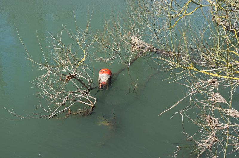
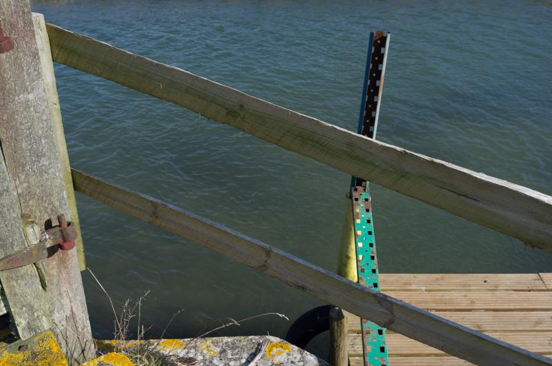
At Duxford there is, unsurprisingly, a ford across the river. It's only really passable on horseback - the depth indicator showed 90 centimetres, higher than last time we'd visited. Our path, instead, ran along the side of the backwater.
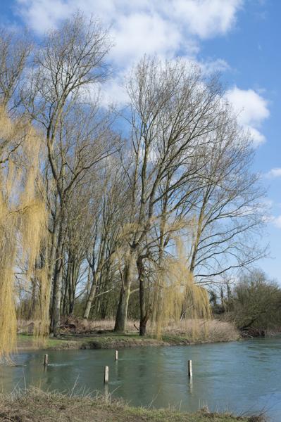
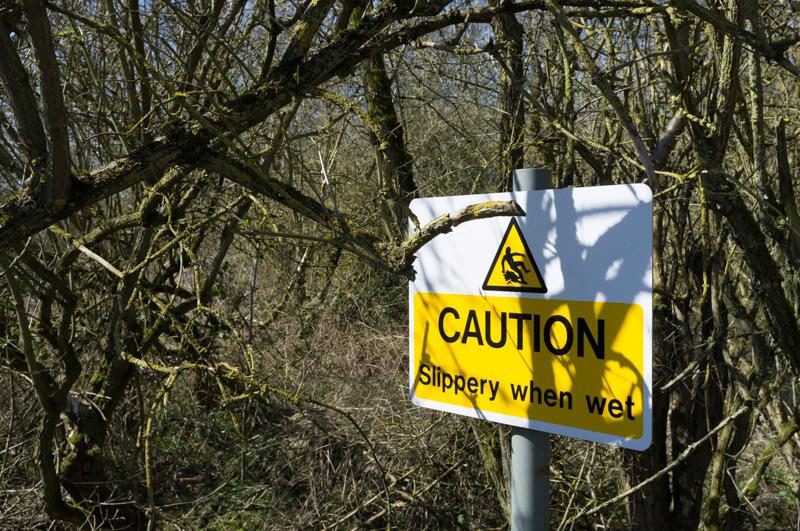
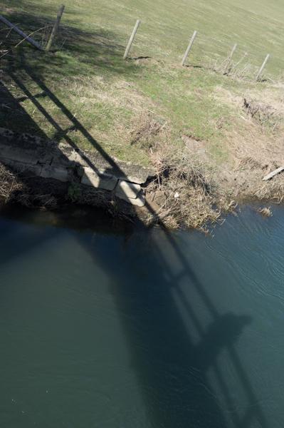
It's probably possible to cheat by walking along the side of a field instead, but we followed the actual riverside path, or scrambled above it where it was actually flooded. Nobody fell in the river, but there were a few close calls.
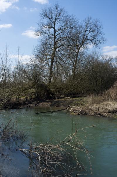
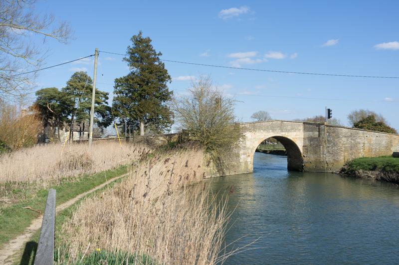
We crossed a footbridge and joined the main Thames by Duxford Lock. After that, we were following the official (maintained, waymarked) Thames Path for the rest of the day.
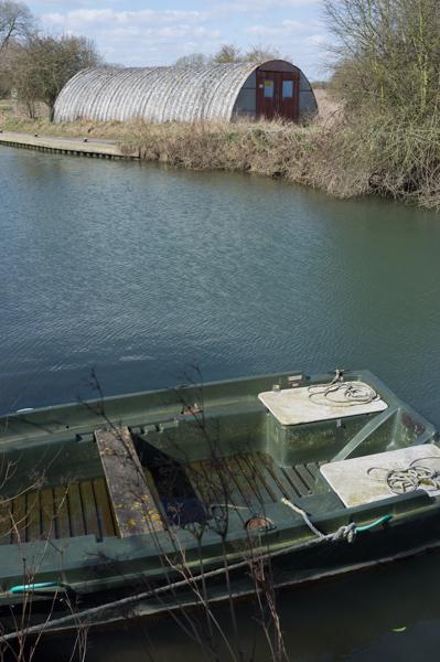
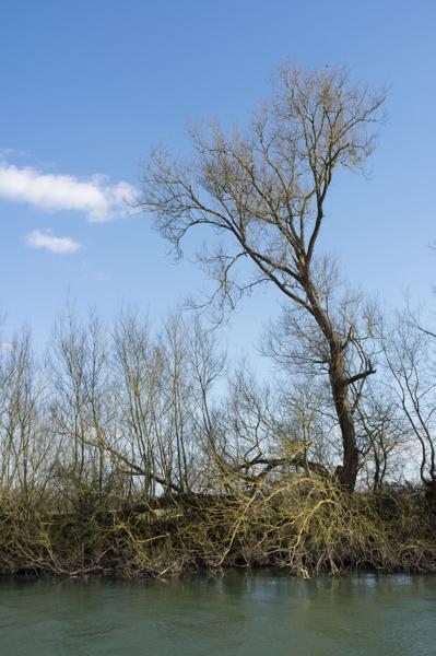
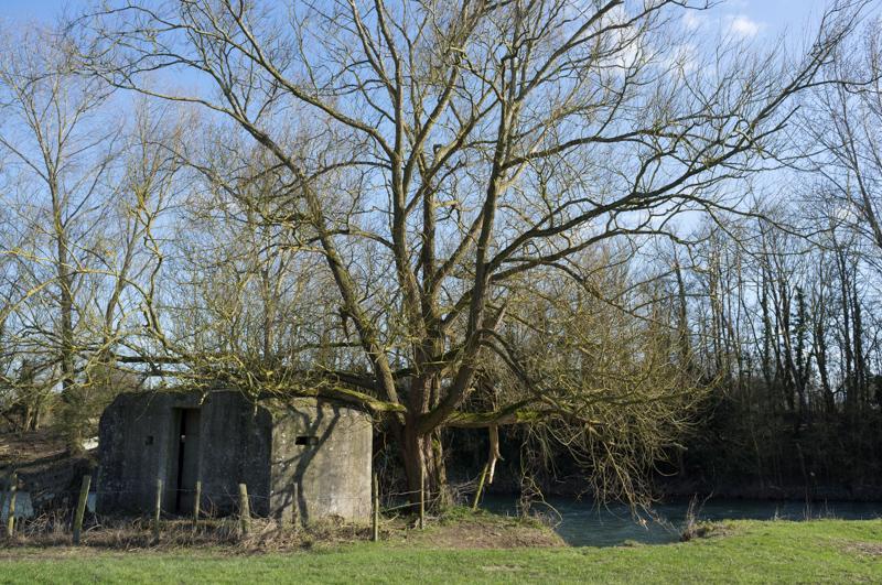
Thames Path from Duxford Lock

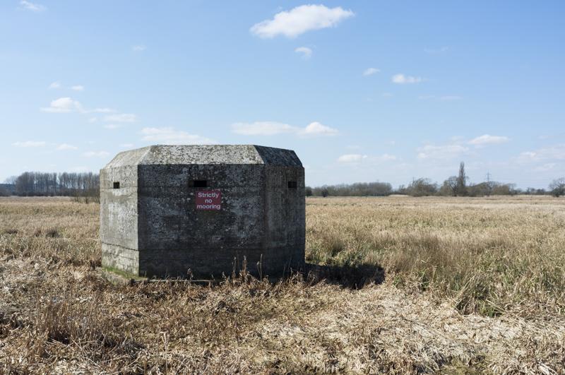
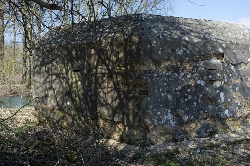
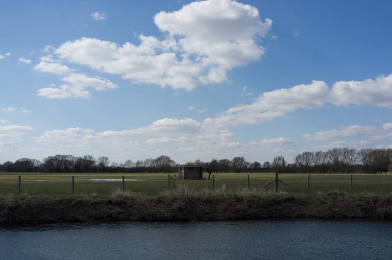
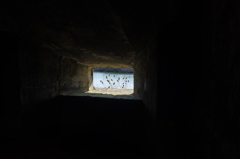
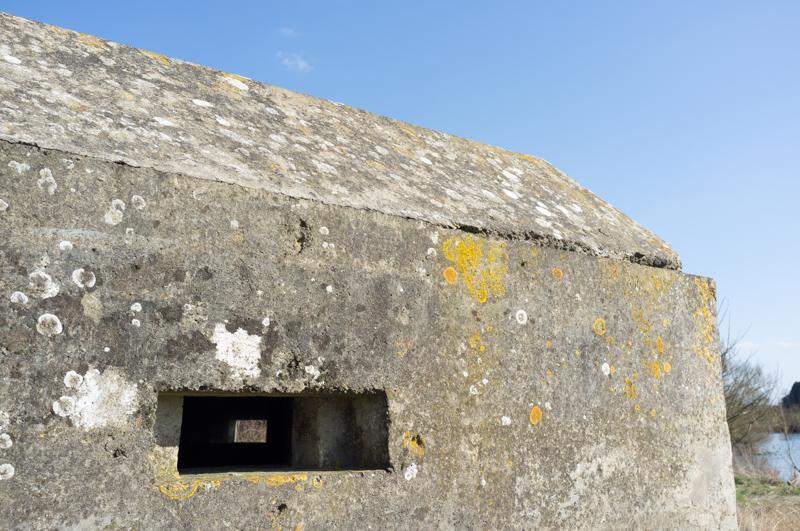
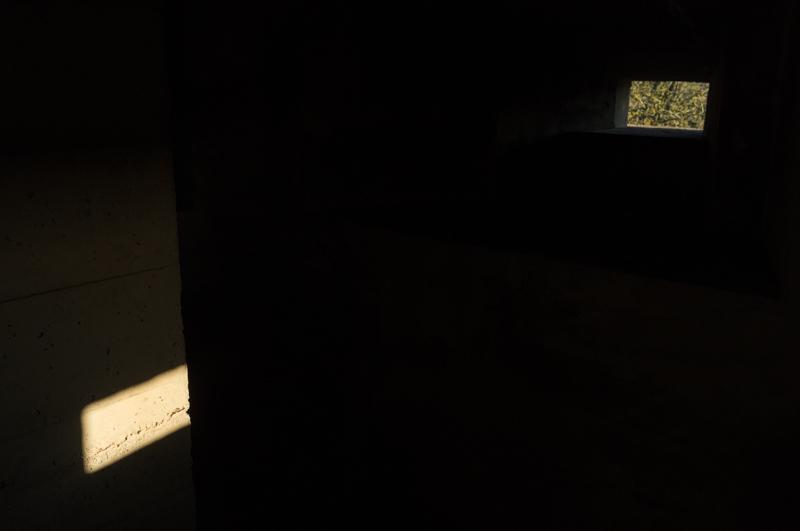
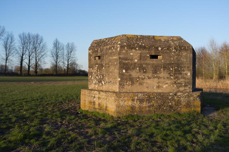
On a recent canal walk we'd seen many World War 2 pillboxes, but this section of the Thames was competing strongly for pillbox-count. I didn't actually count them, but there were loads.
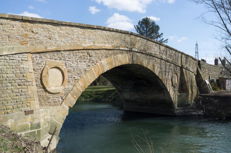
We were just in time for lunch at a pub called The Trout Inn (they're all called that) by Tadpole Bridge. There's no actual place there, just a bridge and a pub.
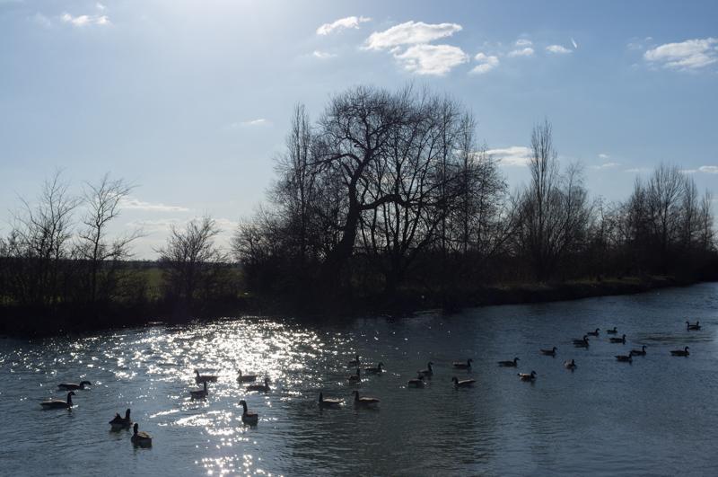
Thames Path from Rushey Lock
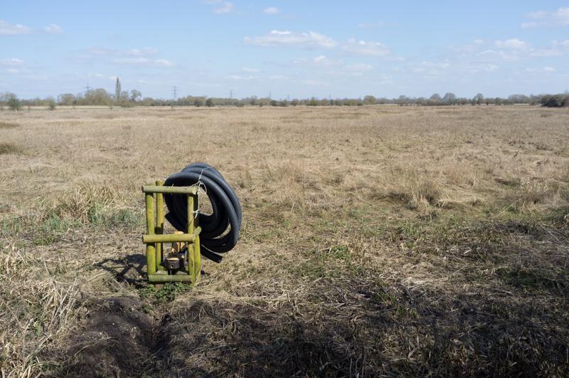
Rushey Lock weir was described in the guidebook as one of the last on the Thames to still use the manual paddle-and-rymer construction. Well, it might not be any more, because they're rebuilding it. As we approached, we began to hear the repeated sound of a piledriver. The Thames Path usually runs across the weir, but it was diverted over a temporary floating bridge.
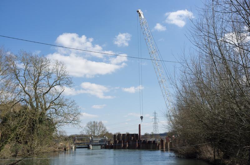
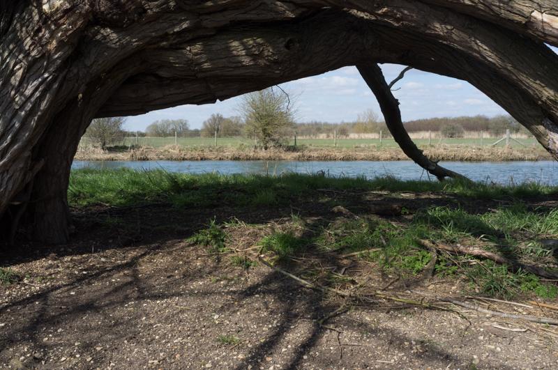
The noise of the piledriver stayed with us for most of the rest of the afternoon. At some points you could hear it echoing off distant hills, which was interesting, but the walk - through riverside meadows - might have been a little more peaceful without it. (I'm usually in favour of repetitive beats, but there's a limit.)
Thames Path from Radcot
We passed a town called Radcot, without stopping at its pub (which I think was the Swan; it was a rare exception from the all-trout rule).

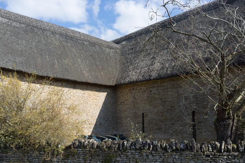
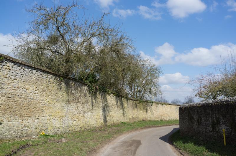
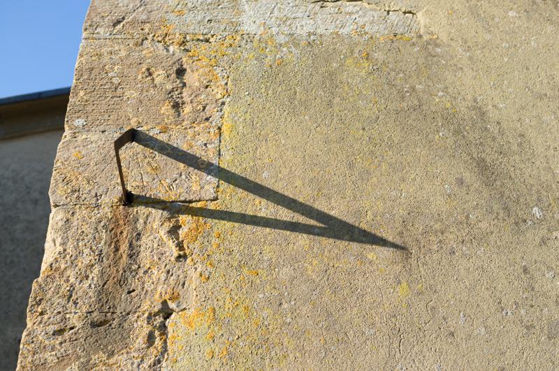
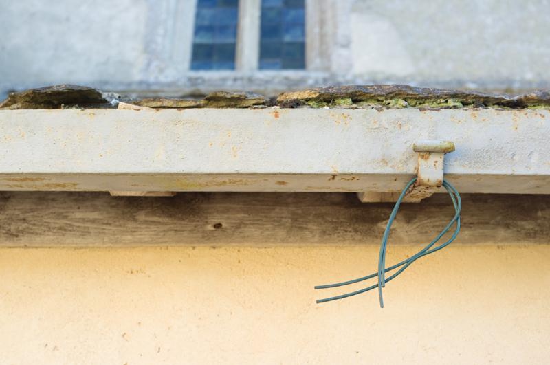
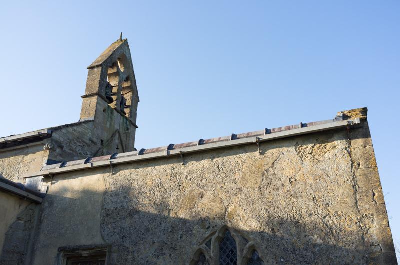
Kelmscott
The next place was Kelmscott, which is largely a preserved estate (Kelmscott Manor, where William Morris lived; it was closed). We had a drink in the pub and then went to see the church.

Thames Path to Buscot
There was only a short distance by the river to Buscot, where we were staying (at Buscot Manor). Which was lucky, because sunset wasn't far off.
That's about all the walking we did that day! Buscot's quite interesting, but I took more pictures around there on the next day (on account that it was light), so I'll say more about in in the next set.