Introduction
Mum and I walked from Hinton Waldrist, which is in the middle of nowhere but has a bus service, to Eynsham. This was a downstream walk; we are actually walking the Thames Path in upstream direction, but because of the transport links, it made more sense to do this section in reverse.
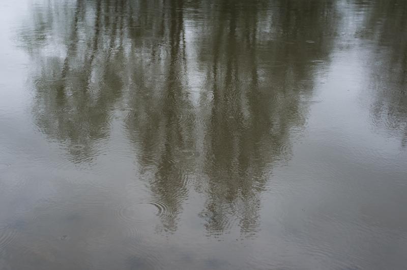
This was at the end of the rainiest April in years, and it was still a little damp.
Hinton Waldrist
Great place name, yes? But not the best in the local area - if we had missed the direct bus, we'd have had to change at Kingston Bagpuize. (Which I'm going to assume is pronounced 'Kingston Bagpuss', for obvious reasons.)
Anyway, we came there by bus from Oxford. The driver let us off by the church, after offering an opinion as to its age. We had a look around the outside of the building - inside, the organist was practicing, but the door was locked. No doubt the high crime rate is a concern - on the village noticeboard, we noticed a communication from the police about the dastardly doings over the past month, of which the most significant was that a pair of underage girls had been caught drinking alcoholic beverages at the bus stop.
We left the village along the road to somewhere even less significant, and nearer the Thames.
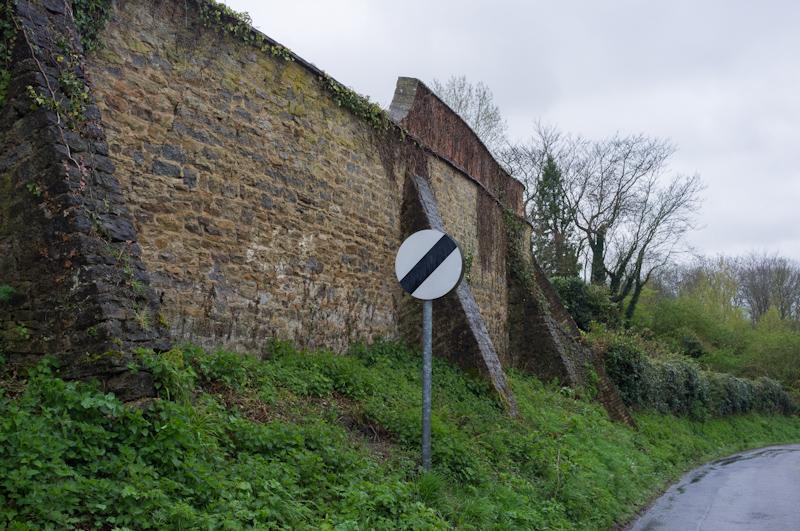
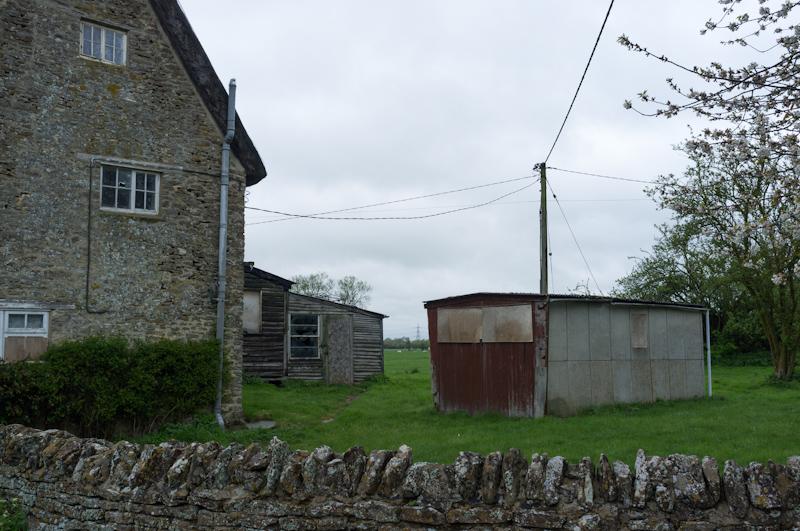
Duxford
This particular less significant place was called Duxford. There's a relatively well-known place called Duxford, which has an air museum. This Duxford doesn't have an air museum. Instead it has a farm and four houses, one of which was boarded up.
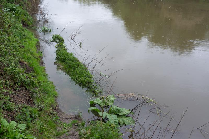
Passing most of Duxford in about a minute, we left the road along a bridleway toward a ford over a Thames backwater - the original route of the river before it was straightened.
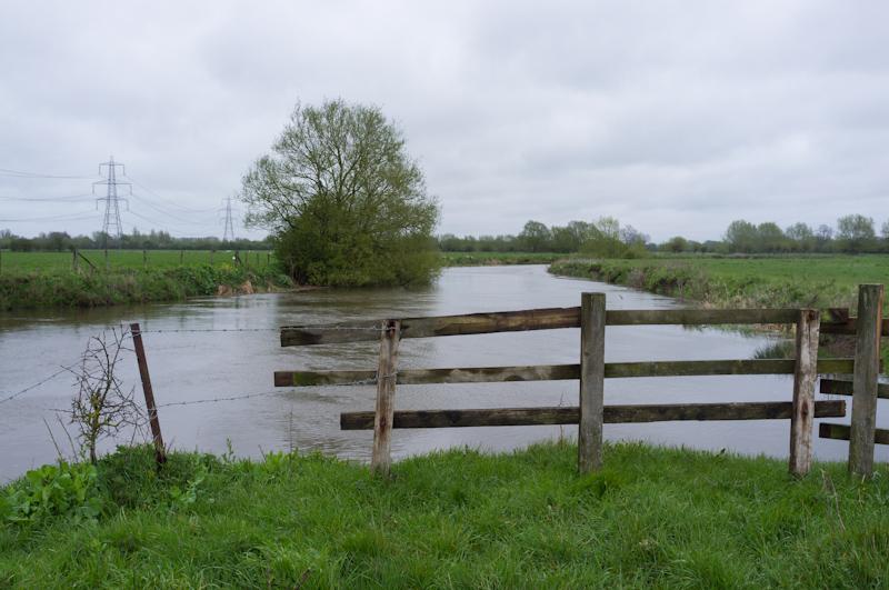
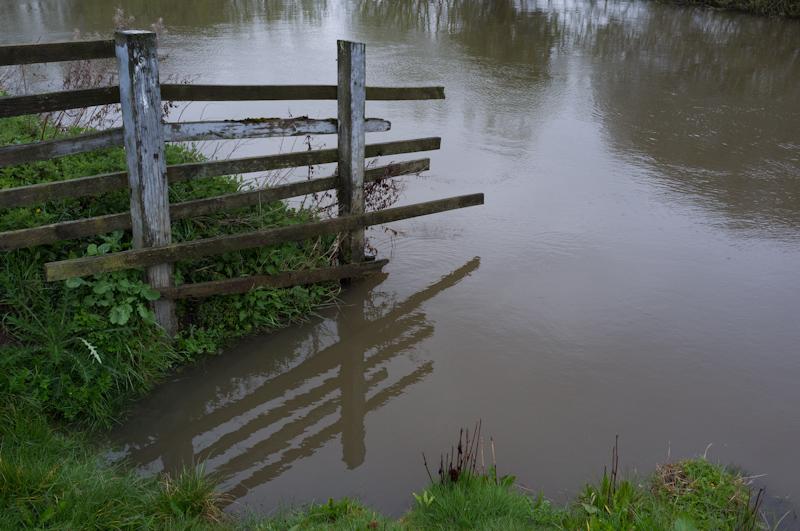
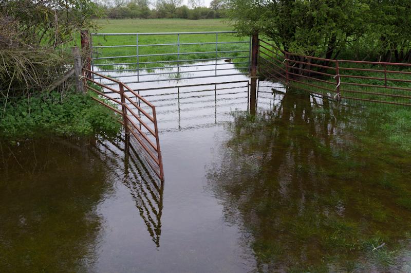
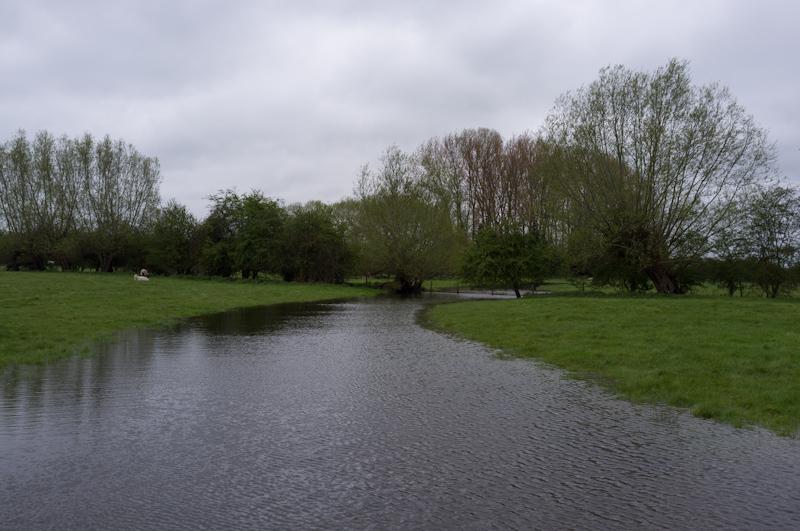
Height markings on posts in the ford indicated 70 cm, which was okay, because we didn't actually plan to cross it. Instead we followed a footpath beside the backwater. However, we hadn't anticipated having to ford part of that footpath! The water was probably deeper than usual.
Thames
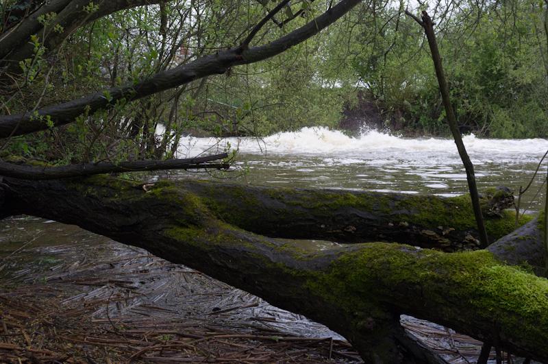
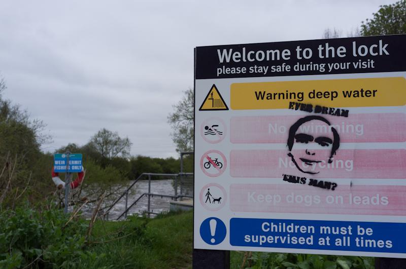
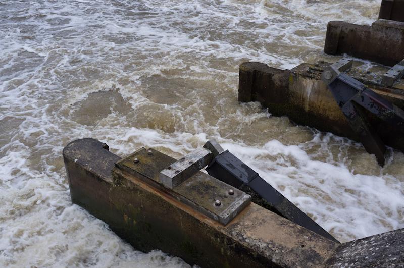
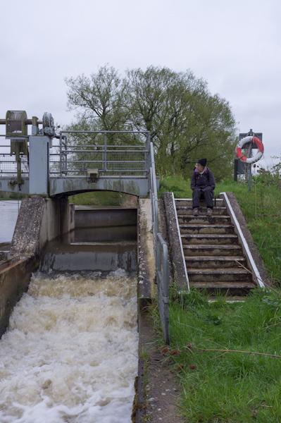
We reached the Thames by a lock and weir, and diverted from our route slightly to admire them. A lot of water flowed rather fast over the weir, making an impressive bow-wave.
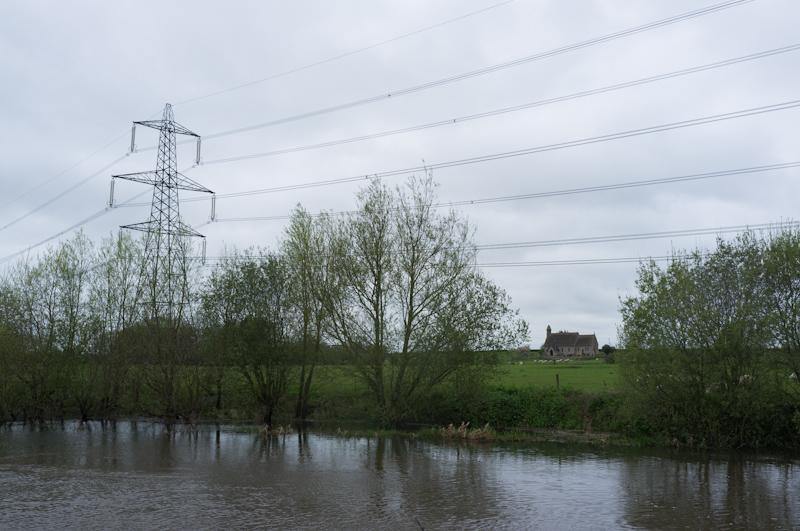
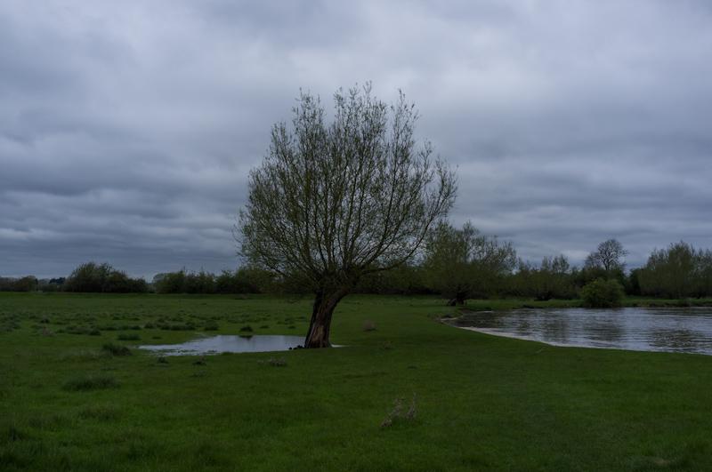
Leaving the lock behind, we set off downstream through a desolate flood plain. There were several fields full of swans, probably a hundred in all; they had apparently given up on the river life.
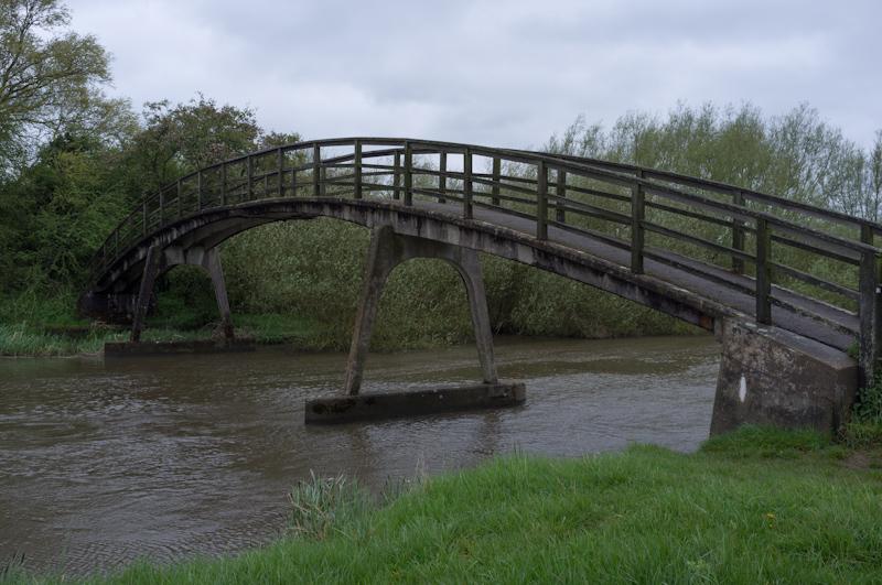
Newbridge
Eventually we reached Newbridge which is, as you will have guessed, about eight hundred years old. The towpath crosses to the opposite bank here, and the bridge is notable for having a pub on each side, although one of these has closed recently. The one that's still open is pretty large - the towpath runs through its gardens and we saw table numbers up to about 120.
A little further along we found a sheltered beach in a turn of the river to sit and eat our lunch. It was out of the wind and actually a pretty good spot.
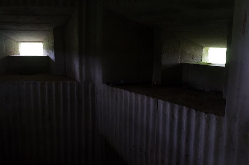
Shortly, we came across a pillbox in a field - presumably just in case Hitler's forces made it all the way up the Thames to here, although it's unclear why they would have bothered.
Northmoor Lock
Northmoor Lock still has a weir which is, apparently, a descendant of the old flash locks. Basically, instead of having machinery to close up the weir, there are a lot of wooden/fibreglass paddles on poles which somebody has to slot in place. Hardly any of them were actually in use on this occasion, because like others, the weir was wide open to let all the rain flow downstream.
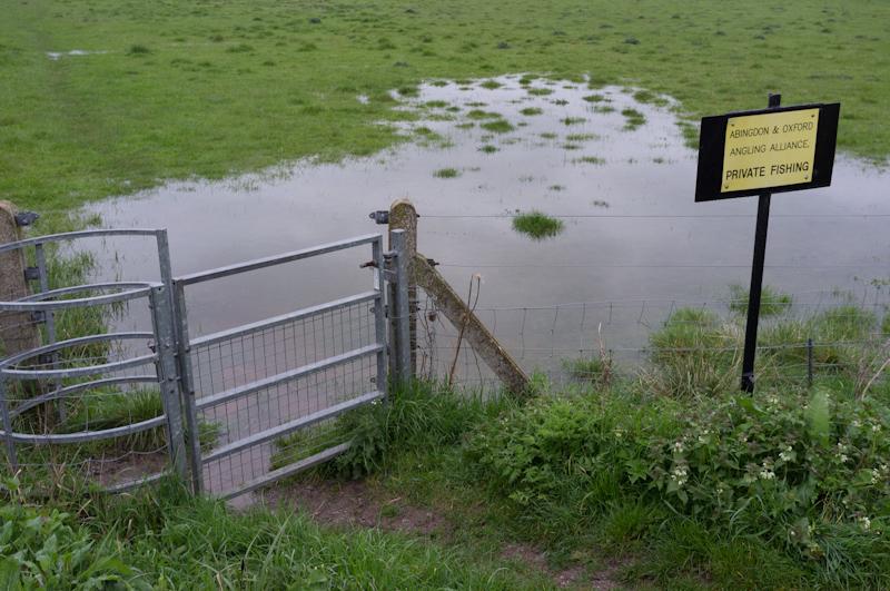
We progressed through only slightly waterlogged meadow, eventually reaching a campsite and immobile-home encampment at a ferry point.
Farmland
The Thames Path diverts from the river at this point, blocked by the estate of immobile homes. We followed the road inland, then a footpath across farmland to rejoin the river further down.
Pink Hill Lock
Back by the official river, we continued to another weir at Pink Hill Lock.
We crossed the weir and the lock to follow the opposite bank for a short while, until the path left the river briefly (where a private house had annexed the towpath). For a short distance we had to walk beside a road, then followed the track to a boatbuilder's yard.
Near Eynsham
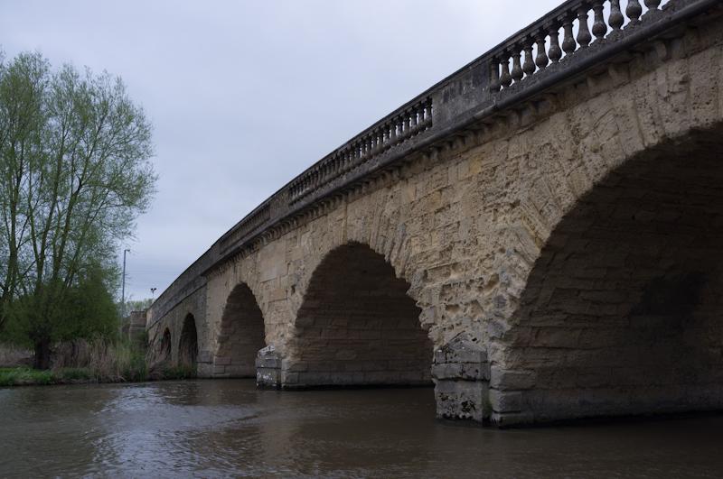
After that we just followed the occasionally-damp towpath through meadows to Swinford Bridge, the toll bridge at Eynsham.
We walked only a short distance from the bridge before finding a pub with a bus stop outside, both of which we utilised.