Introduction
At the end of last year, Mum and I had tried to walk from Reading to Aldermaston along the Kennet and Avon canal. On that occasion we had comprehensively failed, discovering that it was more of a river than a canal and consequently rather flooded.
Two months later, with significantly less torrential weather, we decided to make a second attempt. Dad joined us.
Reading
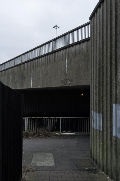
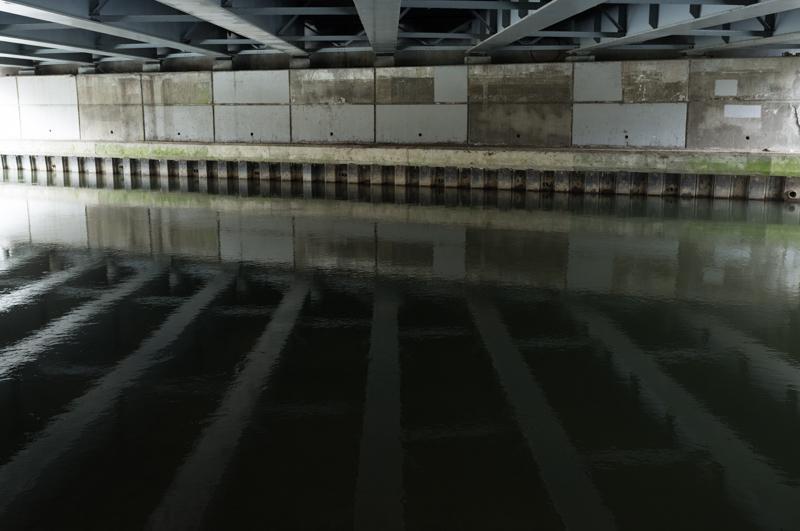
We headed straight for the river, beginning near the lock which had been flooded last time; this time it wasn't, and we were able to walk beside it and take a rather unnecessary loop underneath the road.
The first half-mile through Reading was familiar territory, just drier.
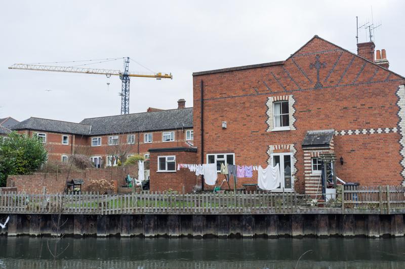
As we neared the outskirts of Reading the river split into two. This happened throughout the day; the river joined and split from the canal navigation. (We followed the canal towpath at each choice.)
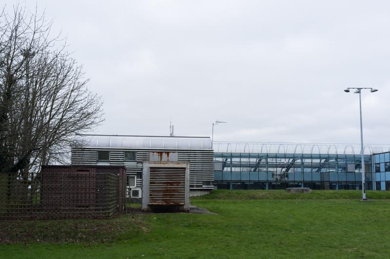
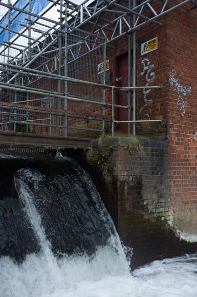
Waterworks
There's a large waterworks near Reading with modern and old parts.
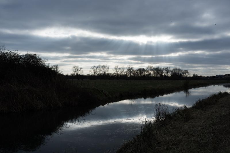
Countryside
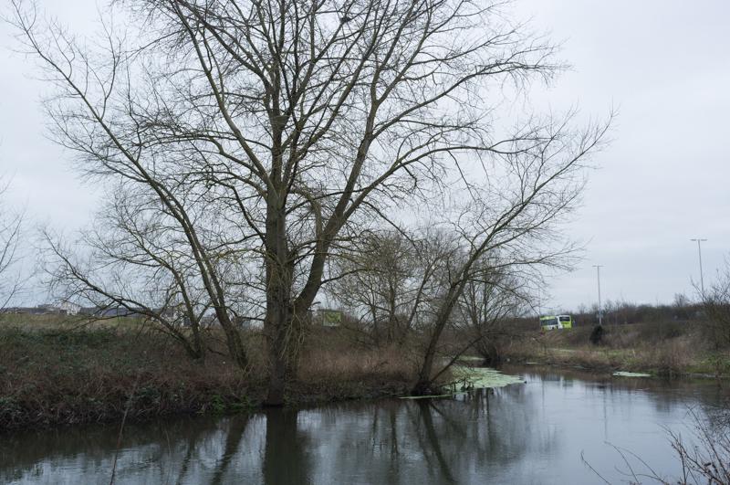
The rest of the route felt very rural.
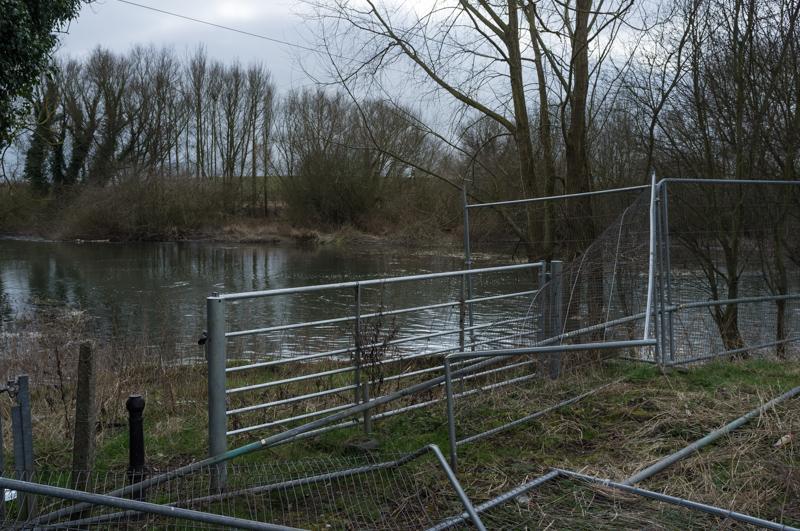
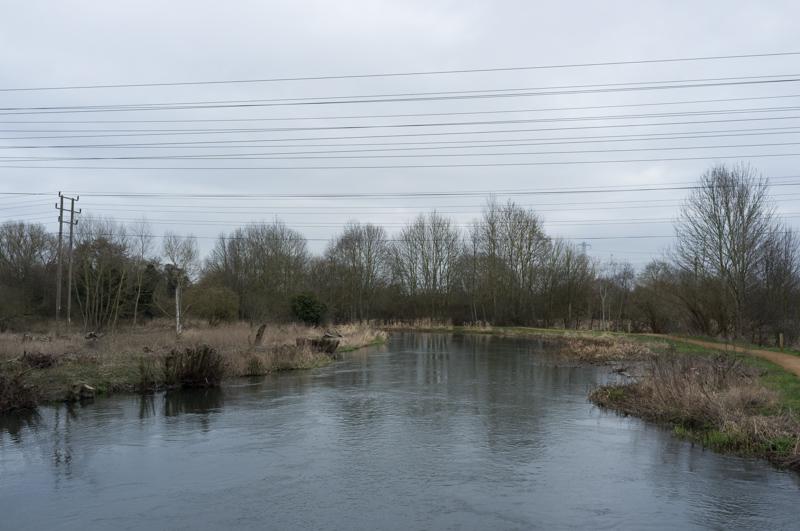
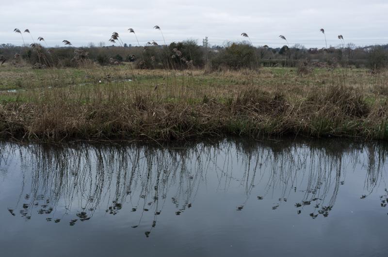
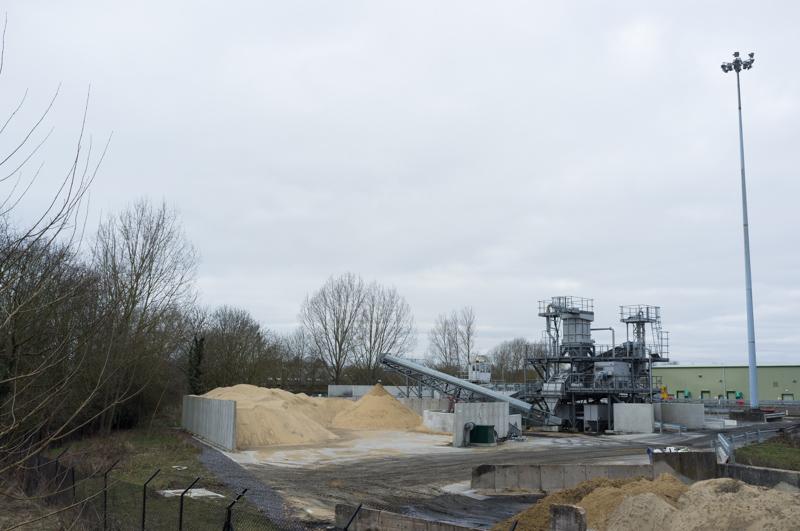
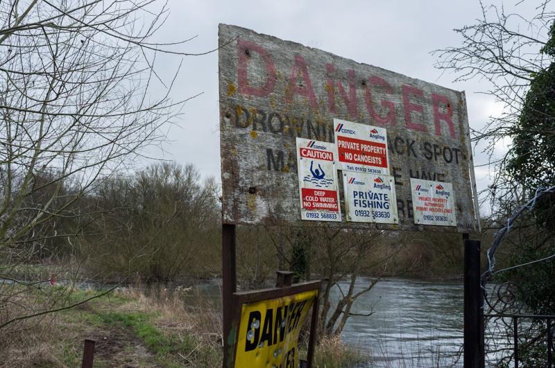
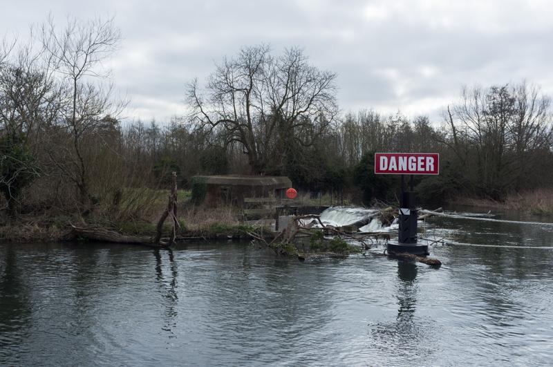
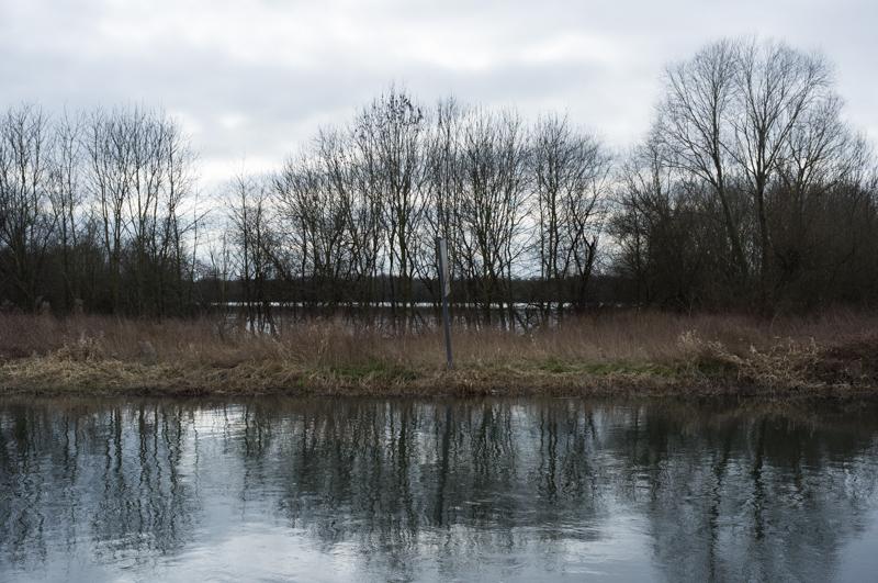
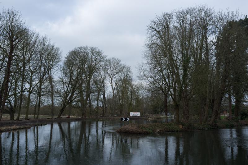
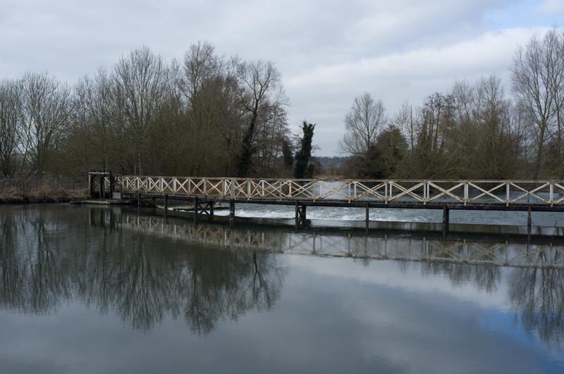
The sheer quantity of water was really quite amazing. I know, if you're walking alongside a river you have to expect there might be some water around - but every time the river and canal navigation split (or at any other excuse), large weirs spewed torrents of the stuff. And if that weren't enough, there were frequent lakes alongside the route. (The lakes are pits where gravel was dug, which explains why Cemex - a cement firm - has a sideline in fishing.)
We stopped for a drink at the Cunning Man pub in Burghfield; their open fire had a sign claiming that wood was brought by narrowboat.
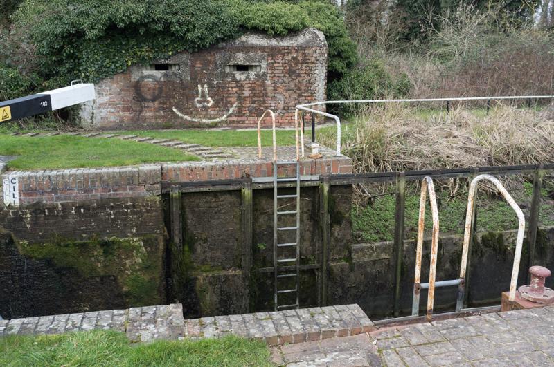
One of the surprising things about the walk was the sheer number of World War 2 pillboxes. I looked it up afterward; apparently the canal formed a major defensive line that was supposed to stop invading German forces.
Garston Lock
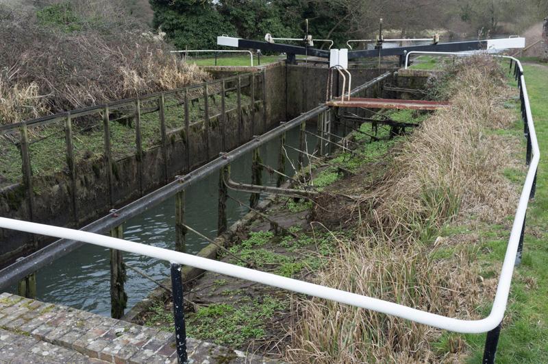
We stopped to eat our lunch at Garston Lock, which is a 'turf-sided lock', meaning they couldn't be arsed to build it properly and just dug a big hole. Presumably there's never been a water shortage on this canal; this lock must use way more than necessary.
Theale to Aldermaston
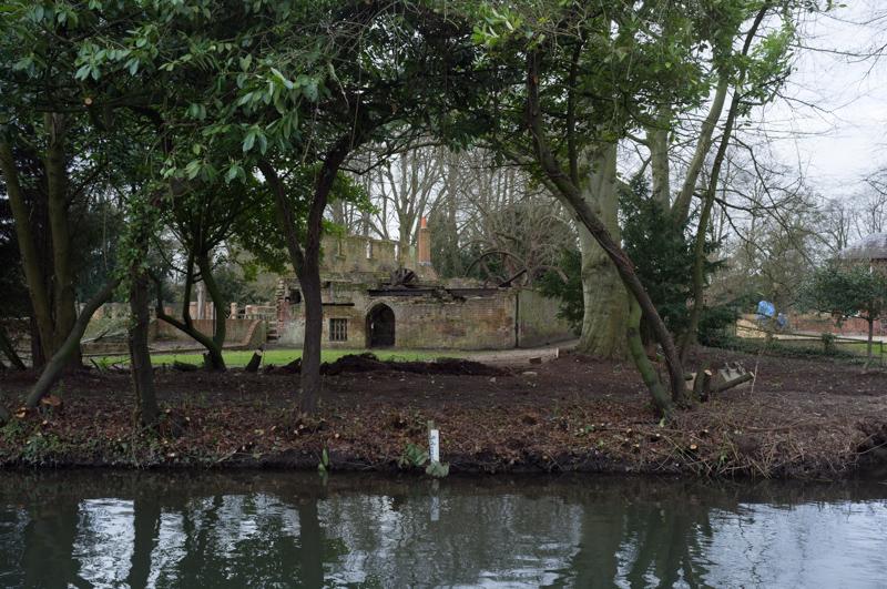
Past Theale bridge there's an old mill with giant metal wheels sticking out of the ruin, which is pretty cool. Unfortunately it was on the other side of the canal, so we didn't get very close.
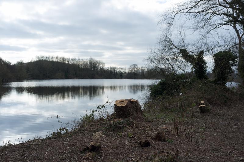
We walked by another large gravel pit. Workmen had been cutting trees around it, and Mum warmed her hands by their bonfire for a bit.
Right near the end of the walk, the sun came out. Well, it was a nice gesture.
We got back to Aldermaston with plenty of time to spare before the hourly train, some of which we spent watching people who'd newly hired a narrow boat as they passed through Aldermaston Lock. They only managed to crash the boat a little bit. Anyhow, that's where our walk ended!