Introduction
We had hoped for a longer walk on New Year’s Day, but as the weather was unremittingly grim and there were still tales of flooding and railway delays all over, Mum and I took the sensible way out and stayed at home in the warm - no, only kidding. But we did go out for a shorter local walk, from Wraysbury station back home to Staines.
Wraysbury
We walked from the station along a footpath past farm buildings and along the edge of a gravel pit to what passes for a high street in Wraysbury.
From there we passed the windmill (a private home) and the village hall.
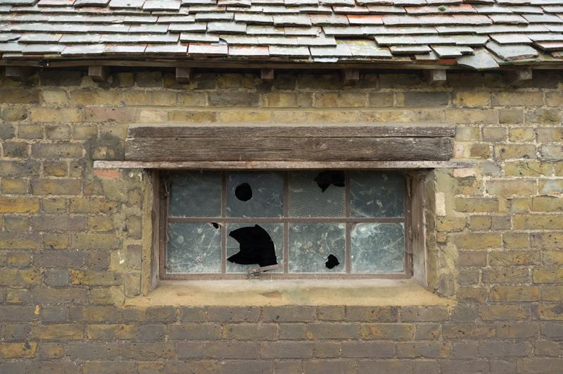
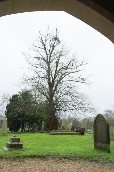
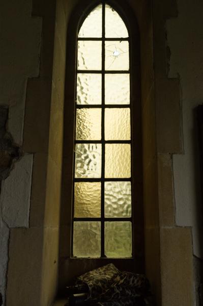
Parish church
The church is a little way further on. It has a porch which was pleasingly dry.
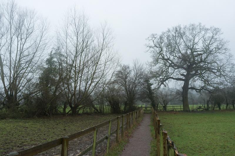
National Trust land
Toward the river there’s land owned by the National Trust. It includes an ancient tree, the Ankerwycke Yew, as well as what remains of Ankerwycke Priory. On this occasion we didn’t visit either, because it was still raining heavily and we decided against the detour. There’s a picture of the priory in my last set of pics from the same walk on another occasion. (I also have pictures of the yew somewhere, but can’t find them.)
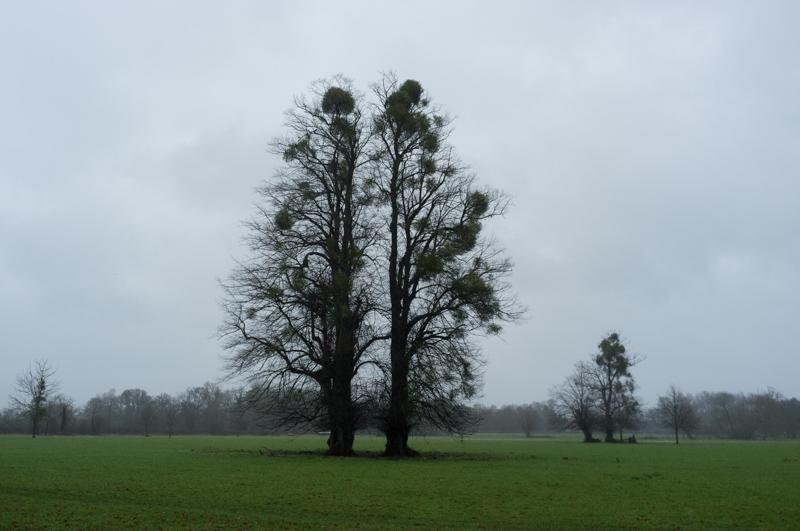
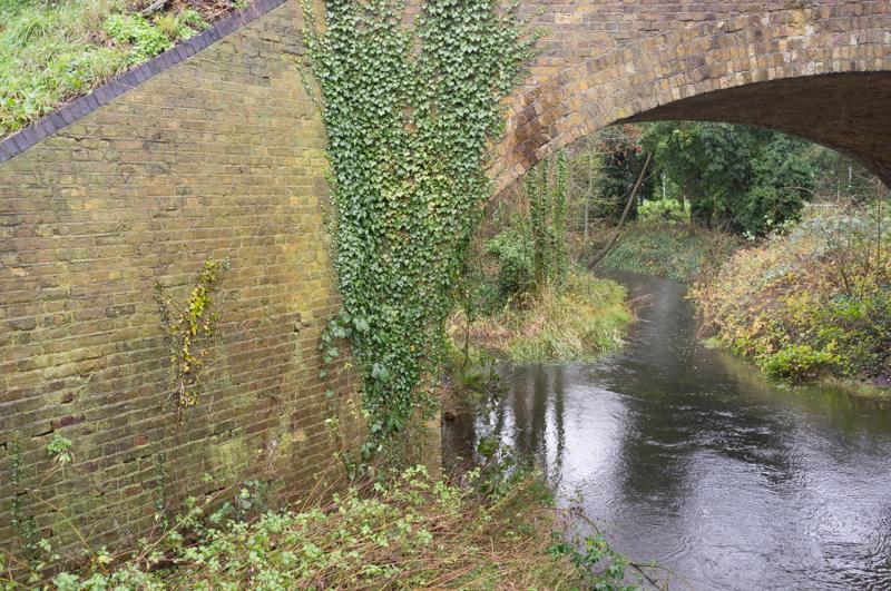
Back to the road
Our route followed Hythe End Road, a long private road by the river, before rejoining a main road.

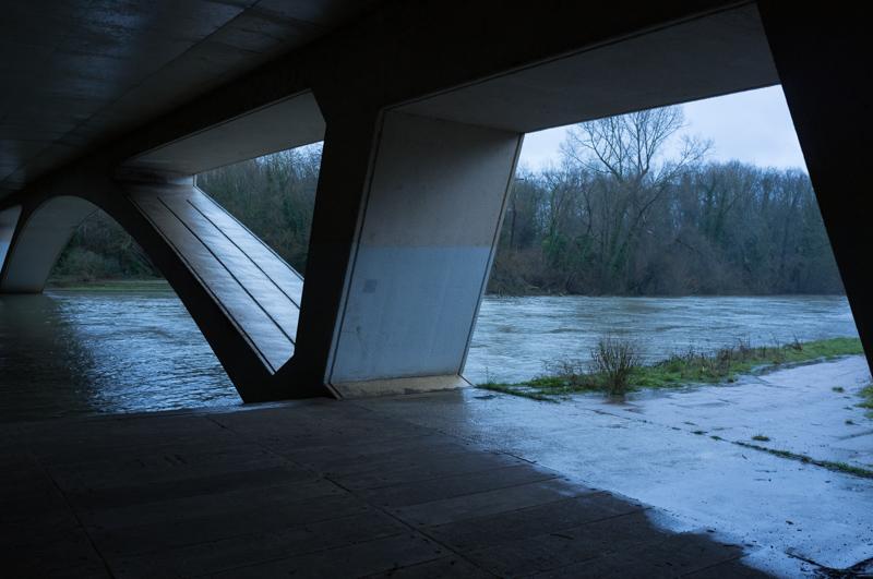
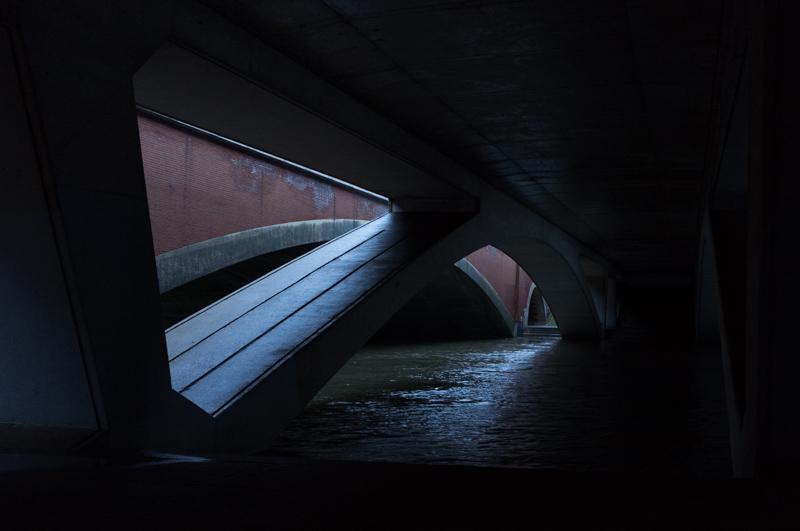
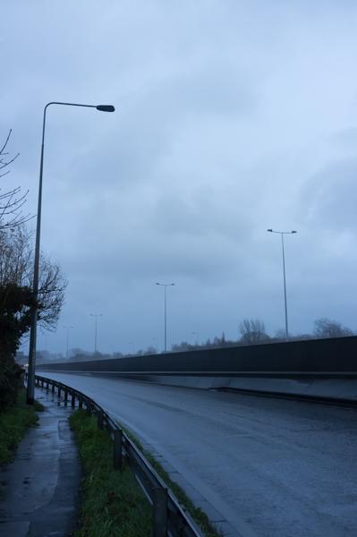
We crossed over the river on a picturesque footpath beside the Staines bypass and the M25.
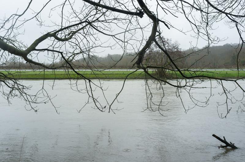
River
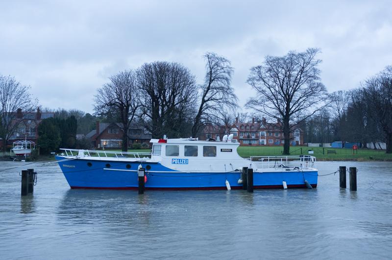
After a quick detour to Bell Weir Lock, we walked back to Staines beside the Thames (which wasn’t actually flooded, we were pleased to discover) as the light began to fade.