Introduction
On one of the days between Christmas and New Year, Mum and I took the train to Wraysbury (the next stop on the line toward Windsor) so that we could walk back to Staines.
This was yet another walk from the same book of Staines walks. I can't remember the name, but it's one of Joan Gardam's.
Wraysbury
From the station we followed the main road for a short distance before turning off on Tithe Lane past farm buildings.
The path runs between the backs of houses and a gravel pit.
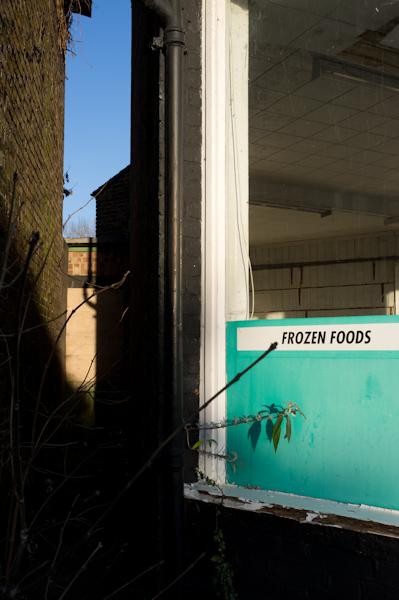
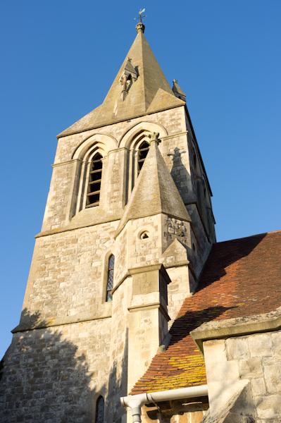
After that it emerges opposite the Baptist church in the high street.
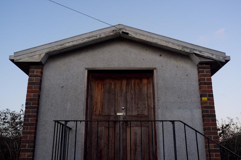
There's a windmill, which has been converted into a house but still has all its sails and everything (we don't think they turn any more except the fantail, which was spinning madly). And a village pond, and a bowls club, and a village green. They're definitely going for the whole 'village' thing.
Riverside
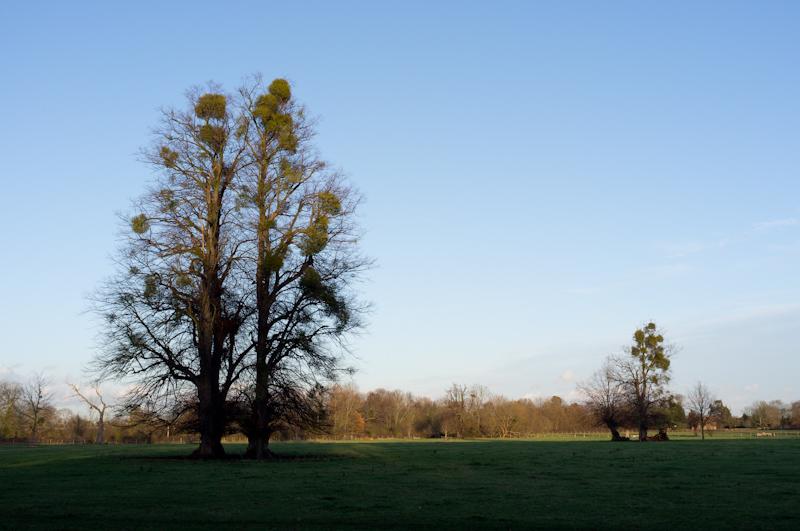
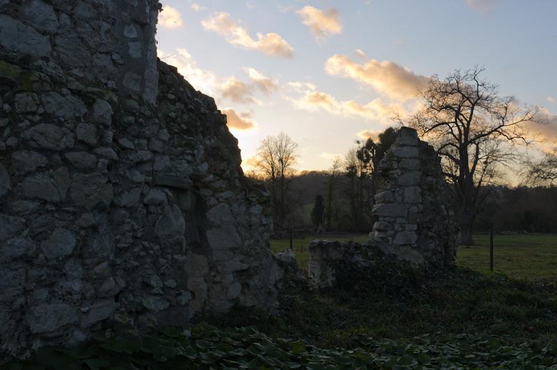
We left Wraysbury by a path from the church, through fields and to the riverside. There's an area of National Trust land here around the ruins of Ankerwycke Priory, which we diverted slightly to see, and the Ankerwycke Yew (a huge several-thousand-year-old tree), which we didn't.
Hythe End Road
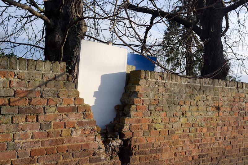
After following the river for a bit, our route led along Hythe End Road, which is a pretty strange area - strange because it feels kind of desolate and ill-kempt, even though the houses are probably hugely expensive. There's a bridge onto an island at one point, which we crossed to see, but it isn't very interesting.
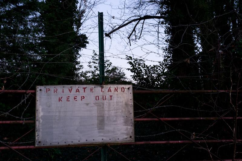
Signage along the road is often less than welcoming. Our favourite is 'Keep out - private - £100 reward'. You get £100 just for keeping out? Where do we claim it?
Riverside
Hythe End Road joins Wraysbury Road, which is the direct way to Staines. Rather than take that direct way, we turned off it and crossed the river on the footpath of the bridge that carries the M25 and Staines bypass. Then we followed the towpath to Staines.
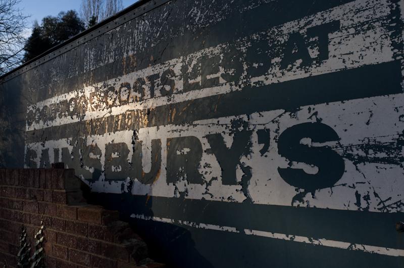
After a diversion to Sainsbury's to pick up groceries, we crossed Staines Bridge and continued on the other side.
That's it; shortly after, we left the river and headed home.