Introduction
Mum, Dad, and I did a circular walk from Box Hill and Westhumble station at the end of 2011.
It's a route we've walked many times before (because it's a nice, varied one). In fact, I have another set of pictures from basically the same walk but almost exactly five years earlier on this site. I didn't look at those until after I'd already selected this set, so I'm quite pleased that they're totally different.
Partly that's because this time, instead of being drenched with bright sunshine, we were instead - well, not drenched, but at least rather damp, from continuous light rain. Still, it was an interesting walk as usual.
To Norbury Park
To begin, we climbed a narrow lane past huge, expensive houses. Then we took a footpath into the woods.
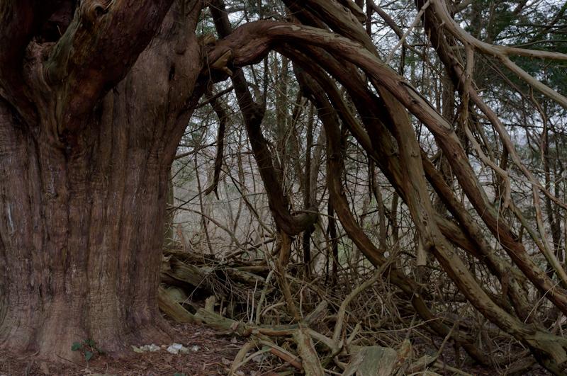
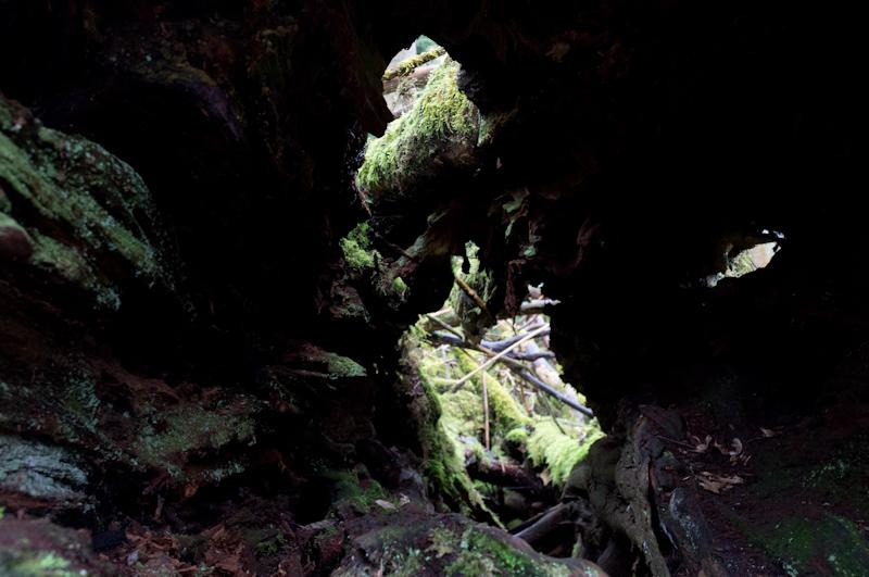
It's at this point that there is a sign to the Druid's Grove, which isn't part of the official route. This time, we decided to visit it. Although it didn't seem especially druidic, there were a number of ancient yews.
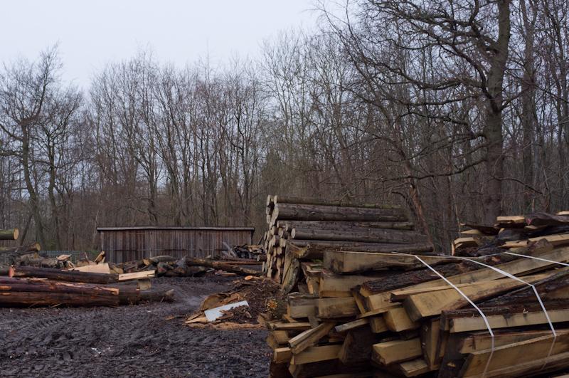
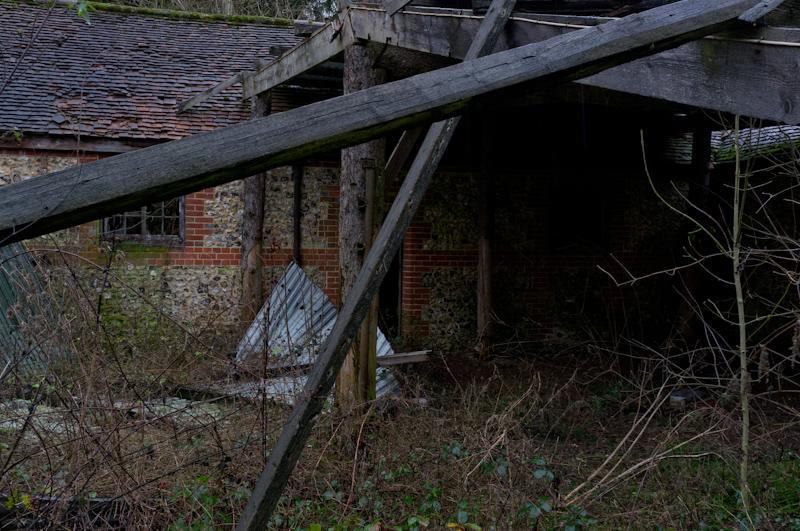
Having taken this side track, we were a little lost, but managed to find our way back uphill to Norbury Park. It contains a saw mill where they use local wood to make garden furniture.
Polesden Lacey area
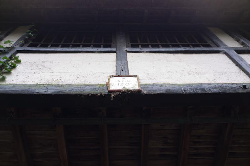
Leaving the park through farmland, we passed the entrance to Polesden Lacey, a National Trust house. A little further on, as part of that estate, there's a half-timbered and thatched footbridge over the country lane we were walking on.
We ate lunch on a slightly sheltered bench, followed a tree-lined track down to a farm, then crossed a field to a sunken lane. Following this for about a mile eventually led us to a main road.
Ranmore Common
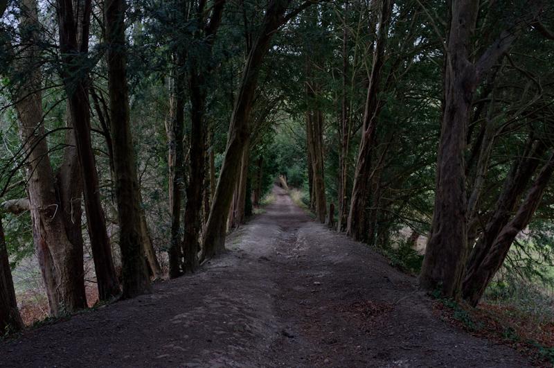
Across the road there's another forested area, part of Ranmore Common. Our path led down steeply through it, crossing the North Downs Way; the ground underfoot was very slippery, and we picked up fallen branches to use for support.
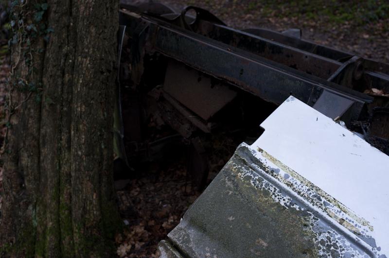
I remembered we had seen the remains of a burnt-out car last time, so I was looking forward to that.
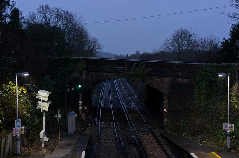
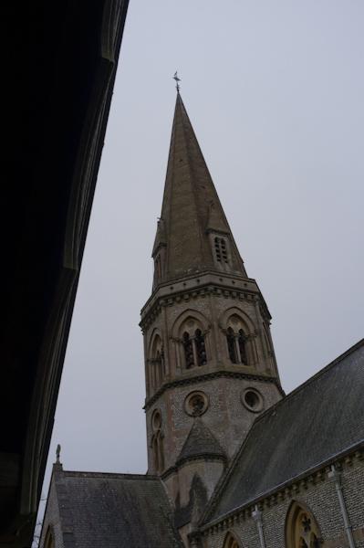
Emerging from the trees, our route ran along the edge of the hill, above the railway line and below the trees. Eventually we left this path and climbed steeply up some steps through more woods. Back across the main road, we walked past Ranmore Common Church.
Back to the station
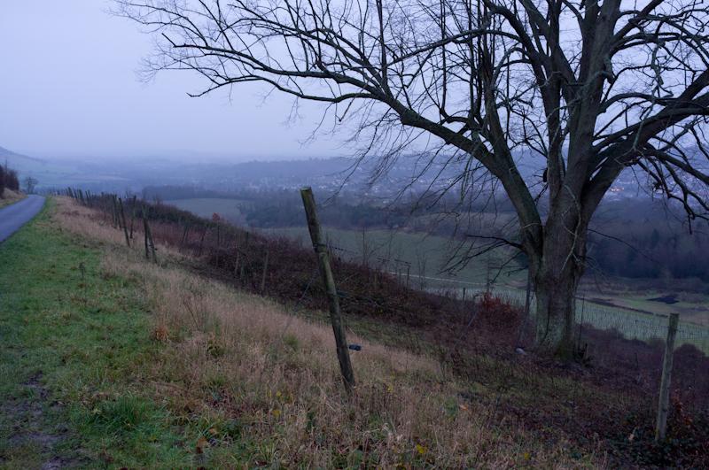
The footpath leading to Westhumble goes around the top of a large vineyard. By this time, it was beginning to get a bit gloomy and the rain had increased.
We reached the station in good time, just as it got dark.