Introduction
Continued from part two (to Cricklade).
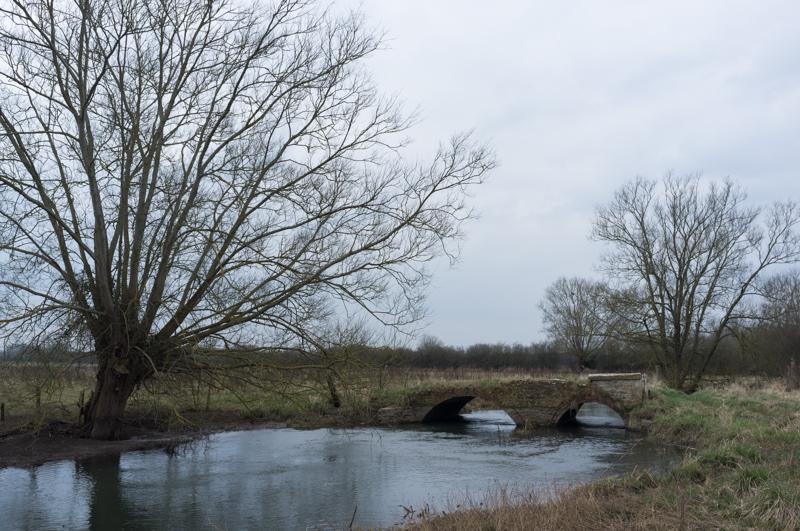
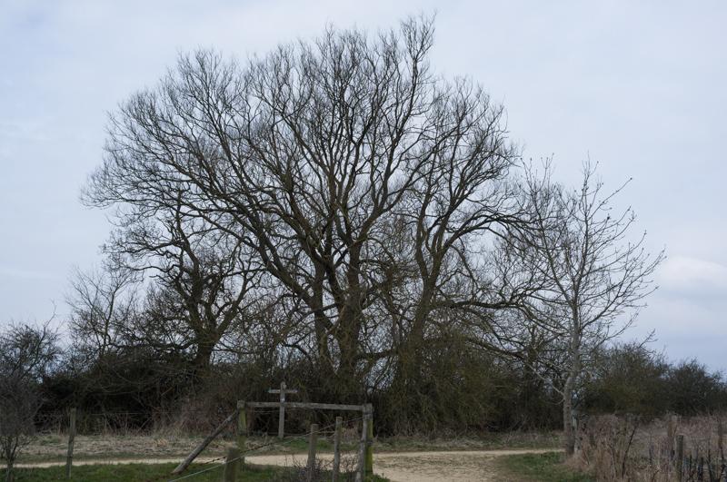
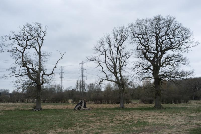
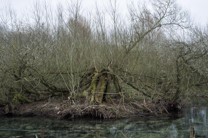
The third and final day was overcast and bitterly cold. This time I've not got so many church pictures, but there's plenty of trees. No pillboxes at all; by this point, the Thames doesn't form much of a barrier to invading tanks.
Cricklade
We got up early, had breakfast and set off before nine. Buying sandwiches in the local shop, we happened to be just in front of somebody involved with the Thames Path; she warned us that it was diverted ahead. The path was apparently still underwater, possibly due to the river shifting its course a little after the floods earlier in the year.
The promised diversion was well signposted; it took us through a residential area of Cricklade toward a disused railway path, which we could follow to reach the normal Thames Path route further on.
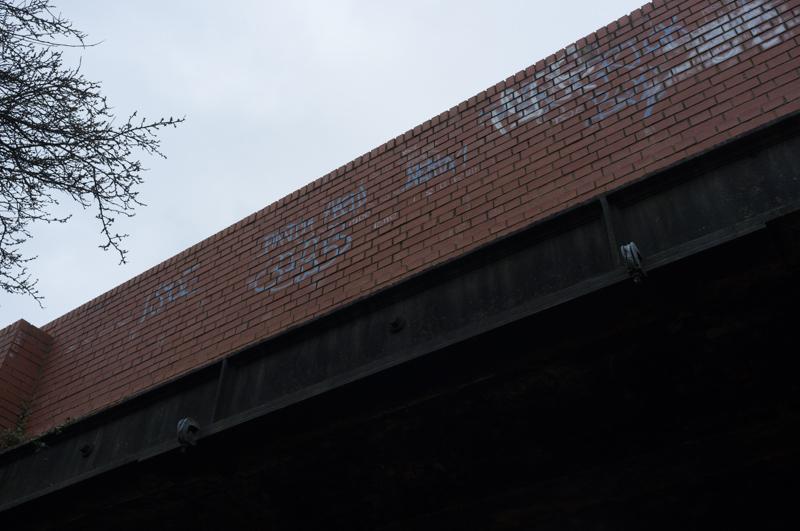
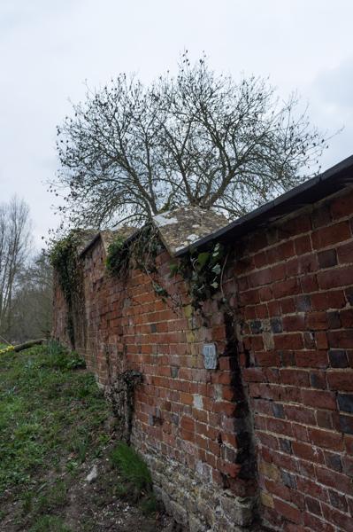
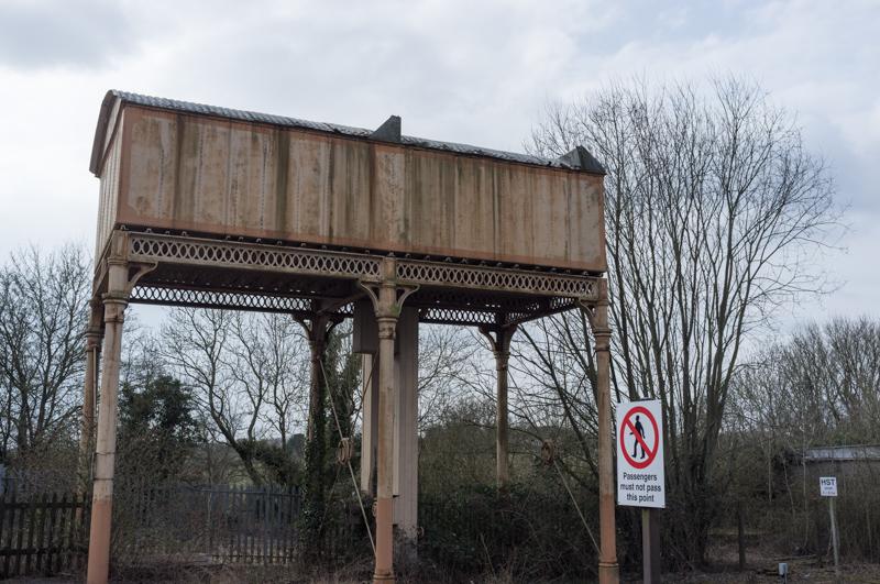
Railway path
Old railways do make convenient paths. On the other hand, if all the minor rail lines hadn't been closed, we might have been able to do this walk in single day sections.
The sign on the gate reads: 'This is not a public right of way but permission is given to walk along the river bank'. An uncommonly nice sign, and nicely made too.
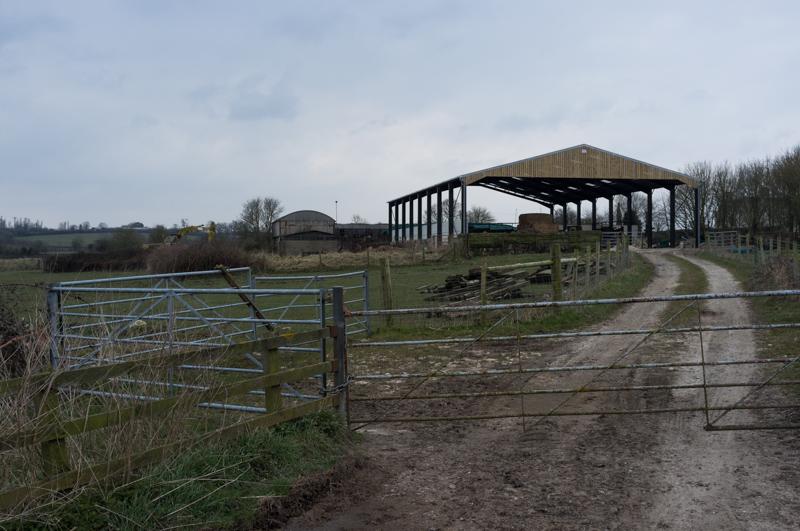
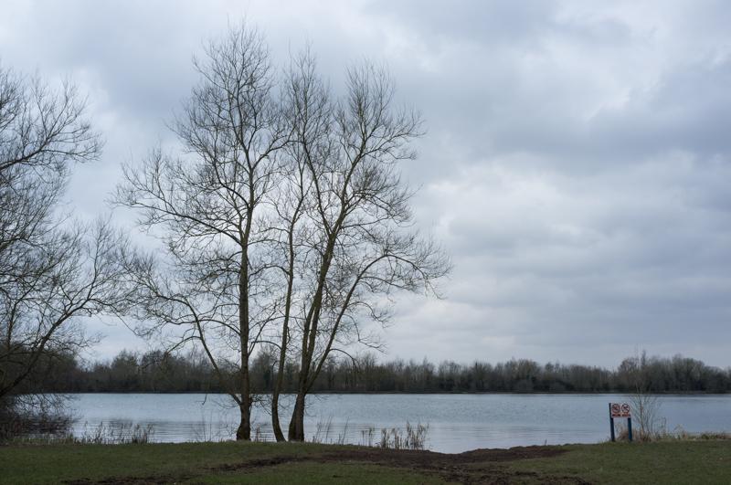
Gravel pits
Leaving the rail line, we followed the path (and sometimes the river) between a cluster of gravel pits. Further north, if you believe Google Maps, they're still digging, but these were just lakes.
Ashton Keynes
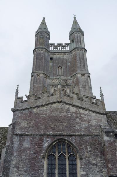
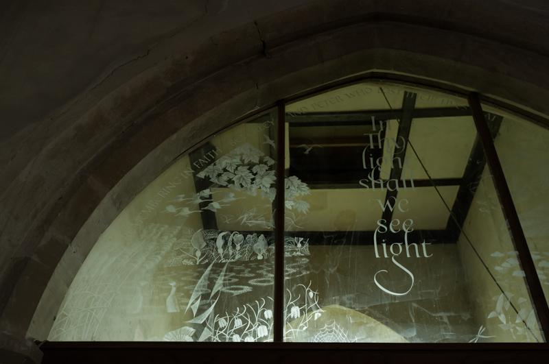
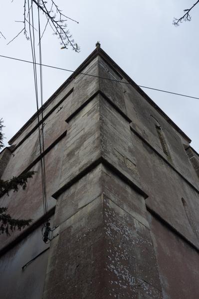
Escaping the gravel pits, we reached the small town of Ashton Keynes. We went to see the church, after which time the pub had opened, so we backtracked to that as well.
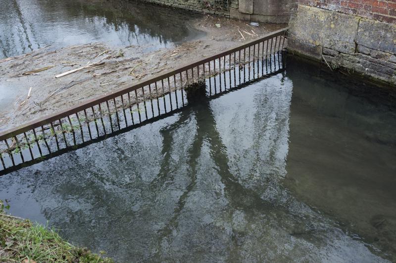
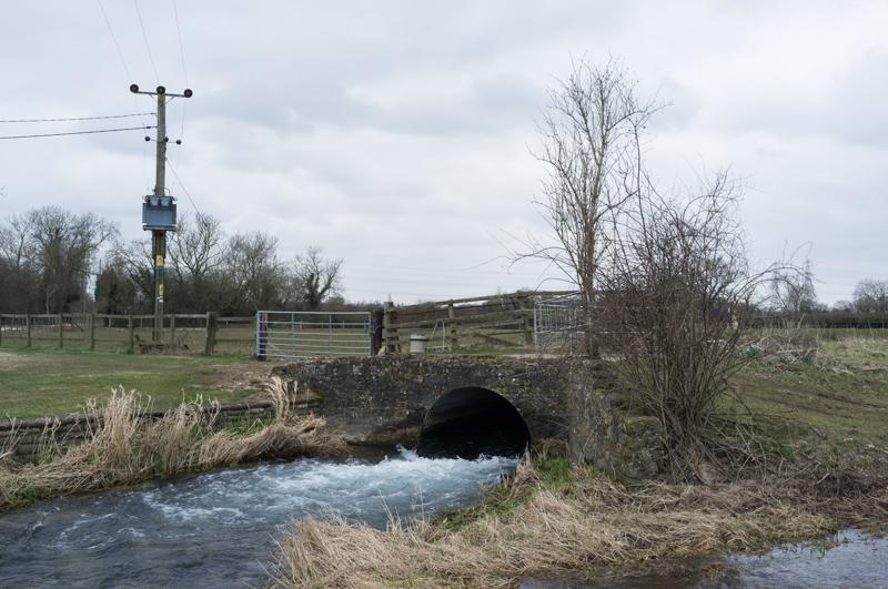
Ashton Keynes is quite an interesting place. Its existence has been documented since 899 (when some king gave it to his daughter, like you do). There's a sort-of moat near the church, and there are several large stone crosses around the place. A mill stream runs through parts of the town, looking picturesque.
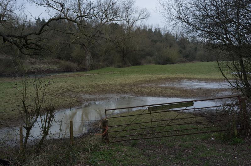
More gravel pits
As if there hadn't been enough gravel pits before, we then entered a band of countryside where basically every field had been dug out and turned into a lake. The river and path runs through the middle of all this.
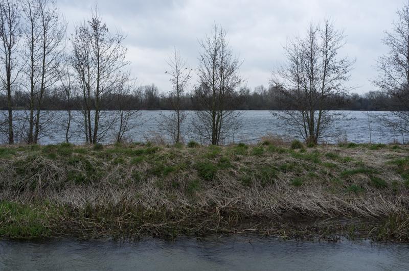
A sign informed us that one large lake was 'Britain's only residential lagoon'. I'm not sure what the actual definition of a lagoon is, but I'm pretty sure it should be tropical or at least quite warm. This one wasn't.
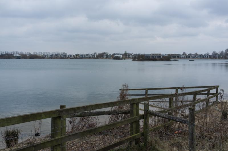
Passing some of the housing, we crossed the road into Neigh Bridge Country Park. Not a bad name (and yes I did do the 'neigh' sound effect whenever I said it). We found a picnic table away from the worst of the wind, and sat there to eat our sandwiches.
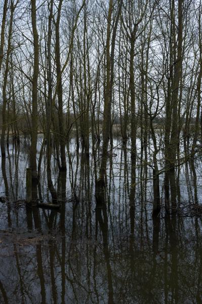
Open country
That was the last of the gravel pits; afterward, the path ran beside the Thames through farmland that nobody's yet dug up.
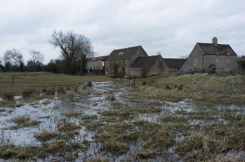
Shortly after that, we joined a road past some houses in a settlement at the outskirts of Kemble. Turning away from the direct route into town, we followed the river through trees, crossed a major road, and set off along more fields on the final footpath.
To the source
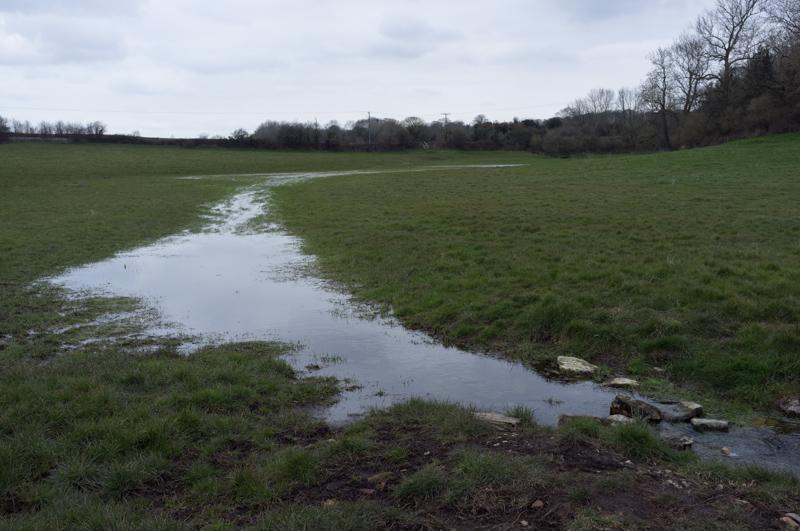
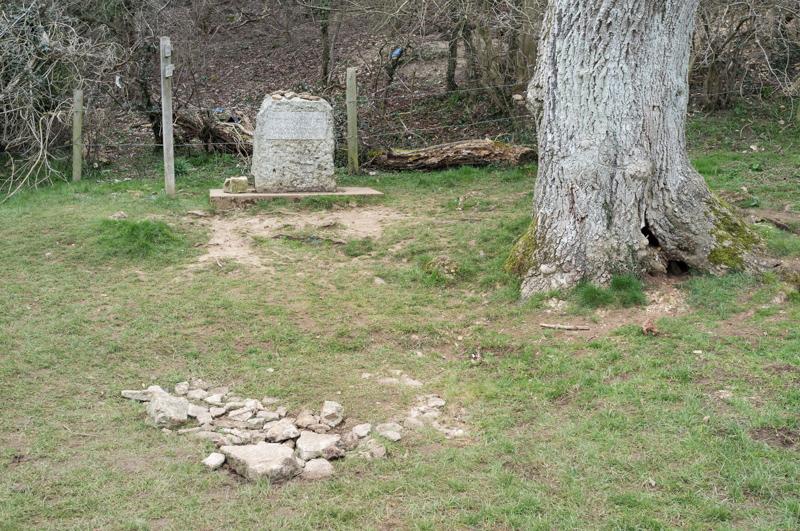
The 'river' petered out in a damp field, leaving us to walk the rest of the way to the official source alone. (Well, not entirely alone - unlike most of the rest of the walk, we saw quite a few other people around this stretch.)
Apparently the source is usually completely dry, as it was on the day we visited. This does seem to raise a complicated philosophical question, but we ignored that and took a tourist photo. I got Dad to take a shot of Mum and me on my camera; this is it.
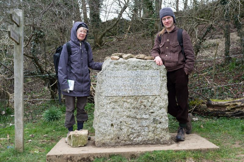
Somebody was making a video, I don't know about what, but they took some shots of us standing around the stone anyhow. We might be famous! By which I mean 'on YouTube'.
After that we had to retrace our steps for the last mile or so, and head back to Kemble.
Kemble
While waiting for the train at Kemble, we took a quick look around the place.
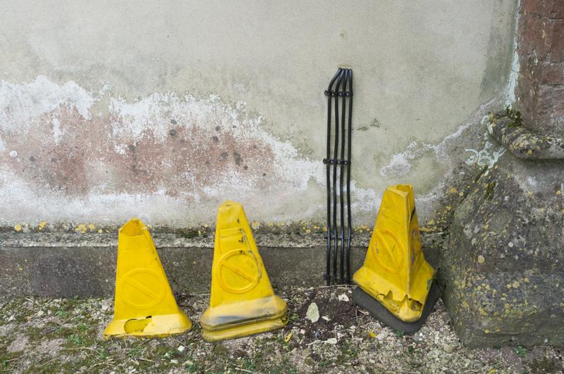
So, after 184 miles (actually rather more since we walked the 'extension' and did most of the London part on both sides of the river), that's my final photo: some traffic cones. Seems appropriate!
We were glad to finish the walk at the time simply because it was so cold! But seeing the Thames dwindle to nothing was quite impressive. If anyone else is thinking of walking it, I definitely recommend the Thames Path overall.