Introduction
Continued from part one (to Buscot).
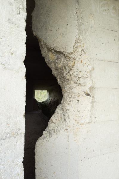
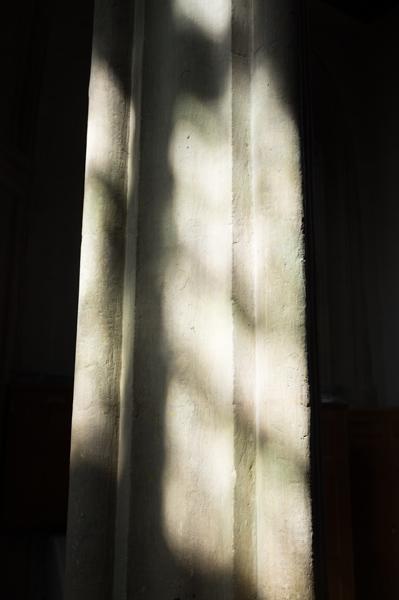
This was another cold but sunny day, and a rather pretty walk (except for the main-road part). I'm afraid the pictures below are a bit church-heavy, because we did visit several and they're quite photogenic. At least there's fewer pillboxes this time.
Buscot
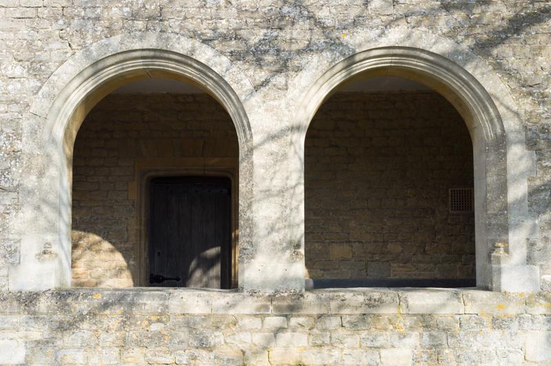
After breakfast, we had a walk around Buscot (which isn't very big). We'd been staying in the old manor house, which was built in 16-something; there's a massive stately home a few miles down the road, from when the local lord struck it big a few centuries later. Nowadays, the National Trust appears to own most of Buscot, and it's impressively maintained and manicured.
We walked down to the main road, then along the path to the church (which was closed), before returning to the river.
Thames Path to Lechlade
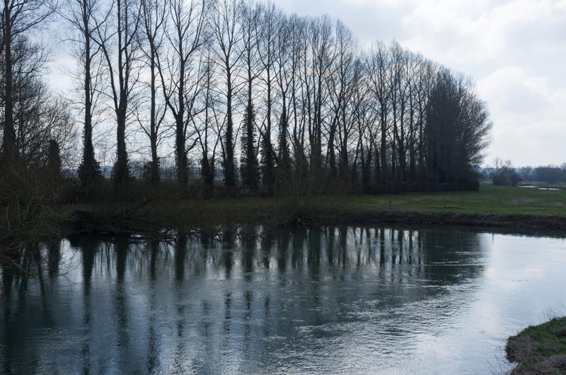
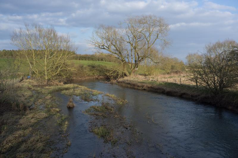
It's a few miles from Buscot to Lechlade along the Thames Path. It would probably be less than half the distance if you walked it in a straight line, although you'd get rather damp. I think that stretch was the curviest bit of the entire river, including a couple of 180 degree turns.
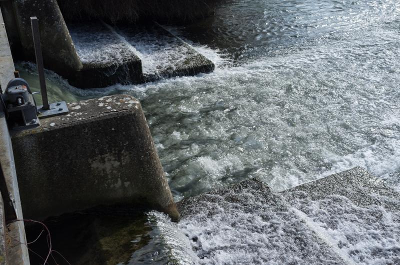
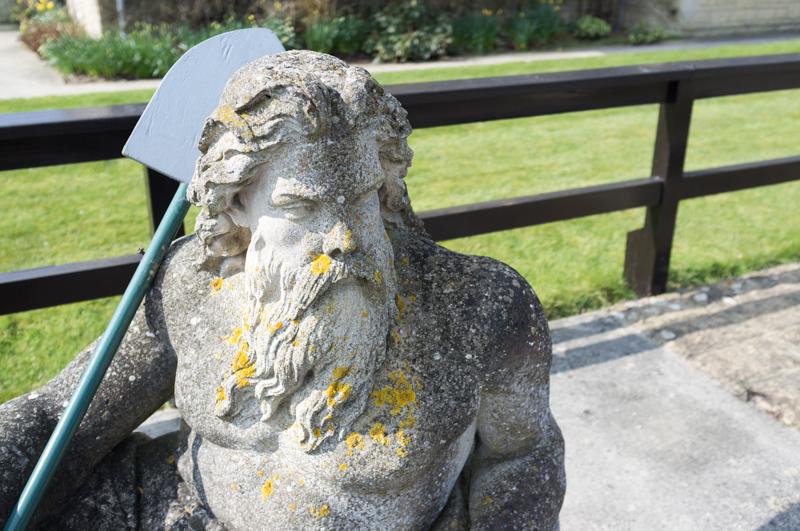
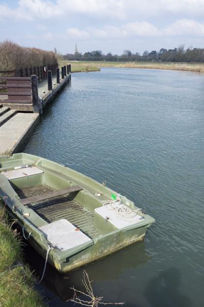
Approaching Lechlade, St. John's Lock had a sculpture of Old Father Thames; originally made for the 1854 Crystal Palace exhibition, it spent time at the source of the river before being moved to this lock.
Lechlade
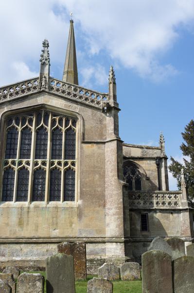
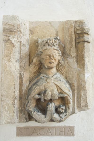
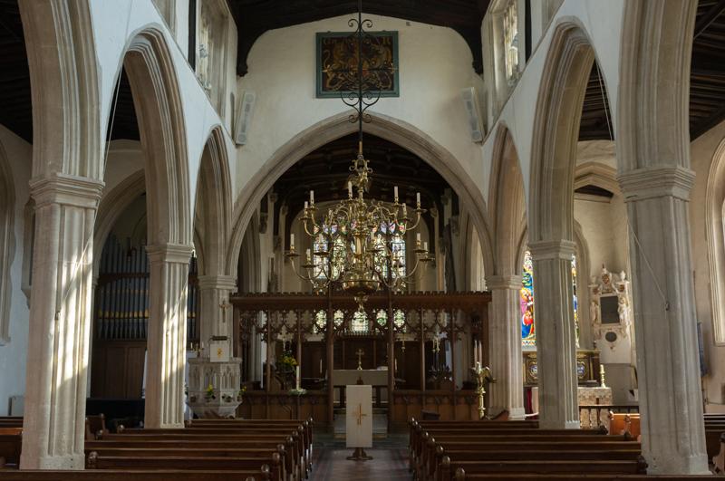
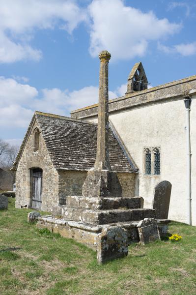
We left the river at Lechlade and walked around to look at that small town. It has a fair few shops including a post office which sells knitting supplies, but no baker's, thereby foiling my plot to obtain a Belgian bun. After looking at the church, we did manage to get a slice of cake in a café.
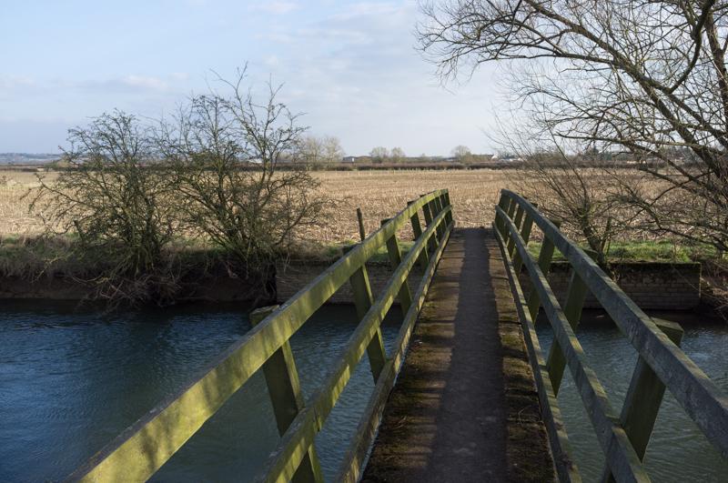
Thames Path to Inglesham
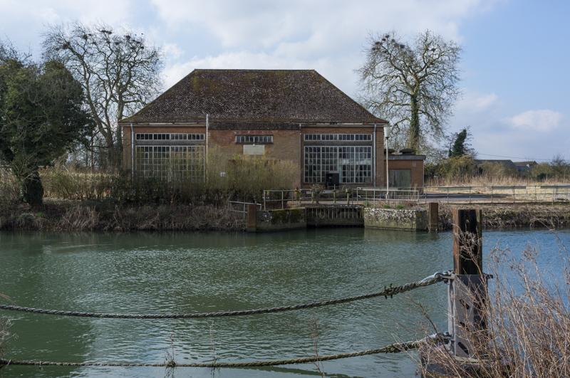
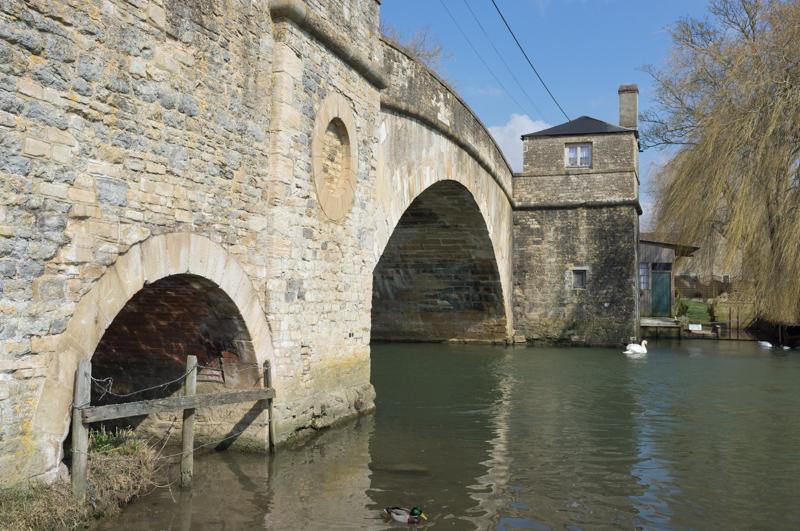
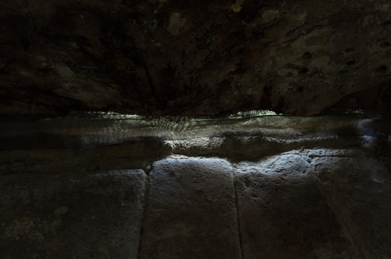
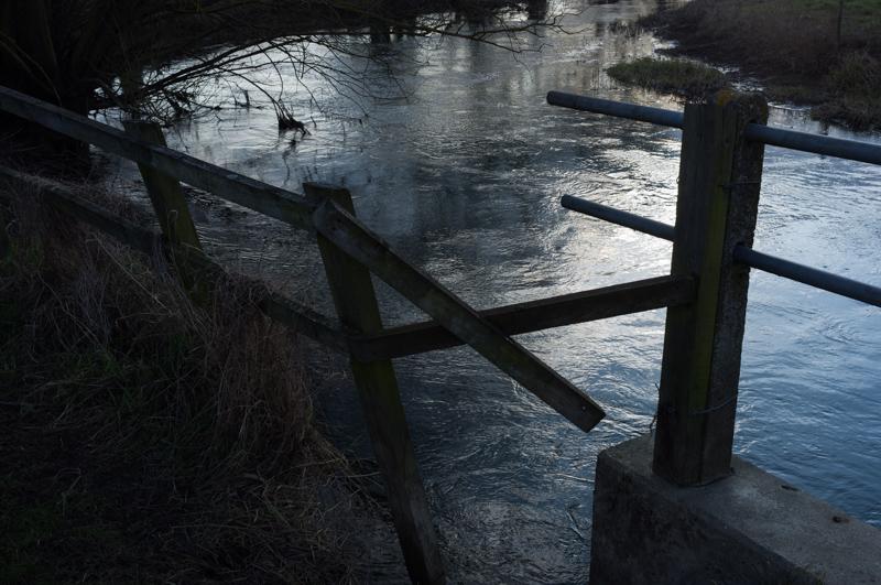
From Lechlade, the path curves around a meadow until it reaches the point where the disused Thames and Severn canal branches off. This is the last point where the Thames itself had a towpath; above here, the river wasn't navigable.
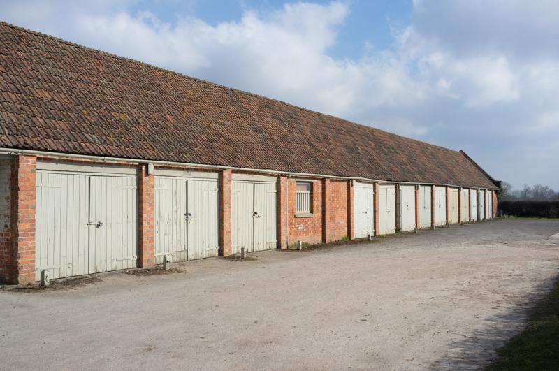
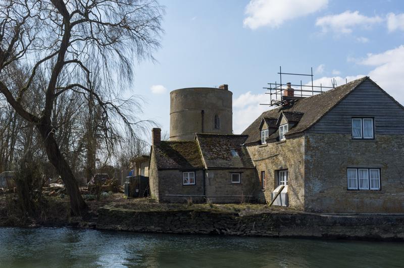
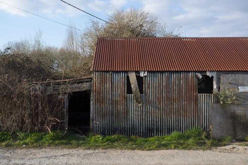
Instead of ordinary canalside cottages, the canal had 'roundhouses' built for its staff.
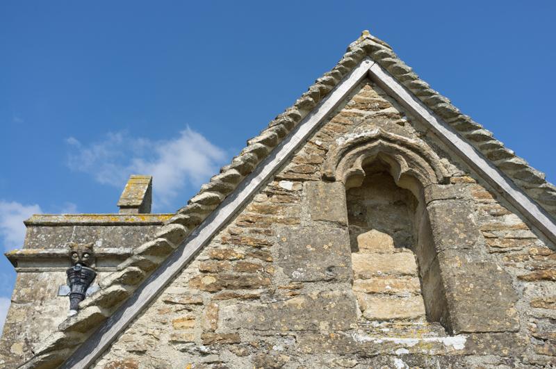
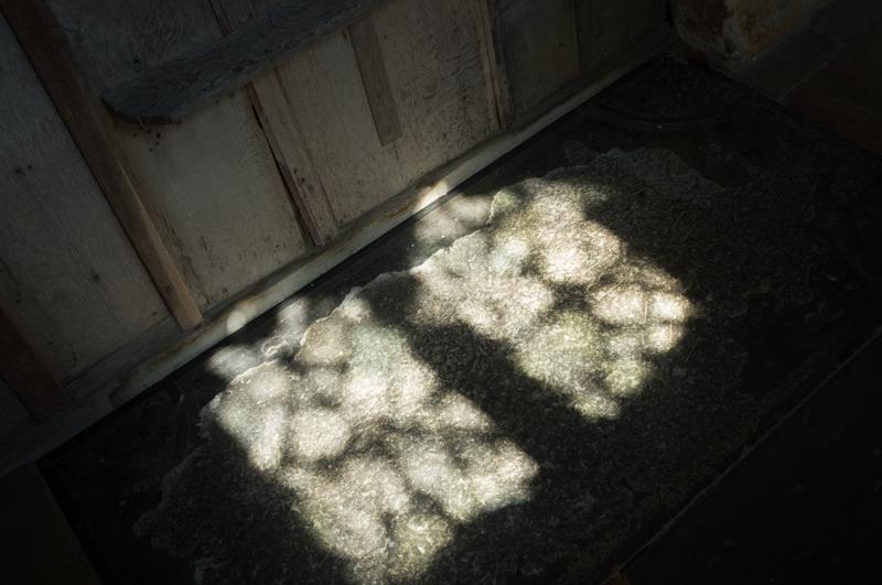
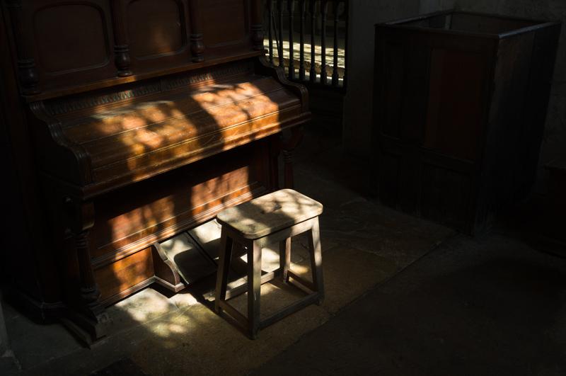
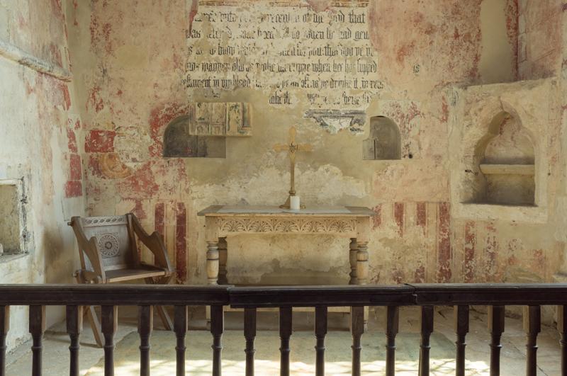
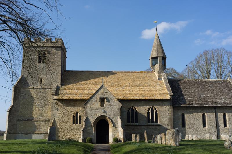
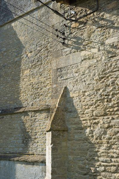
Inglesham church
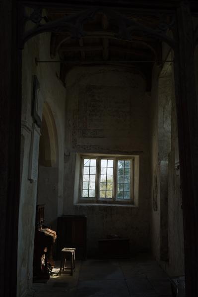
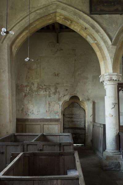
A small church (St. John the Baptist) is no longer used for worship, but still maintained. William Morris led a campaign to save it from Victorian modernisation, and it does indeed feel reassuringly old.
Thames Path to Castle Eaton
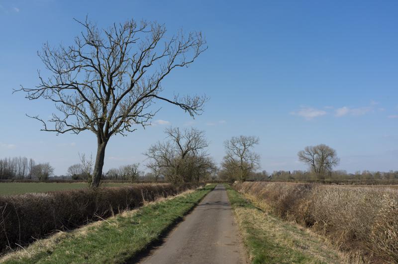
After this the Thames Path runs for a mile along a major road. There's a wide grass verge so this is quite safe, despite alarming notices at each end advising walkers to call for a taxi. It is a bit tedious, though, and slightly uphill.
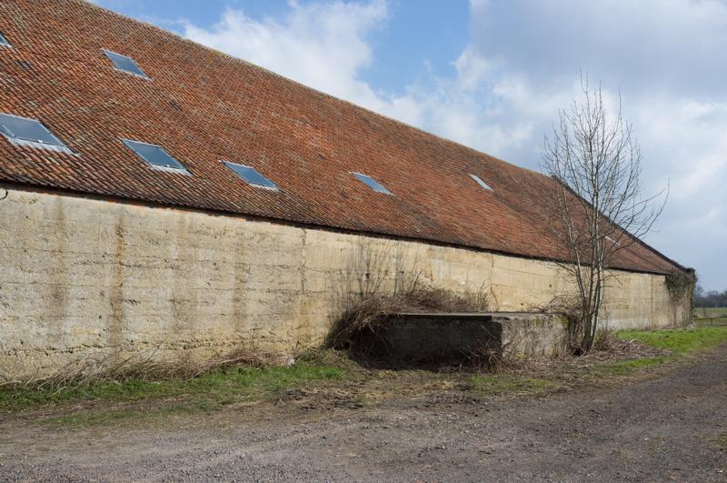
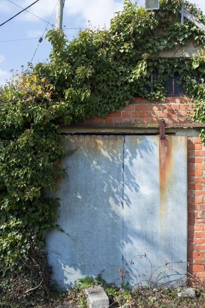
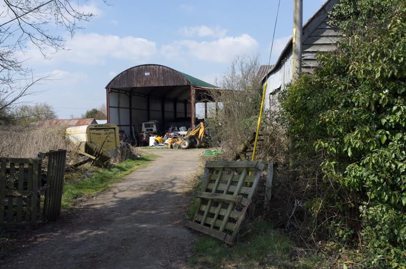
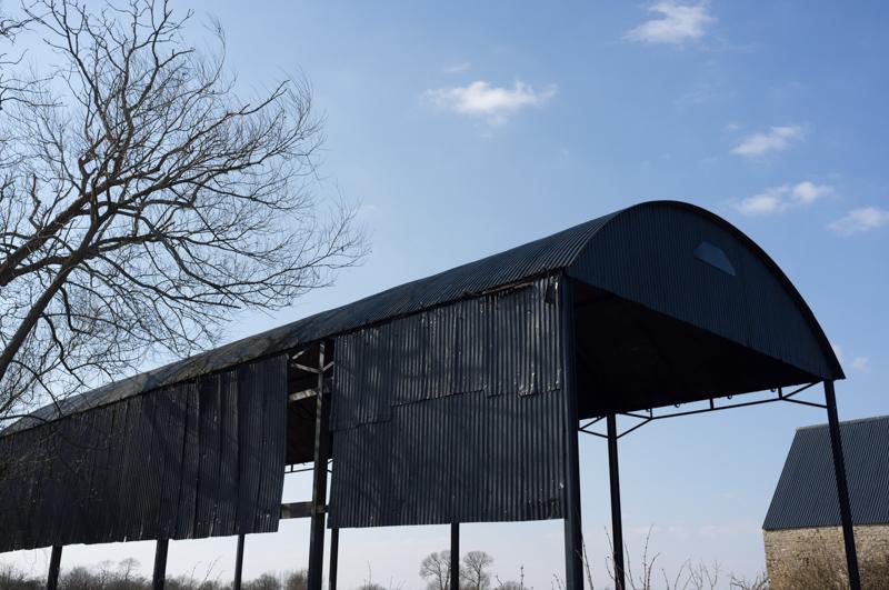
When the path leaves the road, it runs through farmland for some distance.
The path briefly follows the river, then leaves it again and runs along country roads to a place called Castle Eaton.
Castle Eaton
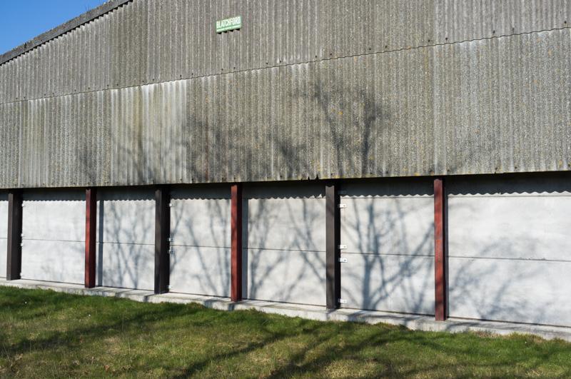
Castle Eaton consists largely of a modern suburban-style housing estate. When we visited, almost everybody seemed to be getting their roofs mended.
Thames Path to Cricklade
From Castle Eaton the path runs beside the actual river again, all the way to Cricklade.
In Cricklade, we stayed in the White Hart Hotel, once we managed to find it. (There's a large sign with a map of the town, which is helpfully positioned the wrong way around. At least that's my excuse for walking in the opposite direction down the high street.)
(End of day two.)