Introduction
The official Thames Path ended at the Thames Barrier, which is where we finished a recent walk. However, there's an 'extension' - it's not an official national trail and it has a different logo, but basically, the path continues to be signposted up to Crayford Ness, where the River Darent blocks further progress.
So what could be nicer for an Easter Monday walk?
Dad came with us - there's something wrong with his foot and he wanted to go see a demonstration of some kind later on, so he brought his folding bike instead of actually walking, and left us part way through.
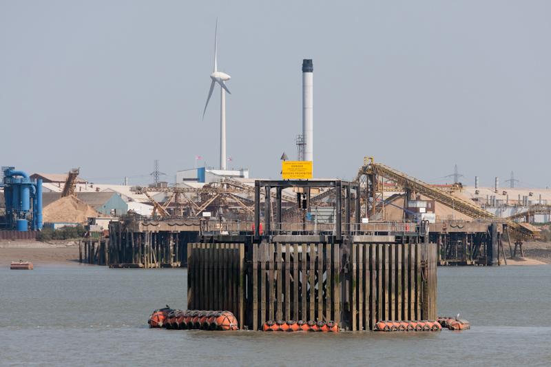
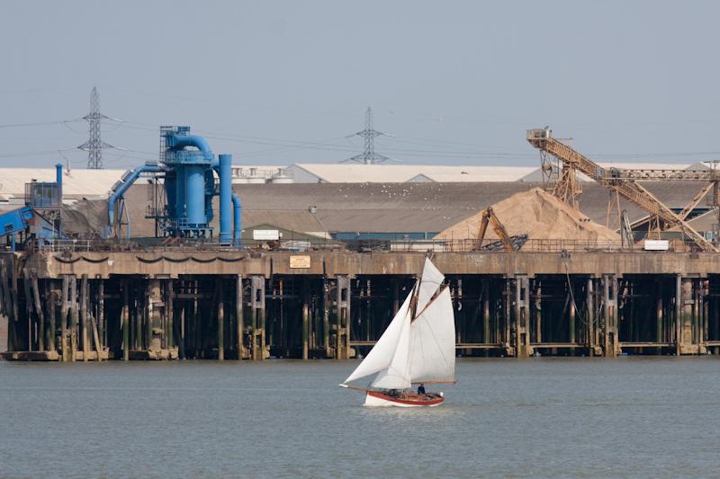
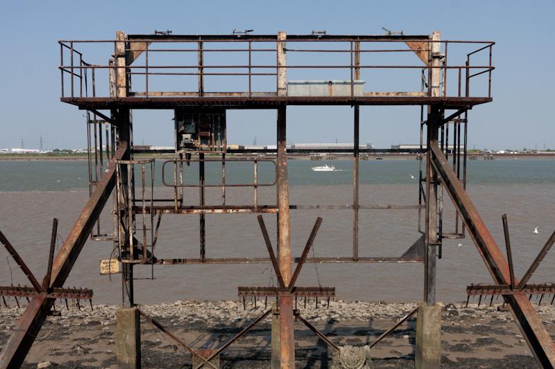
The surprising theme of this walk is that we managed to find many industrial operations that are actually still functional. I think this is the only part of the Thames Path where that's true.
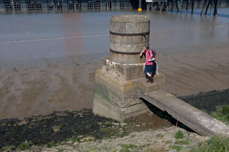
Note: I took a large number of pictures and selected a really small proportion, so there are lots of things mentioned in the text this time that don't have a picture.
Charlton
From the station there's a fairly long boring walk along the main road, because we first needed to get back to where the path was, then that path also follows the main road for a little while until it can return to the river. However, it didn't seem as long (to me at least) as it had done in the dark.
On reaching the river we passed a pair of interesting old docks (now blocked up) that looked kind of like swimming pools. Very odd. (But I didn't like my pictures of this, so no picture.)
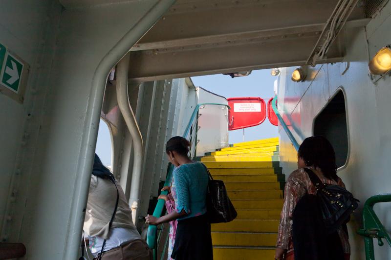
Woolwich Ferry
By a strange historical quirk, Woolwich has a free passenger ferry. There are two ferry boats; they swap sides across the river all day, carrying road traffic and pedestrians, for free.
We didn't need to be on the other side of the river, but given the chance of a free ferry ride (well, two free ferry rides), it seemed churlish to pass it up.
On the other side, there used to be a railway museum in a disused station building, which we thought we'd have a look at. The building's still there but it's boarded up. Next, there's a foot tunnel under the Thames (apparently built because workers got fined if they were late to work because fog delayed the ferry). This is still there but it's boarded up. Hopefully not a pattern: unlike the museum, there are vague signs that the foot tunnel might reopen some year.
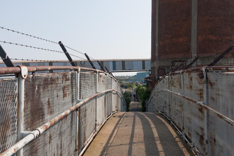
Thames Path to Erith
After the return ferry trip we continued eastward on the path, which remained riverside. The first part was by the massive Woolwich Arsenal site, which has been converted into housing.
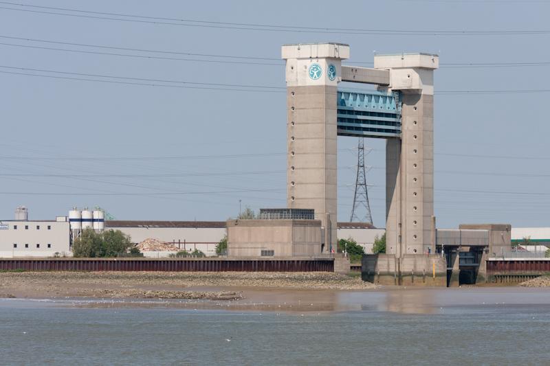
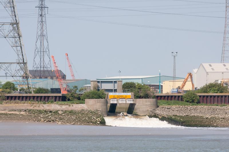
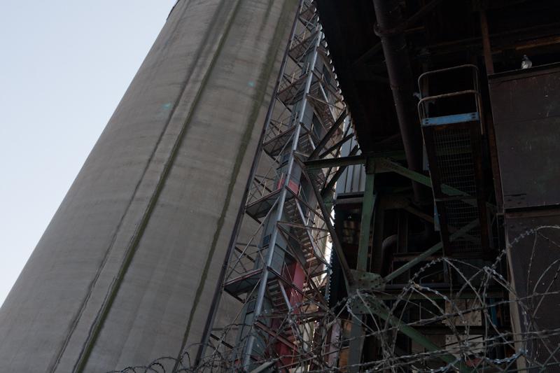
Later on we passed a massive sewage farm and a similarly massive new waste incinerator next to it. Good times.
I think it's about here that Dad left us, cycling to the nearest station.
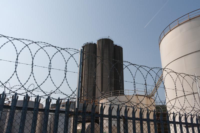
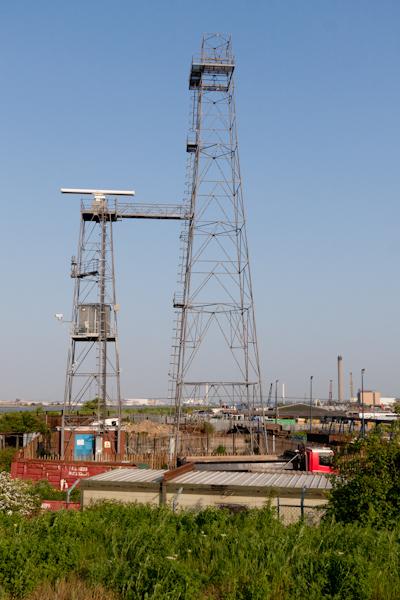
Nearing Erith, we passed a large complex which, I think, used to be the British Oil and Cake Mills. (Not that kind of cake.) (Insert meme here.) It's apparently the largest rapeseed oil plant in the UK and is still working, but is now owned by evil agriconglomerate Archer Daniels Midland. That makes it, I suppose, the American Oil and Cake Mills, although it just says ADM on the side.
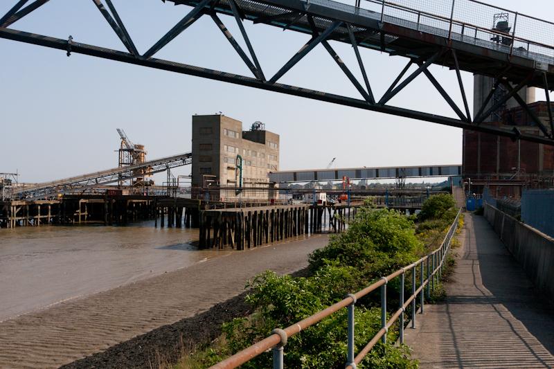
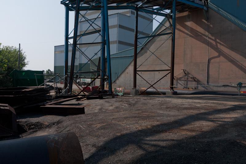
That was followed by a large new Conway asphalt plant. According to some information on the internet they were considering using river transport, and there does seem to have been some recent activity on their jetty.
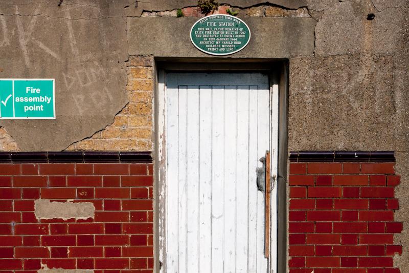
Erith
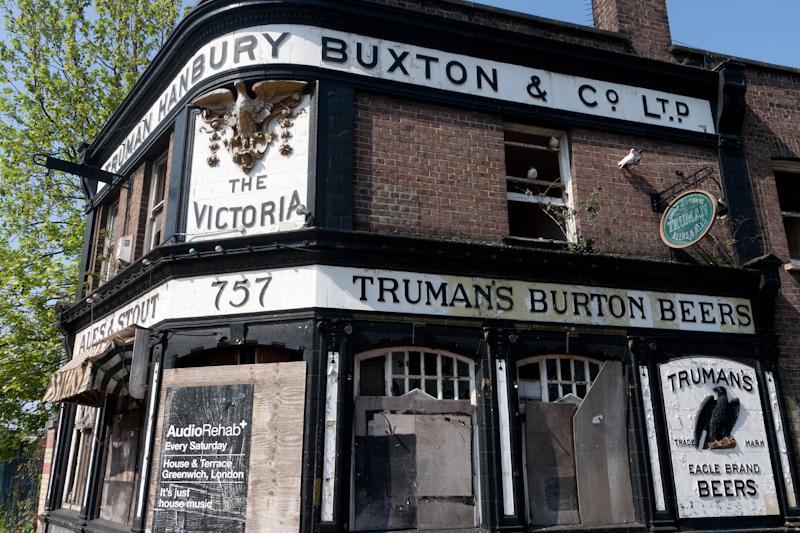
Erith town itself appears to be a bit of a hole. The historic town walk sign indicates a fancy-looking pub building which is now, of course, boarded up, and a range of 'used to be' places.
We did find an open café, which was appreciated. Afterward, somebody stopped us to ask the way to McDonalds. That's how good it gets.
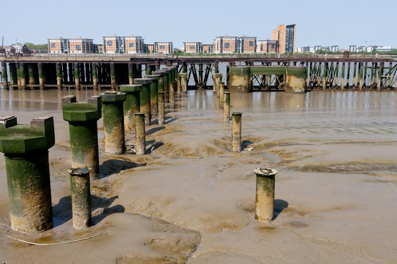
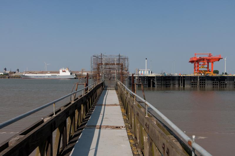
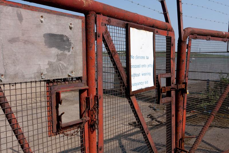
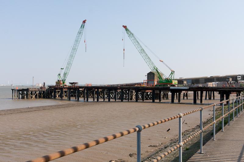
To be fair, it does have a large surviving jetty from Erith Deep Wharf which is actually maintained so that you can walk all the way out on it (we did). To be less fair, this is because the rest of the wharf site is now a Morrisons.
Out to Crayford Ness
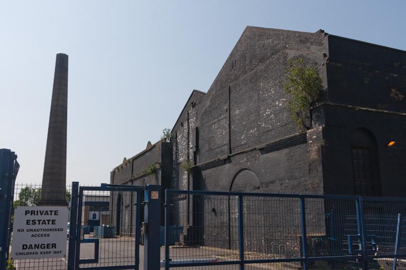
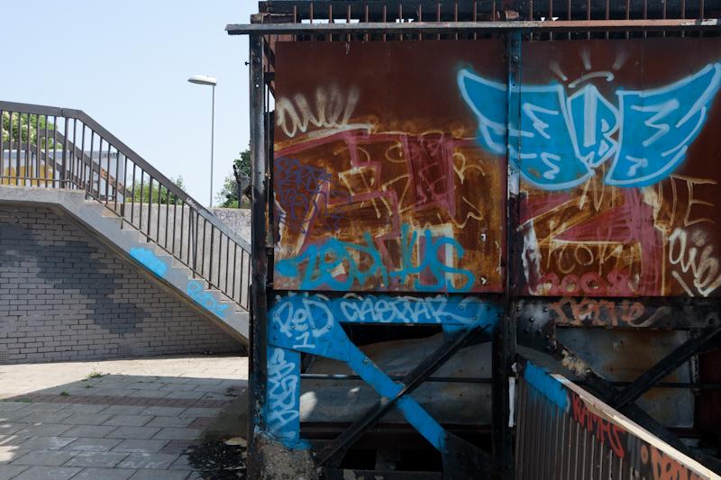
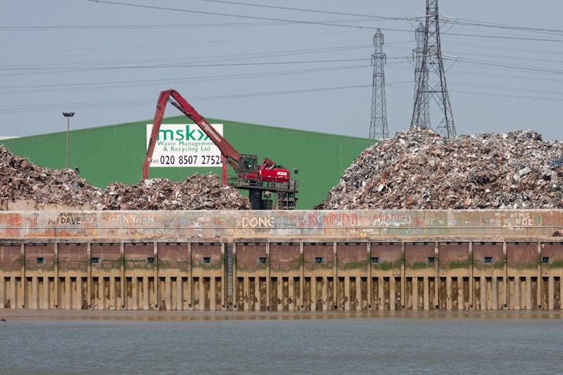
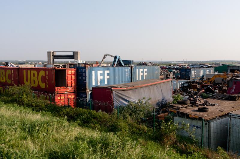
Leaving Erith, we passed another boarded-up pub, car breakers, and a paper recycling plant. So things were looking up.
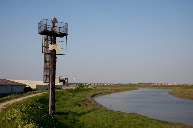
The path goes along the access road to the yacht club (yes, really) and then runs along the flood-protection causeway all the way to where the River Darent joins the Thames at Crayford Ness. In that area there's a small industrial estate.
Crayford Ness is the really-real end of the path, unless you fancy a swim. Having reached it we continued along the Darent, aiming for the railway station at Slade Green.
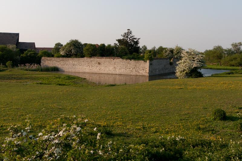
By the path to Slade Green, the OS map marked a 'Moat'. Usually when they do that kind of thing in their historic font it is rubbish, like half a ditch that hasn't seen water for the last eight hundred years. This time...
So that was a nice end to the walk. We reached Slade Green station shortly after and got a train back.