Introduction
Mum and I walked from Tower Bridge along the north bank to the Greenwich foot tunnel, then to the south bank and on as far as the Thames Barrier.
This was an afternoon walk after a light lunch at a new café that a friend of the family is opening. So we didn't start until well after 2pm.
North bank
Because we were on the Jubilee line, rather than change trains we actually walked from London Bridge tube to Tower Bridge and across to start the walk.
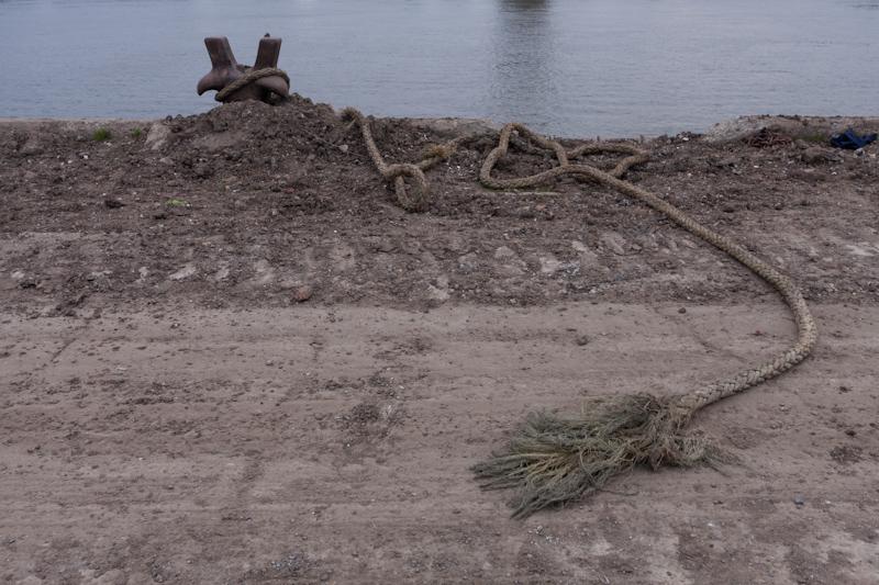
After passing by St Katharine's Dock, the Thames Path then attempts to follow the riverbank, much of which is split into gated sections that are locked at night.
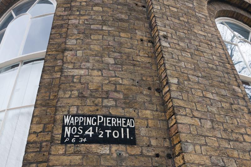
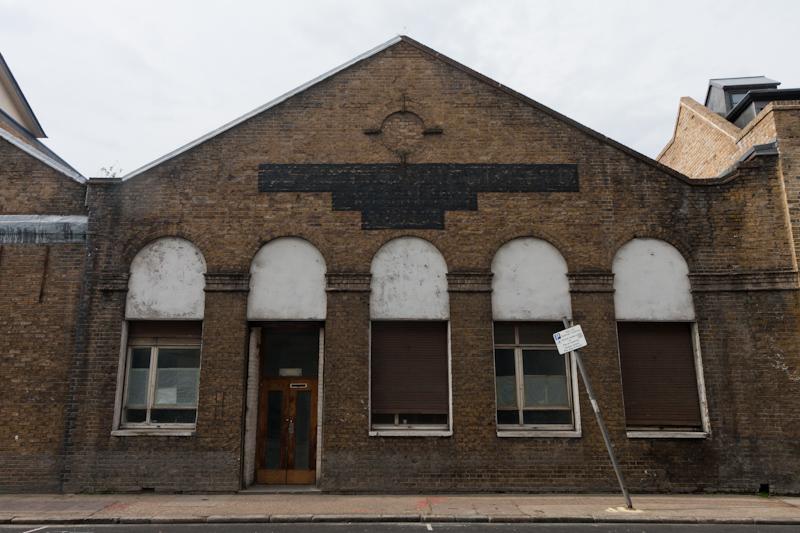
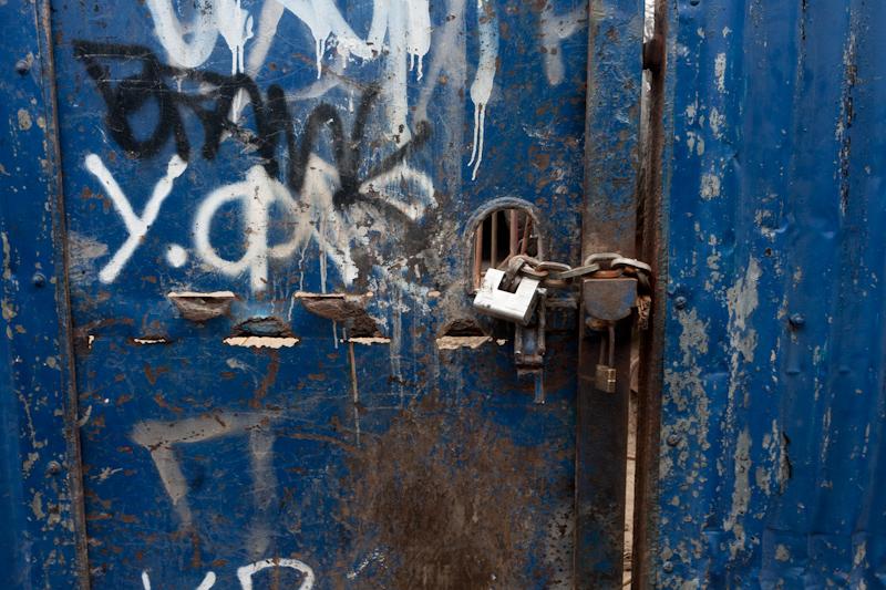
Sometimes there is no riverbank access at all; the route follows Wapping High Street, which is not very much like a high street as there are basically no shops. To be fair, it is in Wapping, so that makes the name 50% accurate.
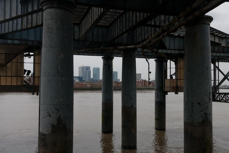
After crossing another ex-dock entrance on a large red bridge that matched the one we had seen on the south bank, we walked through a riverside park and past the other airshaft to the Rotherhithe Tunnel.
The riverbank path gave out again after more housing, decanting us into Narrow Street, which isn't especially narrow. It probably also isn't named after narrowboats, even though it does cross the entrance to Limehouse Basin (the link between the Thames and the Regent's Canal).
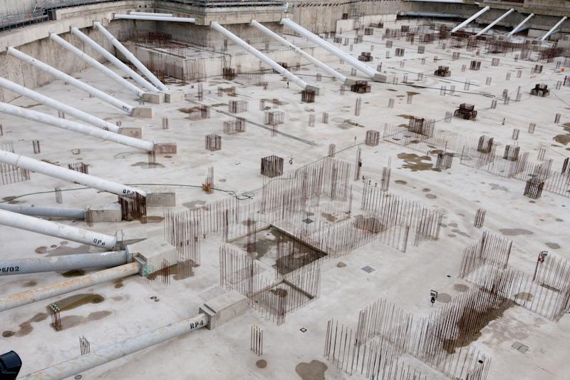
Then we were able to access the river again, but not for long; in the first annoying diversion of the day, we had to take a long side-track around a building that was under construction.
On the plus side, we did get a good view of a sculpture in the middle of a roundabout; somebody's made a tree out of dozens of traffic lights, all of which are continuously changing.
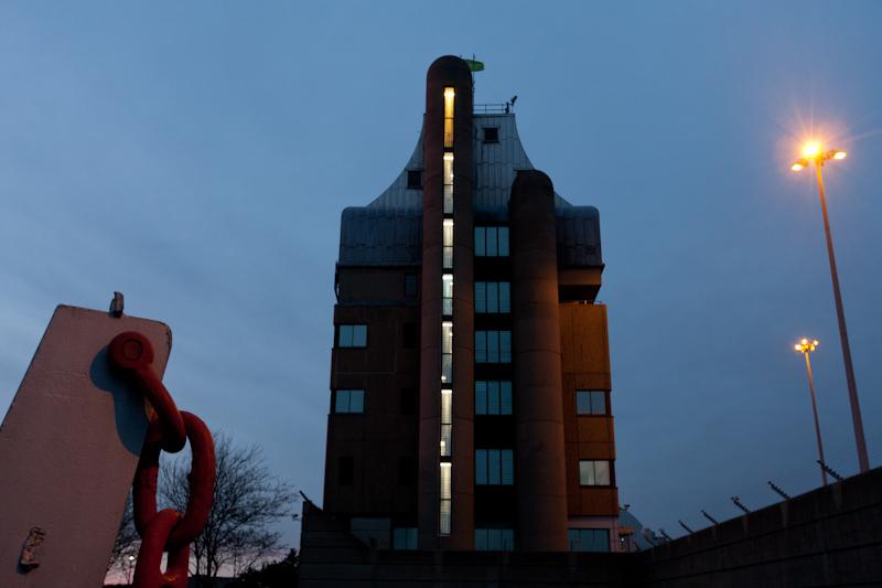
Back to the riverbank; more boring housing, a park, still more boring housing, then onto Westferry Road. Mum stopped to look inside a fancily decorated ex-chapel (now some kind of a theatre). Some distance later, we reached Island Gardens and the riverside park which contains the Thames foot tunnel entrance. Oddly, at this point we heard a bagpiper from the opposite bank, possibly near the Trafalgar pub.
The tunnel entrances are swathed in scaffolding and the steps down are boarded on all sides to make a narrow, claustrophobic spiral; it's being restored, but is still open. At the bottom, the actual tunnel is as dingy as usual. We emerged in Greenwich, which was packed with tourists.
South bank
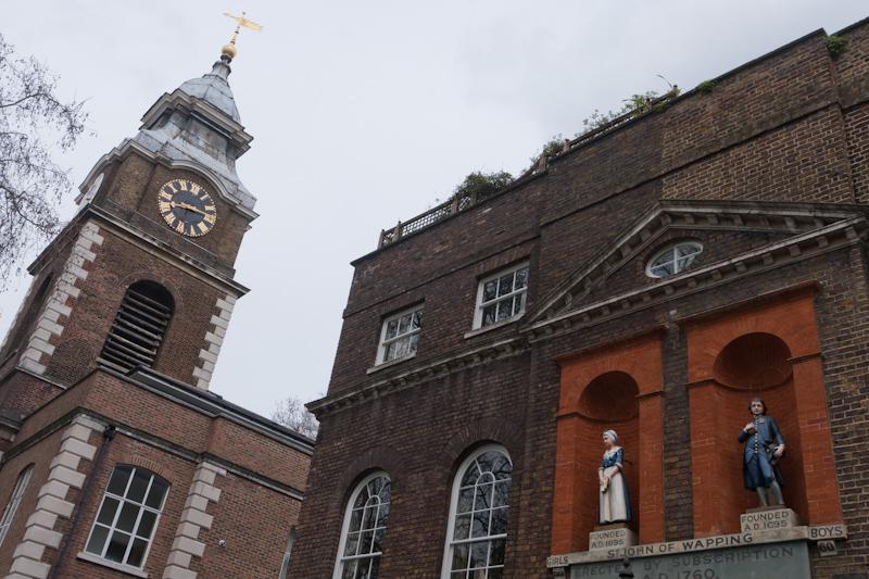
We had a look at St Alfege's church (it's huge) then set off eastward through the ex-Royal Naval College grounds and back to the river past the Trafalgar (no sign of piper; they do have a Nelson statue, though).
At this point, the guidebook promised much of interest... some of which actually still remained.
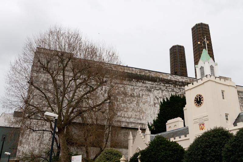
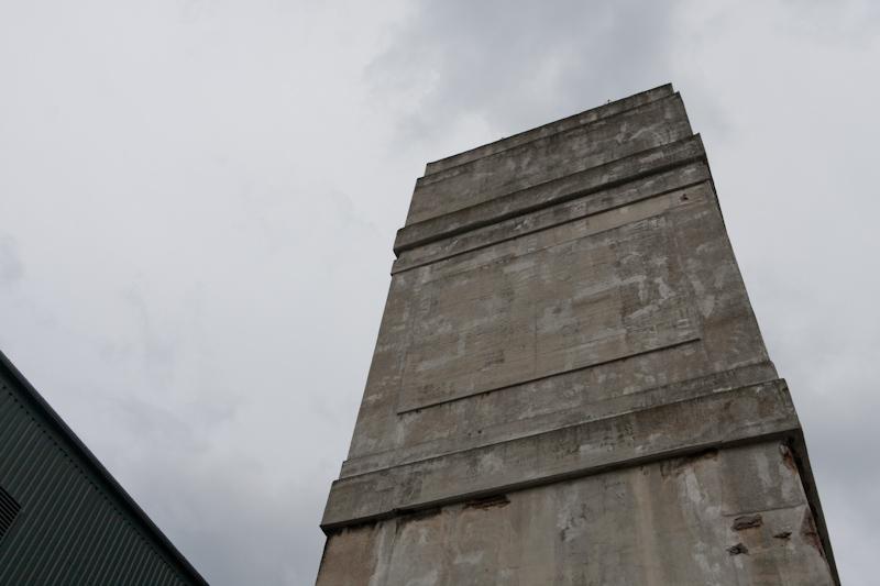
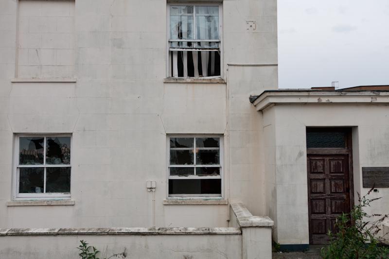
Wikipedia claims the power station is still available as a backup generator for the London Underground, which is hard to believe.
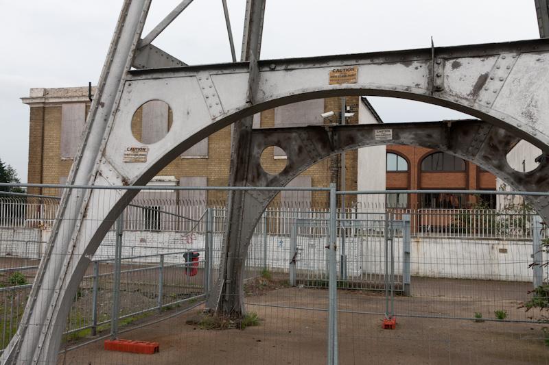
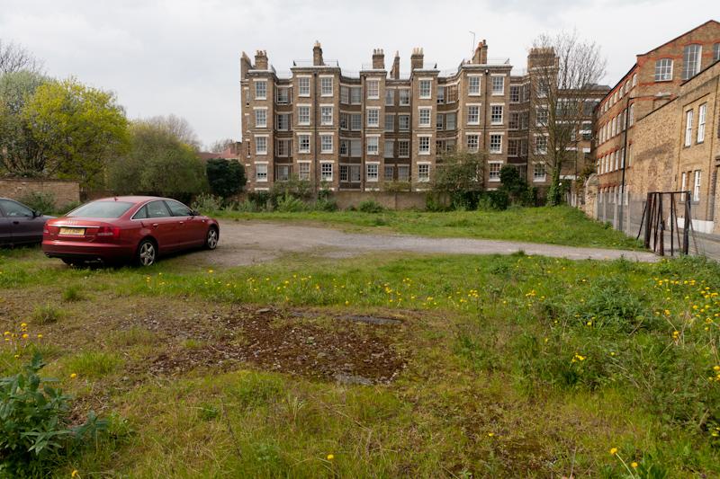
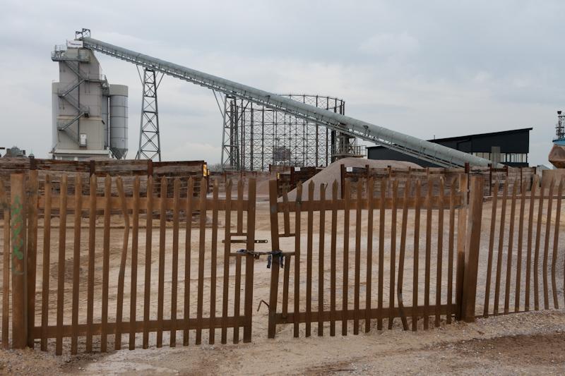
Several other businesses in the area have been flattened recently. The largest, a refinery that milled grain into starch and then produced glucose syrup, appears to have been working a few years back; it was only demolished last year.
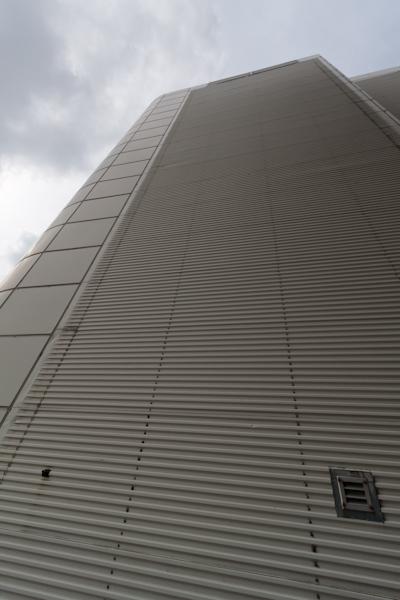
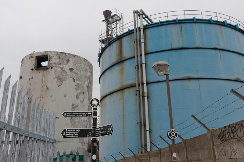
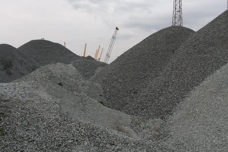
Apart from empty, bare ground, the area between here and the Dome is mostly occupied by large yards storing sand and gravel, and associated works.
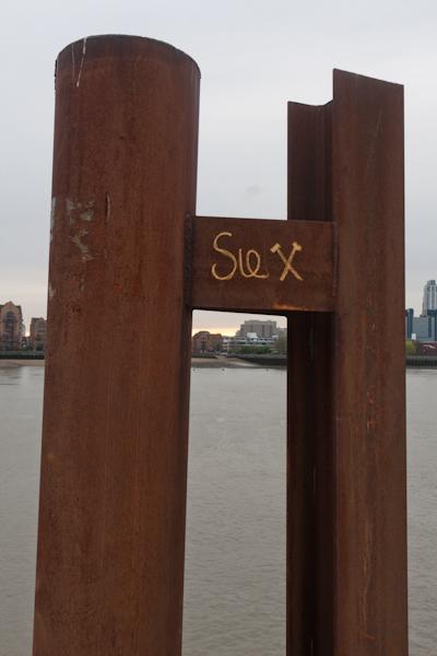
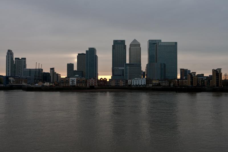
The area by the Dome (which is called something else now but whatever) has a couple of interesting sculptures (slice sawn out of a boat, an Anthony Gormley explodey-steel-bars thing). We passed a small crowd who had just arrived by the riverboat service to attend whatever event was happening that evening.
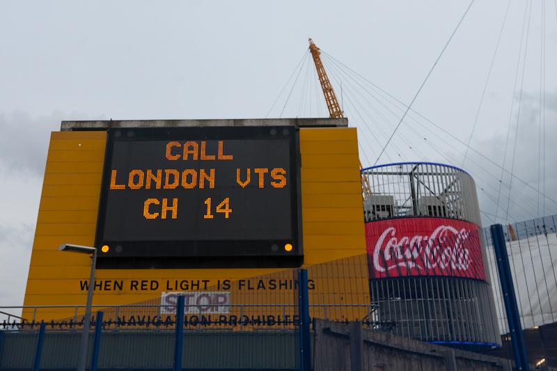
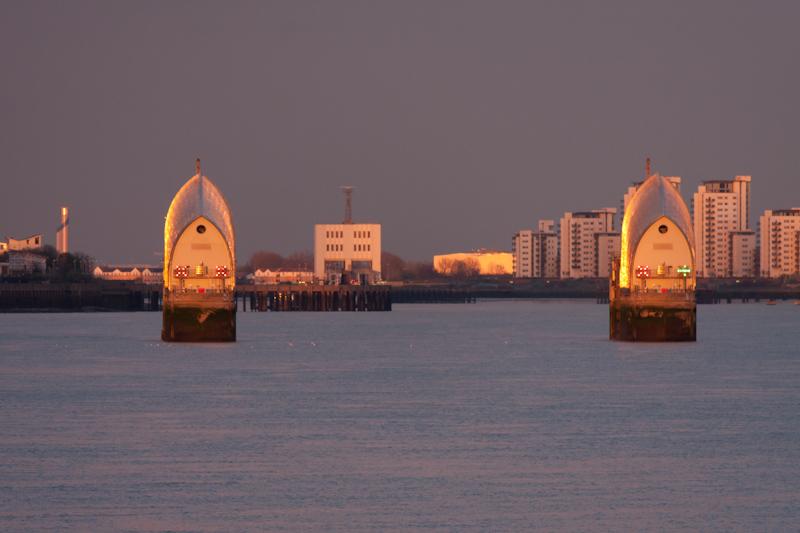
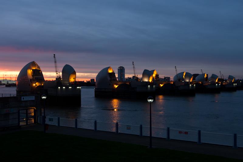
Our destination was the Thames Barrier (a flood barrier). Finally it came into view for the first time.
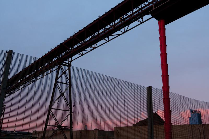
Before we actually reached the barrier, more cementworks were in prospect.
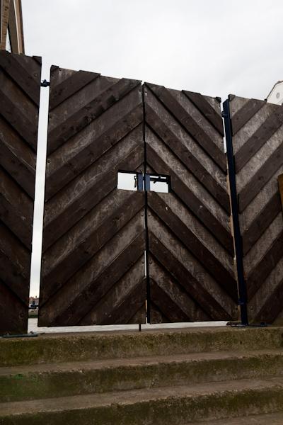
The second annoying detour took us around three sides of a gigantic square, only some of which is so far occupied by huge blocks of flats. Hoardings blocking the normal path said the diversion would be in place only until the preceding day... Anyway, after that we had basically reached the barrier.
It was getting dark, so a good time to finish the walk, even though the 'Thames Path Extension' continues... maybe another day. We walked back to the main road and Charlton station.