Introduction
Between Christmas and New Year, there were problems on various railway lines due to earlier flooding, as well as continuing high water levels on most rivers. We (myself and my parents) thought it might make sense on both counts to walk to a local hill. St. Ann’s Hill is in Chertsey and I don’t recall going there before.
We started by crossing the Thames (which wasn’t actually overflowing) at Staines Bridge, then walking a little way down the main road on the other side before turning off into a residential area.
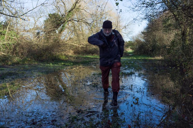
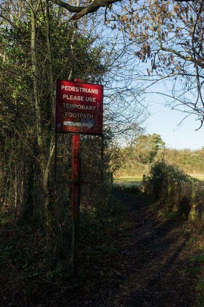
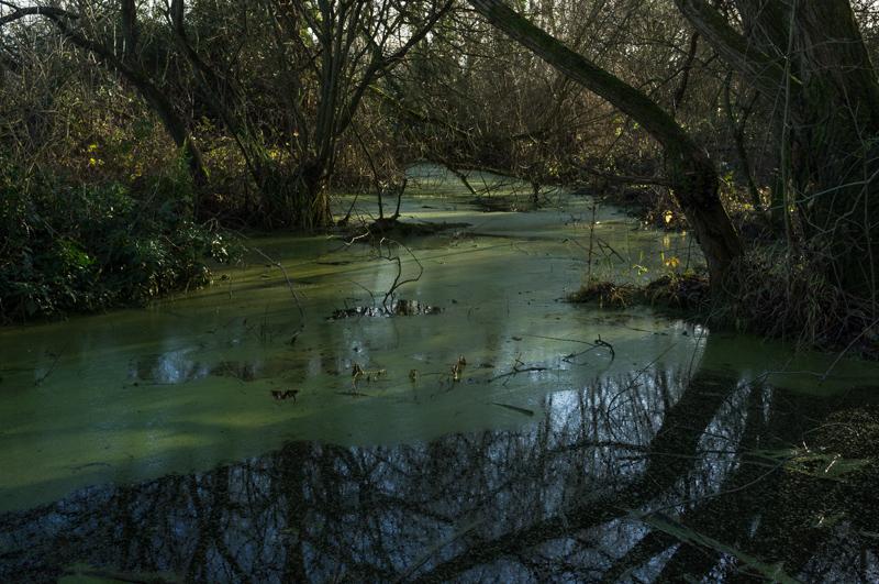
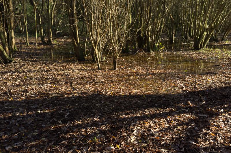
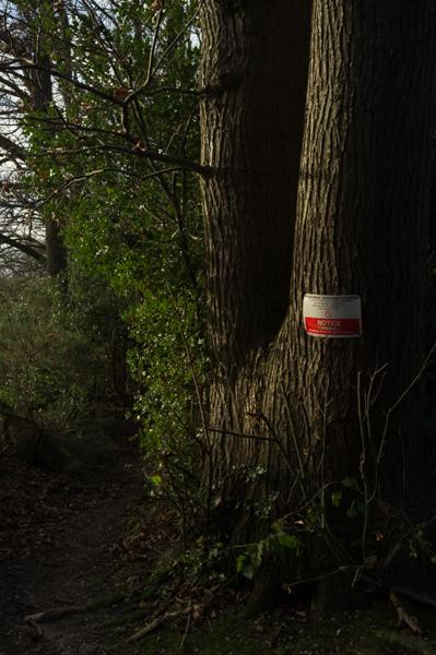
A public footpath runs behind the houses and schools. Though we were walking away from the river in our effort to avoid flooding, it turned out that we had chosen a slightly damp route. We did have to almost wade at a few points, although my feet stayed largely dry.
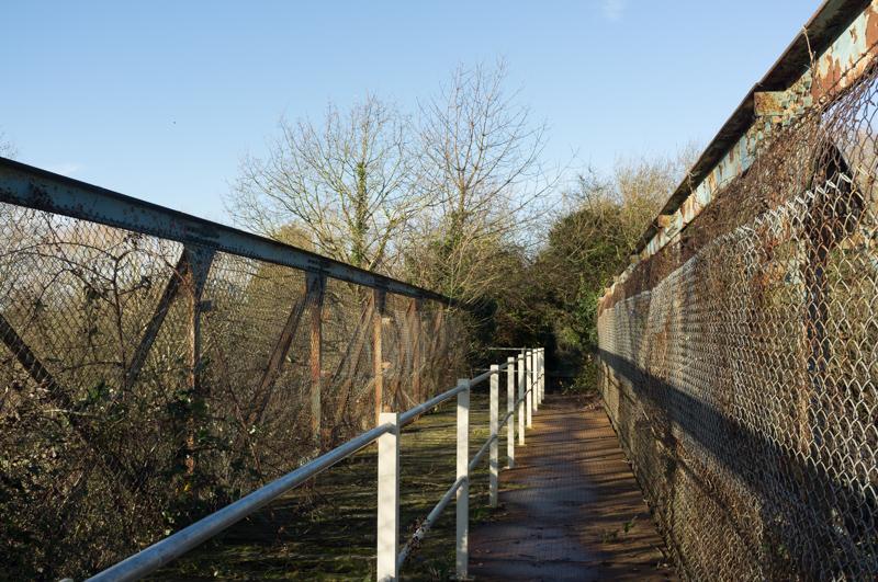
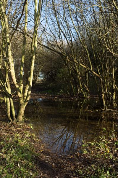
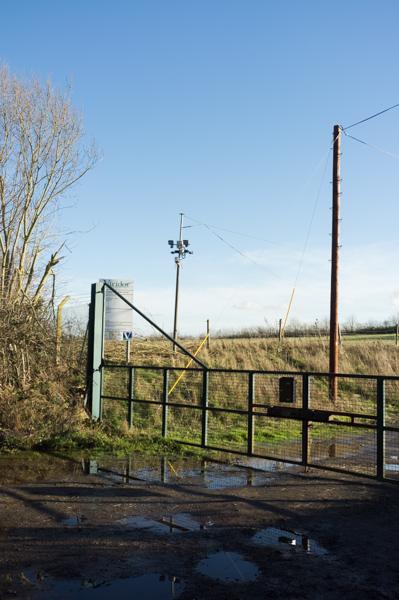
The route runs across an area of previous gravel extraction, part of which is now a small lake while the other part has been filled in and returned to farmland. A bridge carries the footpath between the two parts of the site, which is slightly pointless now as the land below it has been filled in and it's probably only half a metre above grass. Since our last visit they have installed metal plating over the rotting wooden boards and put up a handrail, making it substantially less entertaining. For comparison, I took a similar picture of it on that previous visit (near bottom of the page).
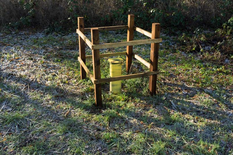
There's then a field which is supposedly a wild flower meadow and impressively colourful – in spring. We’ve never visited it in spring, so it’s just a field. But it does have yellow plastic pipes sticking out of the ground now.
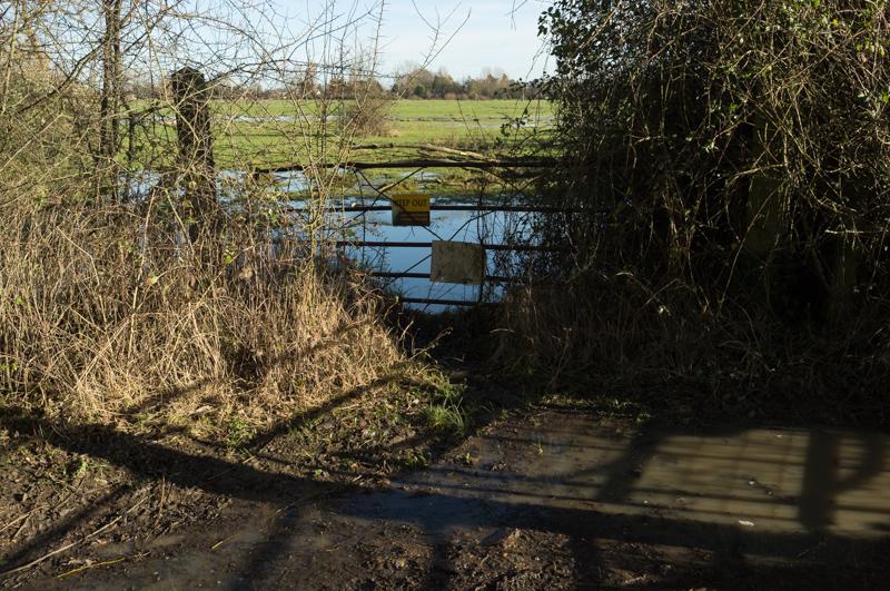
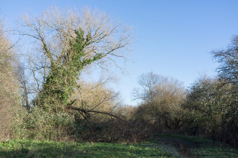
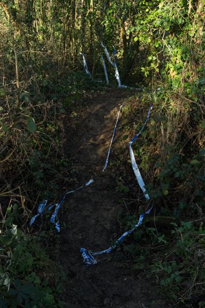
After the field, a rather more modest bridge crosses a stream and the path runs into an area of waste ground, eventually reaching Green Lane.
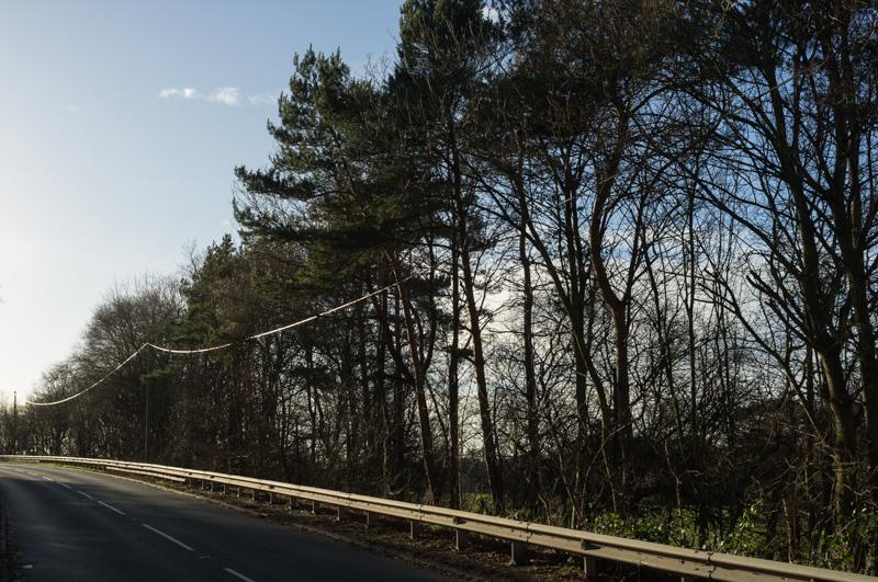
Green Lane runs toward Thorpe village with some light industry and a closed landfill site.
From Green Lane we followed other (presumably less green) lanes into Thorpe.
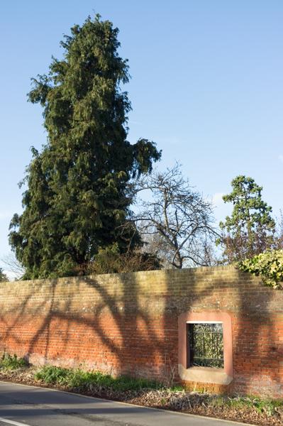
After sitting on a bench in the churchyard to eat our sandwiches, we continued with the next, especially picturesque section of the walk. Thorpe to St. Ann’s Hill is a short distance in a straight line, but that line is somewhat interrupted by two motorways crossing each other at this point, beside a large sewage works.
A footbridge (mainly used for the farm) took us back across the M25, and then a narrow fieldside path led to St. Ann’s Hill itself. This path was slightly challenging; although short, it had been lined with small trees, nearly all of which appeared to have fallen over. We had to scramble over or under branches for pretty much the entire distance.
Then we were on the official path toward the hilltop.
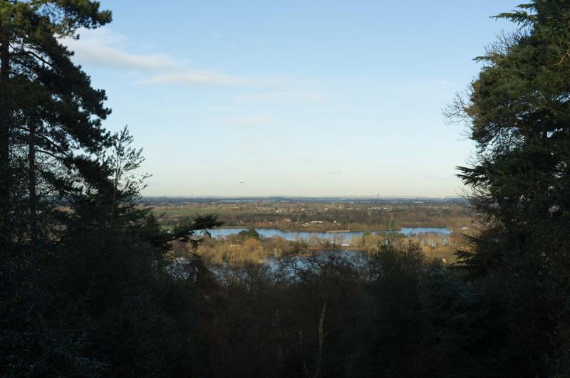
There is supposed to be a ruined chapel on the hill, but we did not find it; reading between the lines of an information sign at the car park, I think there’s nothing actually there except a few lumps in the ground. Anyway, we walked down the hill and into Chertsey proper, from where we got a bus back to Staines.