Introduction
Mum's organising a sponsored walk for charity later this year, so she's testing out the different routes. I went with her to walk one part between Old Windsor and Englefield Green; then we extended it to return to Staines via Thorpe.
We started by getting a bus to Old Windsor.
Old Windsor
From the imaginatively-named Straight Road where the bus stops, we took a footpath to the other main road.
Some buses used to run along this road, too, but not any more.
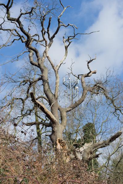
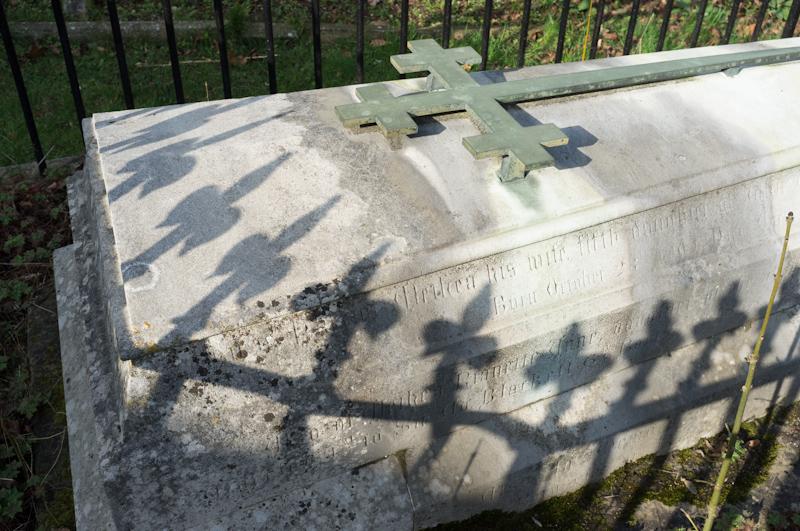
We followed the road south, walked beside the Thames for a bit, then crossed the fields near the Magna Carta memorial, taking a footpath uphill beside the Air Force memorial (plenty of memorials in those parts). There were an awful lot of steps, but we forgot to count them.
At the top, we passed a hall of residence for Royal Holloway College, then followed a footpath behind some houses.
After that we basically followed roads to the Village Centre in Englefield Green.
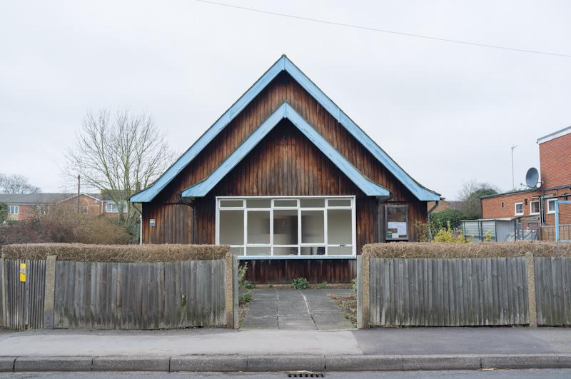
Englefield Green
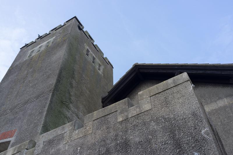
The Village Centre used to be a church, one of several described as 'the ugliest church in Christendom'. On that morning the café was open, so we stopped in. I had a cold drink and a very nice piece of cake.
We walked around Englefield Green a bit then down past Royal Holloway and across the railway line.
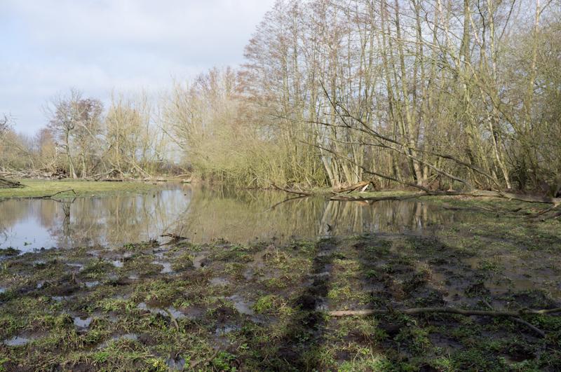
Past the Proctor and Gamble laboratories, we found a public footpath that runs through a field, where we stopped to have lunch.
Nearer its southern end the field got a little damp, but I managed to keep my feet dry (more or less).
After that the path crossed the motorway and took us to the village of Thorpe.
Thorpe
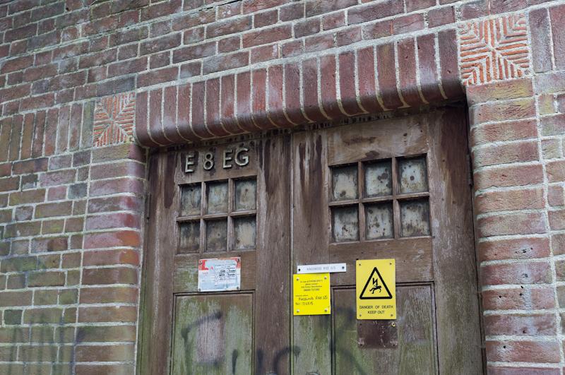
Thorpe does a good line in (similar but inconsistent) antique signage.
We went to have a look at the church, also noticing various parts of TASIS ('the American school in Surrey', a private school for American kids).
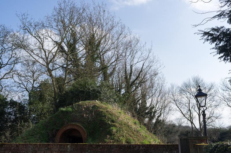
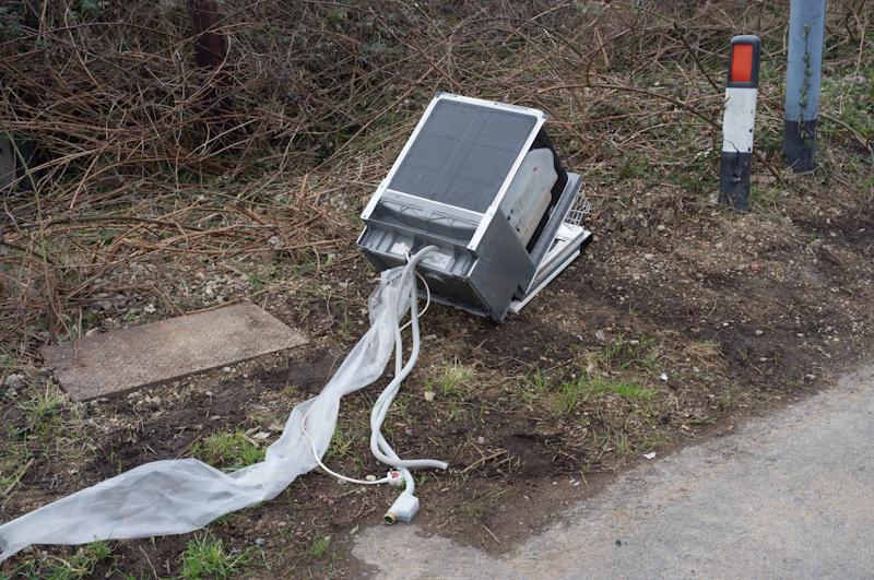
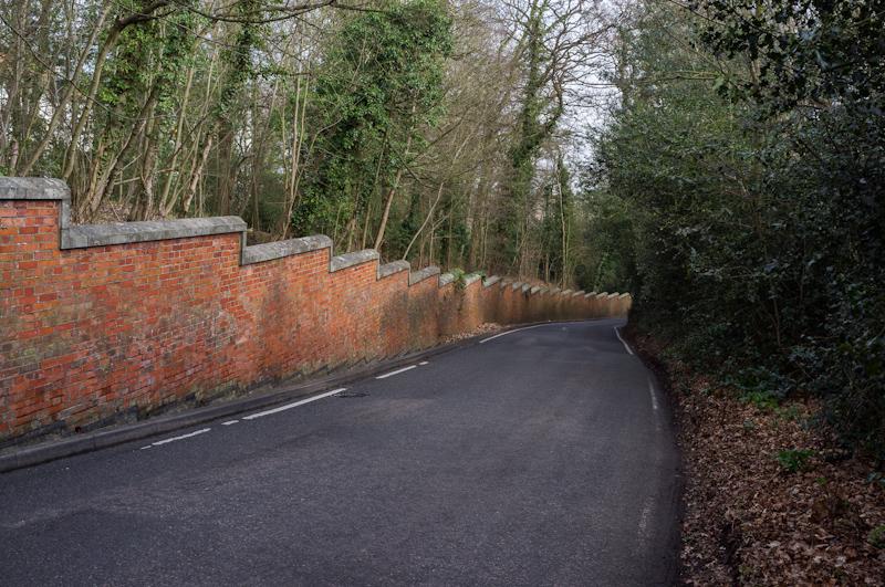
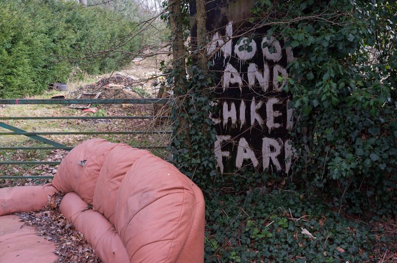
Leaving Thorpe, we took Green Lane back toward Staines. It's called Green Lane because it runs between an industrial estate and the old landfill site. (Okay, that's probably not why.)
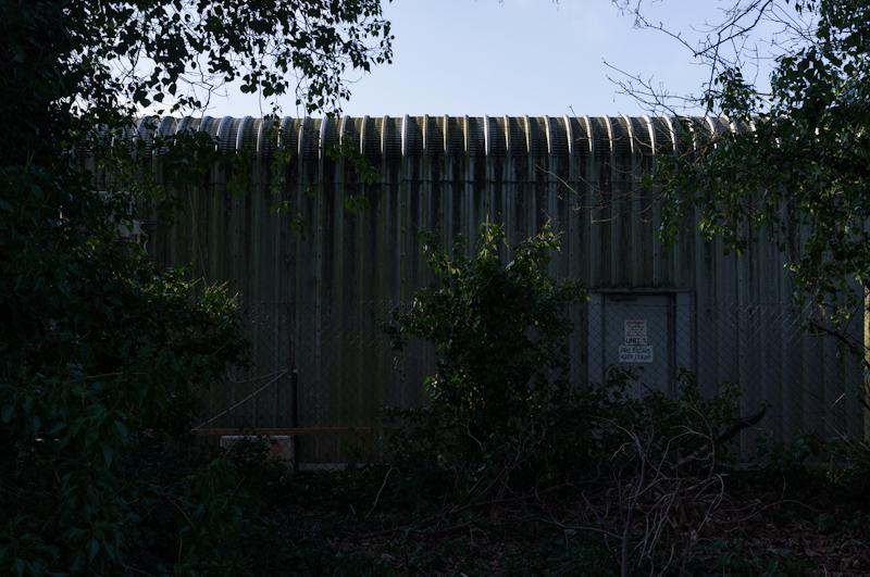
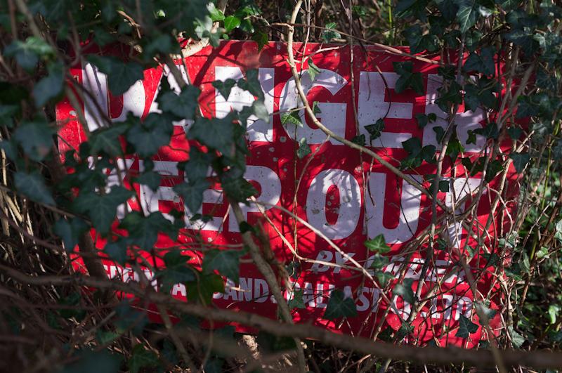
The landfill has been covered over now. We passed the gate to a small power station that burns methane from it, but the actual power station isn't visible from the road.
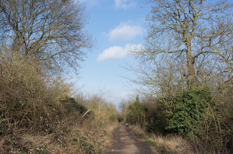
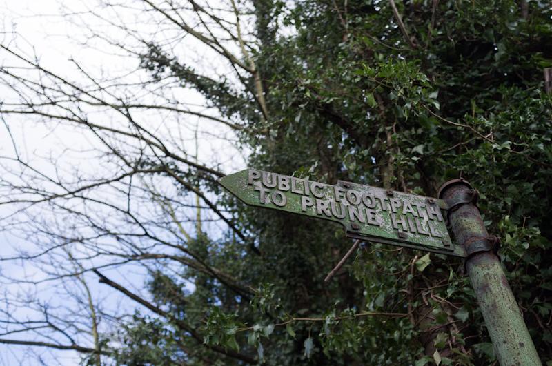
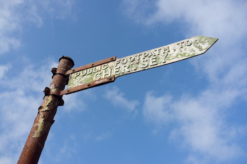
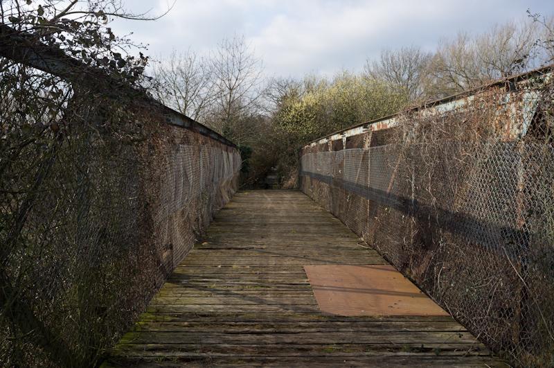
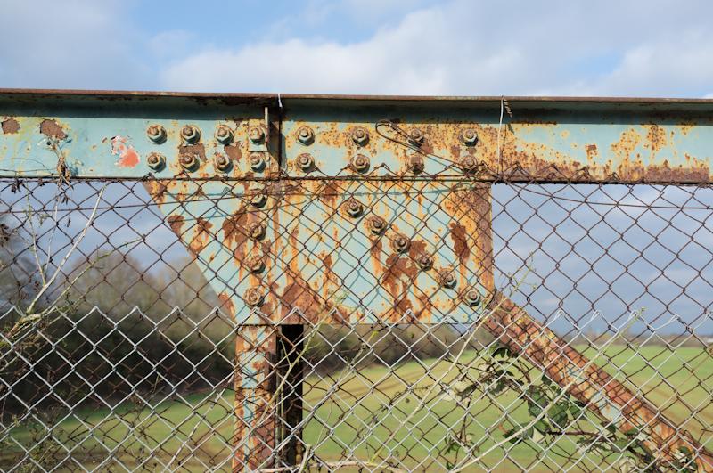
We left Green Lane toward Staines on the same path we'd taken on a previous walk. I took some better-lit repeat versions of a couple of pictures from that.
That's it; we went back to Staines.