Introduction
There's a canal, or what looks like a canal, that runs into the River Thames at Reading. Mum and I decided to walk alongside it as far as Aldermaston, and then get the train back to Reading and home.
It was the last day of 2012 and not the most auspicious for a walk, with heavy rain predicted all afternoon, but that wasn't enough to stop us!
Reading
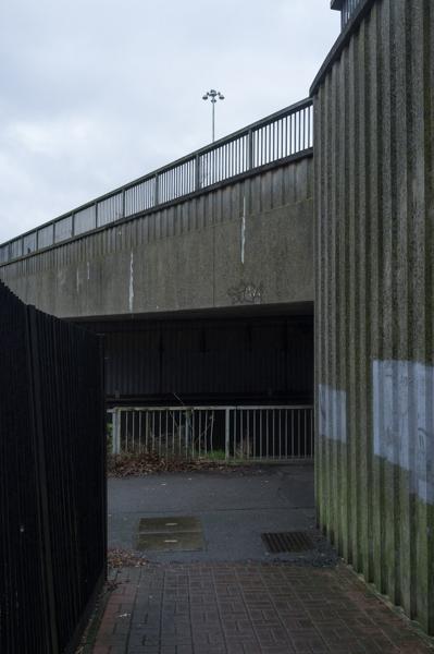
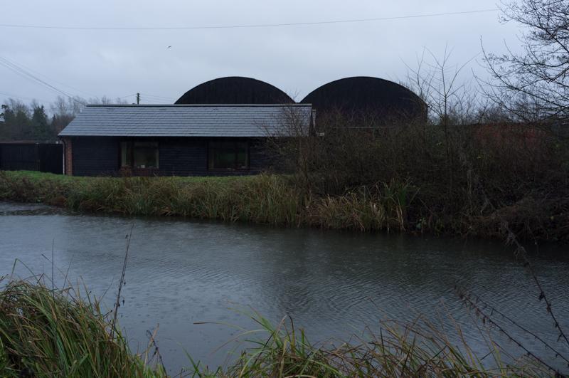
After arriving in Reading, we followed roads toward the east of the city. I'd suggested it would be nice to start at a particular lock near where there used to be a biscuit factory. Some of the maps were a bit unclear (and one of them still showed said biscuit factory), but we managed to find it well enough.
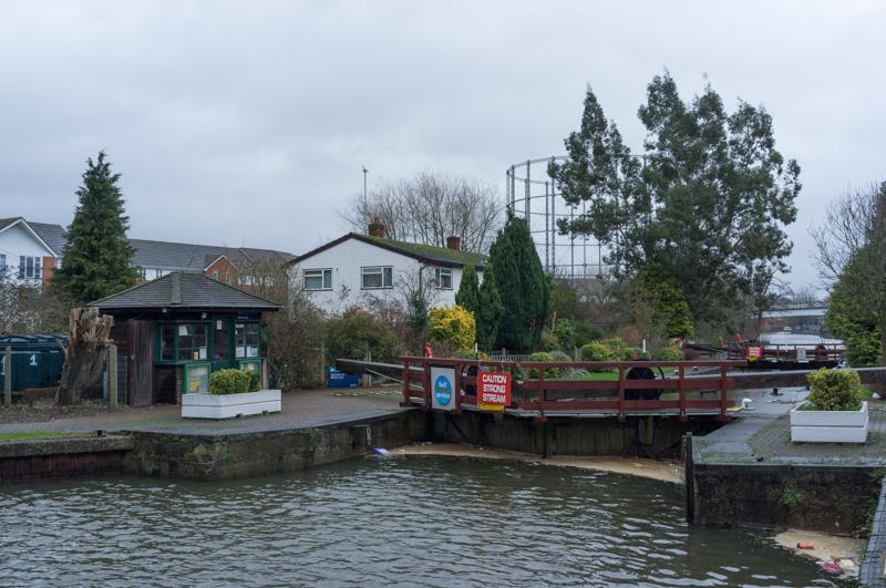
At the time I thought the gasholder was one we passed while walking part of the Thames Path four years previously, but in fact it's a different one.
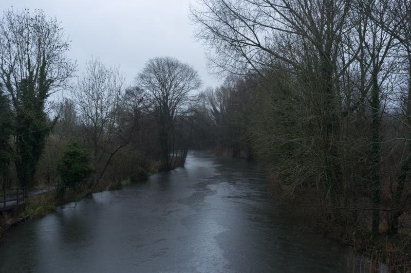
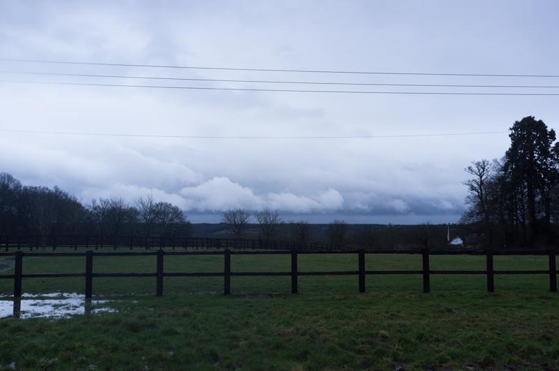
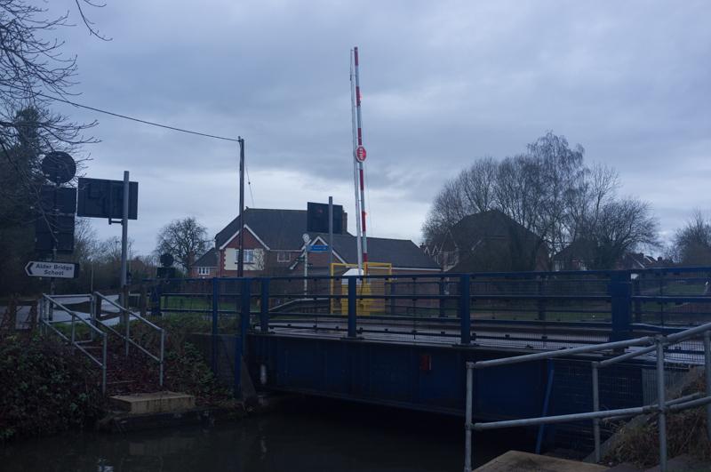
Mindful of the limited daylight, we didn't go all the way to the Thames junction this time. Instead we turned around and followed the canal, which is actually a canalised river. It's the Kennet & Avon canal, and the part near Reading is also the River Kennet.
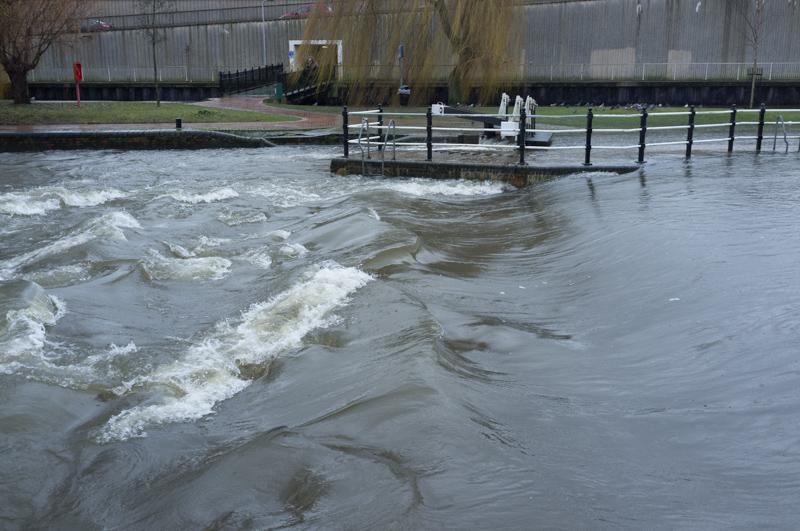
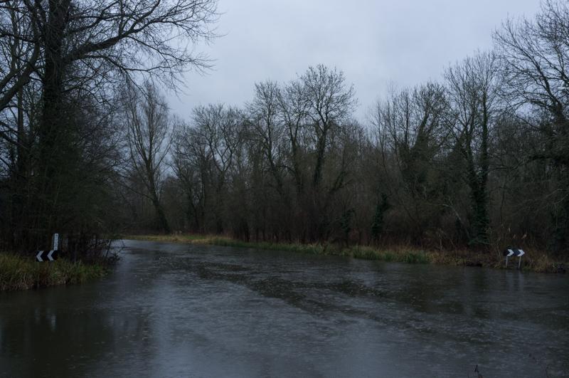
At the next lock in central Reading, we received a clue that the river might be a little above its normal levels.
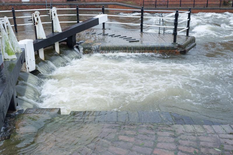
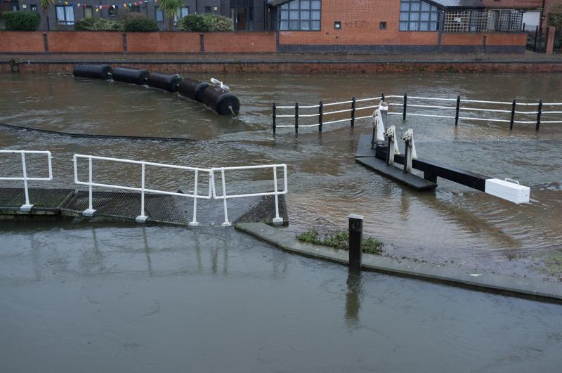
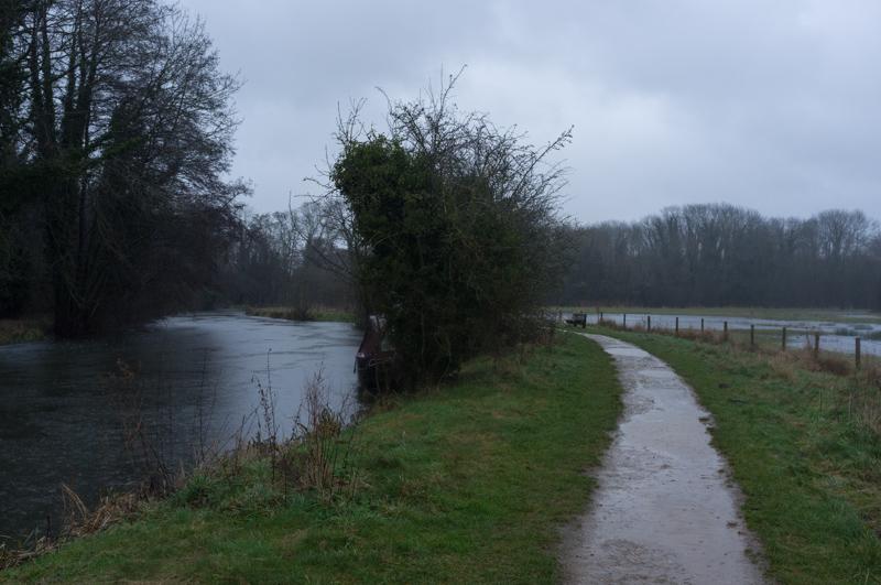
Then we met somebody coming the other way who warned us it was flooded.
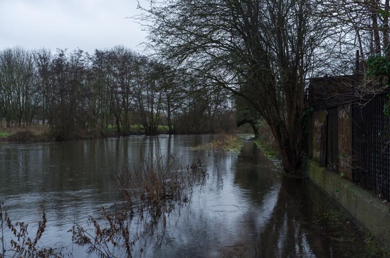
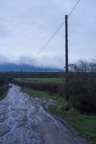
We splashed through one section of flooded towpath to see if it got better, but there was more round the corner (shown above). At this point I was in favour of giving up, but Mum is made of sterner stuff; she waded through the next bit alone and went ahead to see if it got better. It didn't. She came back and we returned to central Reading.
Aldermaston
Since we'd failed to walk to Aldermaston, we decided to take the train there instead and do a circular walk.
Light rain had already started in Reading but it grew heavier as the afternoon progressed.
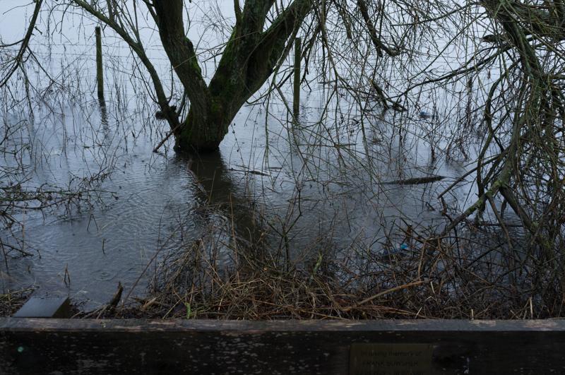
We sat on a bench under a bare tree to eat damp sandwiches for lunch, then continued.
The river approached a small town called Woolhampton (which, not helpfully, has a railway station called Midgham).
We left the canal at Woolhampton and took a road uphill past a large private school to a church. Then we crossed another park and took footpaths across farmland. In one field we were followed rather closely by horses, which was unnerving, but we escaped unharmed.
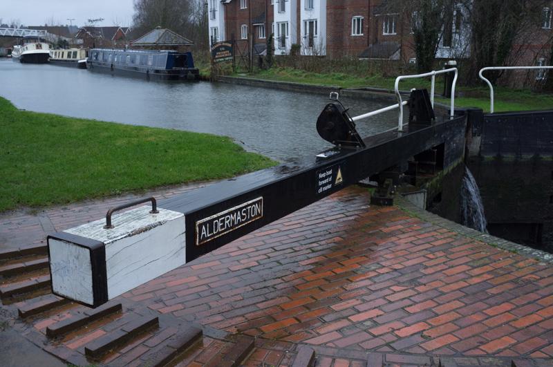
Back in Aldermaston, with time to spare before the train, we had a quick look the other way down the canal at the old wharf.
It was an interesting walk, but a rather damp one! Maybe we can do the Aldermaston to Reading walk, or something similar, another time when it's (a) sunny and (b) not flooded; it looks like a nice canal walk.