Introduction
This is the second half of the photos from a week’s holiday on the Isle of Wight in May. You can also see the first part.
If you looked at the first part when I originally posted it, you missed the last four photos including a nice boat (no, not that one) - I messed up and left them out. Feel free to go back and take another look right at the end of the page. Or not!
Tuesday: Brook Chine to the Needles and Alum Bay
On Tuesday we set off on a bus to a tiny non-place called Brook, from which we planned to walk along the coast path to the Needles - a famous rock formation on the island (that neither of us had really heard of).
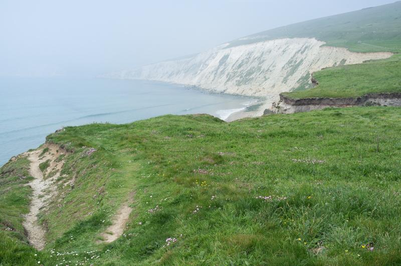
The most notable thing about the first part of the walk for me was a strange haze. It was an amazing day for early May, warm and really sunny almost all of the time, and windy with clear air. But there was a strong haze like mist over everything in the distance. It actually freaked me out slightly because I don’t remember ever seeing weather like that before.

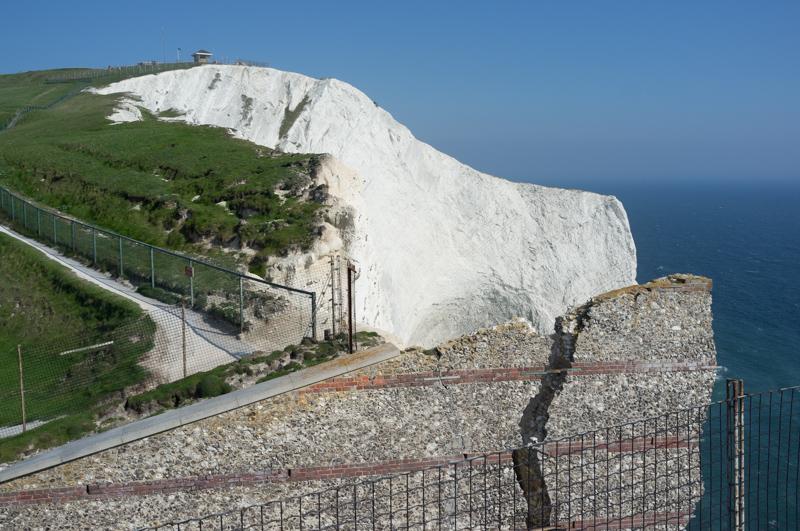
Shortly the geology changed; the cliffs switched from clay to white chalk.
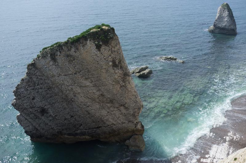
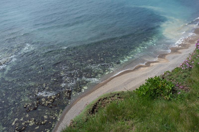
We continued for quite some distance to a town (and bay) called Freshwater Bay.
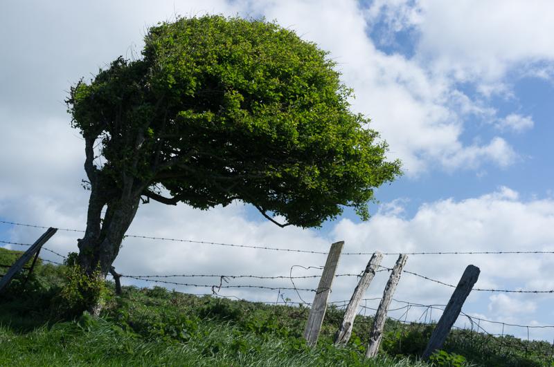
We climbed up from the town on grassy clifftops. Despite the bright sunshine it was incredibly windy: the Needles are also, apparently, famous for often recording the highest wind speeds in the UK. Turns out that you should bring a woolly hat even if you’re also wearing sun cream; the strong wind can be really unpleasant, especially on the ears.
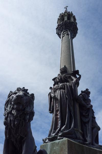
Anyway, we continued past the Tennyson Monument (a big cross thing) along the southern side of this narrow headland for a few miles until we reached the New Battery, now a National Trust site but previously a rocket testing site from the UK’s long-gone ‘space‘/ballistic missile programme. This was also our first view onward to the Needles, which aren’t shaped even remotely like needles.
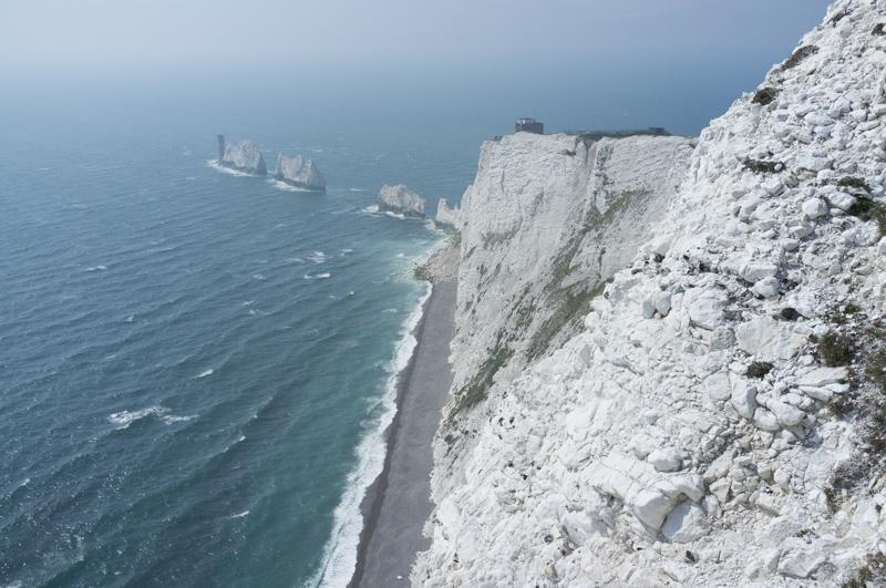
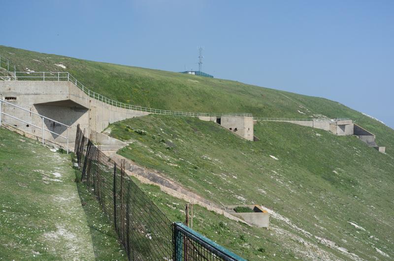
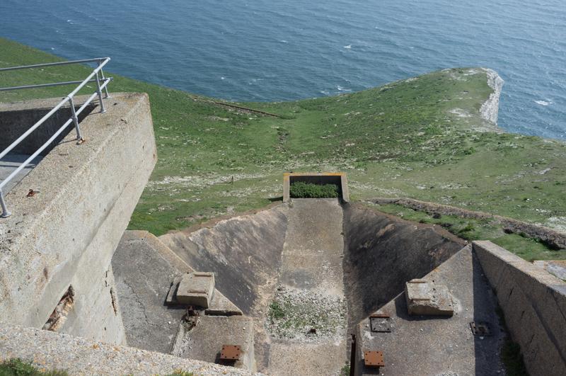
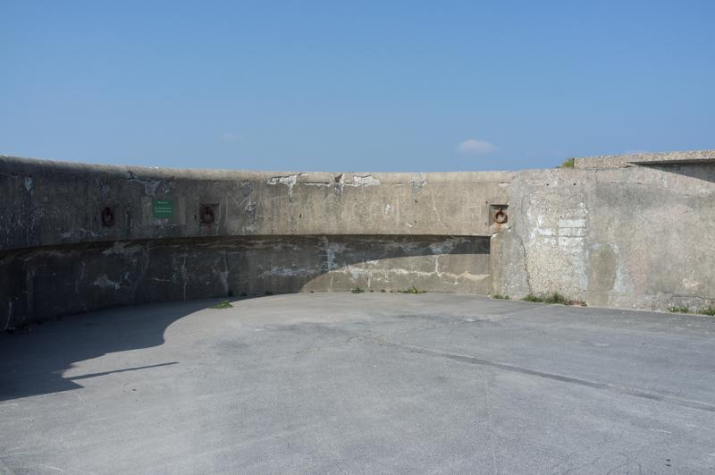
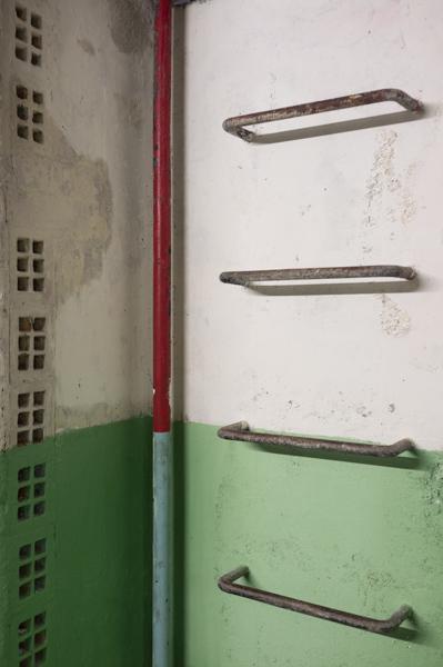
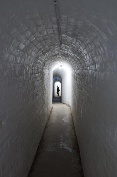
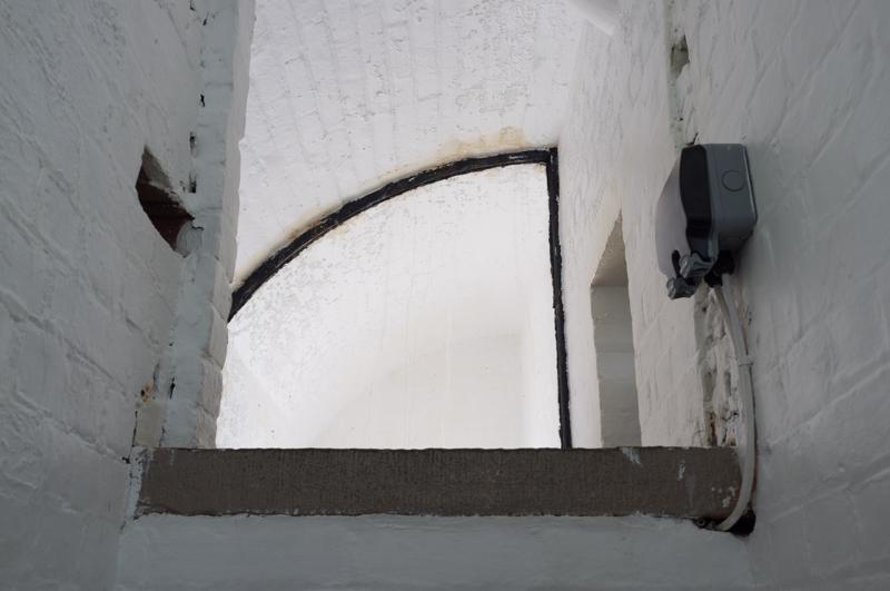
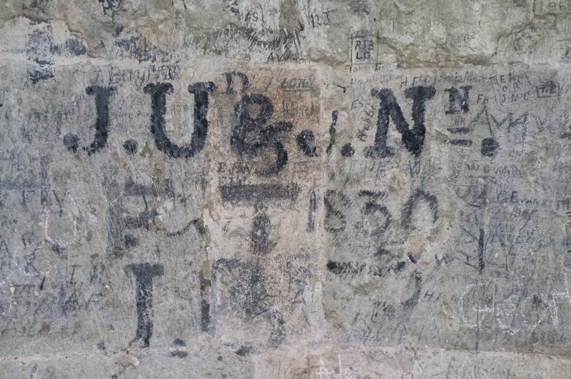
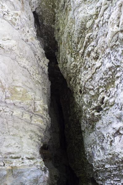
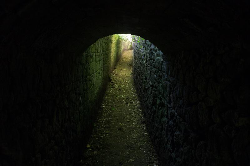
After visiting the exhibition, we continued a little further along to the Old Battery, which is also run by the NT (you have to pay to get in to this one). It was once a fort with guns covering this part of the Channel, and it still has a really neat tunnel leading to a searchlight emplacement with a closer view over the Needles.
We walked back along the north side of the headland to Alum Bay, which supposedly has 21 different colours of sand in its cliffs, although most of the colours could fairly be described as ‘sandy’. It’s a tourist attraction, but was closed by the time we arrived.

From Alum Bay we caught a bus to Newport and from there to Ventnor.
Wednesday: Newport and Carisbrooke Castle
We returned to Newport, the largest town on the island, where we visited a small Roman villa before finding a café in town for lunch.
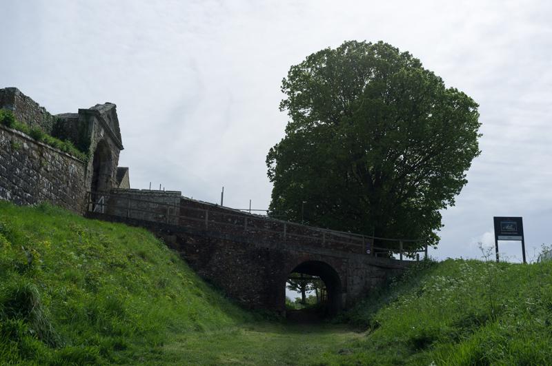
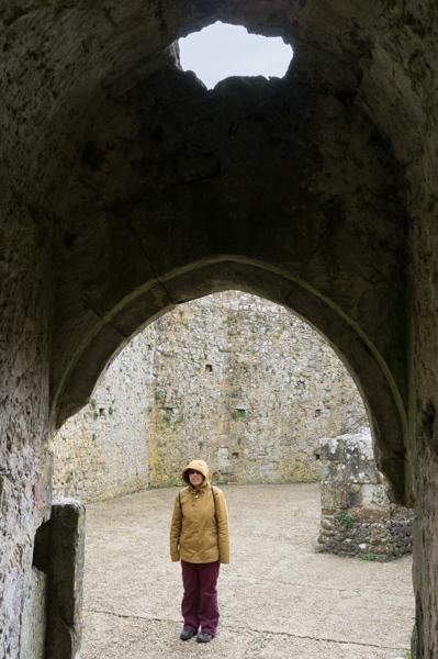
Next we visited Carisbrooke Castle. Charles I was once locked up there; it also has a well, the pump for which is operated by donkeys (but not at the time when we visited). Apart from the usual exhibitions, you can also walk around most of the ramparts.
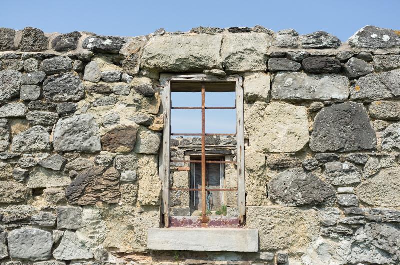
Thursday: Niton lighthouses
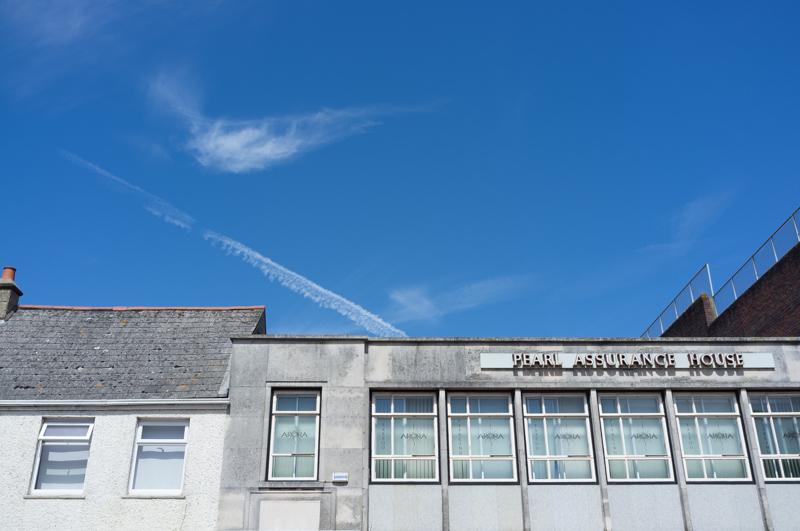
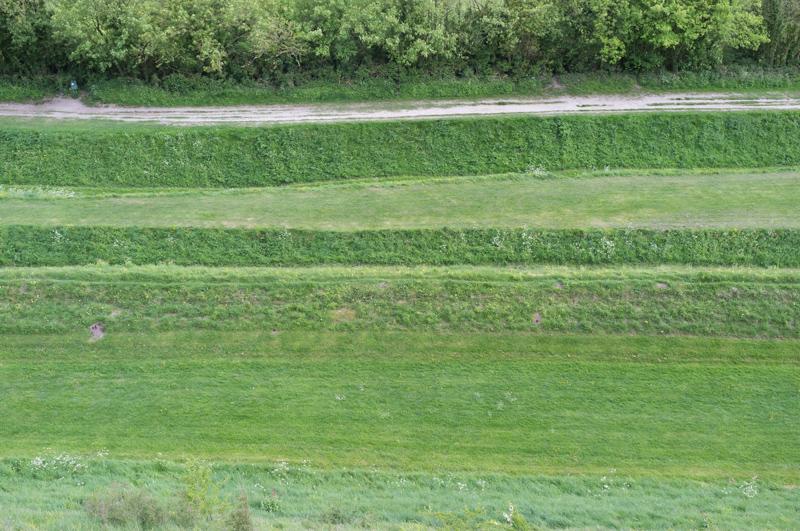
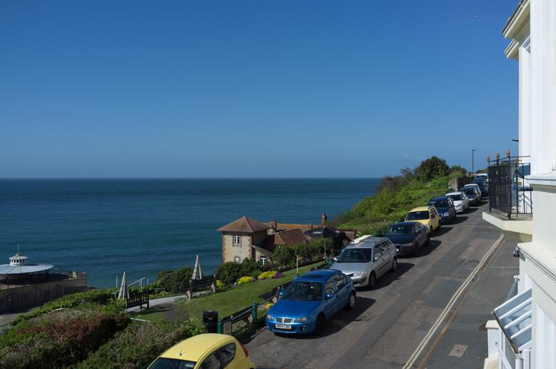
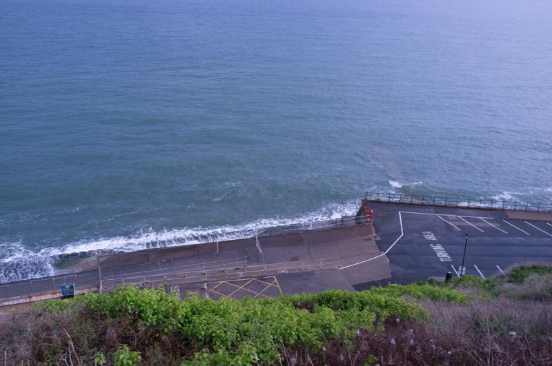
Before we set off I took pictures from the balcony of our flat.
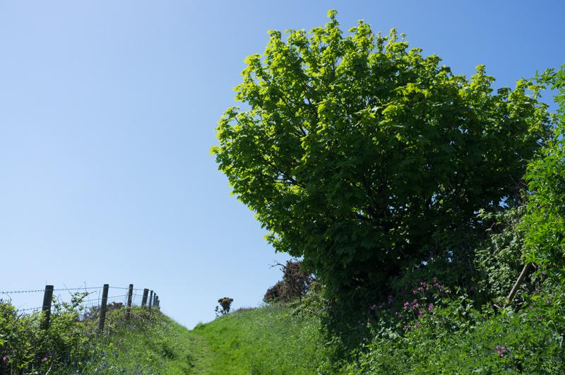
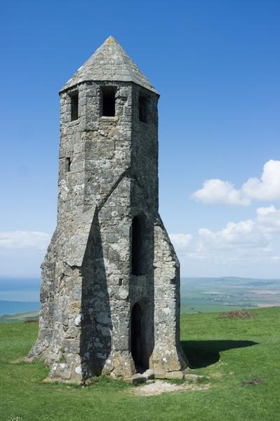
We took the bus to a small place called Niton and followed a route from our guidebook, starting uphill toward an old lighthouse.
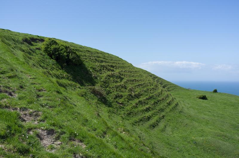
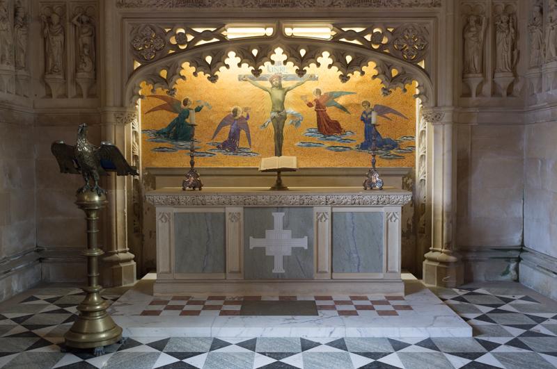
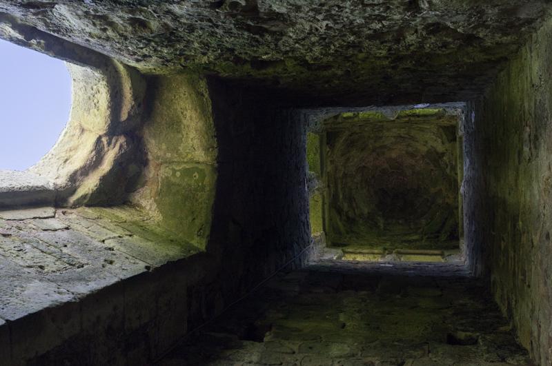
St Catherine’s Oratory Lighthouse stands on top of the hill. Allegedly its construction - including an attached chapel with a monk to tend the light - was funded by a merchant who had profited from earlier shipwrecks. The chapel was destroyed in the Reformation, but the lighthouse part remains.
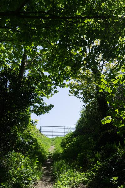
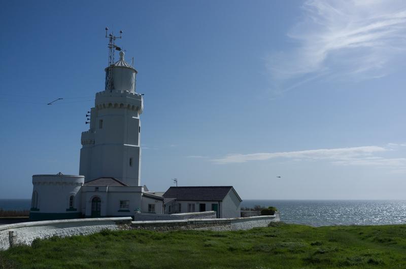
Having reached the highest point, we descended back toward Niton and then continued down through Niton Undercliff (basically a lower part of the village) to another lighthouse.
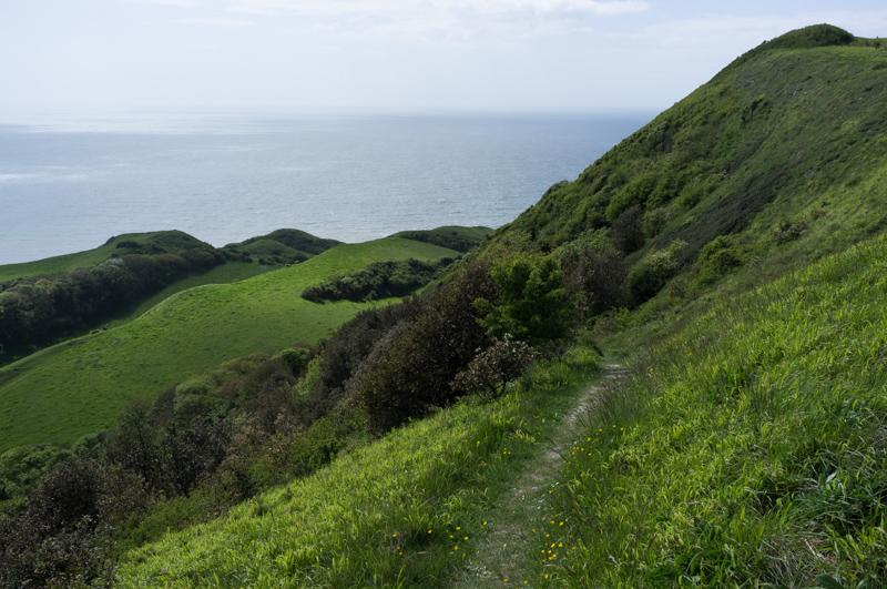
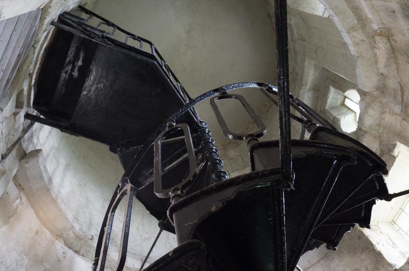
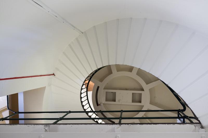
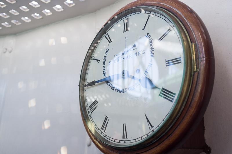
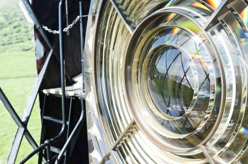
The relatively modern St Catherine’s Lighthouse still works, but you can also get guided tours - the volunteer who showed us around was really helpful.
We walked back up the hill to the main village and its bus stop.
Friday
Friday was a more relaxing day. We had a look at the local museum in Ventnor, before visiting the picturesque village of Godshill which has a model village (quite fun, but I don’t have any good pictures from it) and a chocolate shop.
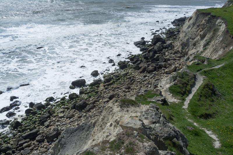
In the evening, while R rested, I took a short walk along the coastal path west from Ventnor to Steephill Cove and back.
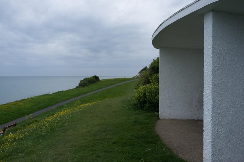
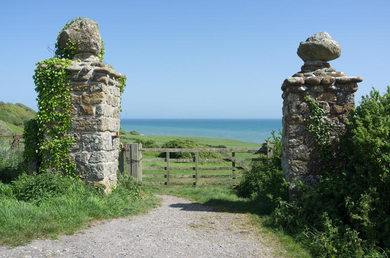
R came out with me to see the view in Ventnor a little way from our flat.
We walked back to our flat past the art deco Winter Palace.

Saturday
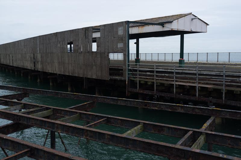
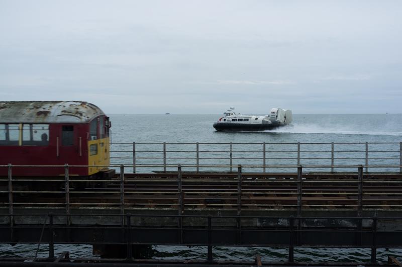
We took the bus back to Ryde and got the hovercraft back to the mainland, but only after a brief walk out onto the ferry pier.
Overall we had a really nice holiday; it was well worth visiting (and not just for the ice cream).