Isle of Wight (1)

Introduction

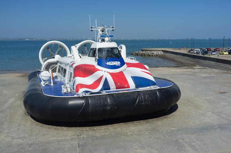
R and I took a week’s holiday in the Isle of Wight, just off the south coast of England. There are normal ferries but you can also get there from Portsmouth by hovercraft; not the only reason to go, but certainly an important factor.

The hovercraft that brought us over, on its way back to the mainland.
1/1000 at f8, 23mm, ISO200 50°43′57″N 1°9′31″W

Saturday: Ventnor

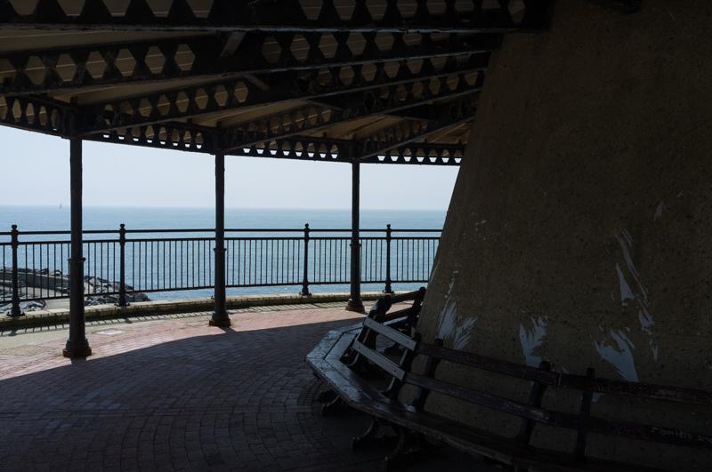
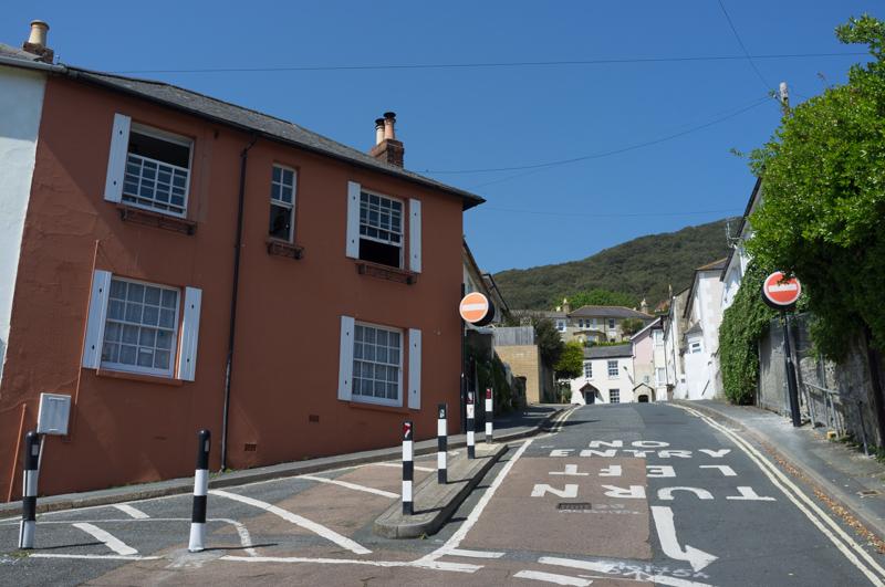
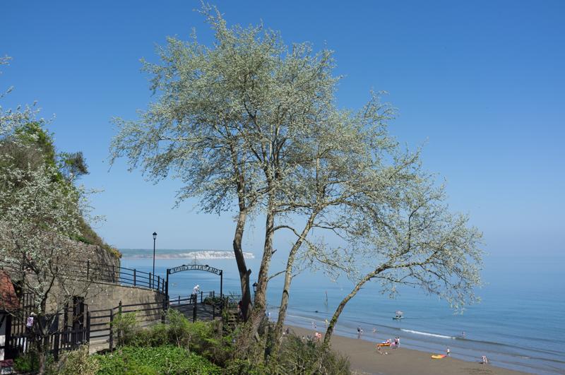
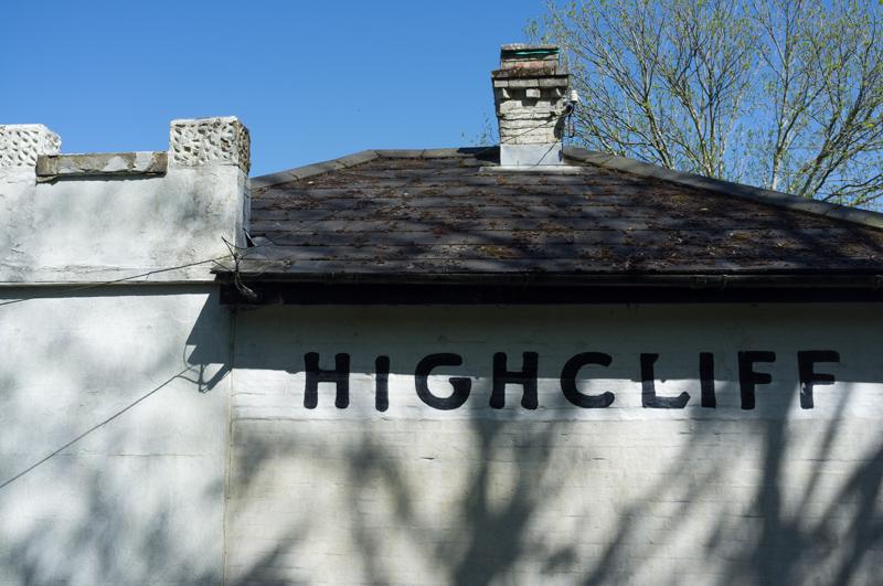
We stayed in a small town called Ventnor on the south coast of the island. The best reason to go there may well be the amazing Crave Ice Cream shop, which sells home-made ice cream with different flavours every day. But it is also quite a nice seaside town in other regards.

Closed garage with orange transparent sheeting.
1/60 at f4, 23mm, ISO200 50°35′40″N 1°12′18″W
Message beside garage: Watch earthlings. (Can’t trust ’em.)
1/60 at f4, 23mm, ISO200 50°35′40″N 1°12′18″W
View over somebody’s roof to the sea.
1/1000 at f11, 23mm, ISO200 50°35′37″N 1°12′23″W
View from end of harbour wall.
1/200 at f8, 23mm, ISO200 50°35′32″N 1°12′18″W
Post and rocks (from beach).
1/125 at f8, 23mm, ISO200 50°35′34″N 1°12′25″W

Sunday: Ventnor and St Boniface Down

In the morning we looked around Ventnor some more.

Closed amusement arcade on the short promenade, with a photobombing crow.
1/1000 at f8, 23mm, ISO200
Bandstand-like structure cleverly built on top of a pumping station.
1/500 at f8, 23mm, ISO200

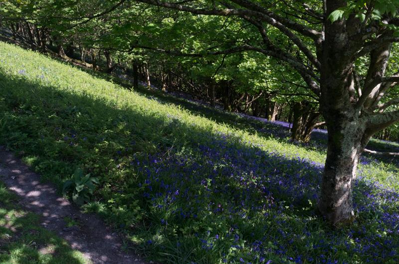
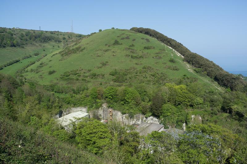
In the afternoon we took a walk up the hill behind the town to St Boniface Down, which includes the tallest point on the island at 240 metres above sea level. (I’m not sure I told R that part beforehand.)

Pretty orange house on the road to the higher part of town.
1/500 at f8, 23mm, ISO200 50°35′43″N 1°12′20″W
Looking back from a higher road, with spiky palm trees and the sea.
1/1000 at f8, 23mm, ISO200 50°35′49″N 1°12′31″W

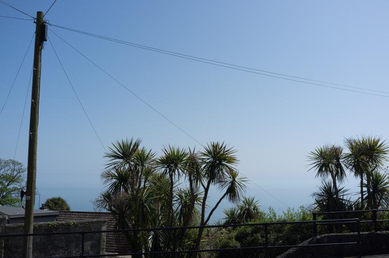
There was a steep climb up a hillside path from the station area (more about that later) to the level of the downs.

Leaning tree near the top.
1/500 at f8, 23mm, ISO200 50°35′59″N 1°12′11″W
A couple of transmitter masts near the high point.
1/1000 at f8, 23mm, ISO200 50°36′8″N 1°11′53″W
Trees with a bluebell carpet.
1/500 at f8, 23mm, ISO200 50°36′8″N 1°11′52″W

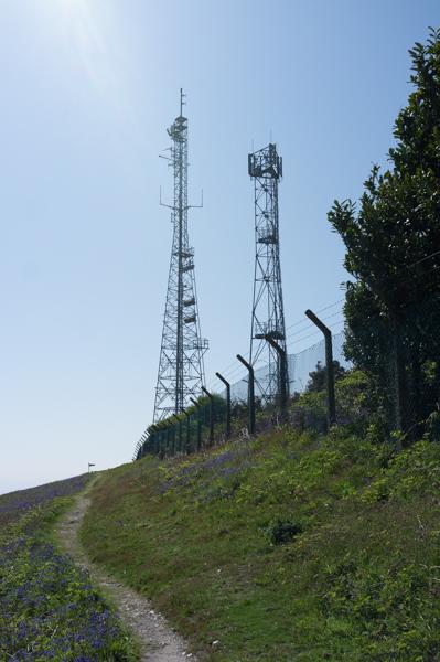
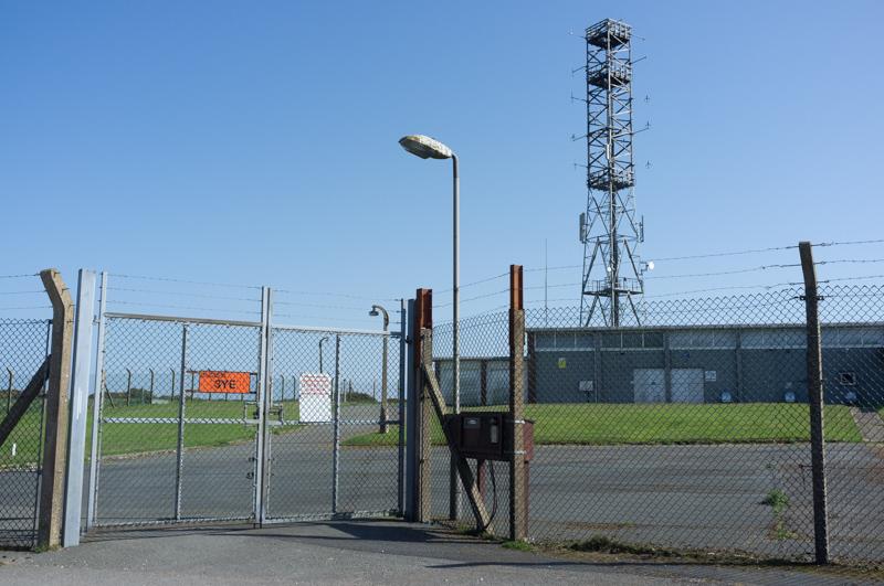
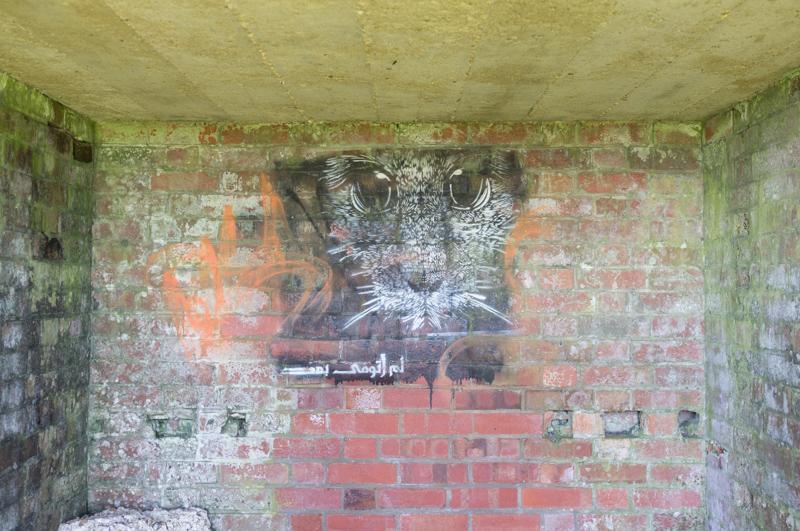
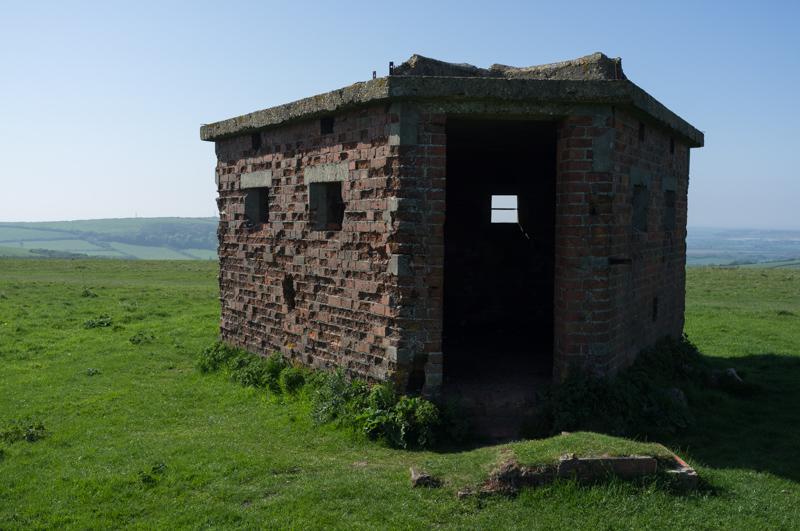
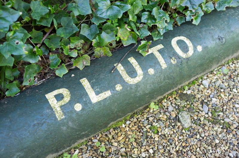
The downs once hosted a military radar station, which has now been sold for civilian use (I think it’s a radio station for emergency services). There are still brick pillbox structures dotted around the landscape.

Ex-radar station.
1/1000 at f8, 23mm, ISO200 50°36′16″N 1°11′52″W
Stencil inside a pillbox.
1/15 at f2.8, 23mm, ISO200 50°36′14″N 1°12′1″W
Part of the old rader station complex.
1/1000 at f8, 23mm, ISO200 50°36′12″N 1°12′4″W
Interestingly-shaped pillbox.
1/500 at f8, 23mm, ISO200 50°36′13″N 1°12′8″W

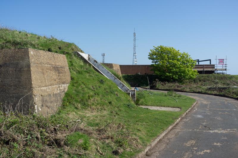
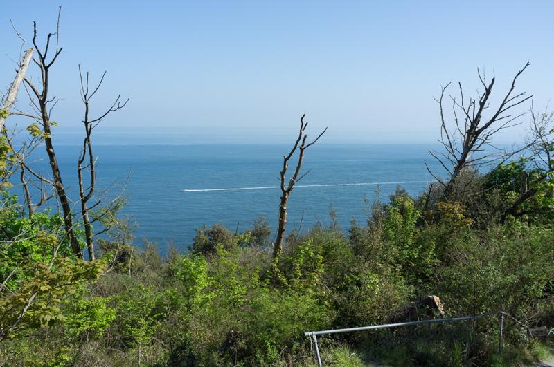
Our circular walk then descended on the opposite side of the old railway station. The railway line has been closed, but it used to run through a tunnel which emerges in a gash between two hills. The station area is now an industrial estate.

Station area below and, in background, the path we took going up.
1/500 at f8, 23mm, ISO200 50°35′53″N 1°12′36″W
Shiny boat in the industrial estate.
1/500 at f8, 23mm, ISO200 50°35′52″N 1°12′30″W
Evening seaside view.
1/30 at f4, 23mm, ISO400 50°35′36″N 1°12′1″W

Monday: Shanklin Chine

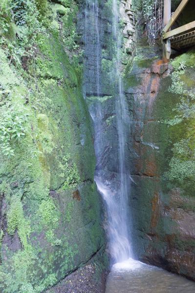
On Monday, R suggested a trip to Shanklin Chine, which claims to be the island’s oldest tourist attraction. On the island, a ‘chine’ is basically a steep-sided valley where a stream runs down to the sea. This one is quite pretty and the Victorians had the idea of charging entry to it.

Base of waterfall.
1/15 at f2.8, 23mm, ISO200 50°37′32″N 1°10′37″W
Bench.
1/125 at f2.8, 23mm, ISO200 50°37′34″N 1°10′33″W
View out to sea from the end.
1/500 at f8, 23mm, ISO200 50°37′34″N 1°10′26″W
Tree, beach, and entrance/exit gate to the chine.
1/1000 at f8, 23mm, ISO200 50°37′34″N 1°10′27″W
Secret oil pipeline that carried fuel to France in WW2: Pipe Line Under The Ocean.
1/30 at f2.8, 23mm, ISO200 50°37′35″N 1°10′30″W

After leaving the chine, we followed the coastal path back to Ventnor.

Nice tree, with a barely visible ship in the middle.
1/500 at f8, 23mm, ISO200 50°37′4″N 1°10′34″W
Another nice tree. (Arguably I should learn tree identification so I can write better captions.)
1/1000 at f8, 23mm, ISO200 50°37′3″N 1°10′33″W
Highcliff.
1/500 at f8, 23mm, ISO200 50°37′0″N 1°10′31″W

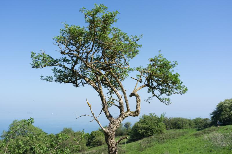
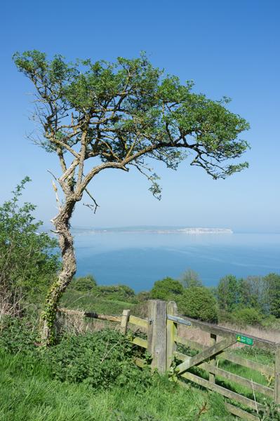
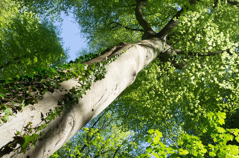
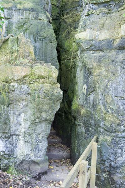
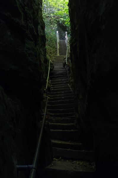
The path ran through The Landslip: an area where the cliffs repeatedly collapsed in the past. It’s got quite impressive trees. While R took a breather, I detoured to see the Devil’s Chimney - a very narrow path that takes you up 225 steps to the current clifftop level. Then I came back down the 225 steps again. Of the two of us, arguably I have slightly more tolerance for that type of detour.

Large tree.
1/500 at f8, 23mm, ISO200 50°36′27″N 1°10′45″W
Devil’s Chimney entrance. Fat people not welcome.
1/15 at f2.8, 23mm, ISO200 50°36′17″N 1°10′52″W
Steps in the Devil’s Chimney path.
1/15 at f5.6, 23mm, ISO200 50°36′17″N 1°10′52″W

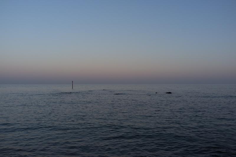
After that little excitement, we continued along the coast to Ventnor.

Speedboat and handrail.
1/500 at f8, 23mm, ISO200 50°36′10″N 1°10′48″W

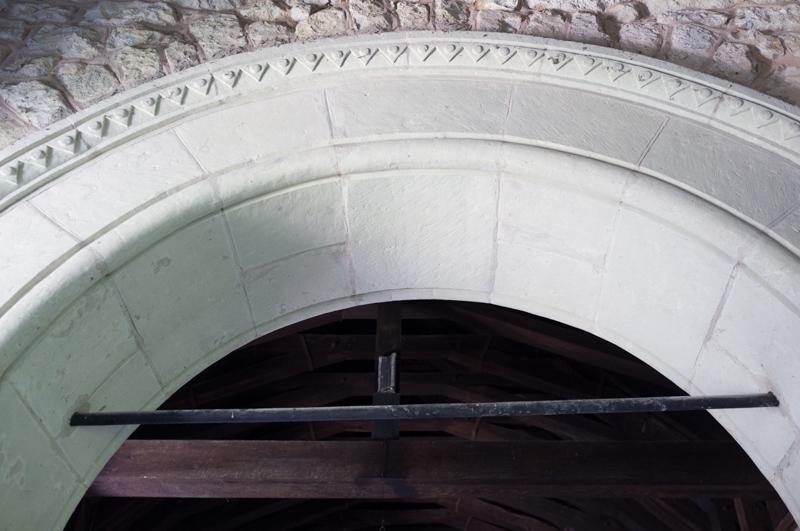
We had a quick look inside a small church.

Old St Boniface’s Church.
1/15 at f2.8, 23mm, ISO800 50°35′56″N 1°11′5″W

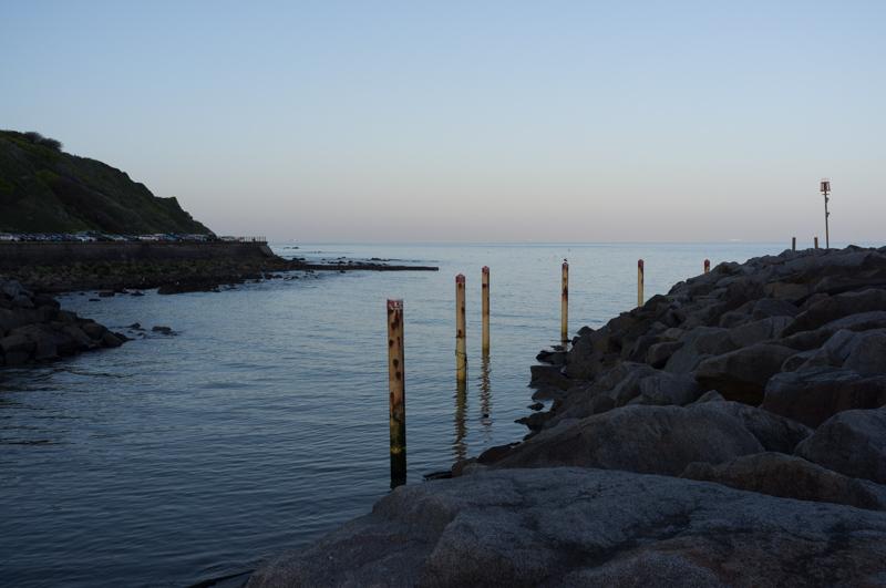
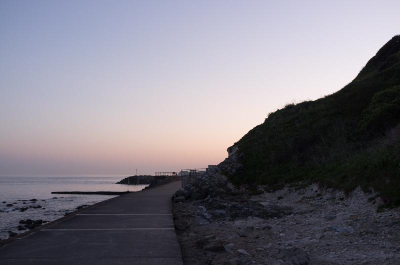
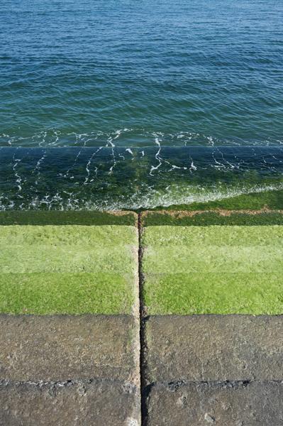
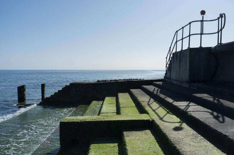
The path into Ventnor ran along the sea defences at the base of the cliffs.

Sea defences (1).
1/2000 at f8, 23mm, ISO200 50°35′50″N 1°11′9″W
Sea defences (2).
1/1000 at f8, 23mm, ISO200 50°35′48″N 1°11′13″W
Small boat.
1/1000 at f4, 23mm, ISO200 50°35′42″N 1°11′46″W

That’s all for now - I split this into two parts. The next part contains among other things some pointy rocks, a rocket launching ground, a castle, and a pair of lighthouses.

All images © Samuel Marshall. All rights reserved.