Darent Valley Path: Dartford to Greenhithe

Introduction

Mum, Dad, and I set out to complete the Darent Valley Path. We had previously reached Dartford; only the final stretch remained, to the point where the river joins the Thames.

Dartford

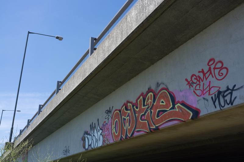
We set out from Dartford station, climbed steps down to the river, and followed the path signs, which was a slight mistake; the route is signed over a wooden footbridge, through the Wickes car park, and along the main road for a bit. You can cut all this off by walking on a newer footpath directly under the railway bridge.

The footbridge you shouldn‘t actually cross.
1/500 at f8, 23mm, ISO200 51°26′48″N 0°13′13″E
Pipes beside the road.
1/500 at f8, 23mm, ISO200 51°26′50″N 0°13′14″E

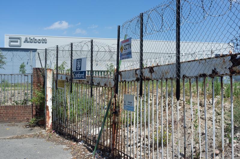
An area by the road had been cleared for housebuilding. This used to be part of the GSK pharmaceuticals plant which originated, as part of Burroughs Wellcome, in 1889.

Abbott Diagnostics factory behind, presumably also on the GSK site.
1/500 at f8, 23mm, ISO200 51°26′53″N 0°13′7″E
Nice sign.
1/1000 at f8, 23mm, ISO200 51°26′55″N 0°13′3″E

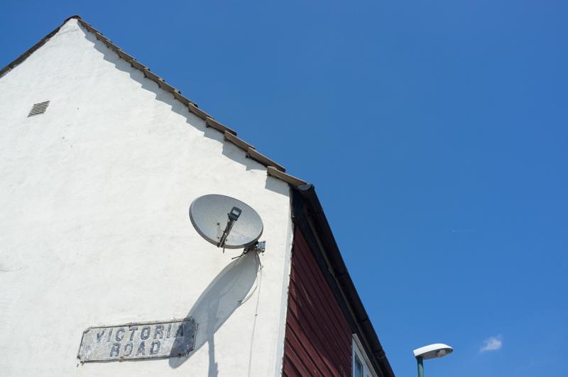
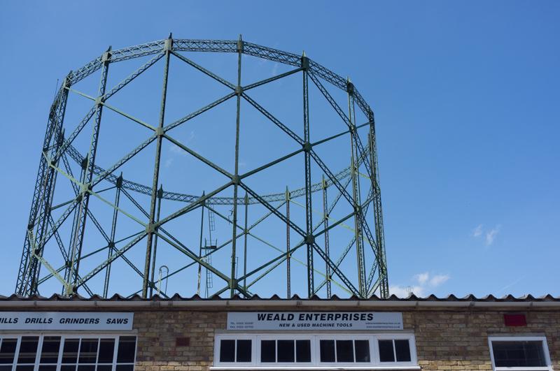
We walked down Victoria Road, passing the old gasworks and a pub called the Hufflers Arms. (The name amused us, but it turns out that hufflers are actually a thing. More about that later.)

Gasholder.
1/1200 at f8, 23mm, ISO200 51°26′56″N 0°13′4″E
Report to reception... if you dare.
1/1200 at f8, 23mm, ISO200 51°26′58″N 0°13′5″E
The lovely river Darent at low tide.
1/1200 at f8, 23mm, ISO200 51°26′58″N 0°13′10″E
I liked the large hole in this building (which houses a freight firm and a bus depot).
1/500 at f8, 23mm, ISO200 51°27′0″N 0°13′12″E

River Darent

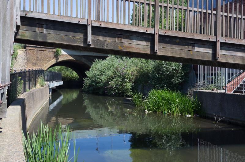
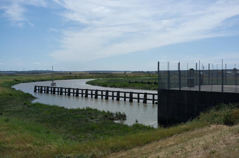
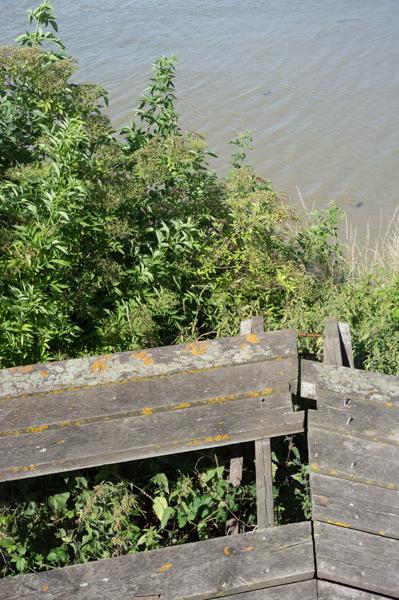
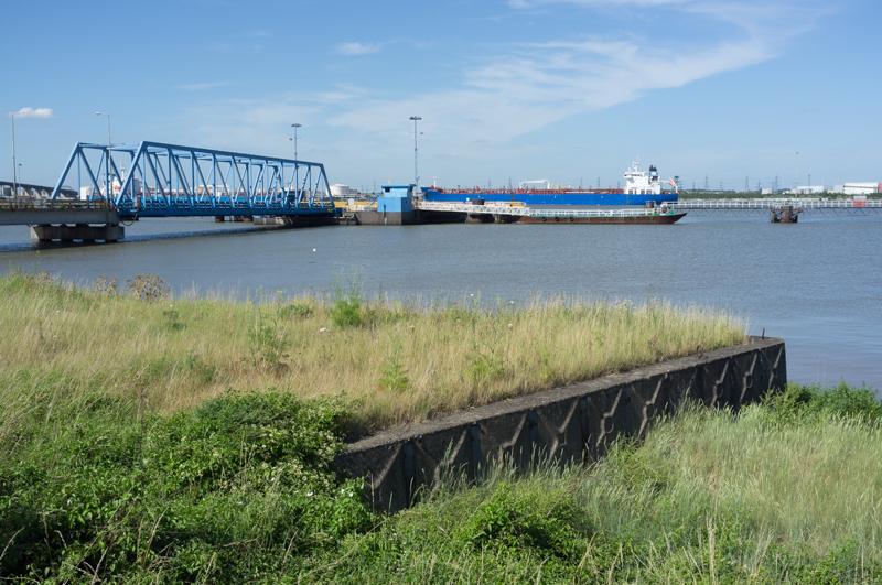
We then followed a riverside footpath, past a dismantled bridge, to the remains of a lock, where we met a man working on the riverbank - part of a group trying to restore the lock and make the river navigable again, which sounds like a long process. He told us what hufflers were - people who used to wait on shore by the Thames to help ’punt‘ barges up the creek to a wharf using large poles. He also said somebody was planning to sail up the creek later that afternoon.

Looking back toward Dartford under a rather impressive pipe bridge.
1/1000 at f8, 23mm, ISO200 51°27′8″N 0°12′58″E

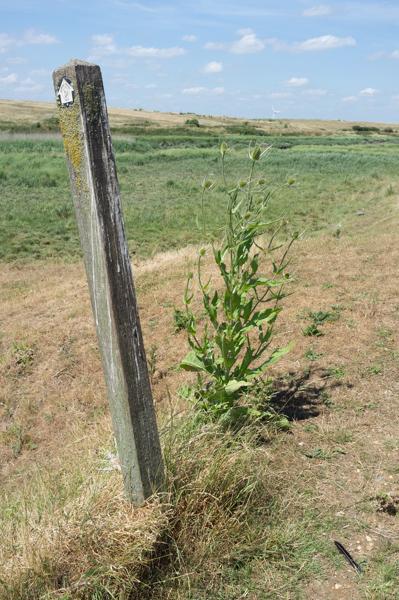
The next long section of the path ran along an embankment built to constrain the river's flood plain on Dartford Marshes. It took an even less direct route than the river itself, so progress was slow.

Looking back once more. Concrete quayside?
1/1000 at f8, 23mm, ISO200 51°27′30″N 0°12′42″E

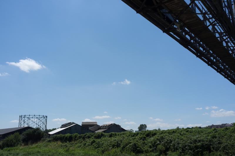
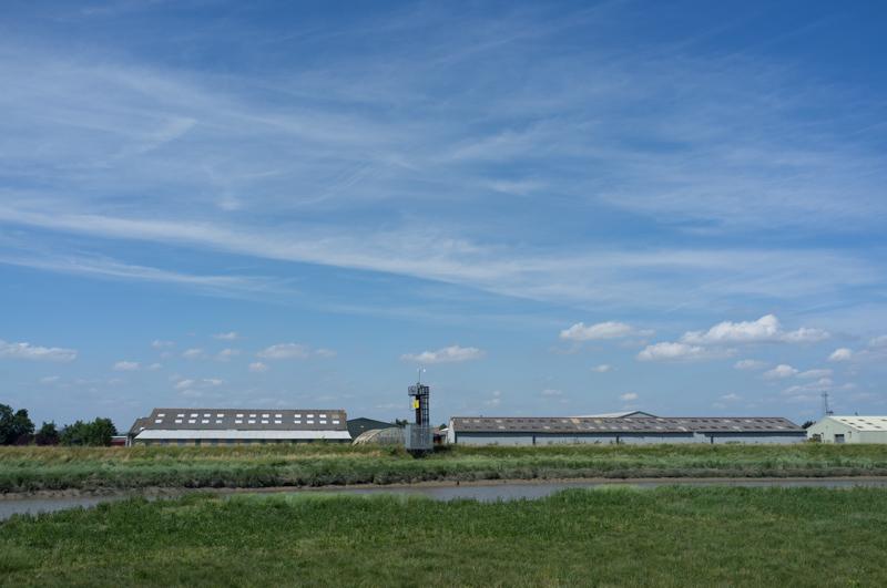
We crossed under a large new road; beyond, the marshes continued. There was a motocross course to one side and, some way distant, small abandoned buildings from what is probably the old Wells fireworks factory.

Road bridge.
1/500 at f8, 23mm, ISO200 51°27′32″N 0°12′42″E
Another meaning of tree-house? (A wartime ammunition storage bunker.)
1/1000 at f8, 23mm, ISO200 51°27′42″N 0°12′42″E
The route was well waymarked, as well as being completely obvious.
1/1000 at f8, 23mm, ISO200 51°27′45″N 0°12′41″E
Sheds across the river.
1/1000 at f8, 23mm, ISO200 51°28′29″N 0°12′45″E

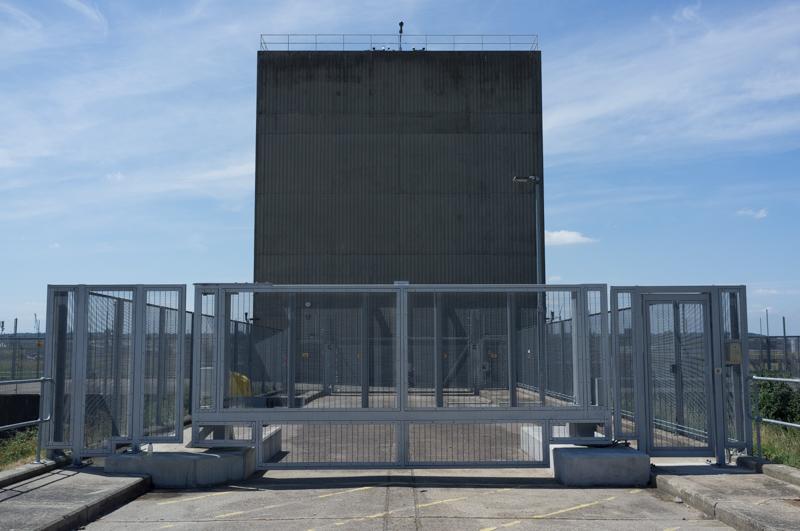
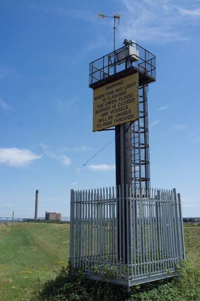
Having seen the flood barrier in the distance, it took an awfully long time to reach it because of the indirect route. But we got there in the end. Some bushes beside the access lane provided the first shade we‘d encountered on the marshes, so we stopped there to eat lunch.

Flood barrier.
1/1000 at f8, 23mm, ISO200 51°28′38″N 0°13′1″E
Side view. There was some suggestion that this is not a very pretty structure.
1/1000 at f8, 23mm, ISO200 51°28′41″N 0°13′3″E

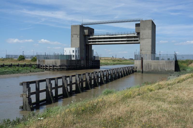
Conveniently, the promised boat picked that moment to ‘sail’ up the Darenth! It was actually using the engine, but still.

Having passed the barrier, it continued upriver.
1/1000 at f8, 23mm, ISO200 51°28′42″N 0°13′2″E

Thames bank

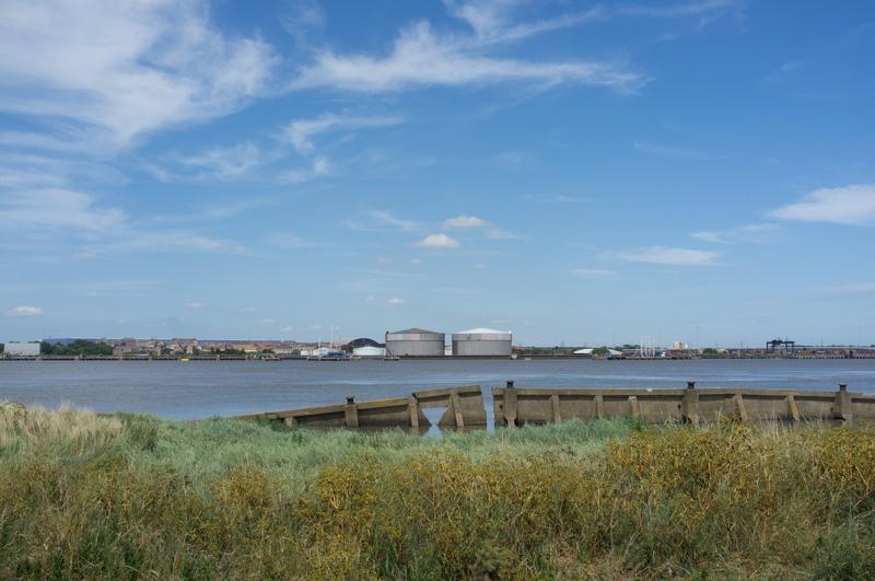
The rest of our walk followed the Thames riverbank. To begin with this followed the north edge of the marshes, where there is apparently a clay-pigeon shooting range. The constant gunshots (some echoing right across the river) were alarming, but nobody managed to actually hit us.

Flood barrier warning sign; power station in distance.
1/1000 at f8, 23mm, ISO200 51°28′46″N 0°13′11″E

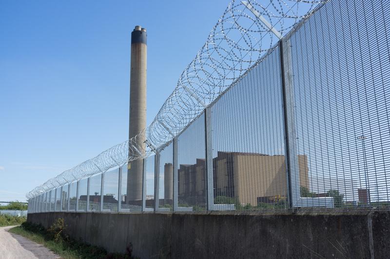
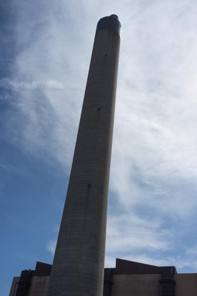
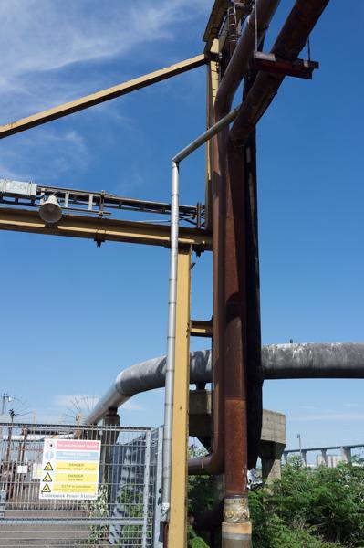
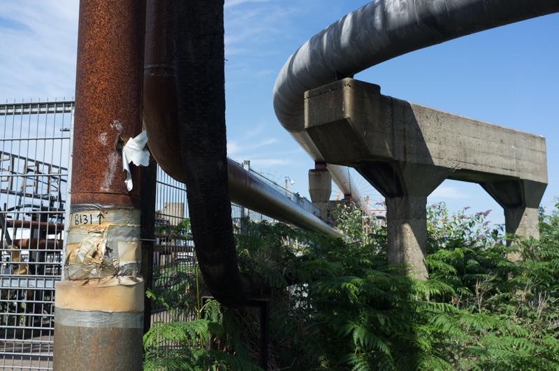
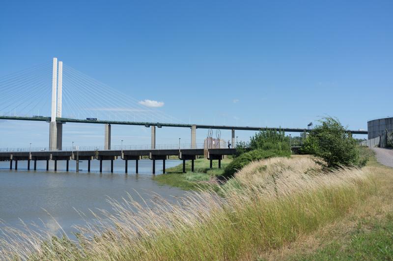
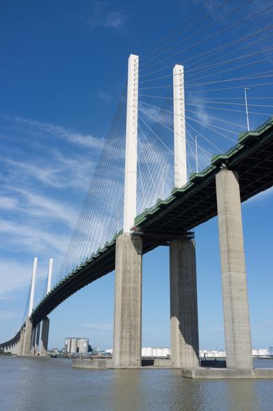
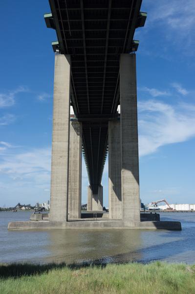
There‘s then a sewage works and Littlebrook Power Station, before the impressive motorway bridge.

SPOOKE returns from the previous part of the walk.
1/1000 at f8, 23mm, ISO200 51°28′17″N 0°14′7″E
The fence may have been upgraded to deter climate-change protesters.
1/1000 at f8, 23mm, ISO200 51°28′11″N 0°14′16″E
Looking across the Thames past an interesting hole in the wall.
1/1000 at f8, 23mm, ISO200 51°28′10″N 0°14′18″E
View westward; nice sign.
1/800 at f8, 23mm, ISO200 51°28′4″N 0°14′29″E
Power station chimney.
1/2000 at f8, 23mm, ISO200 51°28′4″N 0°14′31″E
Tangled metalwork 1.
1/1000 at f8, 23mm, ISO200 51°27′57″N 0°14′45″E
Tangled metalwork 2, including quality duct-tape repair.
1/1000 at f8, 23mm, ISO200 51°27′57″N 0°14′46″E
Jetty; ferry on opposite bank, its door half-closed.
1/1000 at f8, 23mm, ISO200 51°27′57″N 0°14′49″E
Jetty and motorway bridge.
1/1000 at f8, 23mm, ISO200 51°27′50″N 0°14′58″E
Planking by river. Mum sat on the right-hand part of this to drink her tea.
1/1000 at f8, 23mm, ISO200 51°27′44″N 0°15′19″E
Bridge view.
1/1000 at f8, 23mm, ISO200 51°27′43″N 0°15′20″E

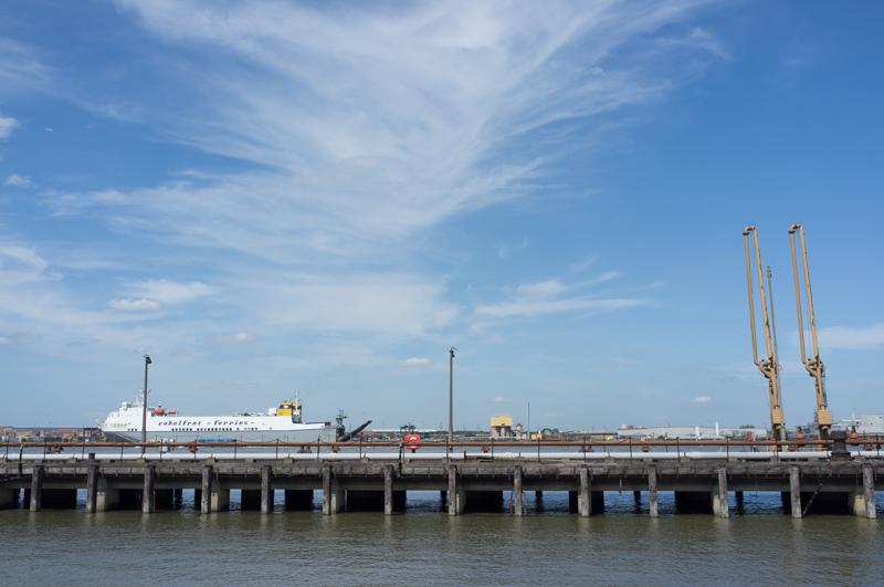
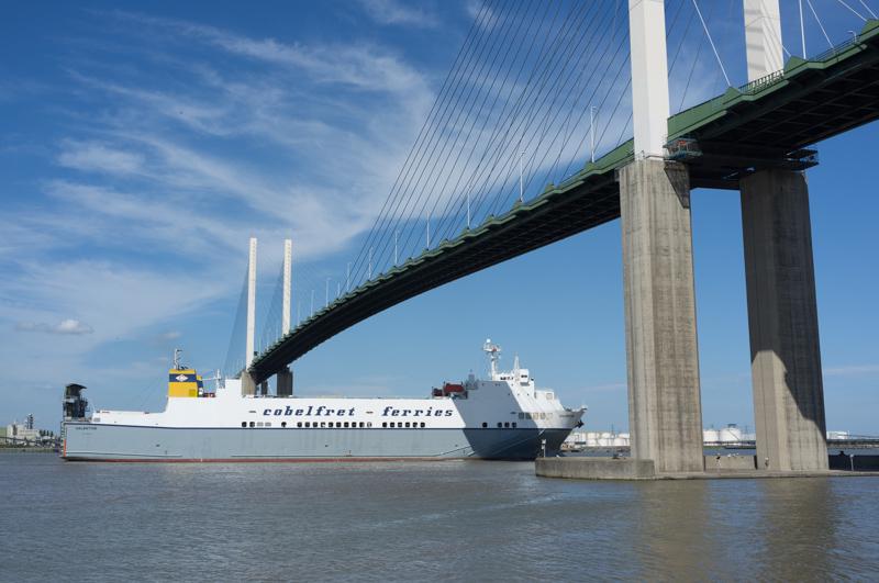
The ferry opposite (Cobelfret Ferries Valentine) generously chose that moment to depart, so we watched it under the bridge.

Ferry on the way to Zeebrugge.
1/1000 at f8, 23mm, ISO200 51°27′44″N 0°15′19″E
Bridge from below.
1/1000 at f8, 23mm, ISO200 51°27′42″N 0°15′22″E
The ships opposite (Maersk Erik and CPO France) are at Vopak oil storage terminal.
1/1000 at f8, 23mm, ISO200 51°27′25″N 0°15′55″E
Large piles of sand.
1/1000 at f8, 23mm, ISO200 51°27′12″N 0°16′27″E

We left the Thames along a short footpath to the main road, and followed it to Greenhithe station and the end of the walk.

All images © Samuel Marshall. All rights reserved.