Introduction
Mum, Dad, and I went for a fairly short walk along the Darent Valley Path. Having made it from Sevenoaks to Eynsford last time, we resumed at Eynsford.
Eynsford
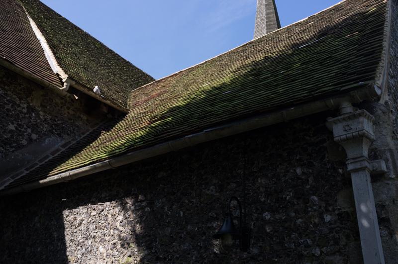
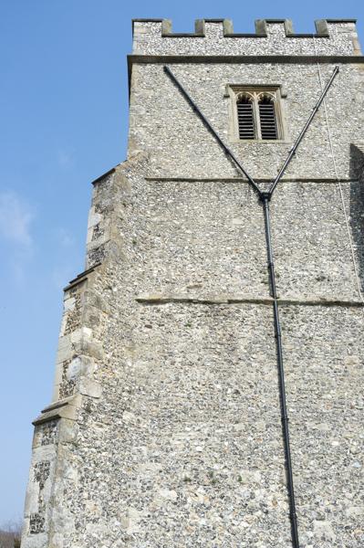
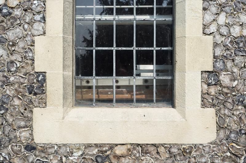
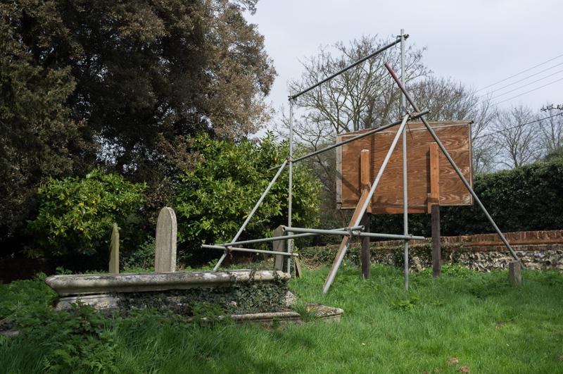
After walking down from the railway station, we had a look around the outside of the church.
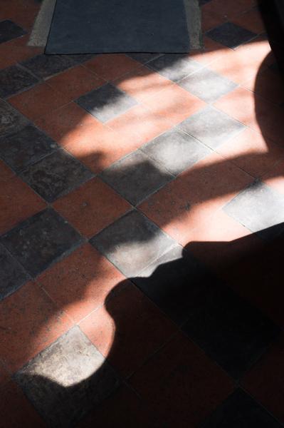
Then we stopped for a while at a nice tea shop beside the ford. (Incidentally, we did get to see several vehicles using the ford this time around.)
Our route after that ran beside Sparepenny Lane, so called because if you went down this back lane you could avoid paying the penny toll they once charged on the main road. We also had a distant view of ruined Eynsford Castle, which we hadn’t realised existed; looks like it might be worth a visit, but we weren’t going to walk all the way back for it.
Farningham
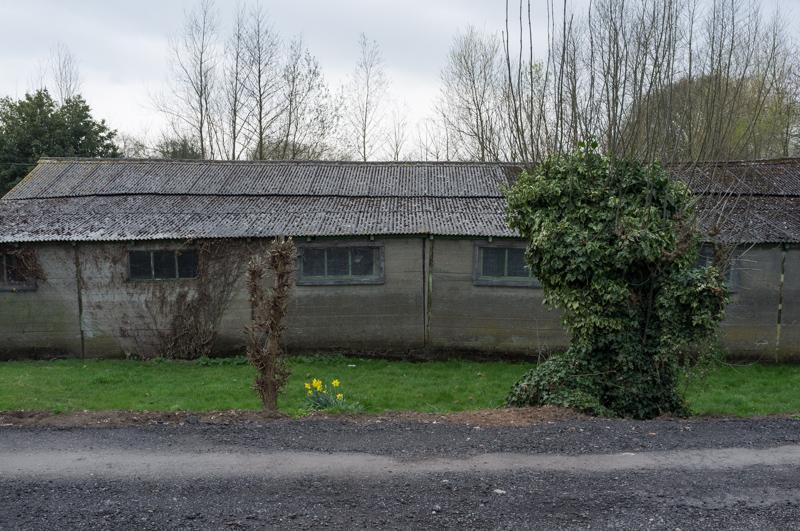
Farningham is the next village along. It has an ex-mill that has been converted into expensive flats, quite a range of more-or-less twee buildings, and an infeasibly large (but quite nice-looking) pub, The Lion Hotel.
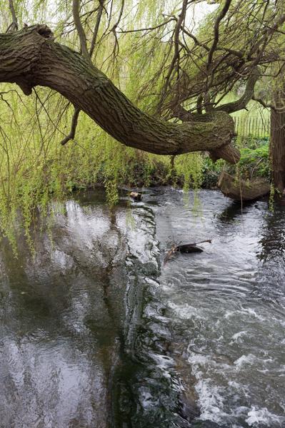
River Darent
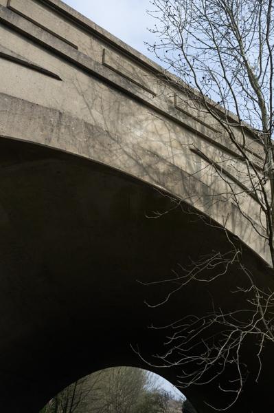
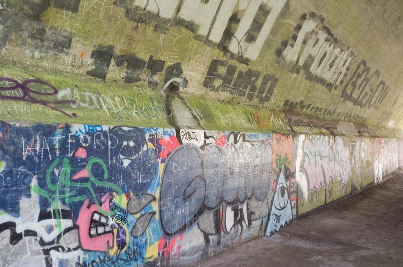
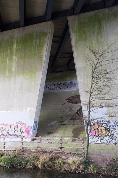
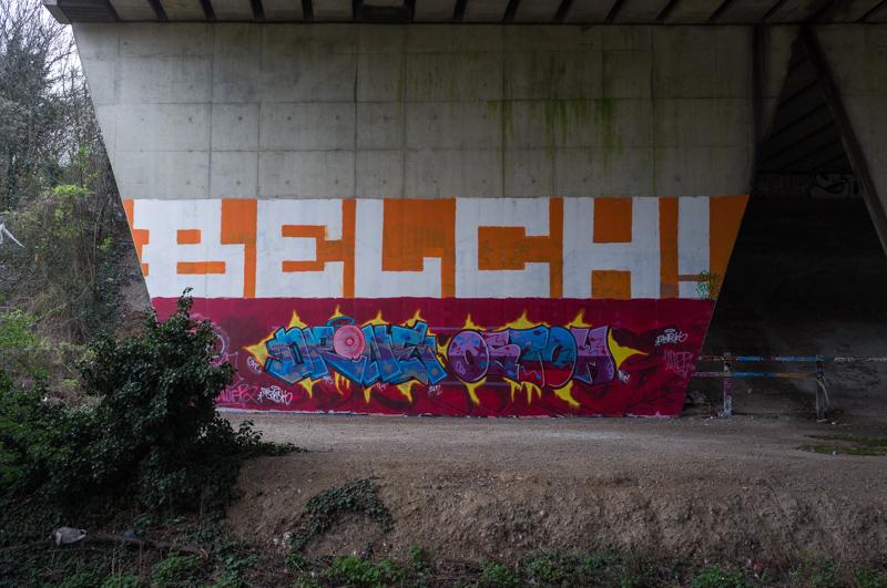
We followed a riverside path under the A20, past machinery that appears to be driving deep boreholes for Thames Water, and then under the M20 before sitting to have our lunch by the river near a mansion/estate called, strangely, Franks.
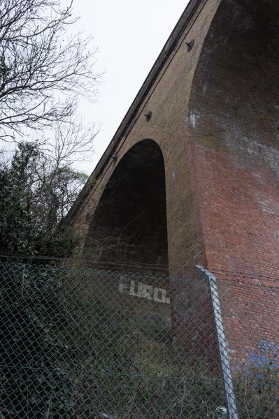
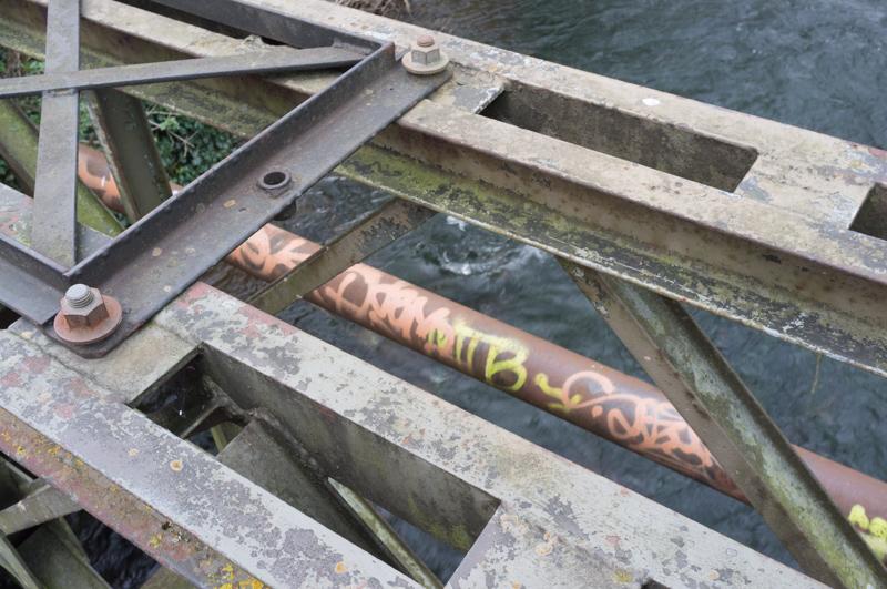
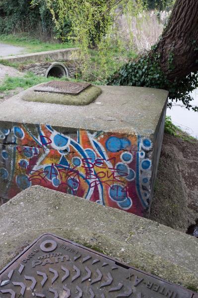
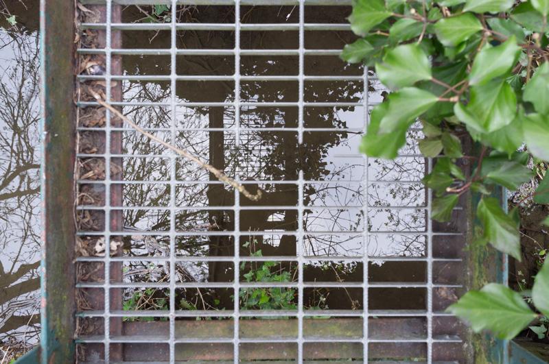
The large road bridges began a quite impressive crop of graffiti from this walk; I’ve only included a selection of it in these pics. There were also two teenage girls riding horses along the ‘no horse riding’ footpath, so it was quite a varied selection of law-breaking.

Horton Kirby
Later, we crossed the river to take a look at a village called Horton Kirby. The church was closed.
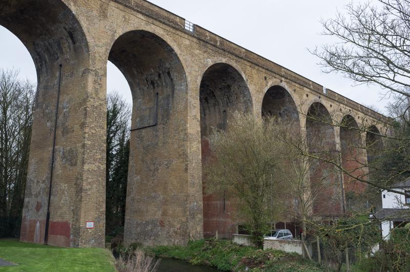
South Darenth
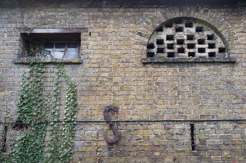
Our path left the river at South Darenth, which used to have a large paper mill (it only closed in 2003) and still has a very impressive railway viaduct.
The path ran across a short stretch of countryside and beside a fresh food distribution site (as a lorryload of French mushrooms drove past) into what I think is called Darenth itself. By coincidence we met one of the church wardens who kindly showed us around St. Margaret’s church. The church was quite fancy inside, although I didn’t take many pictures.
Nearing Dartford
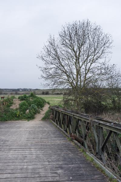
At the end of a short side road we crossed a field to rejoin the river as it ran under the M25 motorway. This is about the point where it began to feel that we were getting near to Dartford itself.
Emerging from the M25 bridge, we had to walk along a road for a short distance, under the A2, and then back to the river near what used to be a large quarry. It’s been filled in and grassed over.
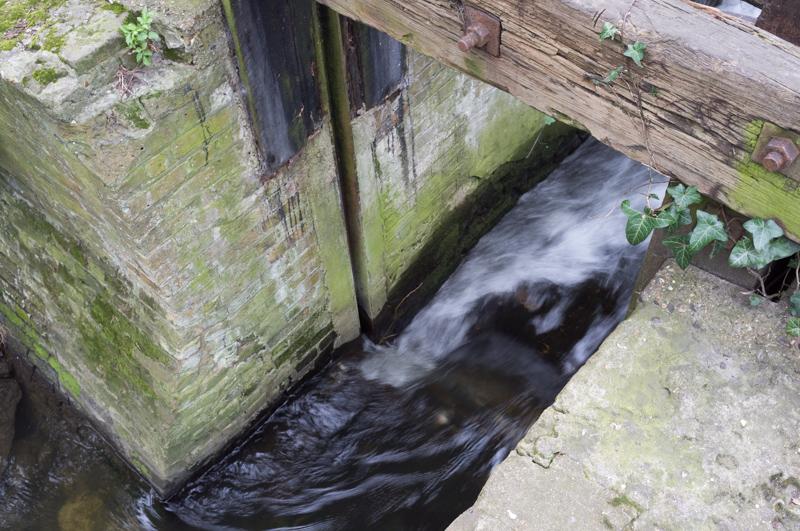
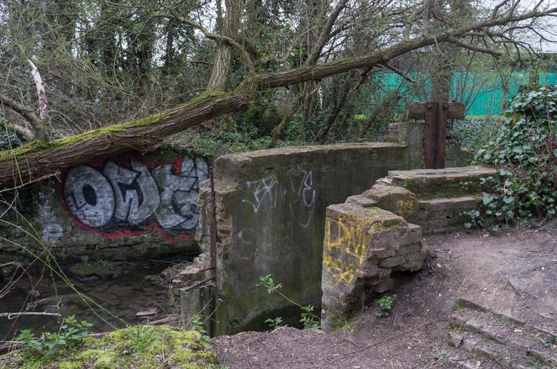
The next point of interest was the water channels for what had once been a mill. Several channels spread the river water (with modern footbridges added), and there were remains of concrete bases on the islands these formed. It reminded me of the gunpowder mill in Crane Park, and (looking it up online afterward) it is indeed part of the site of Dartford Powder Mills.
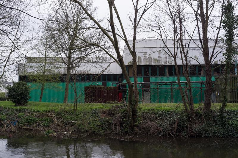
The path then leads through an industrial estate, beside a lake, and through a rather nice tunnel into Dartford’s Central Park, which is slightly less famous than the one in New York.
From there we walked through the town to Dartford station and got a train back.
Dad also took pictures of this walk, incidentally!