Introduction
On Sunday afternoon I decided to take the bus to Woburn Sands and walk around the area.
Getting started
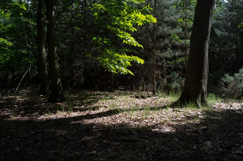
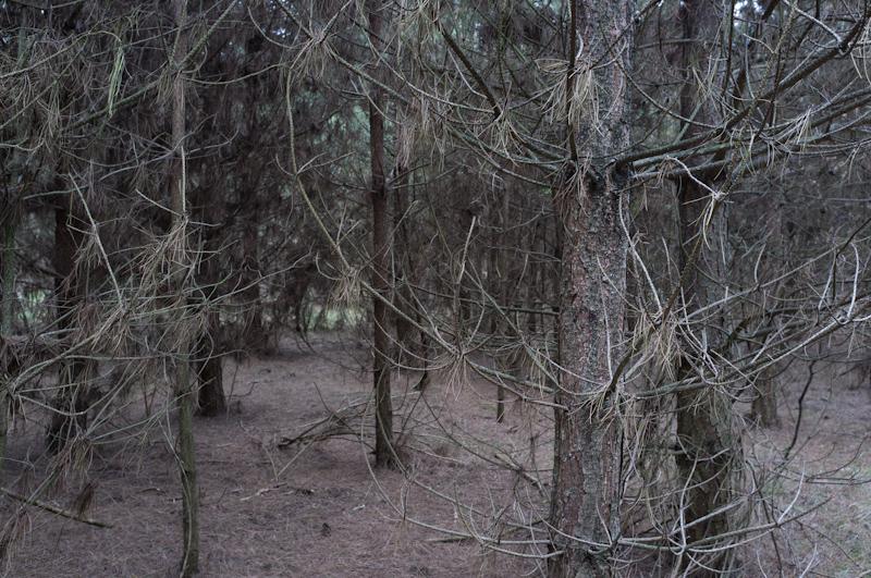
Once I arrived, I left the town by the main road and walked a short distance before following a public footpath uphill into the woods. There's actually a lot of woodland in the area, mostly plantations on or near old quarries.
There was a sudden rain-shower; unusually, I had brought a raincoat. I didn't have to wear it for very long because the sun came out quarter of an hour later.
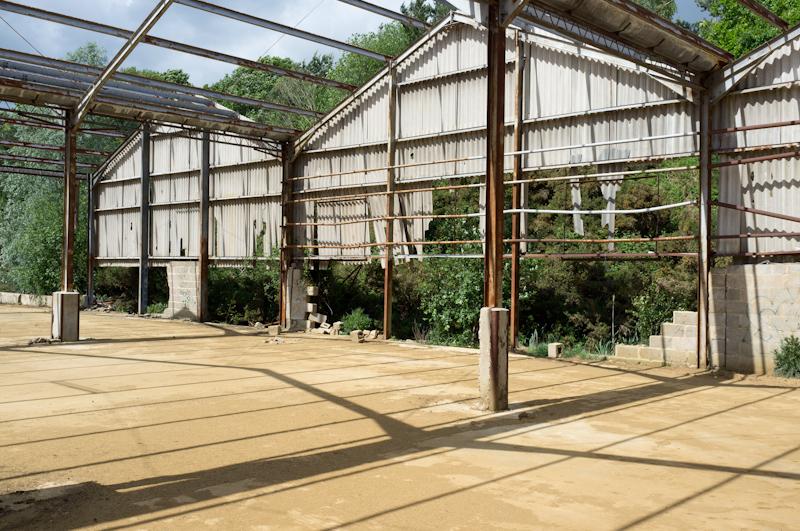
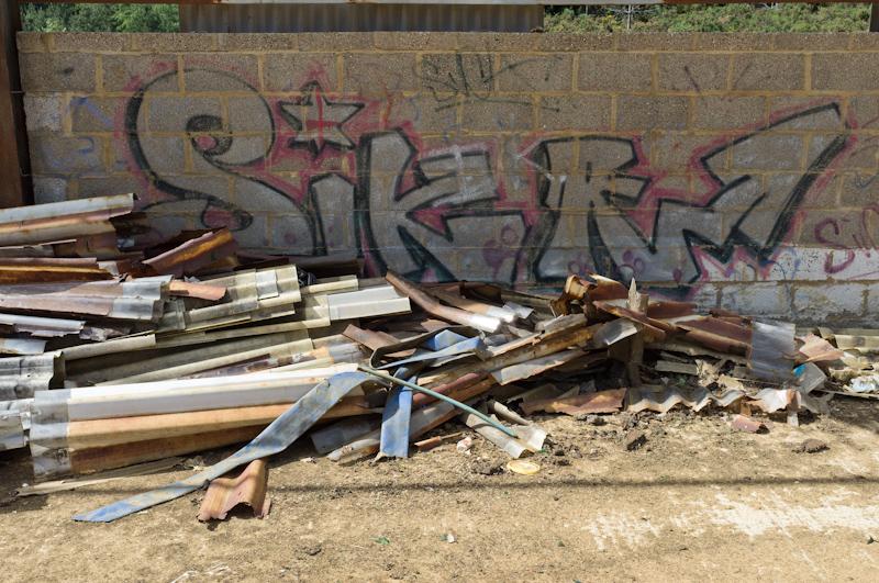
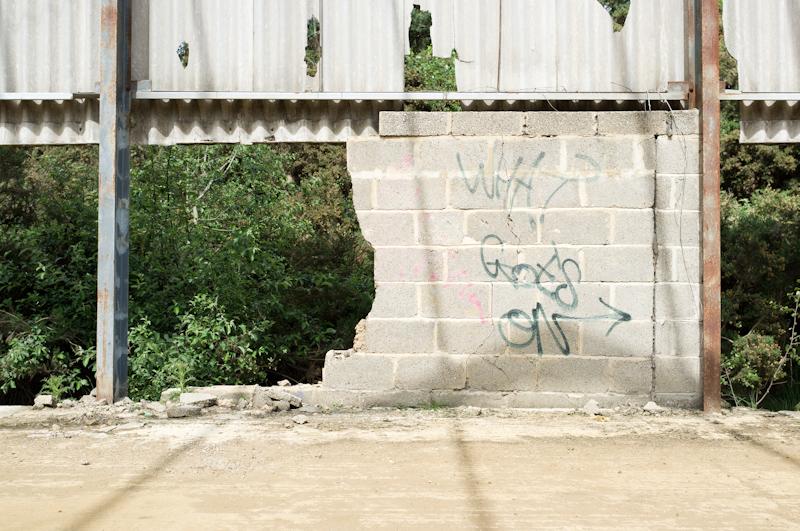
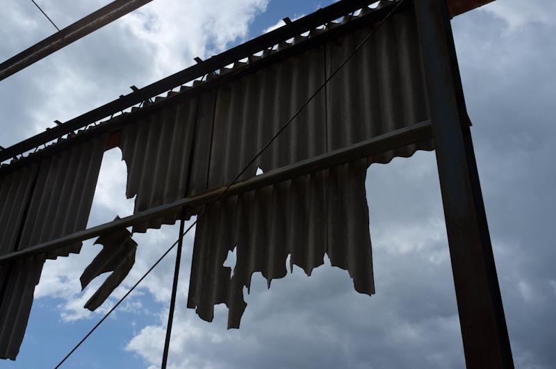
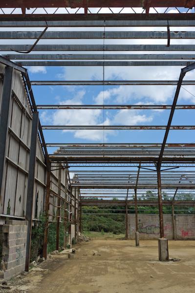
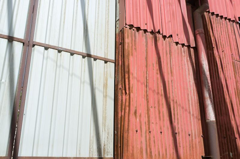
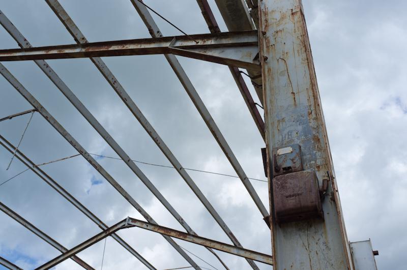
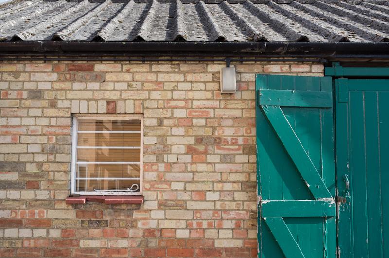
Big shed
My first vague destination was a bit on the map where it said 'disused workings' and looked like a building. I wasn't sure if it would really be there, but it was! While not exactly the most exciting abandoned building in the world (and certainly not the best-roofed one), it wasn't even fenced off and there was a convenient path leading directly there.
I presume this used to be related to the sand quarry in some way, but who knows; not like there's a lot to distinguish it.
By the way, should you ever go out this way, I recommend having a cold like I did; the building currently hosts large piles of something that smelled (faintly, in my case) like manure.

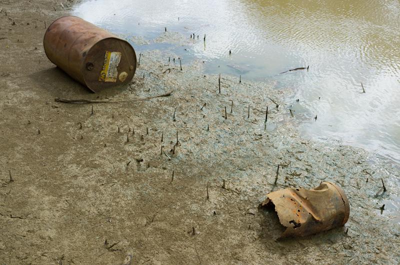
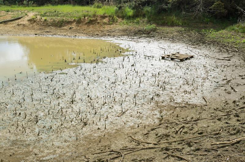
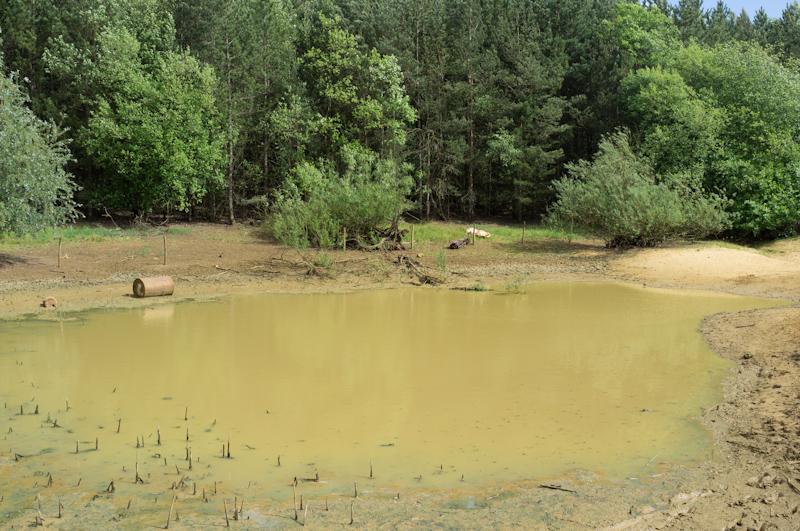
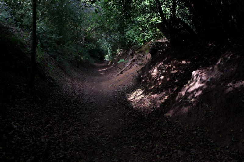
Mermaid's Pond
I'll be honest: this isn't really Mermaid's Pond. There actually is something called Mermaid's Pond marked on the map, just a little further on in the woods. I tried to find that too, but must have gone the wrong way or something; anyway I didn't see it. The mermaid is well-hidden.
But it would be totally awesome if this pond were called Mermaid's Pond, so let's pretend.
Across the road
After passing through woodland and failing to find the mermaid, I emerged to cross a small road, then walked along a footpath in farm fields for a short distance. Eventually I got back to the main road, crossed it, and walked uphill on the other side. There's a large area of forested ex-quarry there.

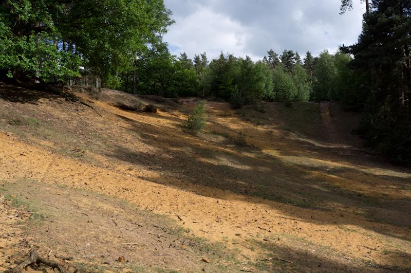
Sandpit
Within this area, near Aspley Heath, there's a sandpit which has apparently been a recreation ground for local children since 1939. Before that it was common land that local people could use if they needed sand for building materials. Anyway, it's quite neat.
Aspley Heath
From the sandpit, I walked along Sandy Lane (actually a lot less sandy than some of the other paths I'd taken) and Narrow Path (not terribly narrow) to reach the road in Aspley Heath, which is basically just the south end of Woburn Sands.
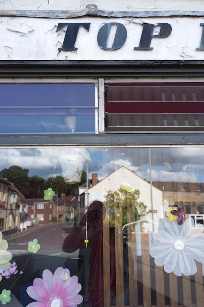
Woburn Sands
The buses on Sunday are hourly and I managed to arrive with 58 minutes to wait (and on the one occasion when it wasn't late). 58 minutes is considerably more than enough to experience all that Woburn Sands has to offer. There are a few interesting shops though.

That was it, my bus turned up at last and I went home.