Winnersh Triangle to Reading

Introduction

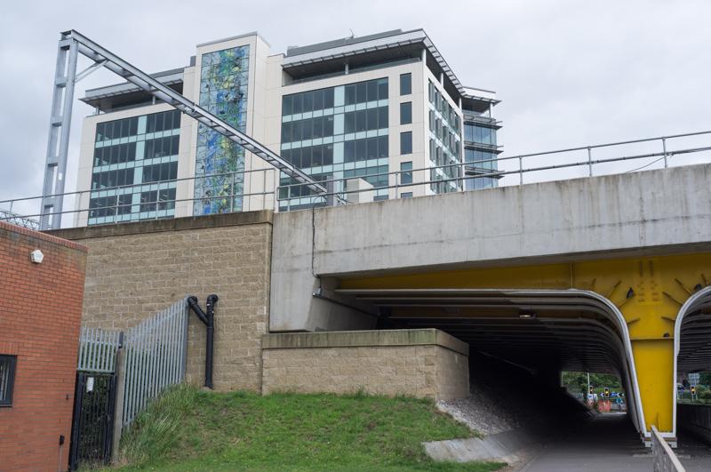
My parents and I wanted a walk that was easy to get to, so we came up with this one. Winnersh Triangle is a railway station on the line between Staines and Reading, which seems to have been built for an office complex of the same name. From there, the River Loddon runs to the Thames. We decided to follow the paths that run by or near it.

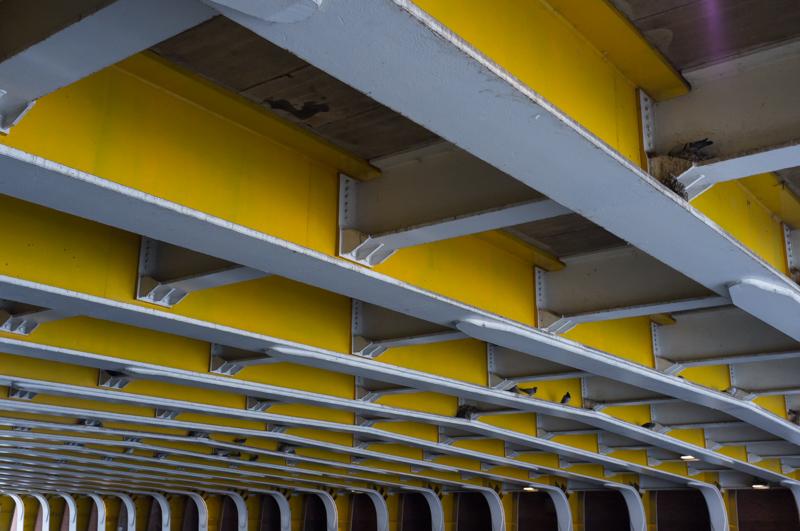
Starting from the railway station we had to walk along a major road for a short distance until we reached the river by an ugly multiplex cinema.
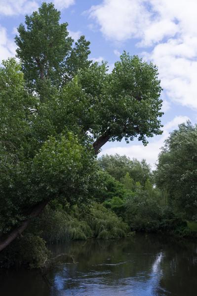
This place clearly wants you to know that they sell hot tubs.
1/250 at f8, 23mm, ISO200 51°26′12″N 0°53′55″W

River Loddon

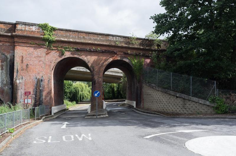
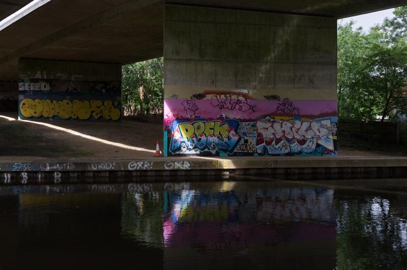
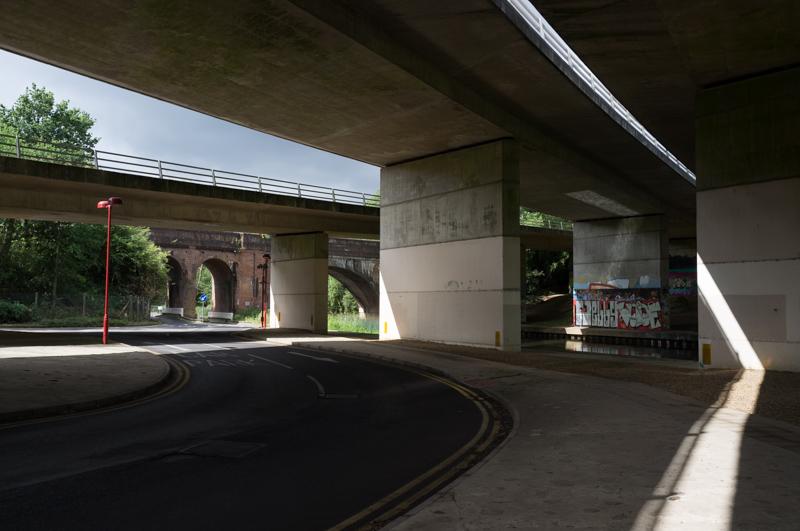
We met the river at the point where the railway and the A3290 both cross it.

Railway bridge.
1/500 at f8, 23mm, ISO200 51°26′16″N 0°53′58″W
Road bridge (and arrow). DOCK, CHILD (?) on top of the graffiti.
1/250 at f8, 23mm, ISO200 51°26′18″N 0°53′55″W
Road and rail bridges. Graffiti in background NELLY and possibly GOOF.
1/250 at f8, 23mm, ISO200 51°26′20″N 0°53′51″W

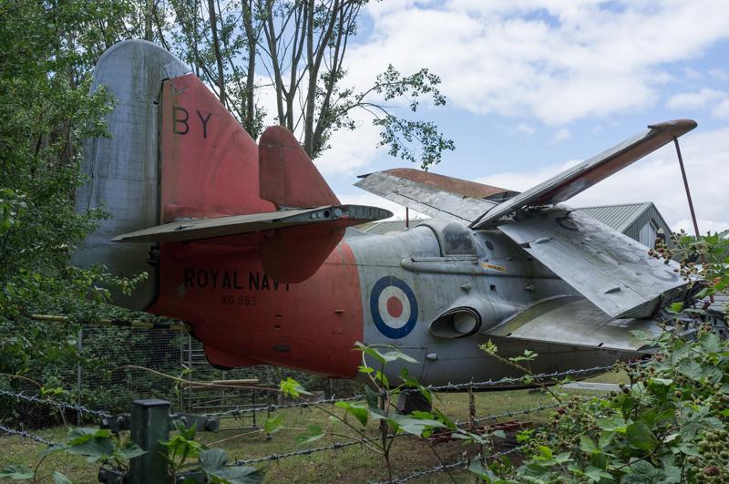
We followed the riverside path for a bit until it diverged from the river and took us past, bizarrely, the Museum of Berkshire Aviation. I had assumed this was probably a slightly misnamed aviation museum that just happens to be in Berkshire, but it really is about aviation within the county; it’s on part of the site of a former airfield and aeroplane factory. (The rest of the site has mostly been turned into enormous housing estates, naturally.)

Origami aeroplane. (Not sure I‘d bet on this one escaping the Winnersh Triangle.)
1/1000 at f8, 23mm, ISO200 51°27′2″N 0°53′0″W
Pillbox (sealed up) by museum.
1/30 at f8, 23mm, ISO200 51°27′3″N 0°52′52″W

By an old mill (now a large house) we rejoined the riverside path.

River near mill.
1/500 at f8, 23mm, ISO200 51°27′1″N 0°52′40″W
Road bridge over river.
1/500 at f8, 23mm, ISO200 51°26′59″N 0°52′38″W
Emm Brook (from left) joins the River Loddon.
1/125 at f8, 23mm, ISO200 51°27′10″N 0°52′34″W

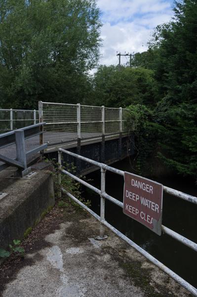
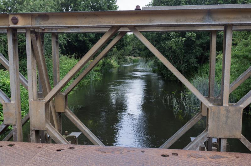
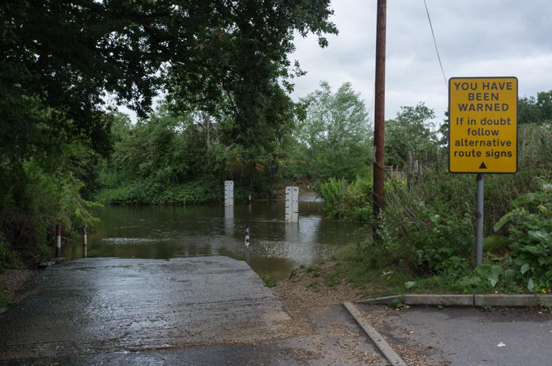
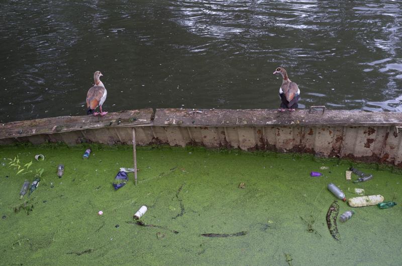
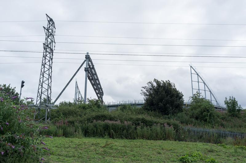
Apart from aeroplane manufacture, the main local industry appears to have been gravel extraction. There were numerous lakes in the area as a result.

And some nice quarry-style bridges.
1/125 at f8, 23mm, ISO200 51°27′47″N 0°51′57″W

After some distance we had to leave the river, following a minor road for a short way then crossing a field with horses and a footbridge, finally arriving at a pub.

Lands End? Well, kind of...
1/500 at f8, 23mm, ISO200 51°28′1″N 0°52′34″W

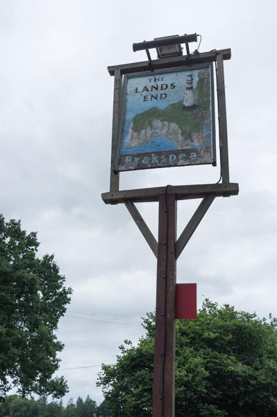
After stopping in the pub for a quick drink, we went to admire the end of the land.

It‘s a ford. I like the ’You have been warned‘ sign.
1/250 at f8, 23mm, ISO200 51°28′1″N 0°52′31″W
Certainly doesn‘t look like one to walk through.
1/250 at f8, 23mm, ISO200 51°28′1″N 0°52′33″W

After getting slightly lost (I had incorrectly guessed there would be a way to pass through a small housing estate), we managed to cross the New Bath Road and walk down a long semi-surfaced road named Milestone Avenue. One side of the road was occupied with large expensive houses, some of which had names while others had (inconsistent) numbers.

End of the road.
1/250 at f8, 23mm, ISO200 51°29′8″N 0°53′52″W

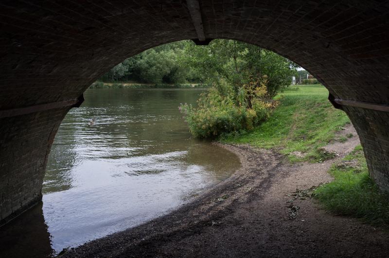
We then followed a footpath to the Thames, where we stopped to eat our lunch. This section is on the opposite bank from the Thames Path, and was relatively empty by comparison.

Ducks and scum.
1/125 at f8, 23mm, ISO200 51°28′41″N 0°54′35″W

Sonning

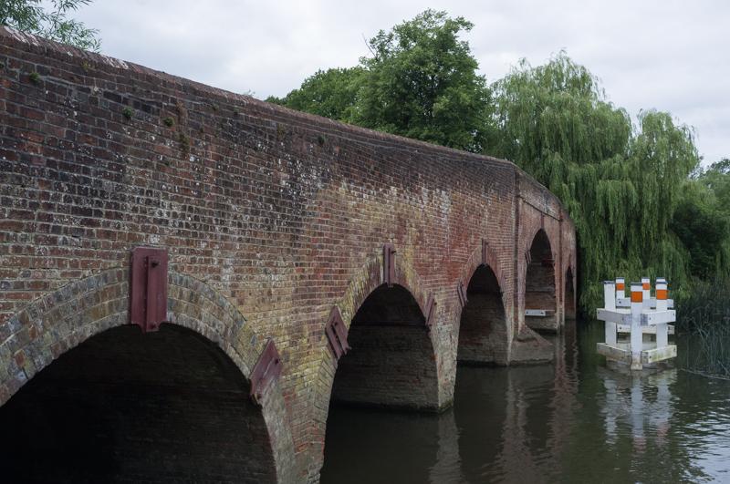
The path approached Sonning.

Bent by the power of the mind by the Erhlich Brothers. Apparently.
1/125 at f8, 23mm, ISO200 51°28′37″N 0°54′36″W
And this is Uri Geller‘s house. Nice sign.
1/500 at f8, 23mm, ISO200 51°28′36″N 0°54′37″W
Sonning Bridge.
1/500 at f8, 23mm, ISO200 51°28′32″N 0°54′47″W
The bridge from the inside.
1/125 at f8, 23mm, ISO200 51°28′32″N 0°54′47″W

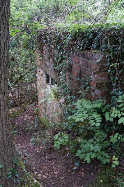
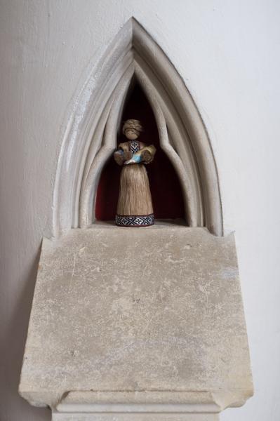
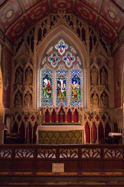
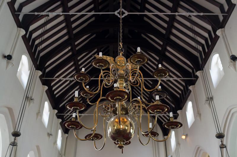
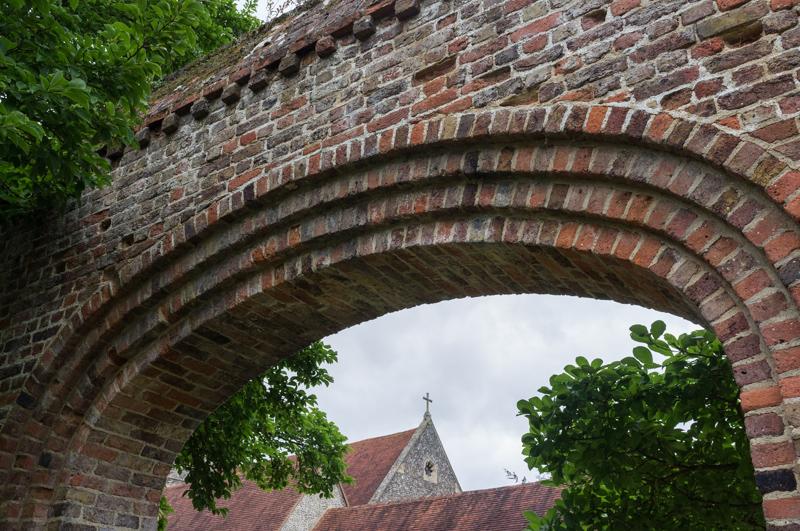
We went to admire the church, which is near the site of an old Bishop‘s Palace (of which nothing remains).

Strange grille in wall.
1/60 at f8, 23mm, ISO200 51°28′28″N 0°54′46″W
Doll in church pillar.
1/30 at f2.8, 23mm, ISO800 51°28′28″N 0°54′46″W
Altar and stained glass.
1/30 at f4, 23mm, ISO200 51°28′27″N 0°54′47″W
Chandelier with angel.
1/15 at f2.8, 23mm, ISO800 51°28′27″N 0°54′47″W
Nice wall.
1/125 at f8, 23mm, ISO200 51°28′26″N 0°54′48″W
Commemorative gateway built in 1948 from bricks of bombed London houses.
1/125 at f8, 23mm, ISO200 51°28′25″N 0°54′46″W

Thames Path

The rest of our walk followed the Thames Path back to Reading, past the grounds of the Reading Blue Coat private school and then through riverside parkland, with large office buildings in the background.

Arrows on the trees. (Up then left, apparently.)
1/30 at f4, 23mm, ISO200 51°28′8″N 0°55′14″W
Gasholder behind railway line.
1/500 at f8, 23mm, ISO200 51°27′32″N 0°56′46″W
Nice orange lifeboat.
1/500 at f8, 23mm, ISO200 51°27′32″N 0°56′55″W

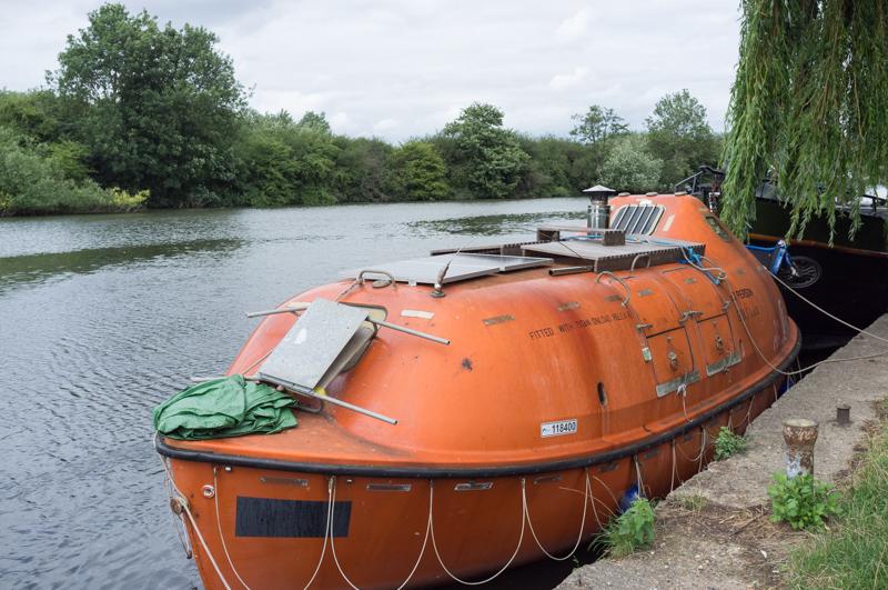
The River Kennet (with the Kennet and Avon canal) joins the Thames at Reading.

Bridge over Kennet mouth (1).
1/500 at f8, 23mm, ISO200 51°27′31″N 0°56′58″W
Bridge over Kennet mouth (2). ’To dare to dream‘.
1/500 at f8, 23mm, ISO200 51°27′31″N 0°56′59″W

Reading

Reading Bridge is being repaired, and the towpath is closed as a result. We left the Thames slightly early by the lock, then walked the short distance to the station.

Empty overhead gantry. Aren‘t they supposed to be electrifying this line?
1/125 at f8, 23mm, ISO200 51°27′33″N 0°58′5″W
What a nice yellow railway bridge.
1/60 at f5.6, 23mm, ISO200 51°27′33″N 0°58′5″W

All images © Samuel Marshall. All rights reserved.