Introduction
My mum and I are walking parts of the Grand Union Canal. On 8 March 2008, we walked a section from Willesden Junction station to Hayes and Harlington station.
This had been delayed a week because Mum didn't feel well last time. Unfortunately the weather was less good: uniformly grey and dull.
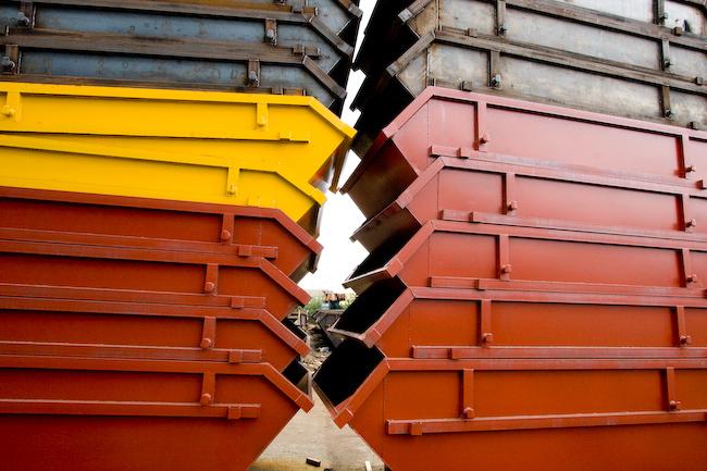
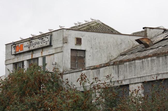
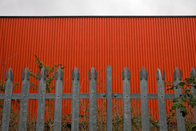
Acton industrial estates
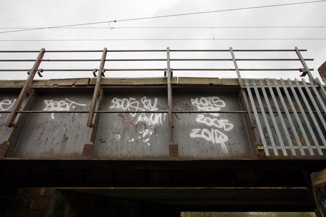
We began from the station (which is where we'd ended the previous canal walk), checking Mum's OS map for the route back to the canal. Quickly we began to remember things from last time and in no time at all we had reached the bridge and walked down to the towpath...
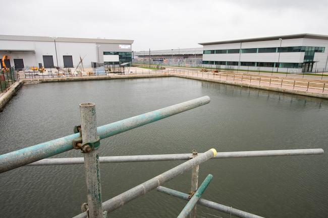
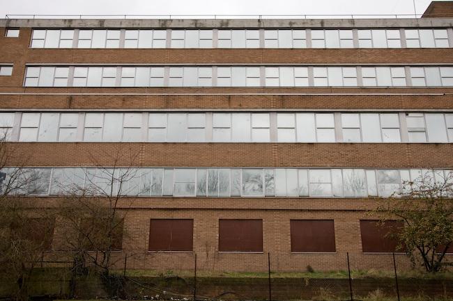
...to find that the section we wanted to start on was closed for maintenance work. GAH.
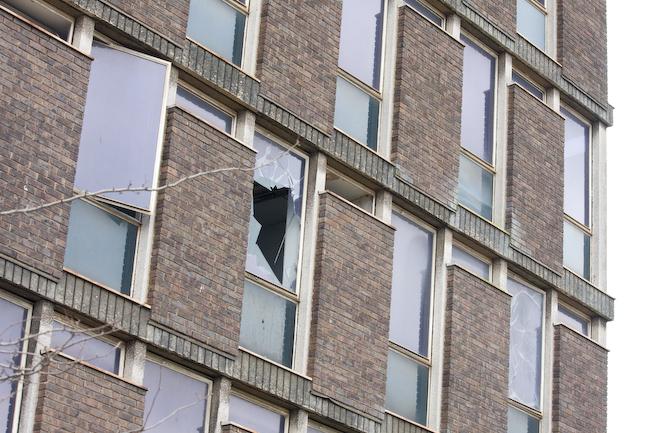
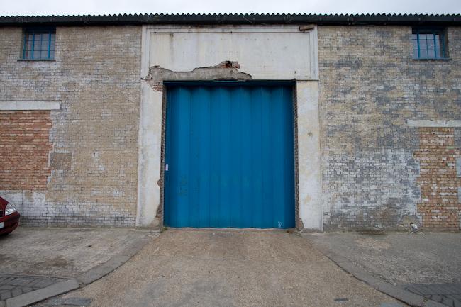
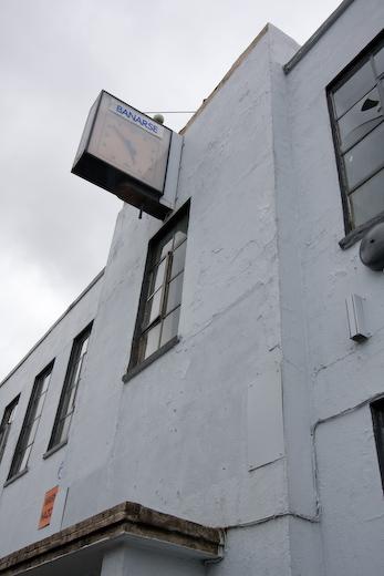
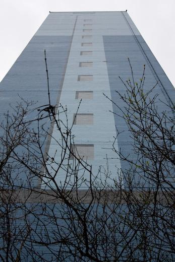
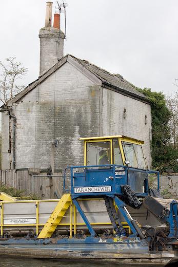
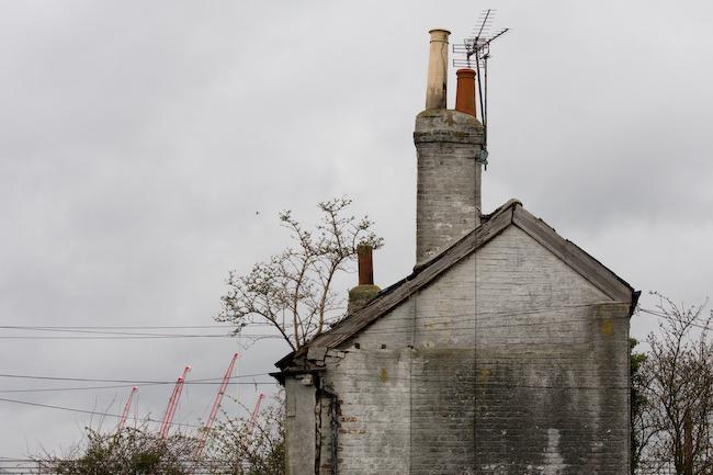
After standing around for a bit on a convenient concrete platform beside an abandoned office block, we planned a route which would take us back to the canal at the next bridge.
It was a bit difficult to work out the route, because even the large-scale OS map wasn't much use: it didn't have street names. Of course, if we'd been planning to walk along roads we would have brought an A-Z, but we weren't. We wanted to walk along the canal. You don't really need any kind of map for that! Sigh. We set off along the main road.
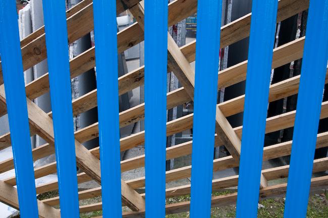
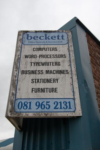
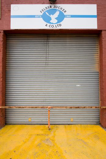
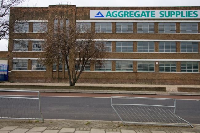
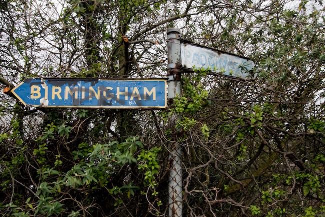
Before long it became clear that we were lost. Luckily, London comes provided with convenient maps of the local area every few hundred metres along major roads - every bus stop has one. (If you're ever lost in London, this is the solution. Well, okay, a better solution would be to bring a map.) We found we'd almost walked to North Acton tube, where we didn't want to be, but managed to come up with a revised route through various industrial estates.
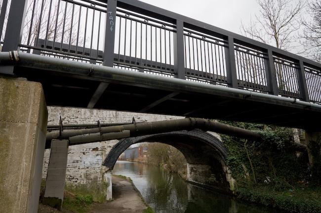
The canal
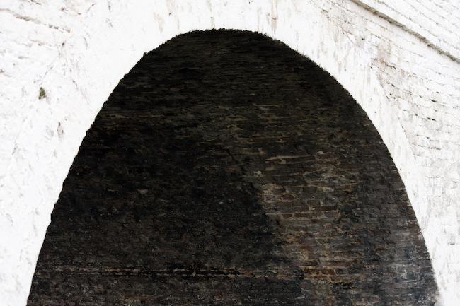
Eventually we reached the canal, by a bridge one further on than we'd intended. This turned out to be a good thing since the towpath closure extended to this point. (Although, as the work finishes in February 2008, that shouldn't be a problem. Hmm.)

Lunch
We ate lunch at a rickety picnic table in a small park on the other side of the canal where you can get boat rides (from Easter onward). There's a large pirate ship for kids to climb on, although I resisted as there were other people around. All the benches and play equipment also have some kind of nautical theme.
We were a bit concerned about our lack of progress, since it seemed like quite a way to the destination. However now that we had reached the canal, progress was actually very fast: most of the time you're walking in a straight line, on completely flat ground, on a good path.
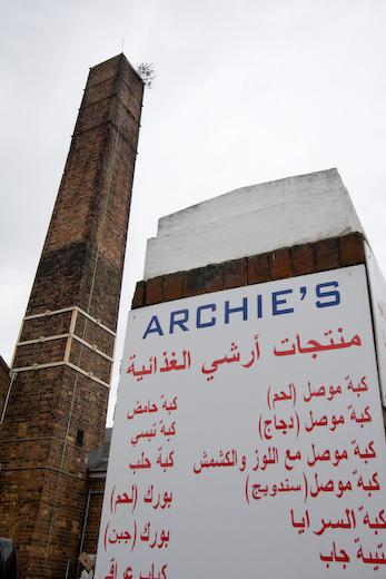
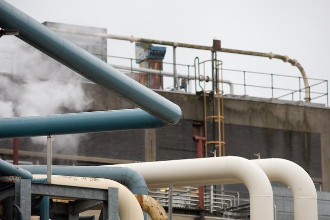
It was a good thing we'd eaten lunch because the smells from nearby industry would have made us hungry. We were approaching Southall and, stereotypically, there seemed to be at least one factory making curry.
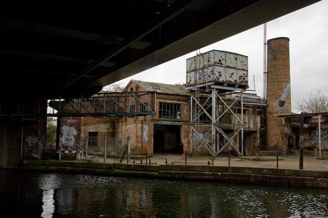
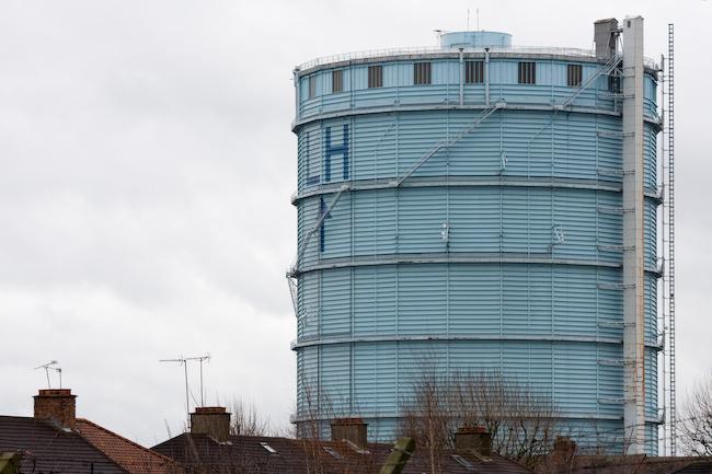
Southall Gasworks
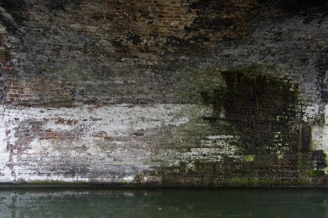
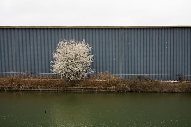
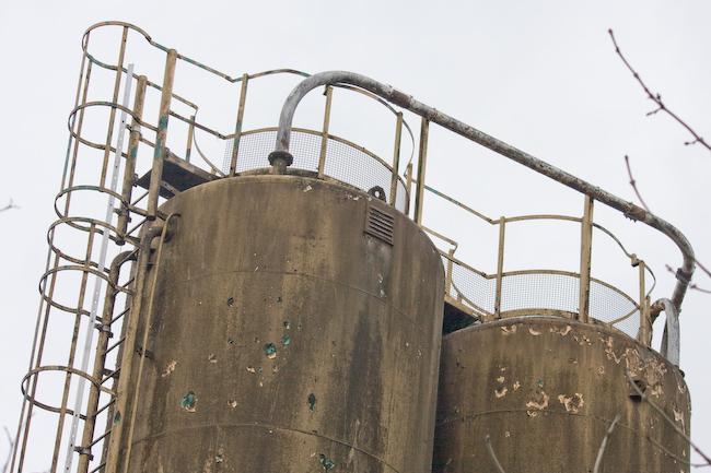
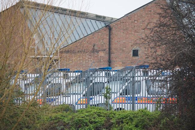
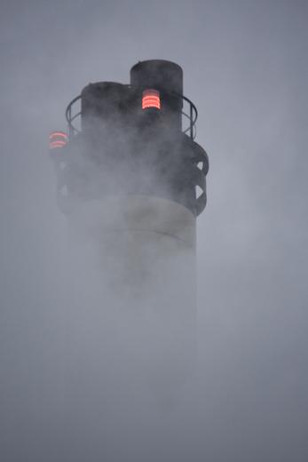
For a long time we walked by the border of Southall Gasworks, which had a tall brick wall (looked about to fall over in places, already had fallen over and been replaced in others) topped with a solid steel fence topped with razor wire. We were intensely curious as to what might be inside, but never got to see. Checking on Google afterward revealed that it's extremely boring anyway; apart from the few gasholders that remain on the site, it's used for secure parking.
Bull's Bridge Junction
We reached a canal junction where the branch of the canal we'd been following (the Paddington arm, I think) joined another branch coming from Brentford and continuing on northward.
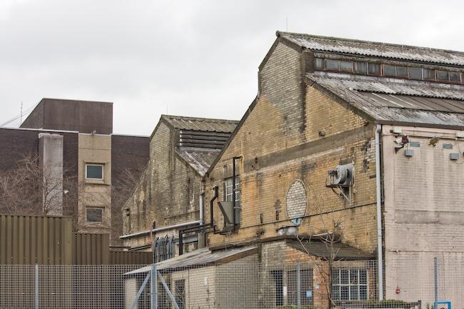
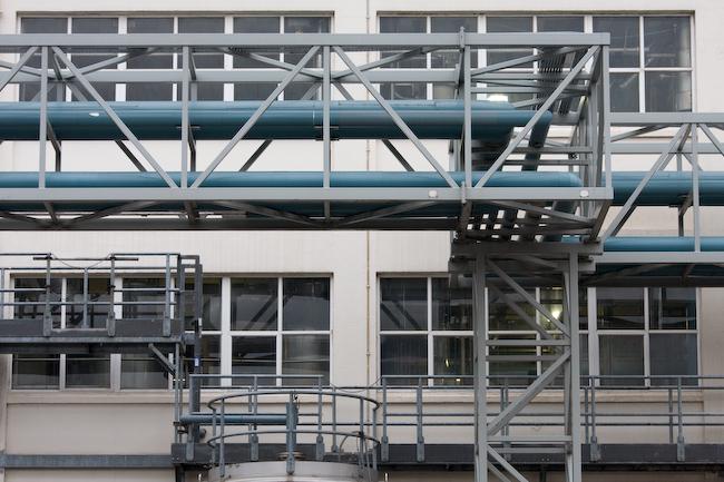
Nestlé factory
When they aren't eating Third World babies, Nestlé produce various foodstuffs, and a large factory complex by the Grand Union is one place they do so.
That's it
We walked along one last section of the towpath, the side of which was absolutely littered with beercans. A group above chucked down another can a little way from us, a hole pierced in its side to make a fountain of spray, which was mildly amusing (they weren't particularly threatening). Climbing up to the bridge nearby, I noticed a sign about how this was a 'controlled drinking area' where police had extra powers blah blah... that's obviously working well, then. :)
Hayes and Harlington rail station was only a short walk and our train came right away. At Southall, a group of three girls sat opposite us; two wore normal headscarfs but one was in the full veil (everything covered except eyes), which was a bit novel for me - you don't see people dressed like that in Milton Keynes. (Then again, they probably don't have concrete cows in Southall.) Anyway, the journey went without incident and after the twelve mile walk, I managed to cycle the four and half miles back home before my legs stopped working. :)