Tring to Wigginton

Introduction

Some time ago, R found a short circular walking route from Tring station, and we decided a sunny day in January was a good opportunity to give it a try.

Ridgeway

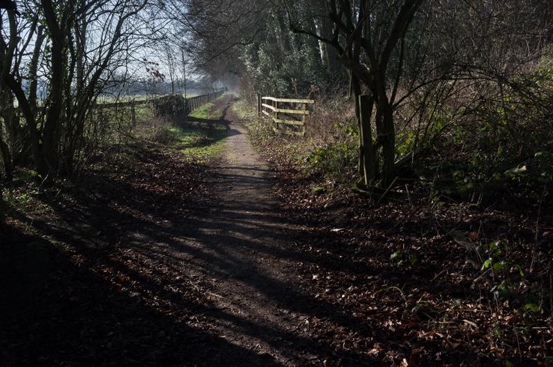
The walk began along the route of the Ridgeway.

Looking back at a humpback hedge.
1/250 at f8, 23mm, ISO200 51°47′52″N 0°37′33″W
Tree shadows across the fenced path.
1/500 at f8, 23mm, ISO200 51°47′44″N 0°37′41″W
Gate into a field with horses.
1/500 at f8, 23mm, ISO200 51°47′43″N 0°37′42″W
Gate into a field without horses.
1/800 at f8, 23mm, ISO200 51°47′38″N 0°37′48″W
Bridge over the A41 main road.
1/1000 at f8, 23mm, ISO200 51°47′29″N 0°38′6″W

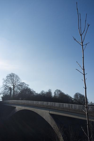
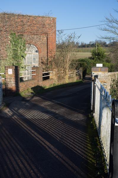
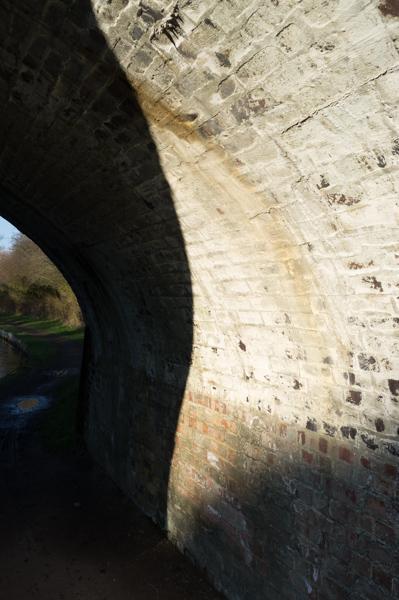
The bridge is relatively exciting because it slopes, which is unusual - not just in an arch, but one side is significantly higher than the other.

Sun through trees on a field boundary.
1/500 at f8, 23mm, ISO200 51°47′24″N 0°38′11″W
Three sheep.
1/500 at f8, 23mm, ISO200 51°47′19″N 0°38′18″W
Tree trunks.
1/125 at f8, 23mm, ISO200 51°47′13″N 0°38′29″W
Shadows at the edge of a wood.
1/125 at f8, 23mm, ISO200 51°46′59″N 0°38′44″W

Wigginton

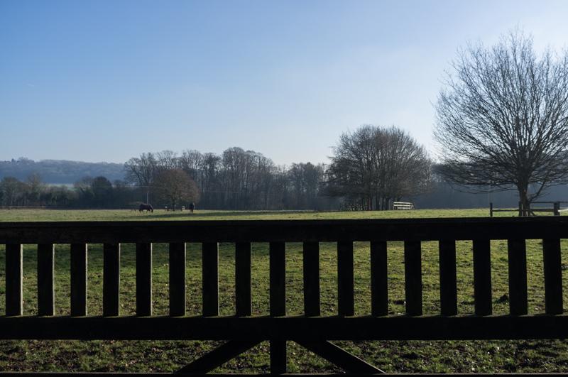
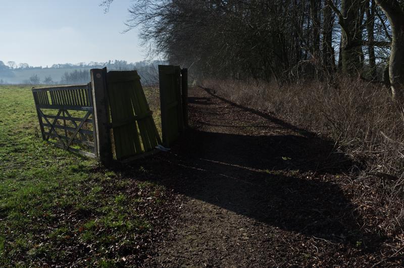
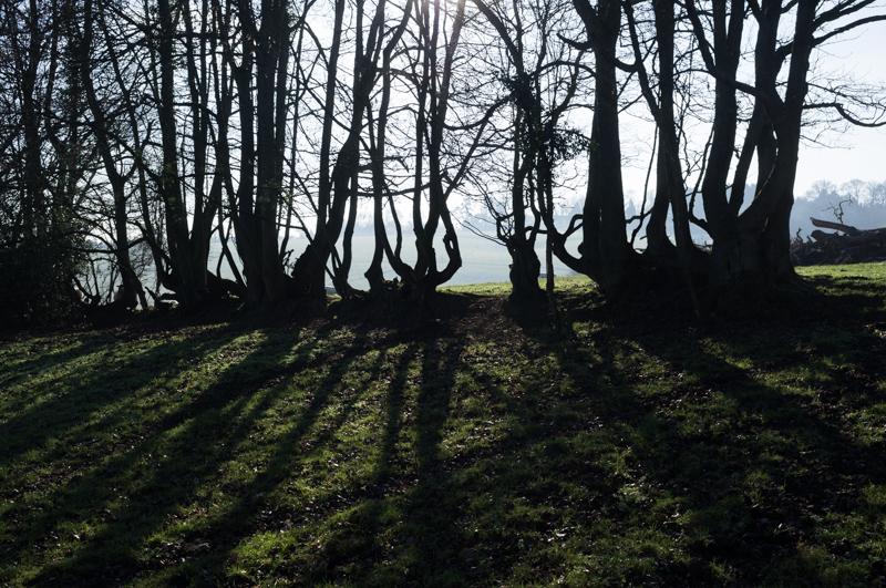
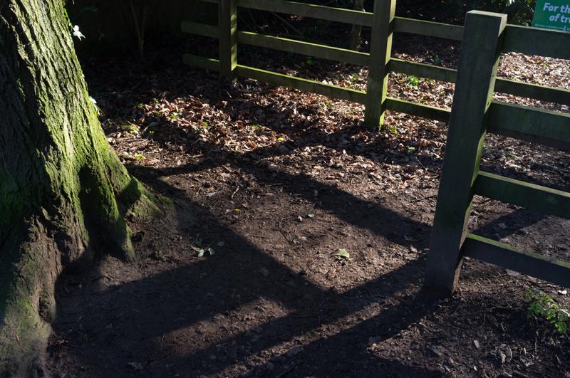
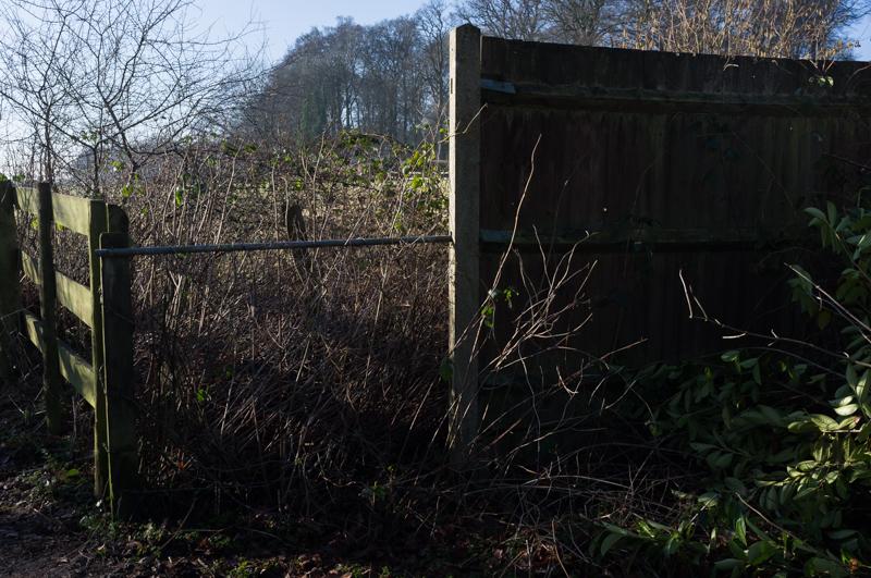
Near the village of Wigginton, our route left the Ridgeway and circled the village.

Fence shadows on undergrowth.
1/250 at f8, 23mm, ISO200 51°46′55″N 0°38′46″W

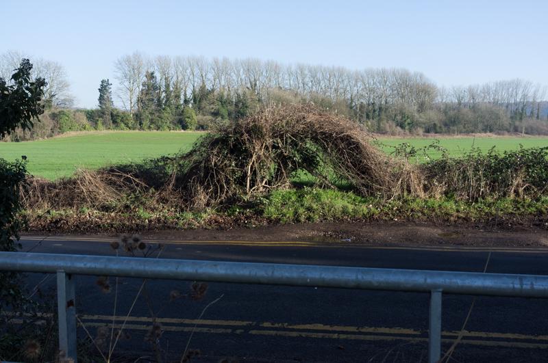
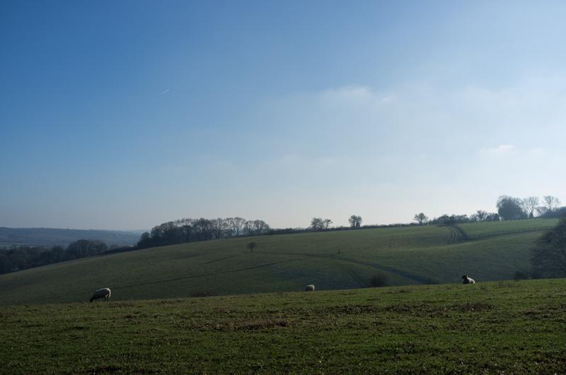
The path continued toward Cowroast, which is a sort of place, although there’s not much there except a pub (shut down), several car dealerships, and a marina. It has a silly name; allegedly this is a corruption of ‘cow rest’, meaning there was actually a short reprieve for the cows in the form of pens and grazing land, as they were being driven through the country to market (and, presumably, eventual roasting).

Rugby field with a very large tyre.
1/400 at f8, 23mm, ISO200 51°46′49″N 0°37′0″W

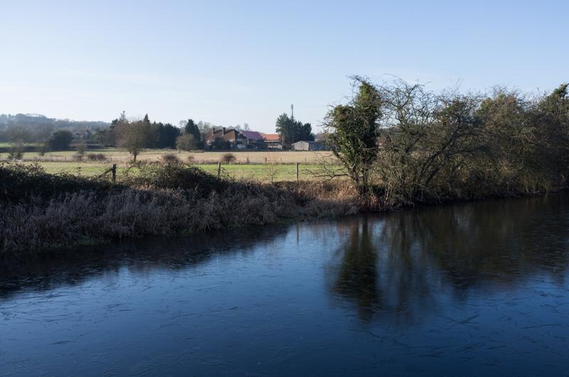
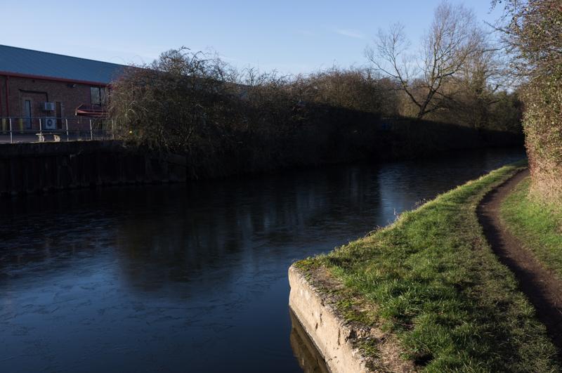
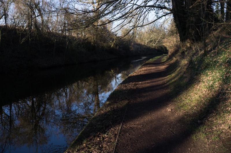
Cowroast is at one end of a long, high section of canal that runs through Tring. In order to avoid losing all the water from this section as boats went through locks into the lower-down levels either side, they had to pump water back up; there is a small pumping station by the lock.

Pumping station at Cowroast Lock (1).
1/500 at f8, 23mm, ISO200 51°47′0″N 0°36′42″W
Pumping station at Cowroast Lock (2).
1/500 at f8, 23mm, ISO200 51°47′0″N 0°36′42″W

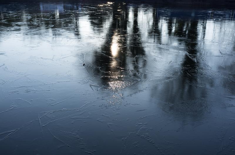
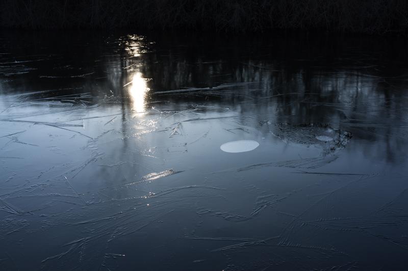
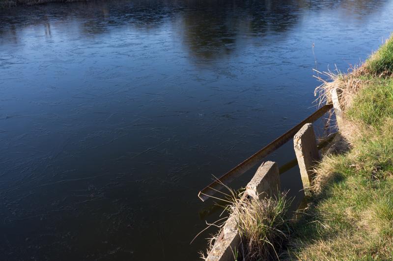
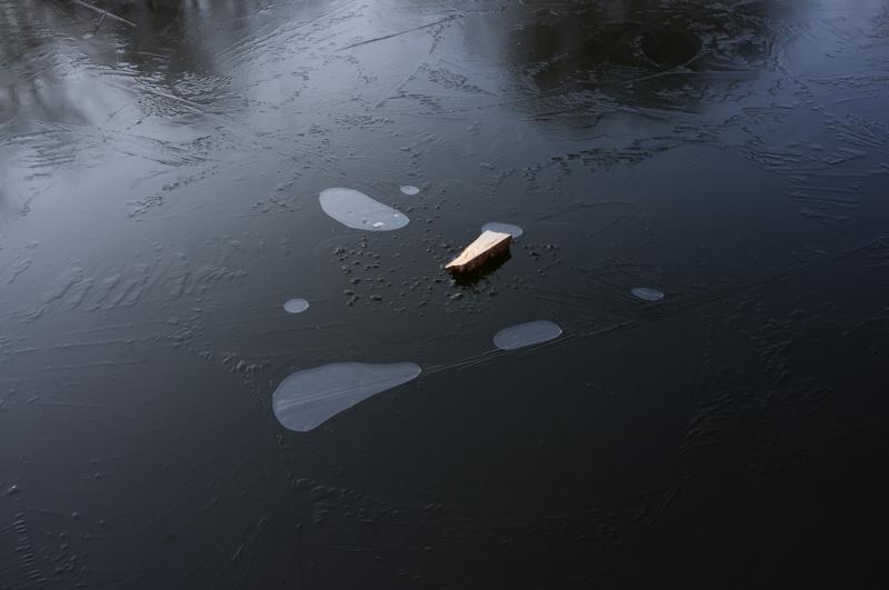
The day was cold but above freezing - we hadn’t seen ice elsewhere, but the canal was iced over in most of the sheltered parts.

Reflections and ice (1).
1/250 at f8, 23mm, ISO200 51°47′3″N 0°36′47″W
Reflections and ice (2).
1/250 at f8, 23mm, ISO200 51°47′12″N 0°36′56″W
View across canal.
1/250 at f8, 23mm, ISO200 51°47′14″N 0°36′57″W
The edge of the canal.
1/250 at f8, 23mm, ISO200 51°47′16″N 0°36′58″W
Shadow on a bridge.
1/250 at f8, 23mm, ISO200 51°47′22″N 0°37′4″W
Ice, air bubbles, and a small piece of wood.
1/60 at f8, 23mm, ISO200 51°47′27″N 0°37′8″W
A redeveloped canal wharf, which was used as an food distribution depot during World War 2.
1/250 at f8, 23mm, ISO200 51°47′30″N 0°37′12″W
Tree shadows as we approach Tring station.
1/200 at f8, 23mm, ISO200 51°47′37″N 0°37′16″W
Hotel (now a private house) by Tring station.
1/1000 at f8, 23mm, ISO200 51°48′1″N 0°37′25″W

And that’s all! It was a very nice short walk for a winter’s day.

All images © Samuel Marshall. All rights reserved.