Thames Path: Reading to Pangbourne

Introduction

On New Year's Day 2010, Mum and Dad and I did one more stretch of the Thames Path, this time from Reading to Pangbourne.

Reading

Reading is a large town but without much of interest (sorry Reading). After a quick look at a war memorial with a giant lion statue on top of it, we headed straight to the river and began the walk.

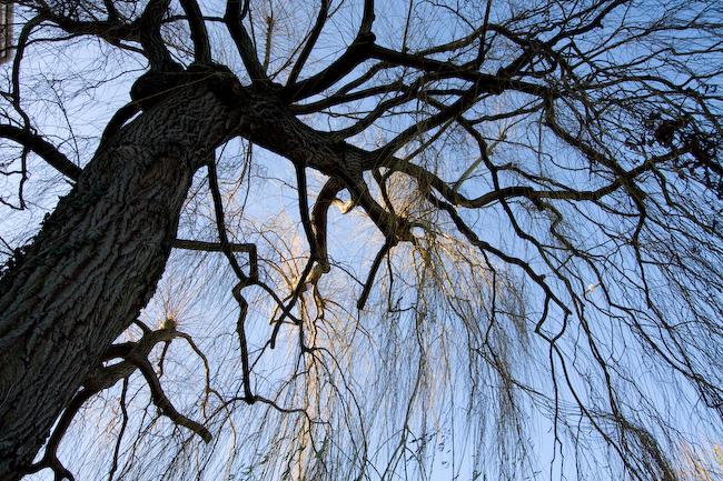
Tree by riverside office buildings. (I think these were trailed in the 50-year-old guidebook we were using as 'a mile of ugly factories', which we would have been looking forward to if we hadn't already realised the chances of their survival were nil.)
1/125 at f8, 15mm, ISO200 51°27′48″N 0°58′26″W
Reading Bridge.
1/250 at f8, 16mm, ISO200 51°27′55″N 0°58′37″W
Roof of large building in riverside park.
1/250 at f9.5, 22mm, ISO200 51°27′58″N 0°58′45″W
Flooded fields.
1/1500 at f8, 22mm, ISO200 51°28′4″N 0°59′29″W

Tilehurst

The riverside path approached Tilehurst (a small town, part of Reading sprawl).

Across the river. I cheated with this picture - a prize* to the first person who guesses what I did to it... (* Not really.)
1/750 at f8, 116mm, ISO200 51°28′2″N 1°0′37″W
Sign, tree, railway embankment. Near here there's graffiti on the brick wall of the embankment: 'Free Stonehenge 85'. It's been a while...
1/90 at f8, 10mm, ISO200 51°28′4″N 1°1′18″W

There is a short section in Tilehurst where you can't actually walk along the riverbank. Pretty rare these days. Looking at it on Google Maps, it seems like the railway runs right along the river edge; maybe the towpath below was washed away or taken into railway land or something. Anyway, we had to cross a railway bridge and walk through suburbia for some distance before crossing the railway again and returning to the 
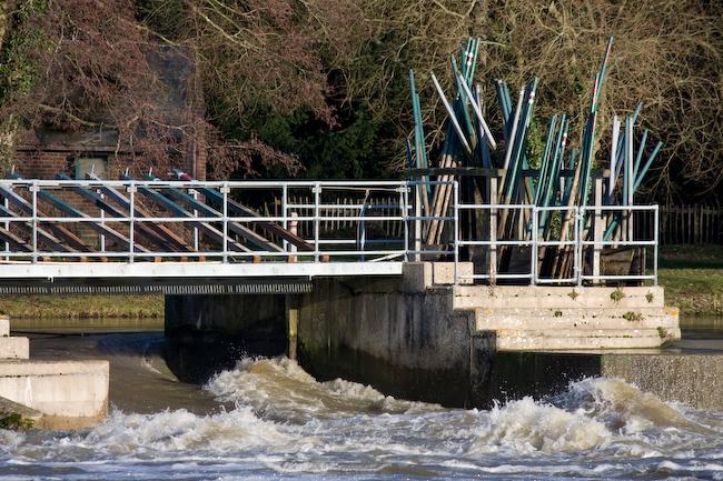
river by a lock, where we sat to have lunch.

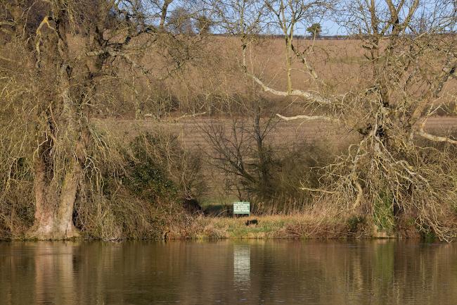
Across the lock, an area was in use for green-pole storage.
1/350 at f8, 250mm, ISO200 51°29′8″N 1°2′23″W
Wooden fence by lock.
1/60 at f8, 90mm, ISO200 51°29′9″N 1°2′23″W
Speed limit sign.
1/750 at f8, 55mm, ISO200 51°29′9″N 1°2′23″W

The lock actually had a small attached café, so bowing to popular demand, we stopped there for a hot drink as well.

Corrugated plastic roof over café seating area.
1/180 at f8, 74mm, ISO200 51°29′10″N 1°2′24″W
Concrete and moss. GPS data says this was taken by the lockside, so I'm guessing this is probably part of the lock.
1/45 at f8, 116mm, ISO200 51°29′11″N 1°2′24″W

To Pangbourne

The rest of the way followed the riverbank as usual.

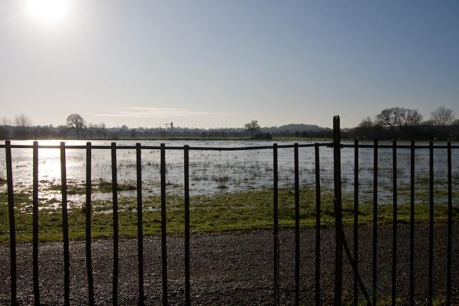
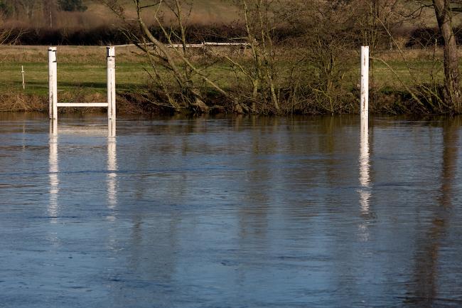
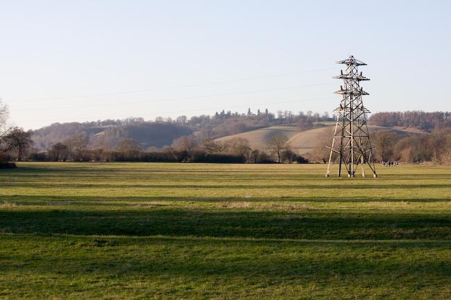
Meadows a short distance past the lock, with mysterious dead-end pylon. (The wires only run on one side. There's a similar pylon opposite; presumably they took the cables under the river instead of over.)
1/250 at f8, 55mm, ISO200 51°29′18″N 1°2′32″W
Across the river. (Sign: 'EAA, strictly private, no mooring, no swimming, private fishing.')
1/350 at f8, 79mm, ISO200 51°29′24″N 1°2′45″W
Pentagonal boathouse.
1/250 at f8, 154mm, ISO200 51°29′31″N 1°3′13″W

Pangbourne

Pangbourne is one side of the river; the other side is Whitchurch.

Whitchurch bridge. This is a privately-owned toll bridge (but you can walk acrosss it for free).
1/90 at f8, 22mm, ISO200 51°29′12″N 1°5′3″W
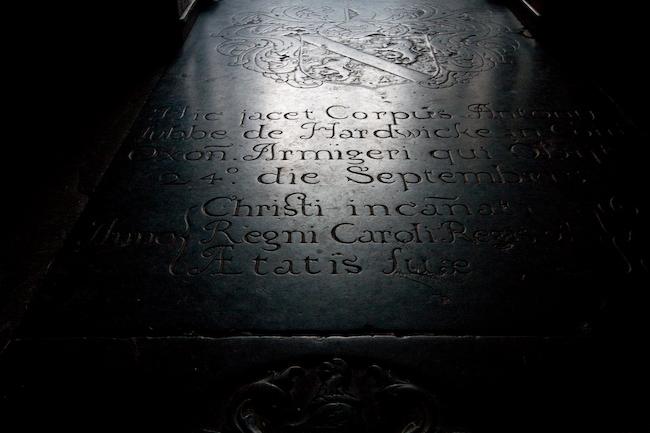
Gravestone in Whitchurch, er, church. (I think the church spire was in the last picture.) I love the lettering ('st' ligature in 'Christi', random squiggles and twists everywhere else). The date is 16-something (part is out of frame).
33434 (0x829a: Exposure Time): 3/10 (0.3) (1 Rational)s at f4.5, 22mm, ISO800 51°29′17″N 1°5′13″W
A pair of rowers on the river at sunset. Black background is because the river turns a corner; there's a hill with trees, I think.
1/180 at f5.6, 250mm, ISO800 51°29′10″N 1°5′23″W
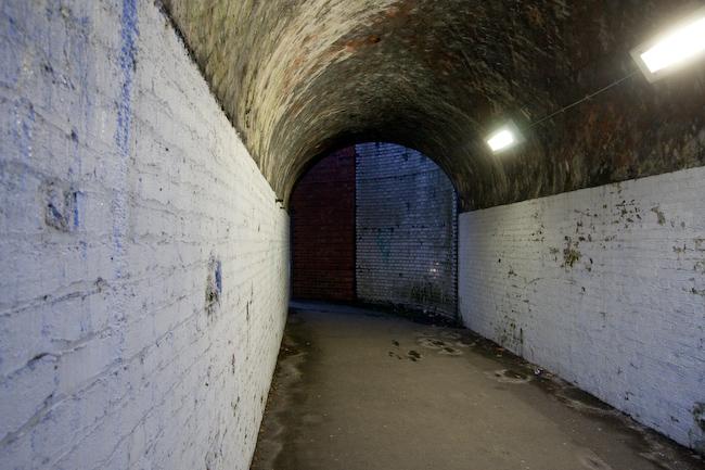
Pedestrian arch under railway overbridge at Pangbourne. We didn't go through here, but I liked the two-tone painting. (Well, painting and not painting.)
1/10 at f4.5, 15mm, ISO800 51°29′6″N 1°5′20″W

And that was it - we got a train back from Pangbourne. But, being gluttons for punishment, we came back the very next day! (To be continued...)

All images © Samuel Marshall. All rights reserved.