Introduction
Mum and I walked the Thames Path from Shillingford to Abingdon, on Easter Saturday.
Shillingford
Shillingford’s a little place with a few fancy old houses and a bus stop, which is where we started.
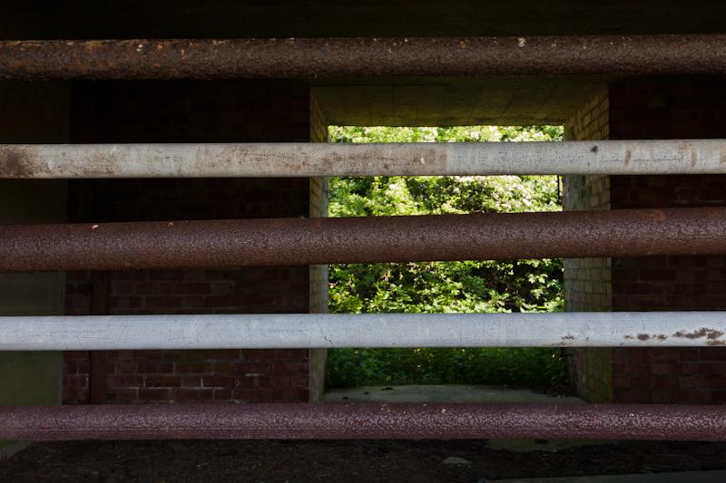
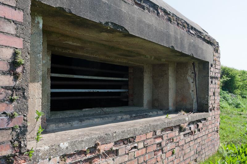
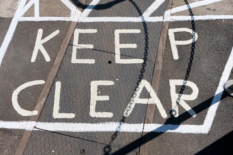
The Thames Path runs along the main road here, and if you’re walking upstream, the signpost that tells you where to turn off isn’t visible (it’s behind a hedge). So we walked twice as far and then back again! The right answer is to turn off about thirty metres before the old pillbox on the left.
Little Wittenham
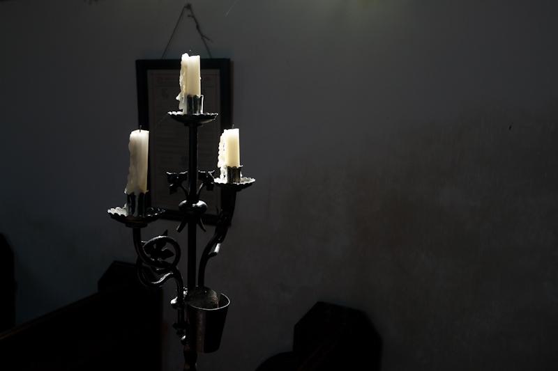
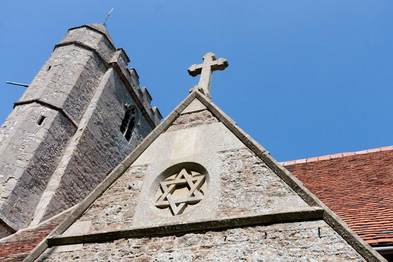
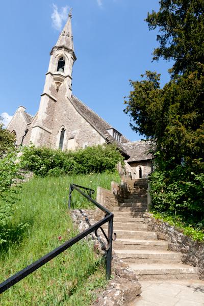
After walking a little way along the river, we made the detour to Little Wittenham (across the river and halfway up a hill). There isn’t a Big Wittenham... but there is a Long Wittenham. Hmm. Anyway, we looked at the extensive manor house and inside the church, where an incredibly posh woman was arranging the flowers.
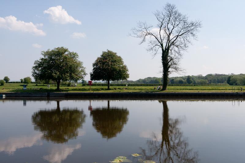
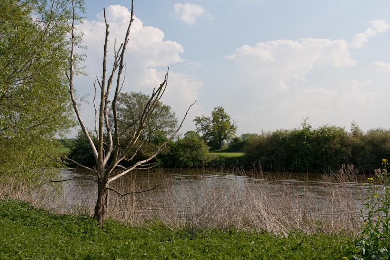
Returning to the river, we crossed the lock and the lock weir to reach a long stretch of pastureland.
Clifton Hampden
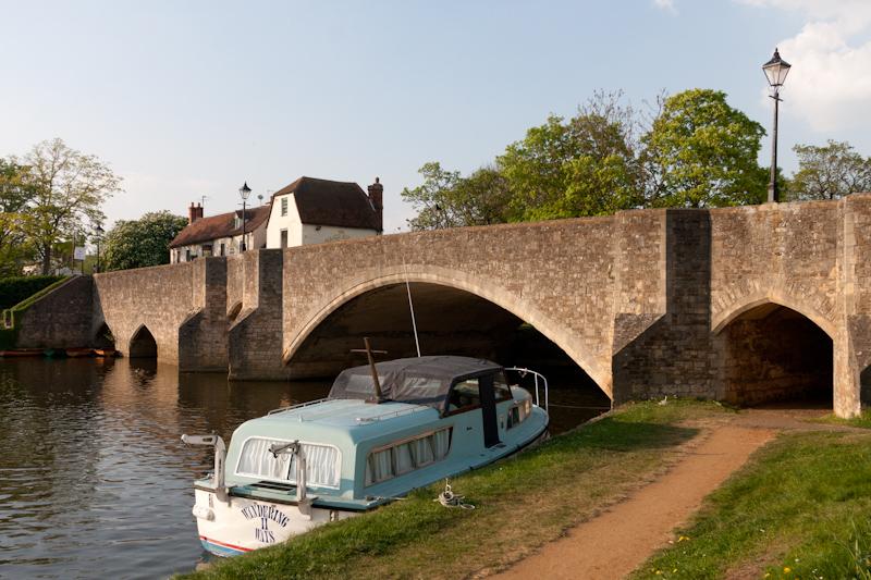
Finally completing that long stretch (after a break for lunch) we reached Clifton Hampden, another tiny village. It was really hot, so we stopped at the Barley Mow pub for a cold drink. That’s supposedly the pub where Jerome K. Jerome wrote ‘Three men in a boat’ (remarkably, a book I’ve actually read).
We then crossed the river for a look at the place. Mum was counting thatched roofs and this village significantly boosted her score.
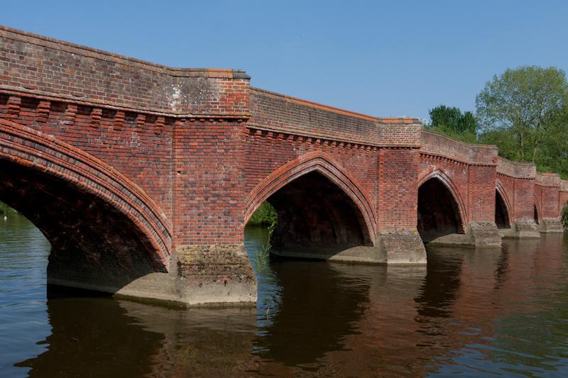
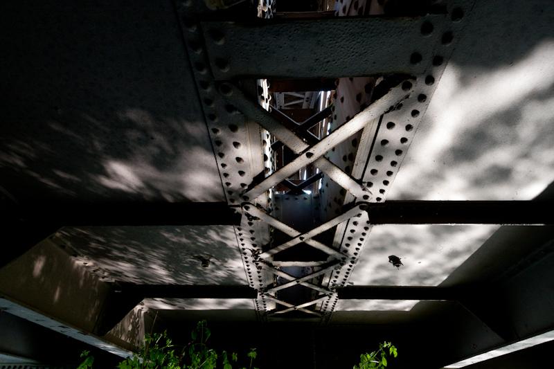
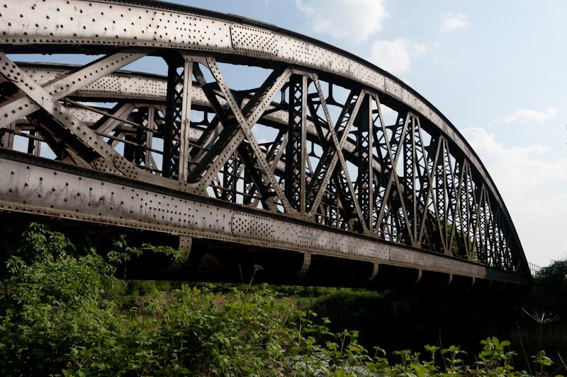
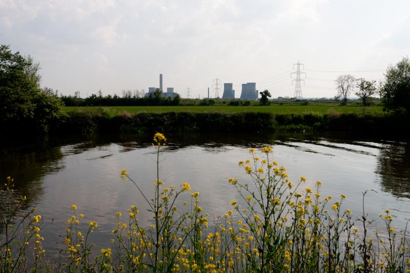
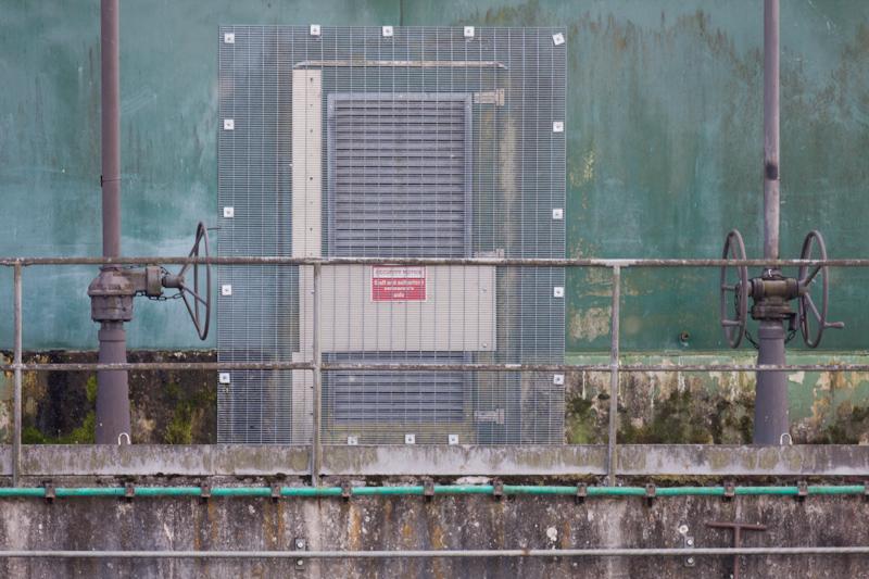
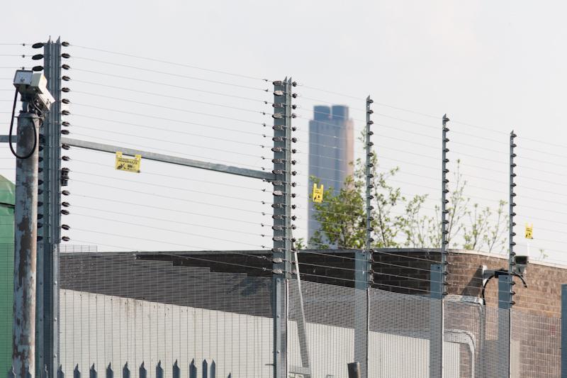
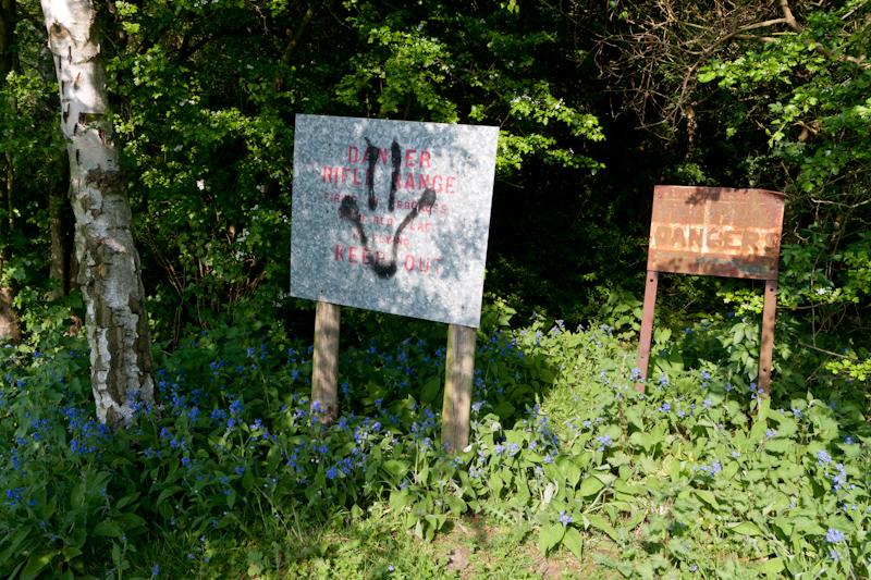
One of our guidebooks described the next few miles to Culham Lock as monotonous, but that didn’t seem at all fair. It had a bridge for cows, a weir, a railway bridge, some power lines, some kind of top-secret water installation on the opposite bank, and a rifle range. Not bad for monotony.
Culham
We passed by Culham, but didn’t investigate it because time was getting on. It does have a railway station, but trains that stop there? Not so much. Anyway, we wanted to go a bit further.
Abingdon
Our walk finished at Abingdon, which is an actual place.
Having spotted the Nag’s Head pub (in background of picture above) we were going to stop there for another cooling drink. If you believe the history on the side it had been a pub since 16-something, but not any longer; it was boarded up. There are a whole lot of closed pubs around these days. To be fair, we only had to walk about two hundred metres to find an open one...
That was the end of our walk; we got a bus to Oxford (Abingdon used to have a railway station, but not since Beeching) and then train to Reading and Staines. It was a nice walk but we were both tired, probably because the day was so hot!