Introduction
These pics are from two local walks near my parents’ place in Staines.
Staines and the river
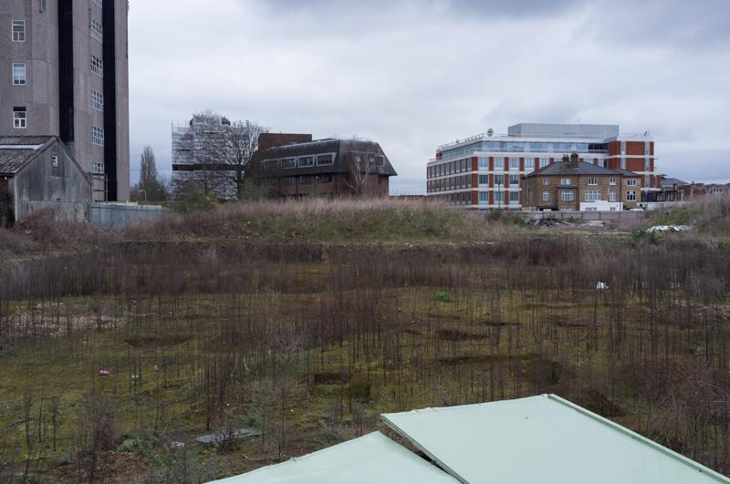
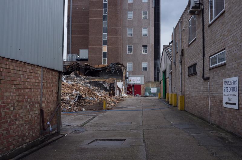
Mum and I walked through Staines town centre, trying our best to follow directions from a walk book written before they built the spectacularly ugly Two Rivers shopping centre. The route then took us toward the Moormead housing estate (which is built on more of the old lino factory site) via a surviving industrial estate.
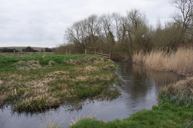
We walked beside the River Colne for a short while, then turned aside on a footpath beside the bypass. It joins a track that crosses over both current and abandoned railway lines to reach Moor Lane. From there, a footpath took us across country (by which I mean a strip of land between gravel pits, reservoir supply aqueducts, and major roads) to the Wraysbury Road.
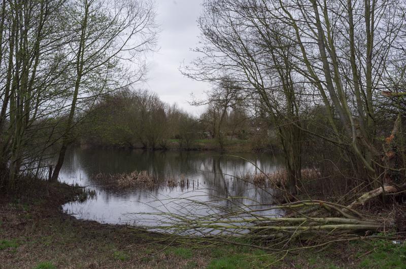
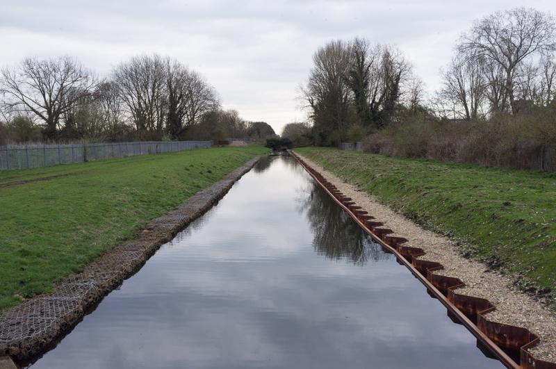
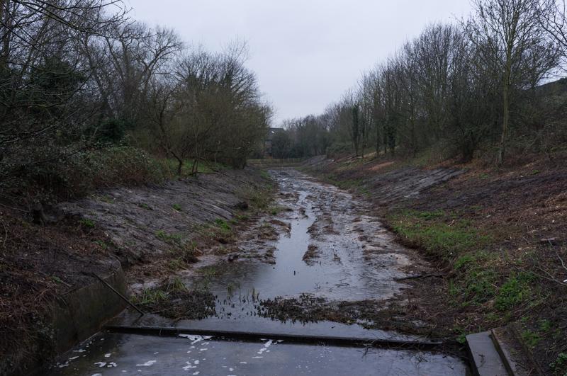
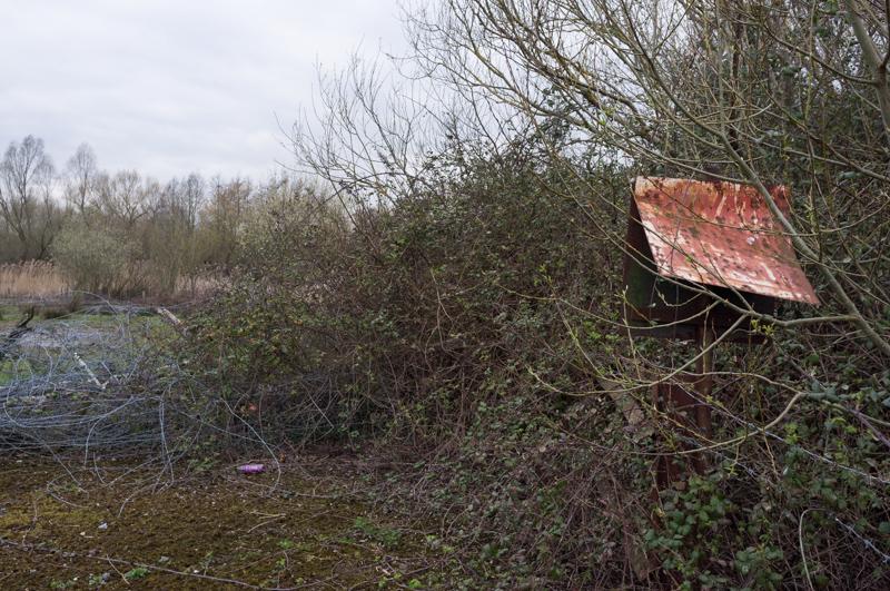
We walked under the motorway for a quick look at the old plaque near one of the Wraysbury lakes (it’s something about an agreement not to take too much water for a mill), then up beside the bypass onto the bridge that takes it over the Thames. The rain increased as we headed down to the riverside (through a recently cleared area with a mysterious trench in), and followed the towpath back to Staines.
Reservoirs and Stanwell
A few days later Mum, Dad, and I took a slightly longer and significantly drier walk. This started by crossing Shortwood Common and a slightly desolate corner of Staines to reach the main road between the reservoirs.
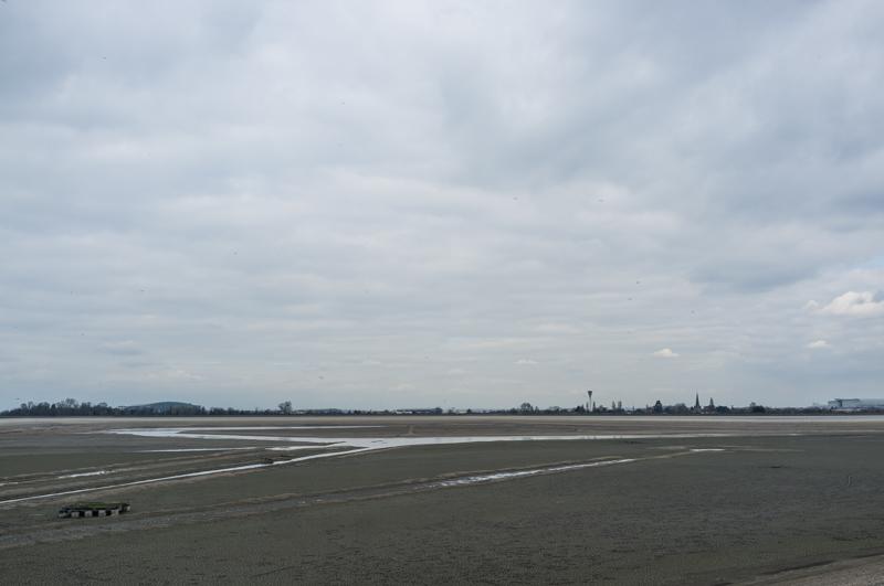
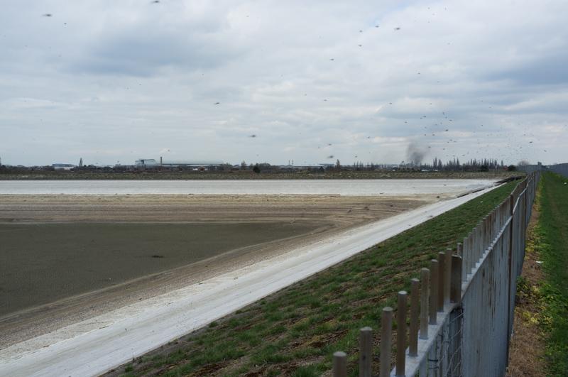
After walking along the main road for a bit and noticing clouds of insects, we climbed up to the footpath that runs between Staines Reservoir North and South. There we saw something unexpected.
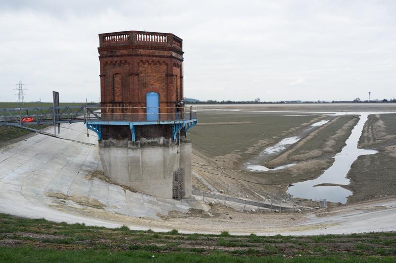
Presumably the vast expanse of mud is good for insects because there were millions. It was seriously ridiculous. The area is supposed to be a big spot for birds, and there were a few around (the opposite reservoir did have water for them to land on), but there were probably enough insects to feed thousands more.
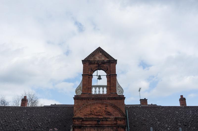
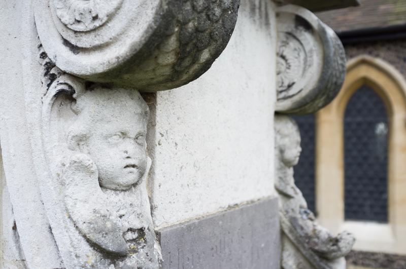
I don’t know what kind of flies they were, but thankfully they didn’t seem to bite us. Anyhow, the other end of the path is in Stanwell. We passed a plaque marking St Anne’s Well, which apparently is what the original village was named after (I never knew that) although there’s basically nothing left of it. Then we took a detour to see the church.
After that we walked along the roads for a bit, then on a footpath beside the King George V reservoir and eventually onto Staines Moor.
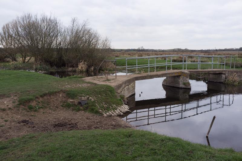
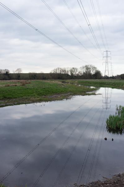
We left the moor and walked beside the Wraysbury River for a bit (past the aforementioned ugly shopping centre) back into Staines centre.