Introduction
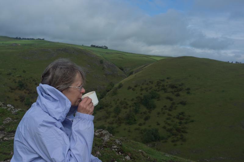
Mum and I stayed for a few days in late September with my brother and sister-in-law who live in Derbyshire. The two of us went on a couple of short walks in the Peak District area.
Ashbourne
The first circular walk was from Ashbourne, a town sufficiently old-fashioned that the Black's Head bar has a large signboard right across the street with a painted golliwog head in the middle.
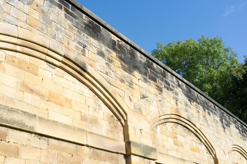
We did look at the parish church from the outside (it's a fairly impressive one), but inside somebody was giving a lecture to what looked like a massive tour group, so we didn't gatecrash it.
We left the town by a footpath to the northwest, getting slightly confused about the route where it had been diverted around a hotel.
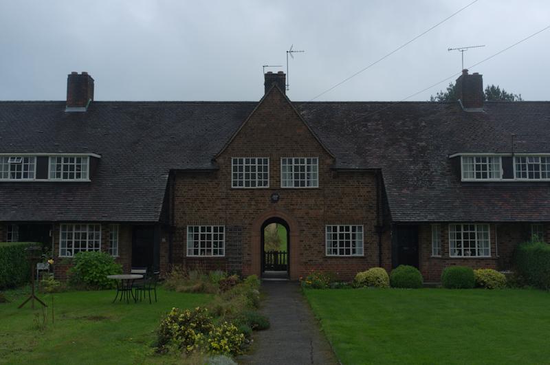
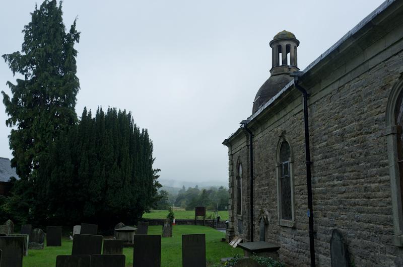
Following the path through fields, we climbed a small hill and then descended it into the village of Mapleton, which has a distinctive small church with a strange dome (the church was locked when we visited, so we didn't see inside).
We followed a small river for a mile or so, leaving it on a path uphill to the village of Thorpe.
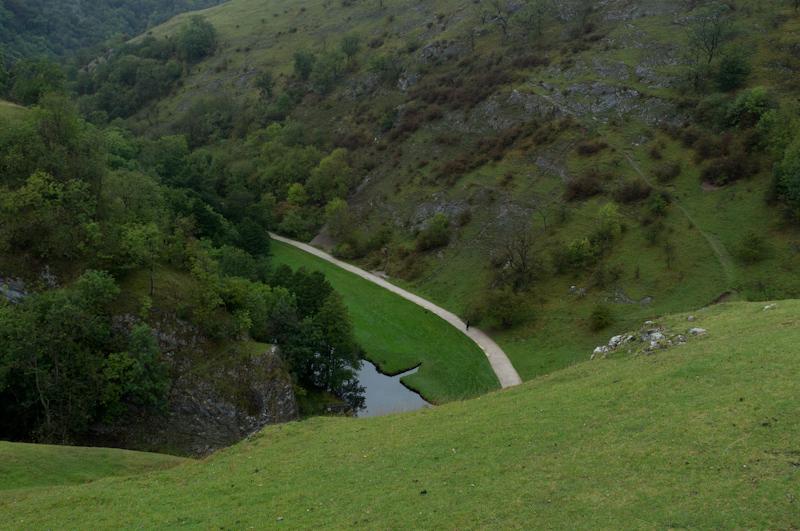
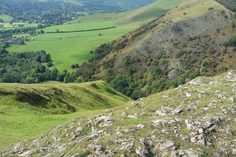
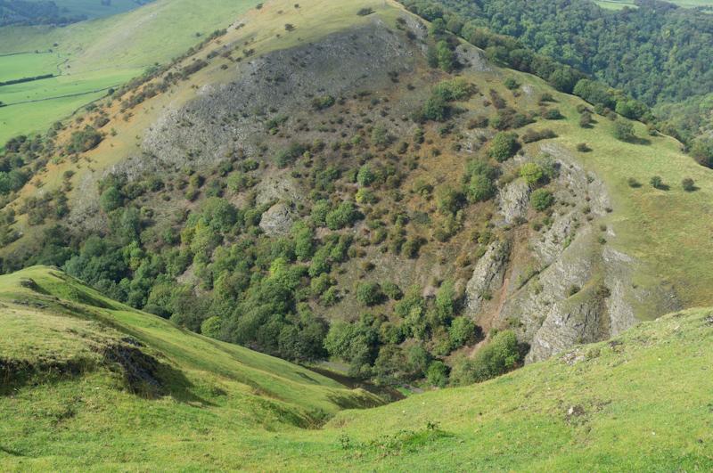
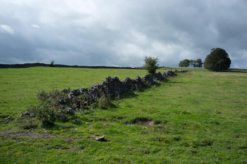
National Trust land north of the village contains a large pointy hill called Thorpe Cloud, which we intended to climb.
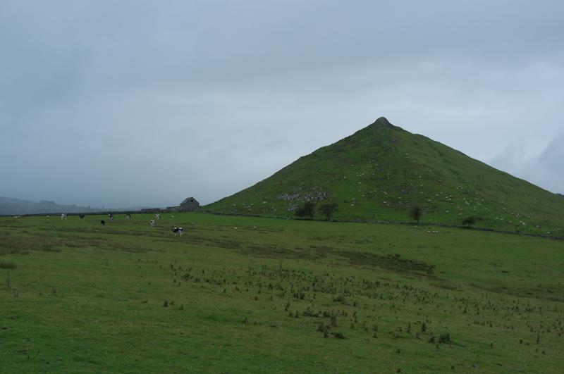
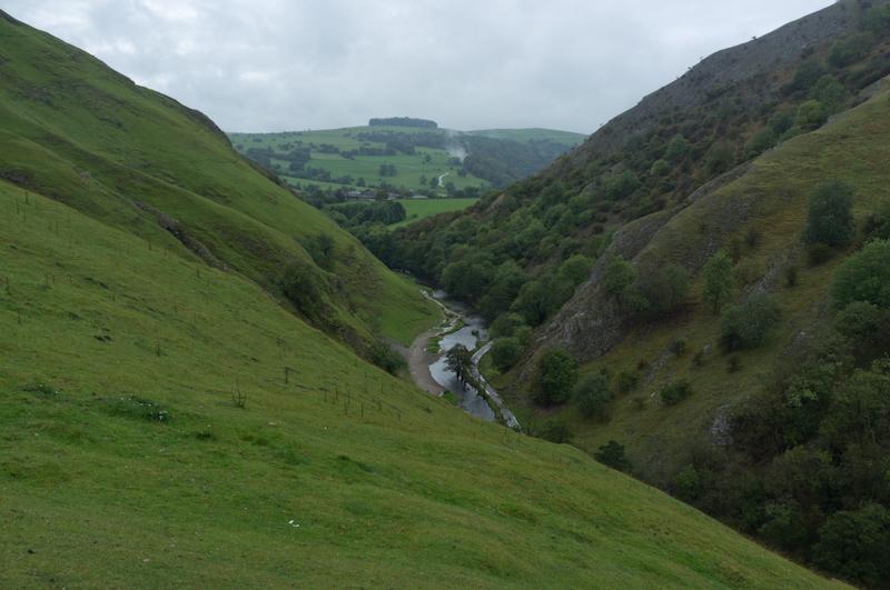
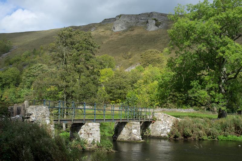
First we walked around the hill, reaching what appears to be a well-known set of stepping stones across the River Dove. (The original stepping stones have been topped with paving slabs, which some people might consider cheating.)
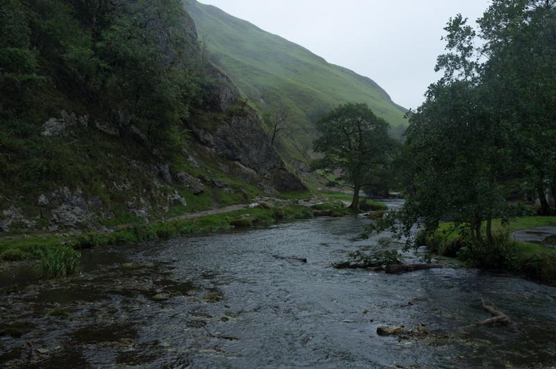
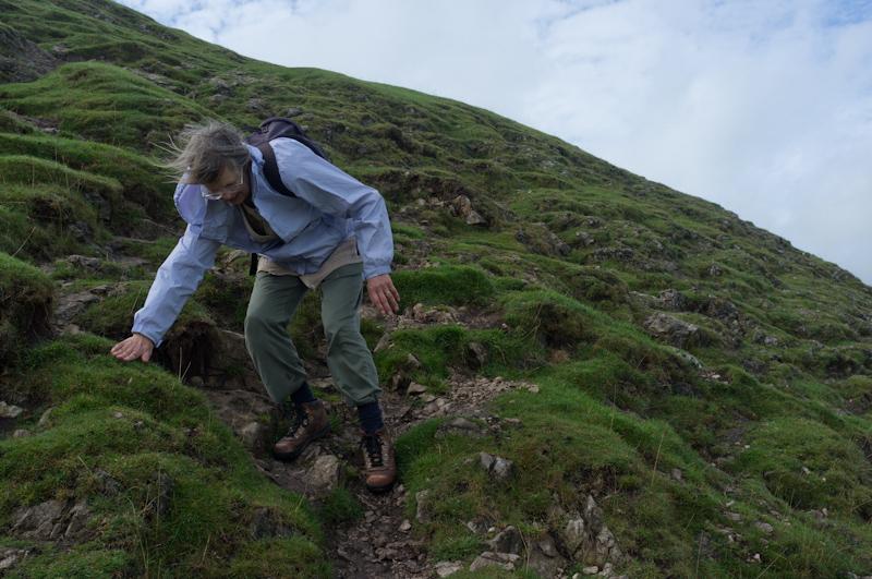
We had heard there was an easy path up the hill, but I'm not sure the route we used was it. Possibly the path had just worn away a bit. Anyway, it got a bit scrambly in places.
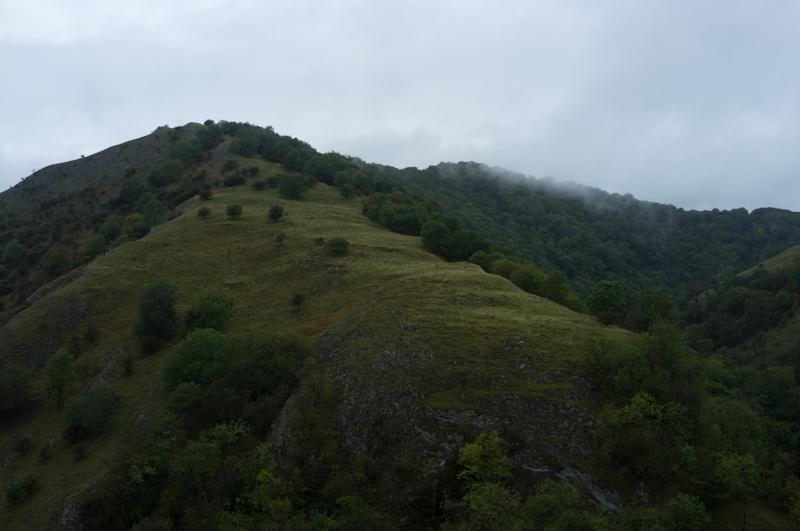
Just as we got to the top of the hill, the sun finally came out. Somewhat tentatively - but still, that was impressive timing.
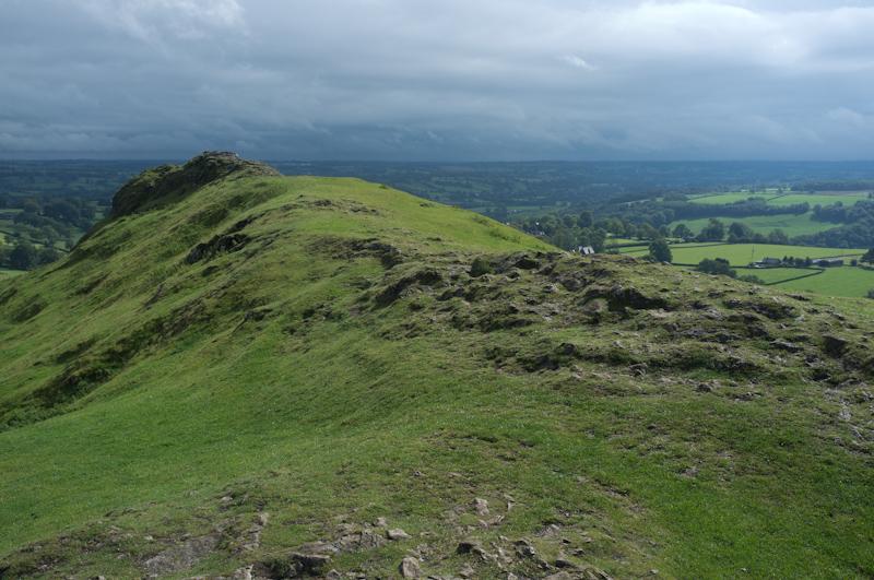
Climbing down the hill was, as usual, significantly harder. We made it without slipping.
Footpaths and some road walking took us to Tissington, which as well as a stupid name looks to be a really weird village. Unfortunately we didn't have time to stop and look at it.
From Tissington we had an easy route back: a cycle track along the route of a disused railway line. You can find these trails all over the country; they're convenient for walking, but it would probably have been better if they'd been kept for the original purpose. It used to link Ashbourne to Buxton.
We walked the trail pretty fast (keeping the time of the last bus in mind). It was okay, but not very varied, so got a little monotonous.
I did like the lying signs: 'Cyclists ride carefully.' (Complete with full stop.) That's a pretty bold statement.
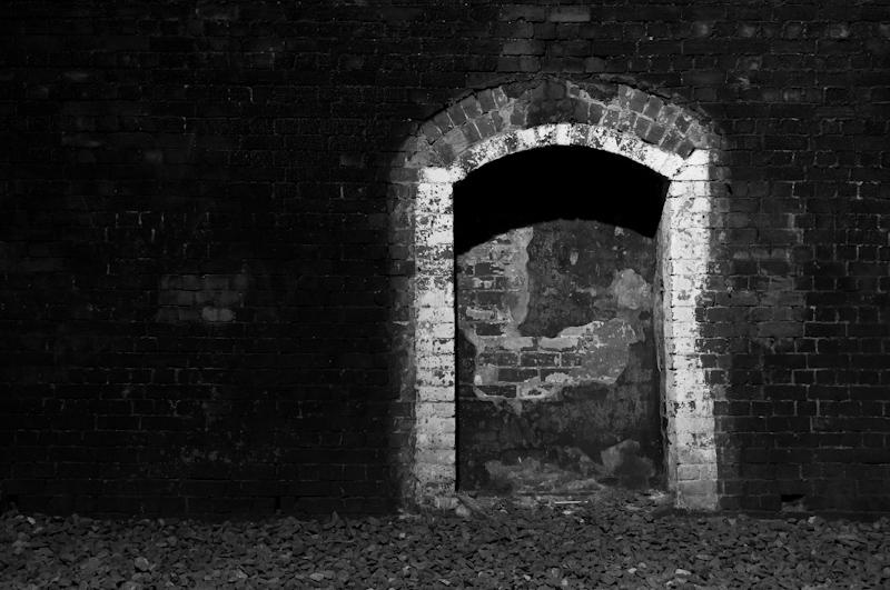
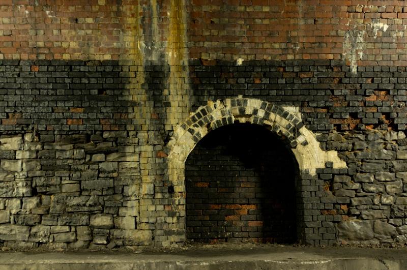
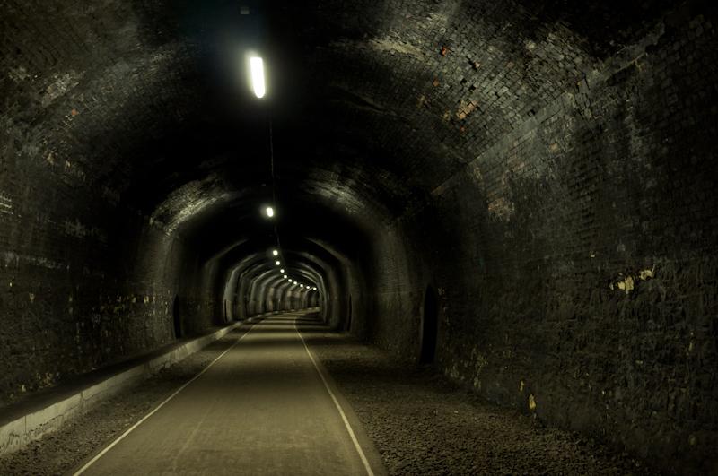
The highlight was at the end of the route into Ashbourne, where it finished with a short tunnel. It wasn't the most impressive tunnel I've been in but I like tunnels regardless.
(Tunnel photos are B&W because it was sodium-lit and I didn't like the colour.)
We emerged from the tunnel into Ashbourne town centre, with time to spare before that bus.
Bakewell
On a rather sunnier day, our second walk was from Bakewell, a town famous for its tarts (no, not that kind). Except, in Bakewell, they're a slightly different recipe and are called 'Bakewell pudding' instead. Just to be different.
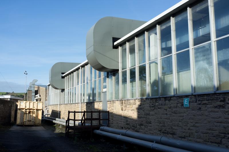
The bus was half an hour late, so I took a few pictures around the bus stop in Belper. It's opposite the historic North Mill, one of the first iron-framed buildings in the world. So I took pictures of the modern factory across from it. It's owned by the company that makes Pretty Polly tights.
The bus got us to Bakewell (it takes a while, but the scenery's nice) and we walked around the town a little bit before leaving along a footpath through the grounds of a private school. The path then ran above a river before reaching the village of Ashford in the Water. Despite the name, it was not flooded at the time of our visit.
Ashford in the Water is significantly more picturesque than Ashford near Staines (not its official name) where I used to go to sixth-form college. We stopped at a tea shop for a cold drink and cake: another point of difference because Ashford near Staines doesn't have any tea shops, although I think there's a Gregg's.
From Ashford our path climbed to a windy plateau along the delightfully-named Pennyunk Lane.
We sat on a convenient bench to eat lunch, then reached the village of Monsal Head. As the name suggests, it's quite high up. We took a path down to the river.
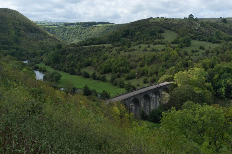
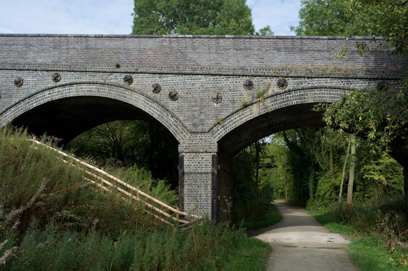
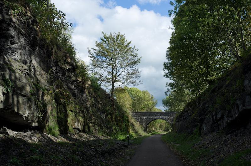
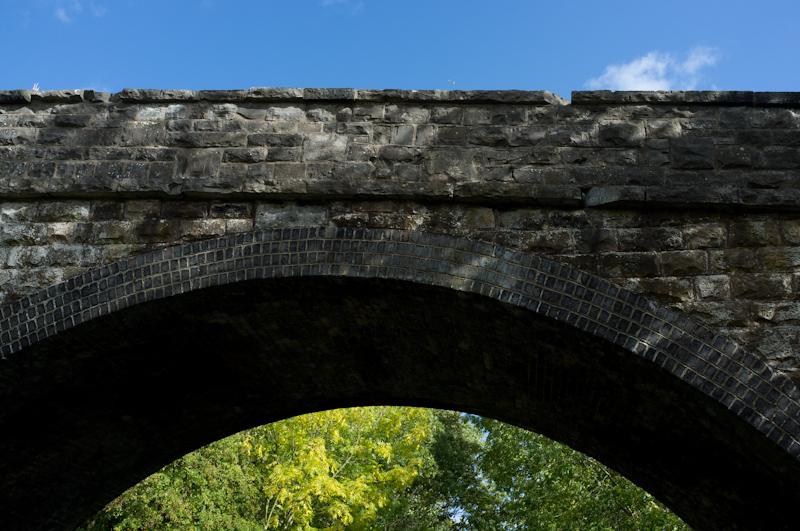
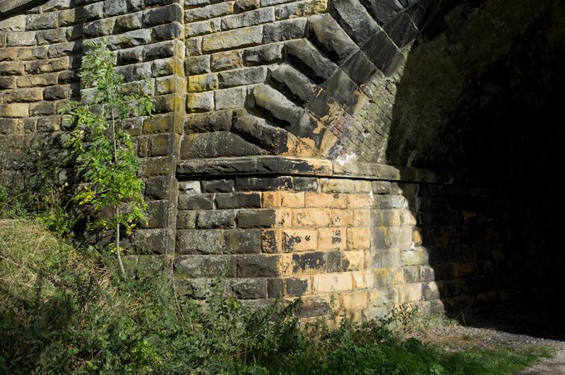
Once across the river we had to go up a bit to the level of the ex-railway. This one was even part of the main line to Manchester at one point; there are supposedly plans to reopen it, but I wouldn't hold my breath.
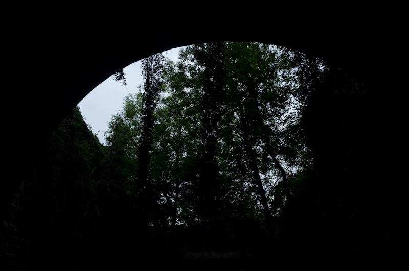
We crossed the viaduct (pictured above) and into Headstone Tunnel. Yes, another tunnel - this one only opened to the public in May. It's bigger and more impressive than the Ashbourne tunnel (and has white lighting, too).
The railway path took us all the way to Bakewell (sort of), but it was more interesting and varied than the other line.
For a start, one station (now converted into a private home) sits right next to an impressive old house: Thornbridge Hall. Apparently one of the directors of the Midland Railway lived there, so he got his own station. The hall still has a direct entrance to the platform, although this is probably less useful now.
A second larger station had been converted into a bookshop and café and other businesses (we had a brief look but didn't stop).
From Bakewell station, it's a little way downhill to the actual town.
After buying Bakewell puddings, we had a little while to wait for the bus. I went to take pictures of a couple of shopfronts I liked: Pizzakebabwell (great name) and this one below, Lady Fair.
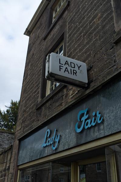
It's a clothes-and-sewing type shop, and it actually has three different styles of sign lettering, all equally old-fashioned. It's a two-unit shop; the third sign is over the second one that isn't in the picture, and it's also in a script face - but a totally different one. (It's uglier, doesn't actually fit in the available space, and is misaligned as a result. You're not missing much.)
Anyway, isn't it great? They have another branch in Matlock. I bet that has a different typeface too.
After that excitement, we got the bus back in plenty of time.