Oxford

Introduction

R’s studying an Open University course which included a day school in Oxford. While she was stuck inside studying, I took a short walk.
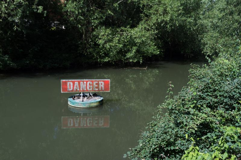
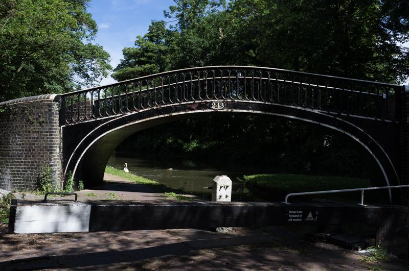
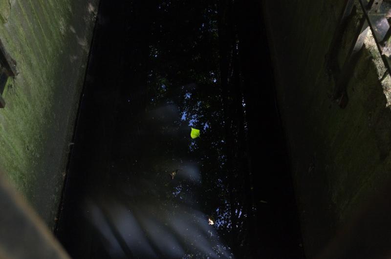
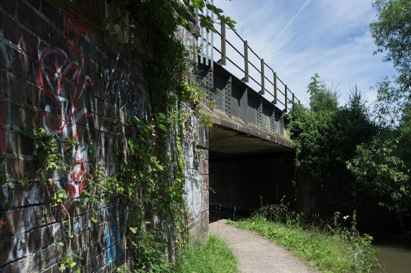
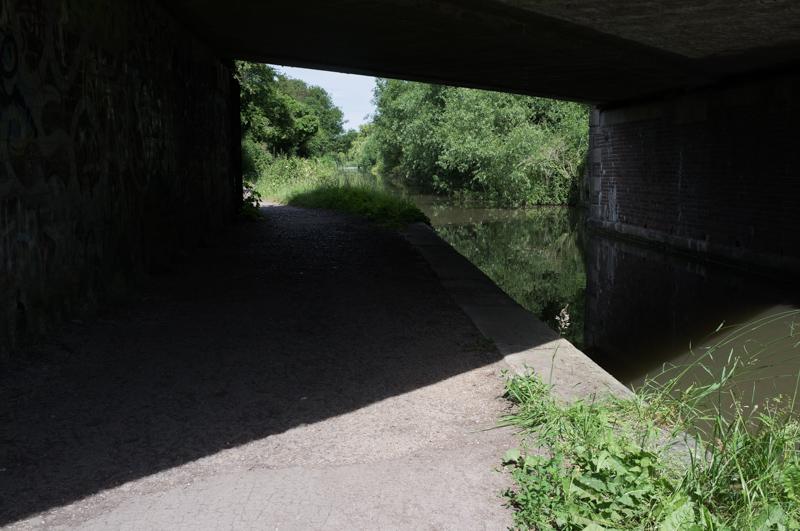
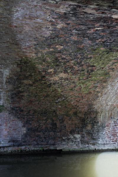
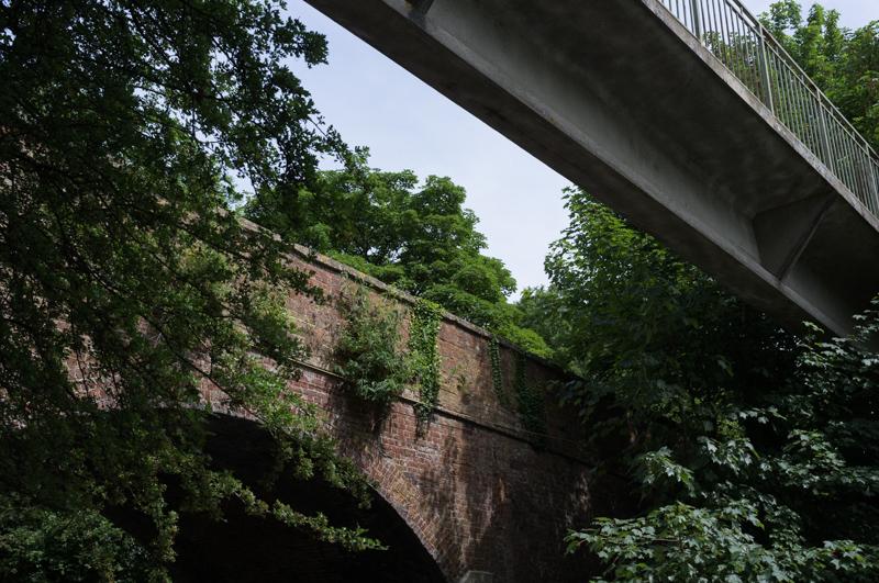
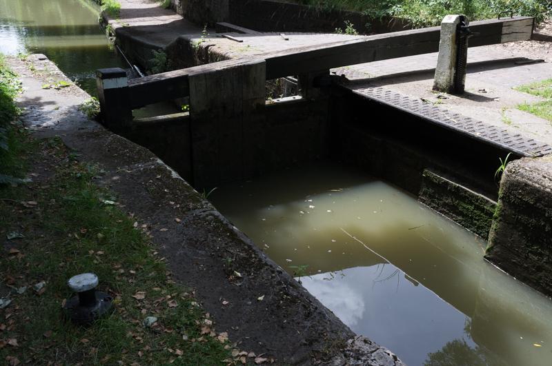
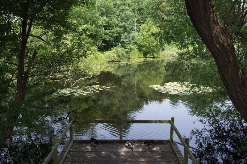
Church of St Thomas the Martyr, with blue sign.
1/500 at f8, 23mm, ISO200 51°45′6″N 1°16′4″W

Oxford Canal

I set off along the Oxford Canal, partly because I thought I might spot a location from Inspector Morse.

Part of a mill stream next to the canal. Despite the sign, it probably hasn’t been mined.
1/250 at f8, 23mm, ISO200 51°45′19″N 1°16′4″W
Classic iron canal bridge and lock gates.
1/500 at f8, 23mm, ISO200 51°45′21″N 1°16′9″W
Close-up of bridge and peeling paint.
1/500 at f8, 23mm, ISO200 51°45′21″N 1°16′9″W

In addition to TV locations the Oxford Canal has a quite interesting audio guide, although I didn’t figure out how to make it actually work on my phone until I had almost left the canal.
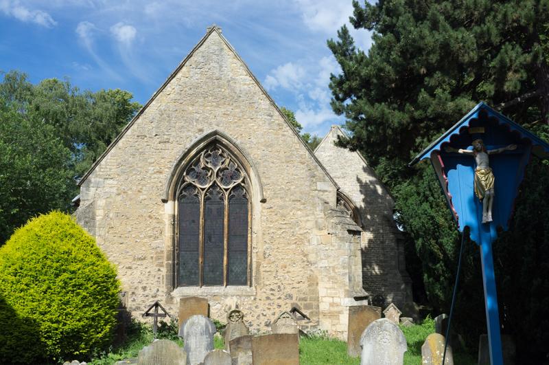
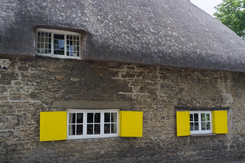
Leaf floating in railed enclosure by canal.
1/60 at f8, 23mm, ISO200 51°46′19″N 1°16′17″W
Railway bridge near Burgess Field.
1/500 at f8, 23mm, ISO200 51°46′44″N 1°16′41″W
View through same bridge.
1/500 at f8, 23mm, ISO200 51°46′44″N 1°16′41″W
Ball’s Bridge, leading to the Plough Inn.
1/125 at f8, 23mm, ISO200 51°46′58″N 1°17′0″W
Godstow Road bridge and footbridge.
1/250 at f8, 23mm, ISO200 51°47′5″N 1°17′8″W
Wolvercote Lock shadows and reflections.
1/250 at f8, 23mm, ISO200 51°47′7″N 1°17′9″W
Reflections under the road bridge and footbridge.
1/250 at f8, 23mm, ISO200 51°47′6″N 1°17′9″W

Wolvercote

Leaving the canal, I walked through the village of Wolvercote to reach the Thames.
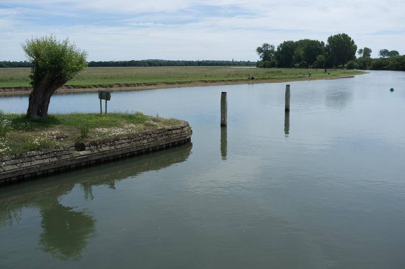
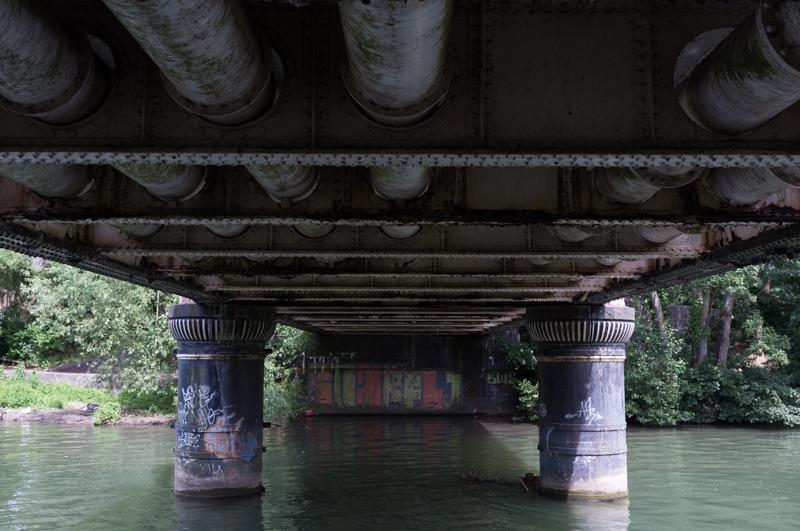
Godstow Road bridge.
1/500 at f8, 23mm, ISO200 51°47′6″N 1°17′9″W
Waterlilies (and ducks) in Wolvercote Lakes.
1/250 at f8, 23mm, ISO200 51°47′3″N 1°17′17″W
Thatched cottage on edge of Wolvercote.
1/500 at f8, 23mm, ISO200 51°46′54″N 1°17′42″W

River Thames

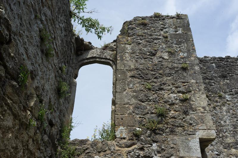
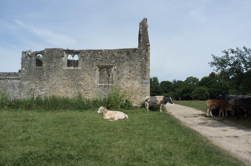
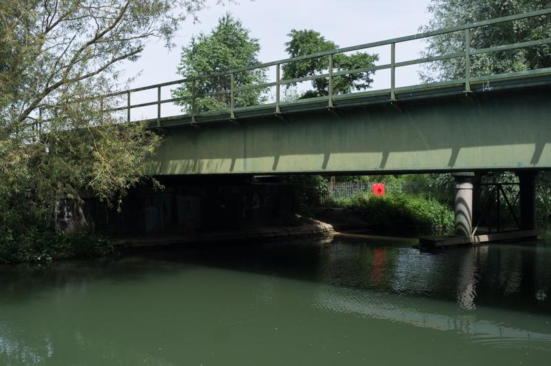
After crossing the bridges at Wolvercote, I walked back into Oxford along the Thames Path. I had walked all of this previously (in the opposite direction), but had completely forgotten about the ruined nunnery at Godstow.

Godstow Abbey was built in 1133 but demolished in 1541 and then more thoroughly in a Civil War battle, so there’s not a lot left, but it is still an interesting site. According to an information sign, while operating it was notorious for its ‘hospitality’ (their quotes) toward the young monks of Oxford.

Corner inside the abbess’s chapel.
1/500 at f8, 23mm, ISO200 51°46′41″N 1°17′57″W
Chapel from outside, with cattle.
1/1000 at f8, 23mm, ISO200 51°46′40″N 1°17′56″W
Main river and lock channel rejoining, downstream of Godstow Lock.
1/500 at f8, 23mm, ISO200 51°46′36″N 1°17′53″W
Mooring, downstream of Godstow Lock.
1/500 at f8, 23mm, ISO200 51°46′34″N 1°17′53″W

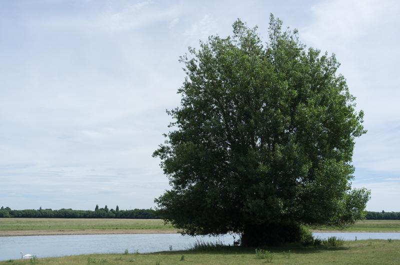
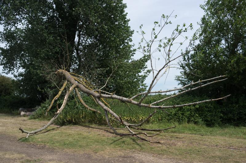
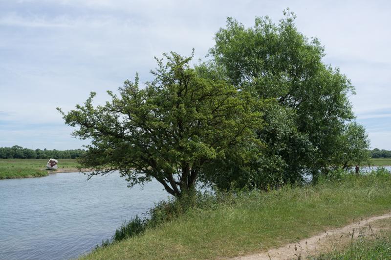
The riverside path back to Oxford runs mostly through open land with sparse trees. I wore a sun hat, but it was still rather hot.

Nice tree.
1/500 at f8, 23mm, ISO200 51°46′25″N 1°17′28″W
Signs and branches in river.
1/1000 at f8, 23mm, ISO200 51°46′15″N 1°17′22″W
Fallen tree.
1/500 at f8, 23mm, ISO200 51°46′14″N 1°17′22″W
Small trees and, on the opposite bank, a beached cabin cruiser.
1/500 at f8, 23mm, ISO200 51°45′57″N 1°16′58″W

I got back into Oxford and continued by the river, which looped round to where I planned to meet R.

River frontage of the Old Power Station (now owned by the University).
1/125 at f8, 23mm, ISO200 51°45′4″N 1°16′20″W
Osney Railway bridge.
1/500 at f8, 23mm, ISO200 51°44′48″N 1°16′1″W
Underneath Gasworks Bridge (an old railway bridge, now a footbridge).
1/250 at f5.6, 23mm, ISO200 51°44′45″N 1°15′49″W

I crossed the bridge and caught up with R for a late lunch before we got the bus back home.

All images © Samuel Marshall. All rights reserved.