Introduction
Dad gave Mum an old (1930s?) book about the Thames for Christmas. Near the start it had a chapter about Northfleet, which mentioned how Northfleet and Southfleet were separated by the Roman Road.
So on a sunny New Year's day, the three of us set out to walk from Northfleet to Southfleet. It has changed quite a lot since the book was written...
Northfleet
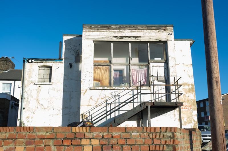
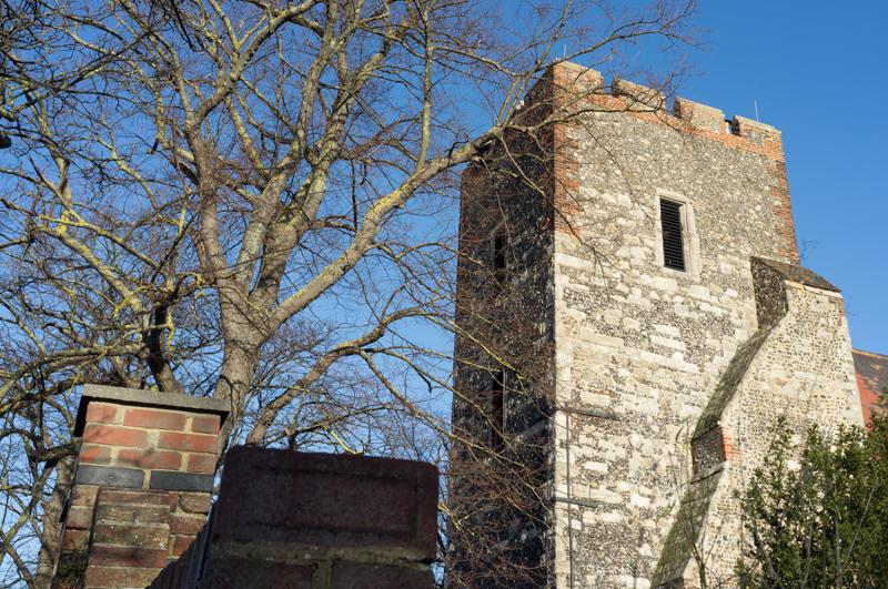
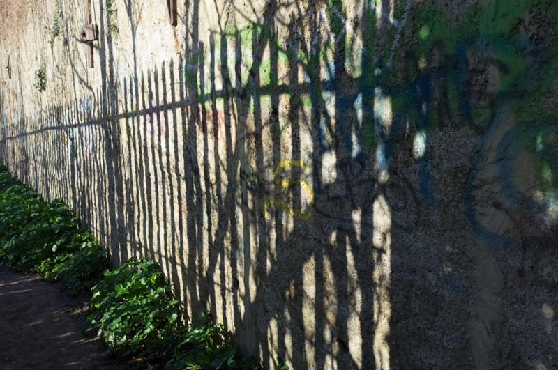
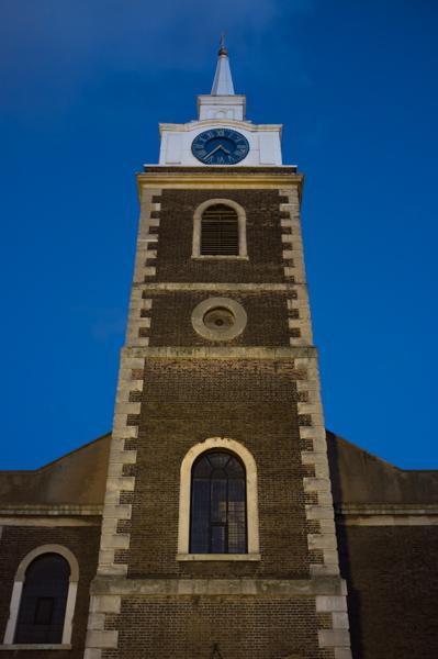
Northfleet is in Kent, one stop west of Gravesend on the railway line. We got off the train and walked along the high street toward the church, diverting briefly for what would have been a look across the river except that a footpath was closed.
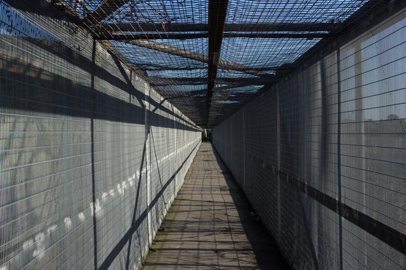
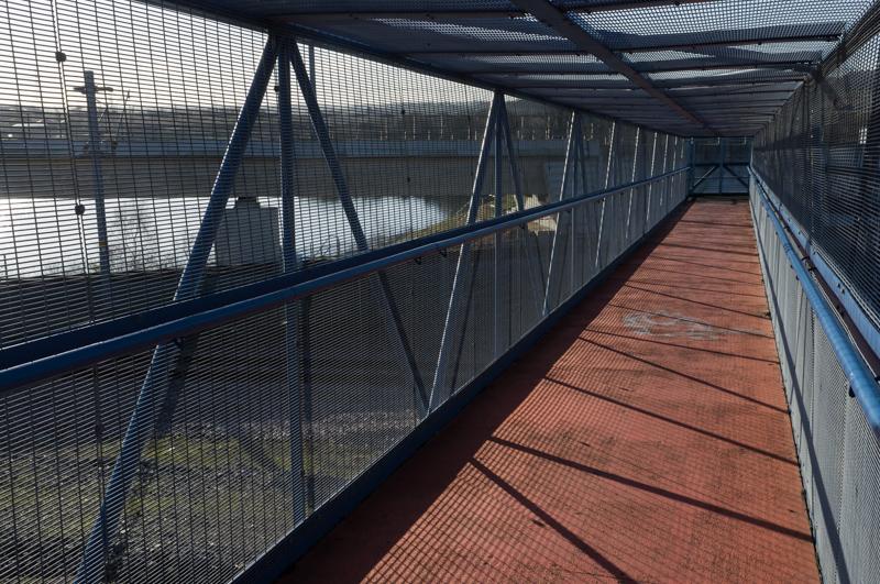
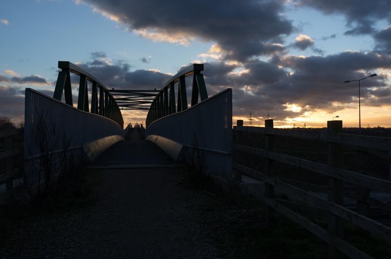
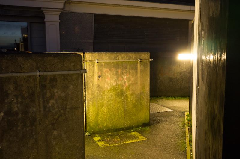
A public footpath from the church runs across some of the old cement workings in a high, caged bridge.
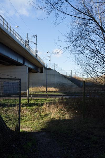
After a residential area, the path was interrupted again by a conglomeration of railways: a spur off the recently-built Channel Tunnel Rail Link connects to sidings and the older local line.
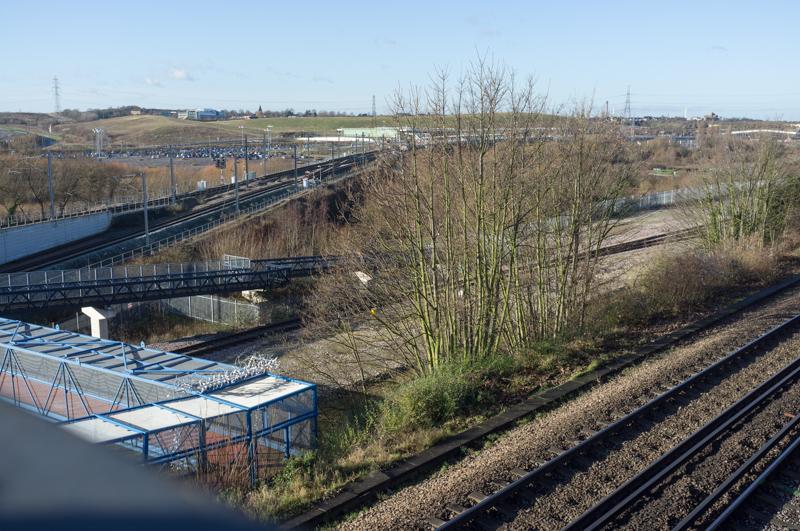
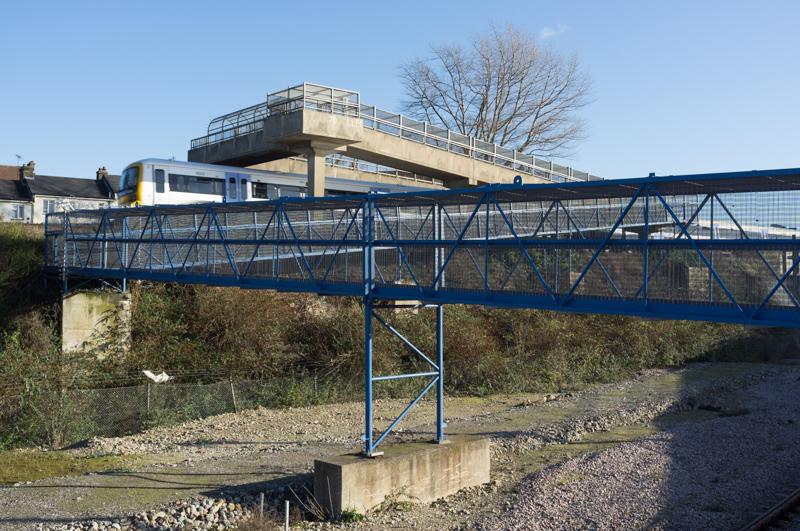
Reaching the newer line, we had to walk a little distance to the road bridge and then back on the other side.
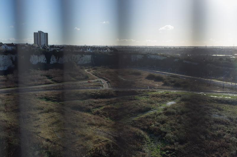
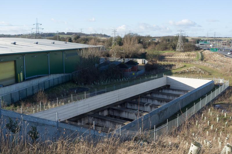
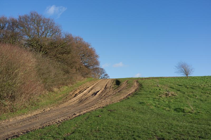
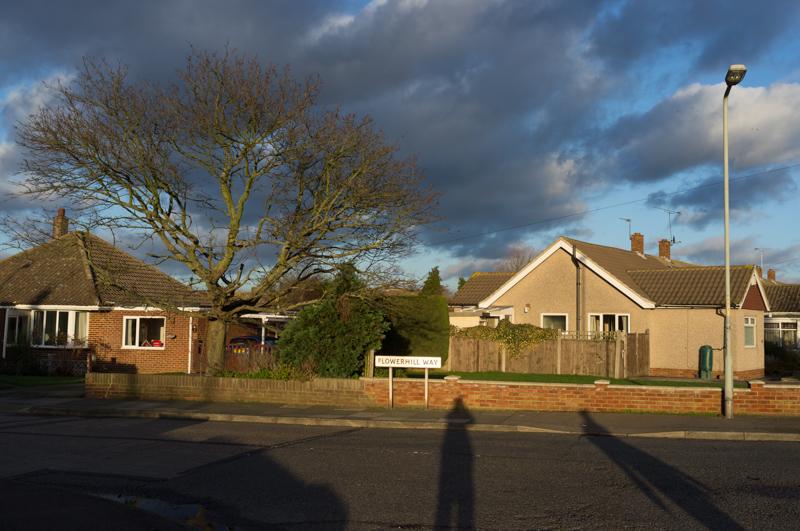
After rounding the end of a gravel pit and passing a sewage farm, our path then led between an industrial estate and a new housing estate - new enough that it wasn't on Google Maps. We got a bit lost, because they had moved the next footpath.

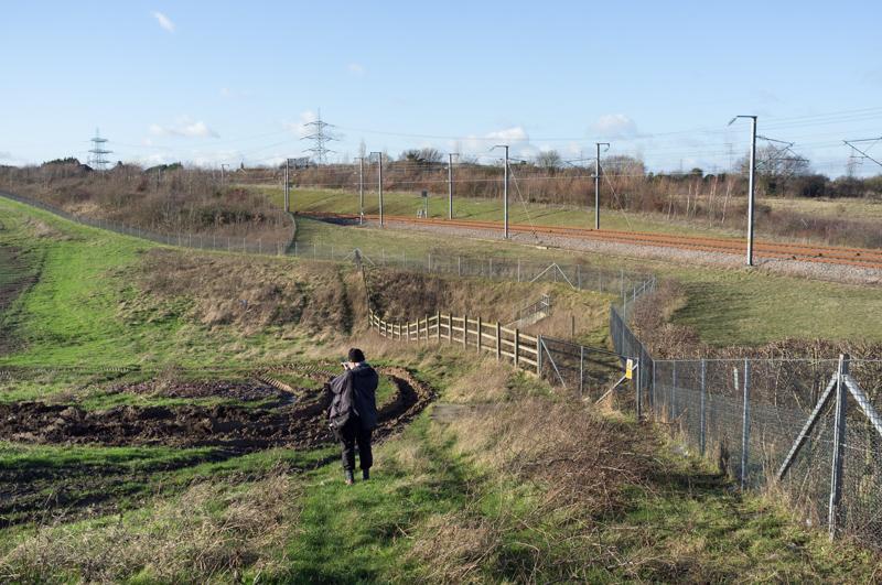
By chance we found the new entrance to the footpath and followed it around the edge of the not-yet-built part of the housing development. It ran parallel to a disused railway for a short distance; then we crossed that on a bridge and reached a large Sainsbury's.
Southfleet
We'd chosen this route so as to cross the 'Roman road' (Watling Street, and now the A2). When that book was written, the road might have been a barrier, but it probably wasn't eight lanes and a fence in the middle: the natural footpath between Northfleet and Southfleet now dead-ends at each side of the road. Instead, we crossed on the pavement beside a road bridge.
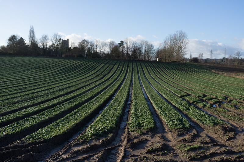
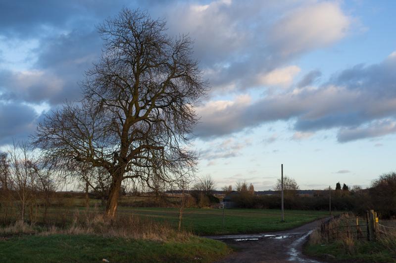
Across Watling Street the surroundings changed very abruptly: we were definitely in the countryside, and soon walking along a rather muddy footpath.
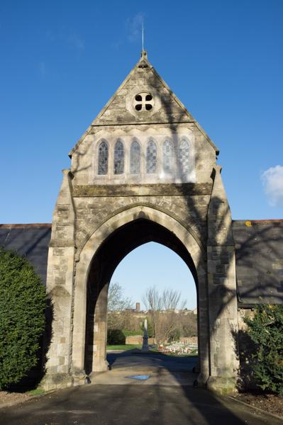
We reached Southfleet (complete with five-hundred-year-old cottages, thatch, oast houses, the works) and ate our sandwiches in the churchyard.
Passing a duck pond, we walked along country lanes and on a path round a field until we reached a more suburban area called Istead Rise.
Leaving that behind, we followed a couple of tracks through countryside until it was time to cross the A2 again.
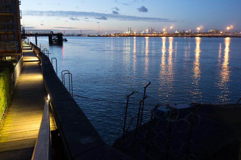
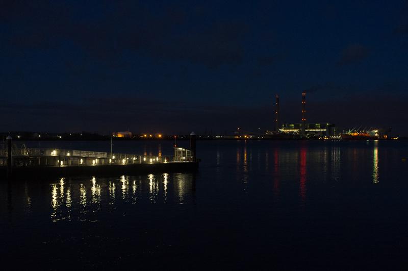
After that we had to walk along a rather boring road into Gravesend proper. Night had fallen, but we decided to have a look at the river before heading home.
That's it! We got a train back into London and home.