Introduction
The Parks Trust is a charitable trust that looks after all the open space in Milton Keynes. This year, as part of the 50th anniversary, they set up a ‘challenge walk’ - a signposted 25 mile walk around parts of the city. It’s basically a park crawl.
After a minor illness, R wasn’t feeling up to travelling long distances to walk, so we decided this local walk would be more suitable instead - given that we did it in lots of short sections. Which does make it, arguably, slightly less of a challenge!
21st May
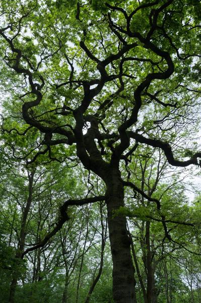
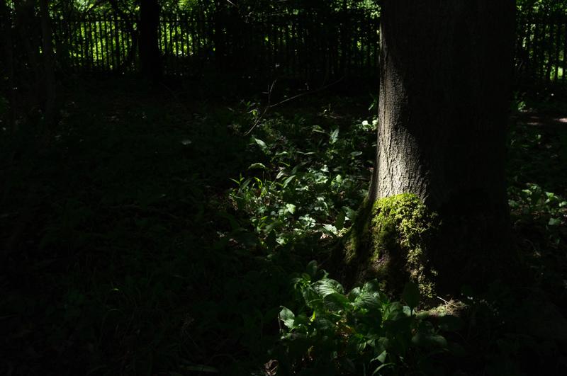
The walk starts in Howe Park Woods, which are ancient woodland. Conveniently, the visitor centre where the route begins is directly opposite Westcroft District Centre (aka Morrisons).
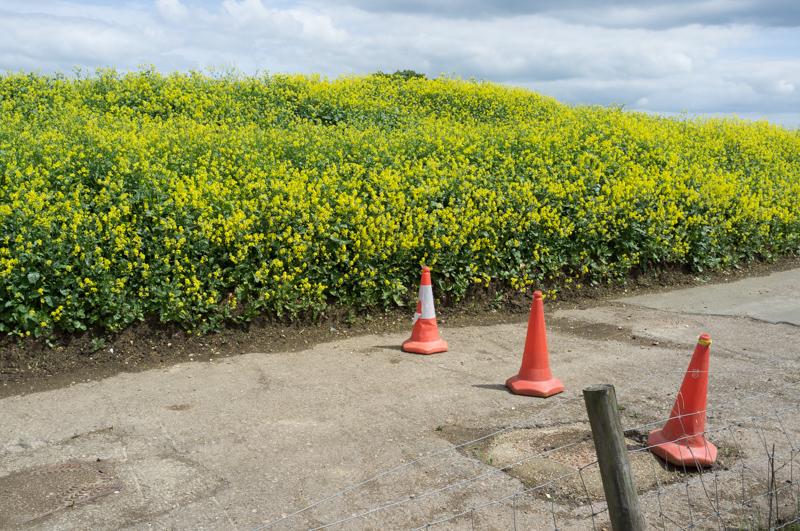
We were led on a brief trip to Kingsmead Spinney and through Tattenhoe Park, which is not actually a park but a a new estate they haven’t yet finished building.
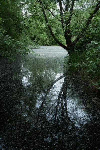
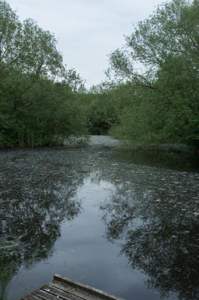
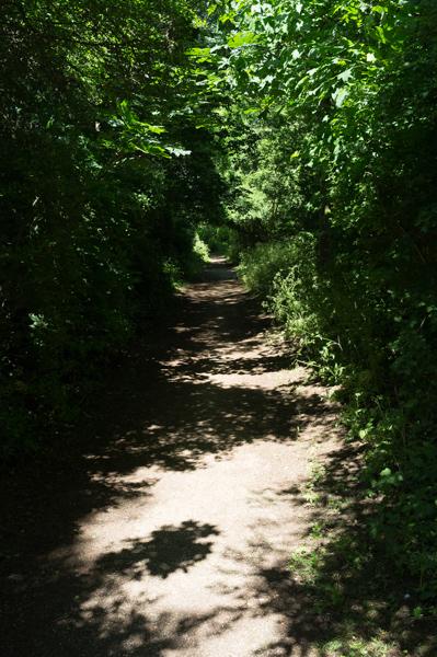
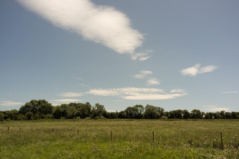
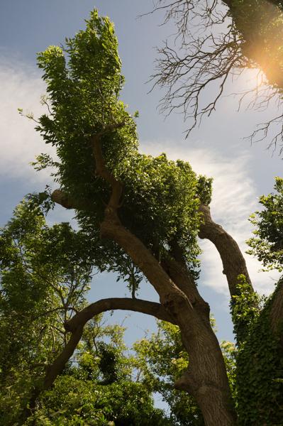
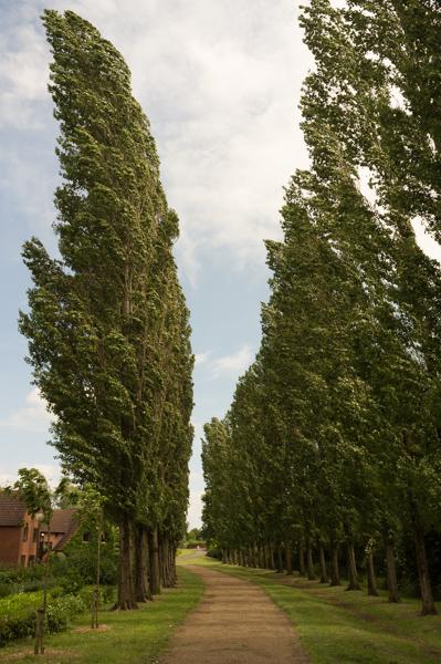
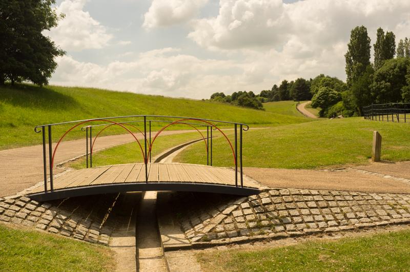
The path then followed Loughton Brook through the long linear park along its length.
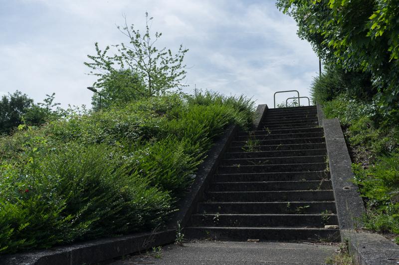
On reaching Furzton, we left the walk route and headed for a (not very) convenient bus stop to end our walk for the day.
28th May
We began from a similar bus stop and returned to Furzton.
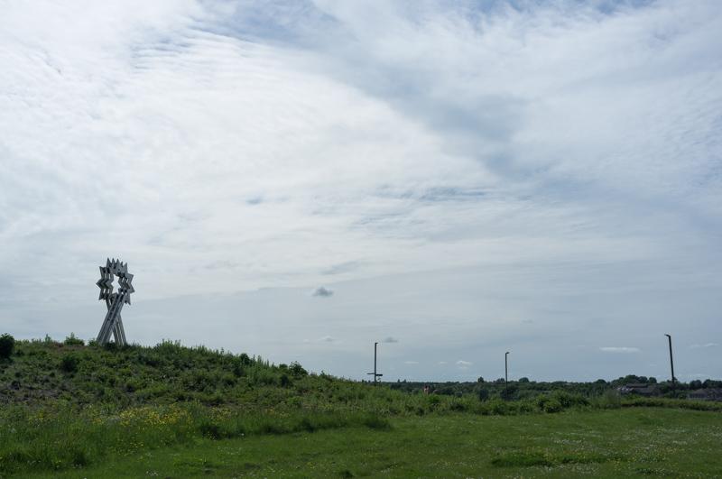
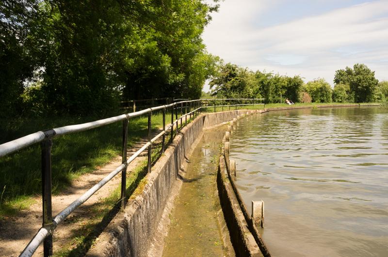
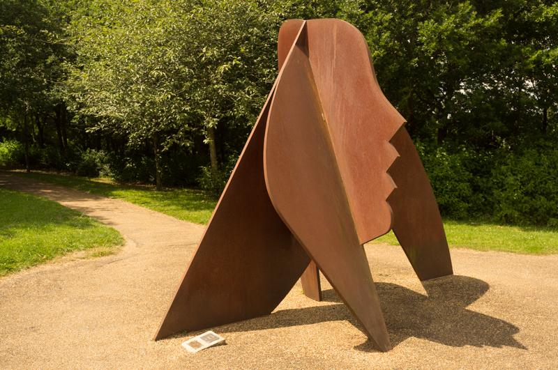
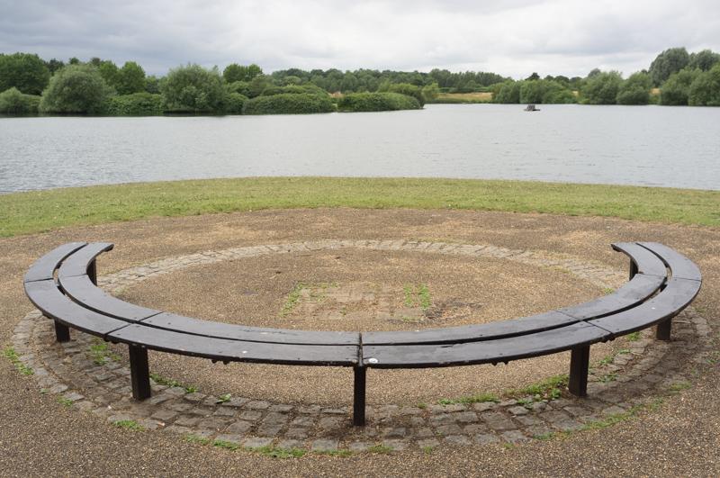
The walk route circled entirely around Furzton Lake, finishing near the large star sculpture.
We then followed a footpath beside the National Bowl venue.
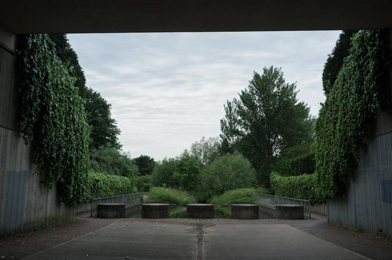
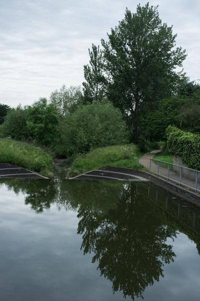
Leaving the Bowl site, the route then took us along the Teardrop Lakes (another park, featuring lakes presumably dug in order to stop the Loughton Brook flooding).
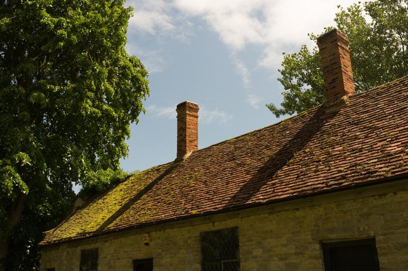
We walked through Loughton village (which unlike most of Milton Keynes has been there since at least the 15th century) and eventually to Lodge Lake, where we decided to stop and get a bus.
3rd June
Starting from the bus stop at Lodge Lake, we walked beside the lake and continued following the path by the brook through what is apparently called North Loughton Valley Park.
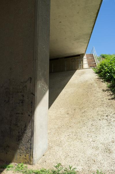
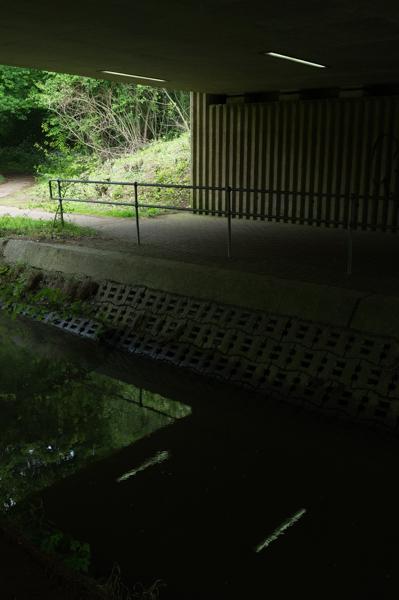
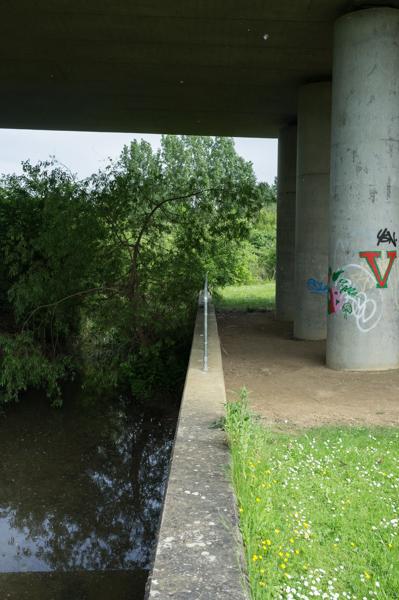
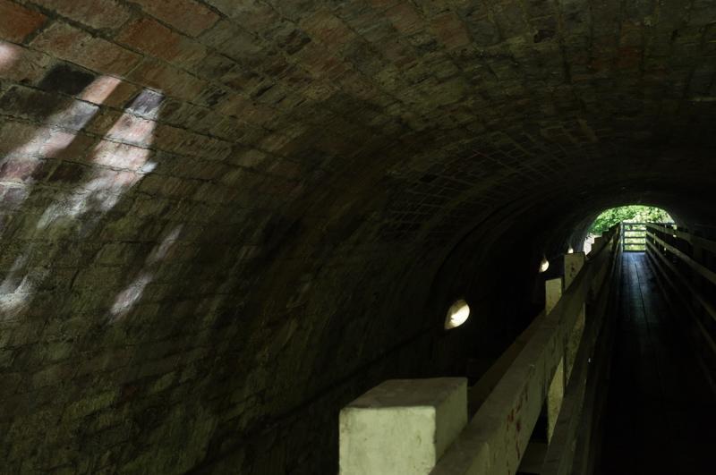
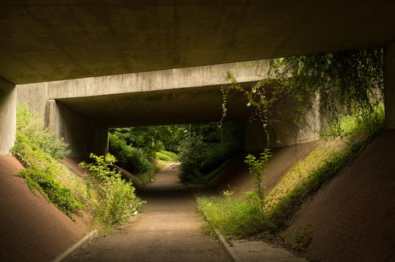
The route then crossed under the West Coast Main Line railway in a rather exciting tunnel. Perhaps originally designed only for the brook, it took the redway through on wooden support beams that held it up above the water.
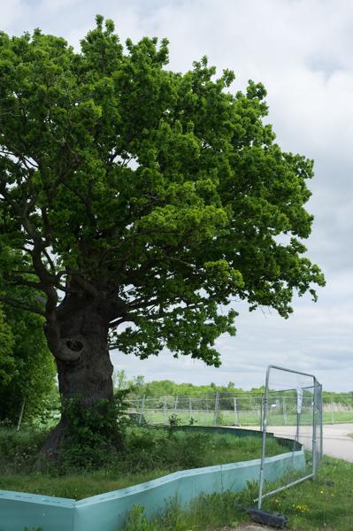
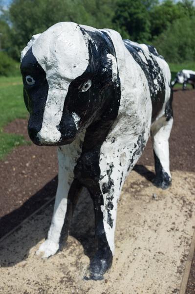
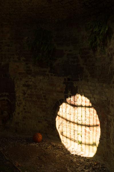
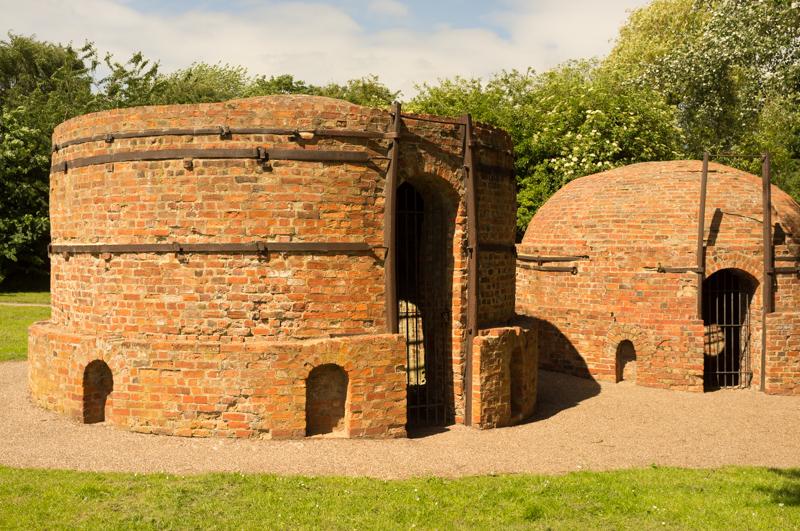
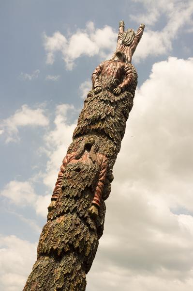
We crossed the corner of Bradwell to reach a highlight of the walk, the famous concrete cows.
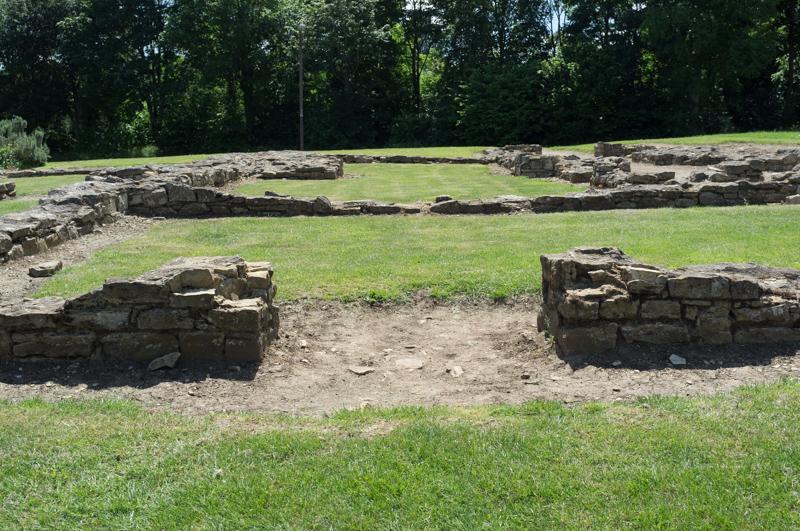
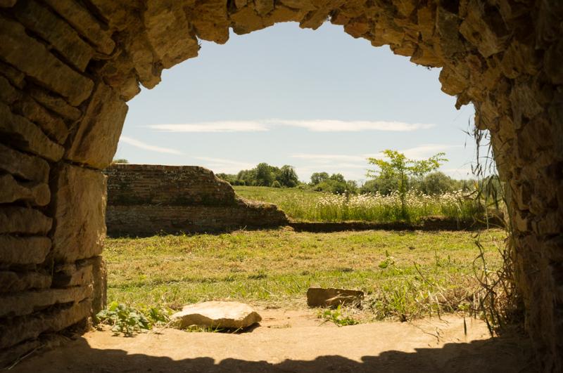
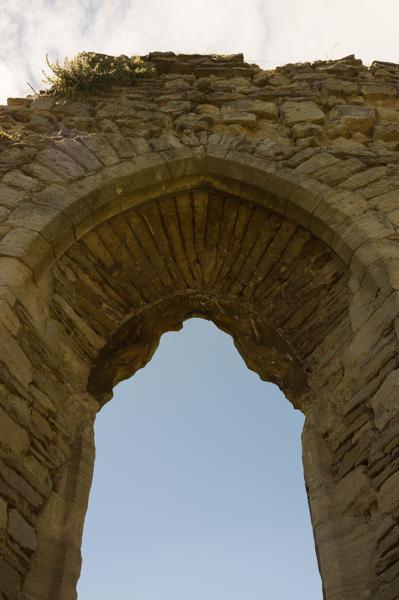
A little further along is the site where Bancroft Roman villa (built about AD 100) was excavated.
We continued near the route of the brook.
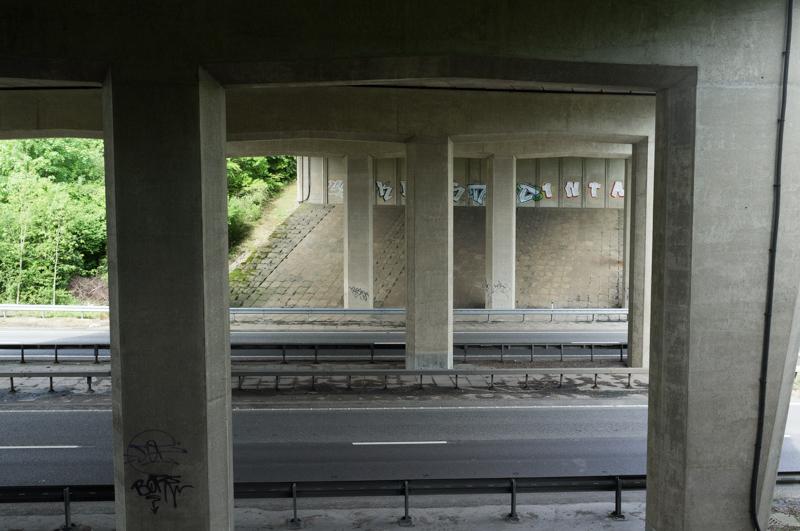
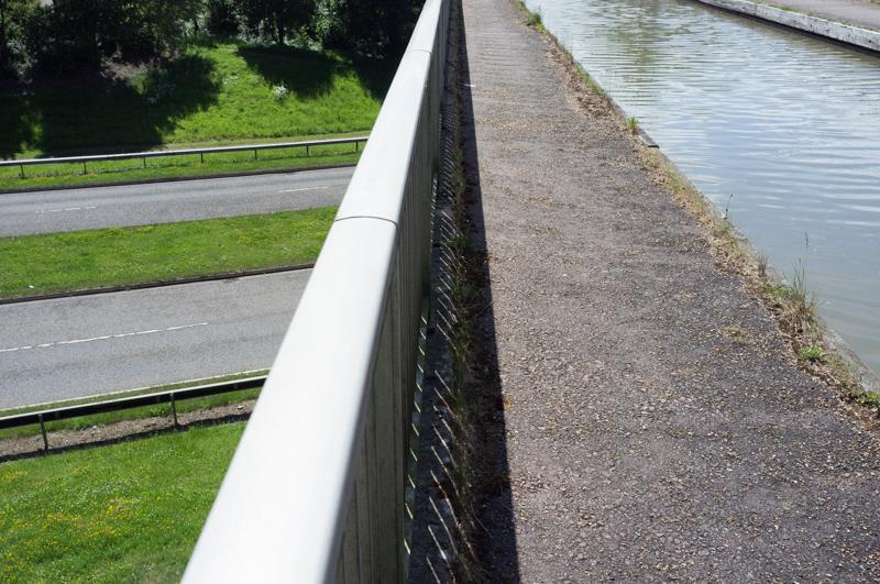
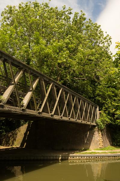
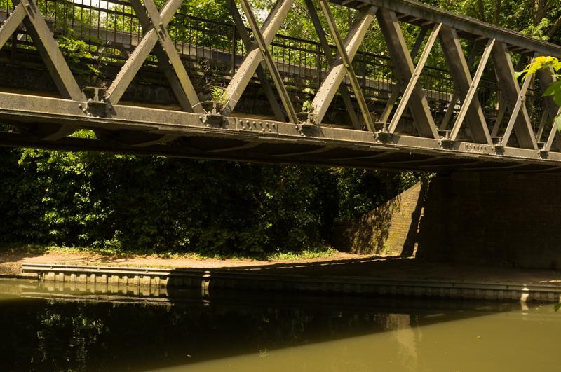
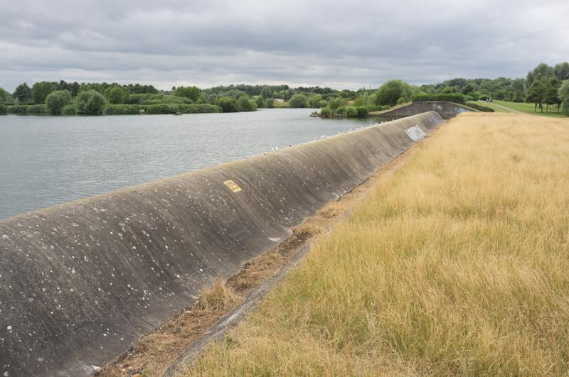
Our route joined the canal near the aqueduct over the V6. We followed the canal for a short distance, then left it to get a bus on Newport Road near Asda.
10th June
A short walk from the bus stop took us down to the canal.
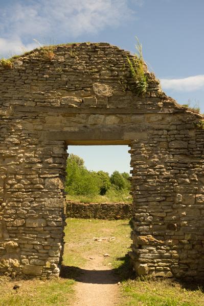
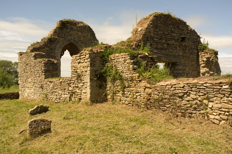
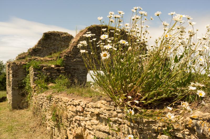
We left the canal and headed for the remains of St Peter’s Church, which were surprisingly busy with people - a family picnicking, kids climbing over it, others passing by. (The last time we visited there wasn’t a soul for miles. To be fair that was in November and it rained all day.)
Leaving the church, we followed the track diagonally across Stanton Low Park back toward the canal.
We crossed over the canal using an old railway bridge from the line to Newport Pagnell, which closed in 1967 and is now a redway.
The path crossed through Great Linford before rejoining the canal.
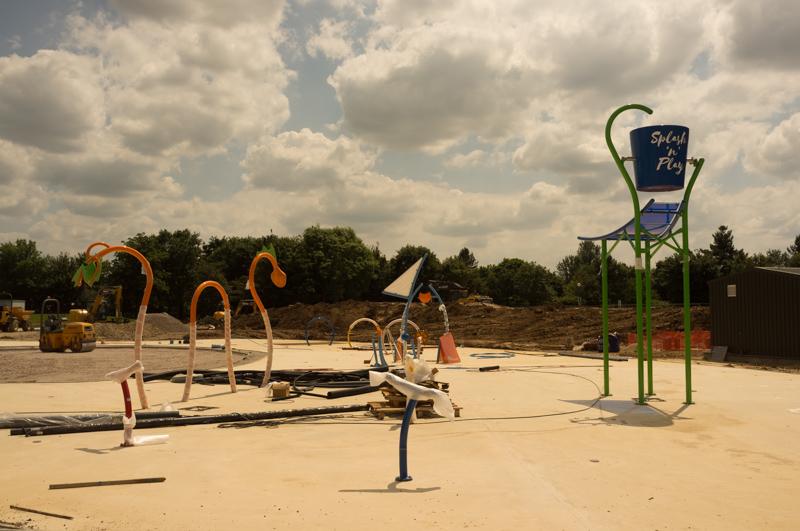
We continued along the canal all the way to the park around Willen Lake.
We walked past the peace pagoda (it’s impressive, first in the western world and all that, but we didn’t have a close look this time, since we visited quite recently) and around the North Lake a bit before heading for a bus stop.
18th June
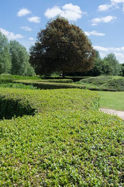
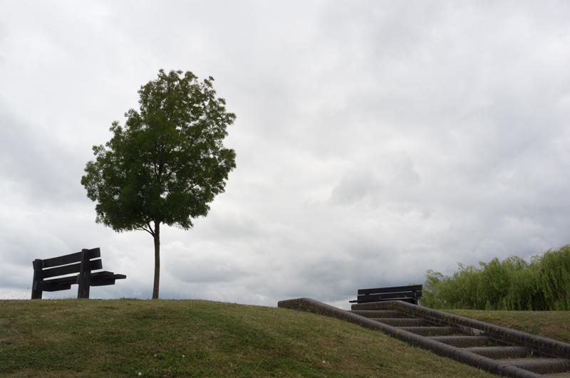
We started by walking a little way around Willen South Lake. The path then crossed Newlands toward Campbell Park.
The route circles Campbell Park anticlockwise, starting with the north side.
After returning along the south side of the park, we crossed the canal again and took a different route to return briefly to the south side of Willen South Lake, before leaving it along the River Ouzel path.
We followed the river as far as Monkston Park, then left the route to walk home.
16th July
For this final section we were able to walk the entire route without using public transport, starting by heading back to Monkston Park. The Challenge Walk follows the River Ouzel past the Open University and down to Caldecotte Lake.
The route circles most of the lake before finishing by the Caldecotte Arms pub, which was built in 1992 and, for some reason, has a full-size windmill built into its roof. We went in to get a cold drink then stayed slightly longer than intended to avoid a sudden rain shower! After that, with the official walk finished, we only had to walk home...
Conclusion
Overall this was a surprisingly interesting walk including several stretches I’d never walked before (and I’ve lived here a while), especially in the earlier sections. It’s a little surprising just how many historical features and interesting parks they managed to include on the route - on the other hand it’s also quite impressive that there are still several other interesting places they didn’t fit in, given a 25-mile route!