Introduction
The Lea Valley Walk is a signed long distance path (well, fairly long) that runs from the source of the River Lea through to the Thames. As it’s relatively easy to get to, we decided to try it for our next long distance path. I walked it with my mum some years ago, but I don’t remember all that much; as it soon turned out, the route has changed anyway.
Leagrave
We got a collection of trains to Leagrave station, then started by walking north to the official source of the river.
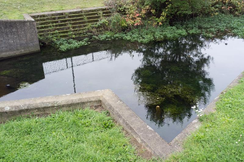
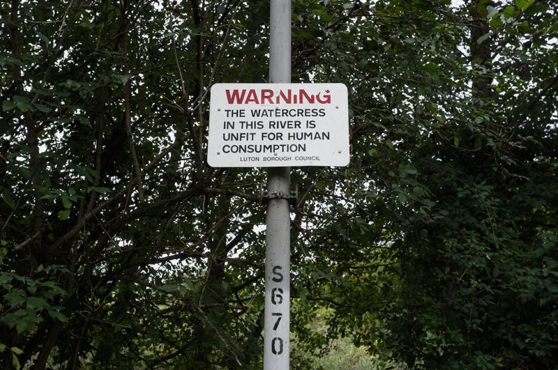
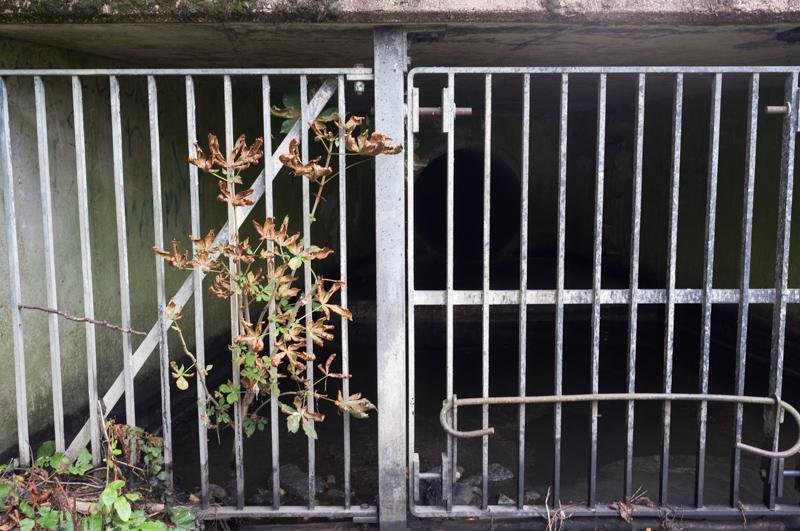
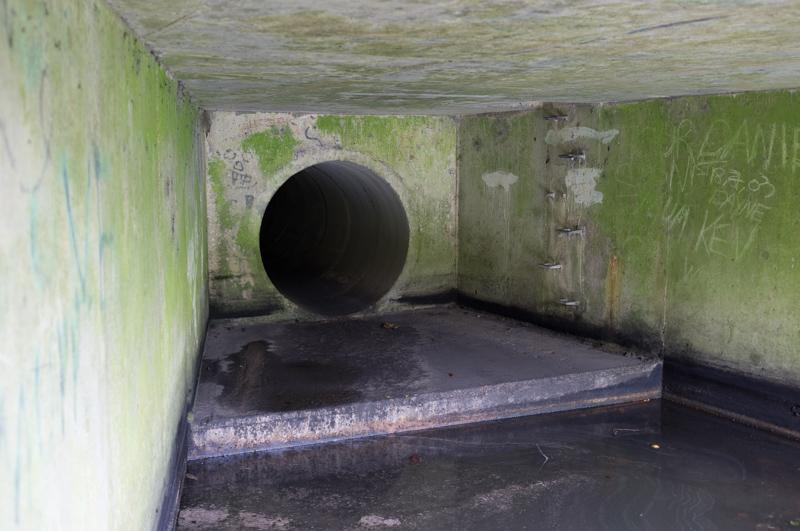
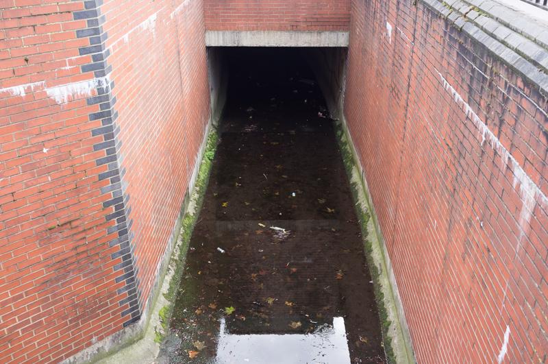
The official source of the river I vaguely remembered (albeit mostly from one of my dad’s photos; the implied source of the river in that shot should probably remain unmentioned, but was funny). It’s a large concrete storm drain. Quite exciting. I climbed down to river level to get a better view.
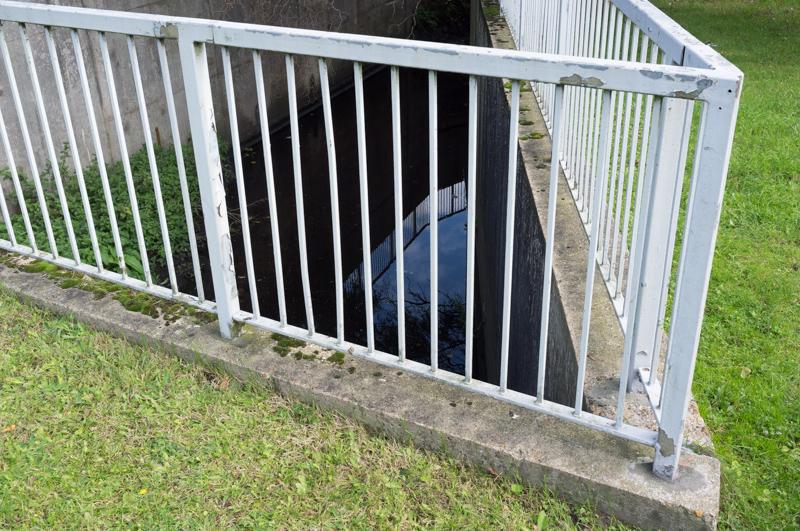
Having reached the source we then had to walk right back down the river to where we started; a little pointless, but we did want to start at the proper beginning.
Leagrave to Luton
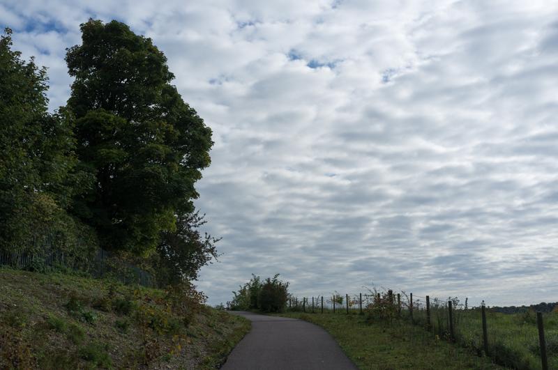
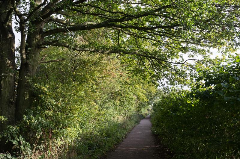
The route to Luton runs mainly on riverside paths through parks.

Luton
Luton town centre is somewhat convoluted (we lost the path for a bit). Apart from that, it is fairly similar to what you probably imagine when you hear the phrase ‘Luton town centre’.

Around the airport
We left Luton in the direction of the airport.
The path used to have quite good views of the airport from a hill. The last time I walked that part, we met somebody practicing trumpet there, so as not to disturb anyone other than passing aeroplanes. Remembering this wasn’t very helpful, and nor was my slightly old OS map. They’ve rerouted the path to stay south of the railway line (well clear of the airport). We got significantly lost for a while.

To Harpenden
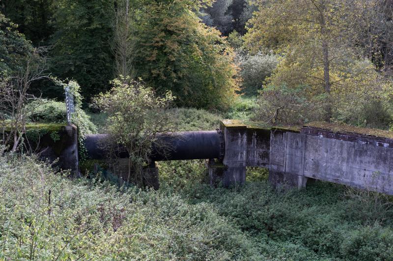
The rest of the route to Harpenden followed the trackbed of a dismantled railway, past a large sewage works and through a little open countryside.

We reached Harpenden and the train home.