Lake District (Ennerdale Bridge)

Introduction

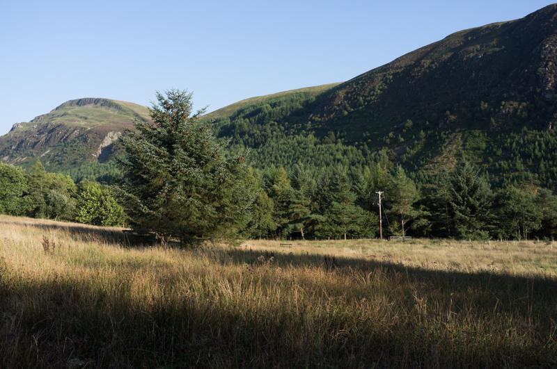
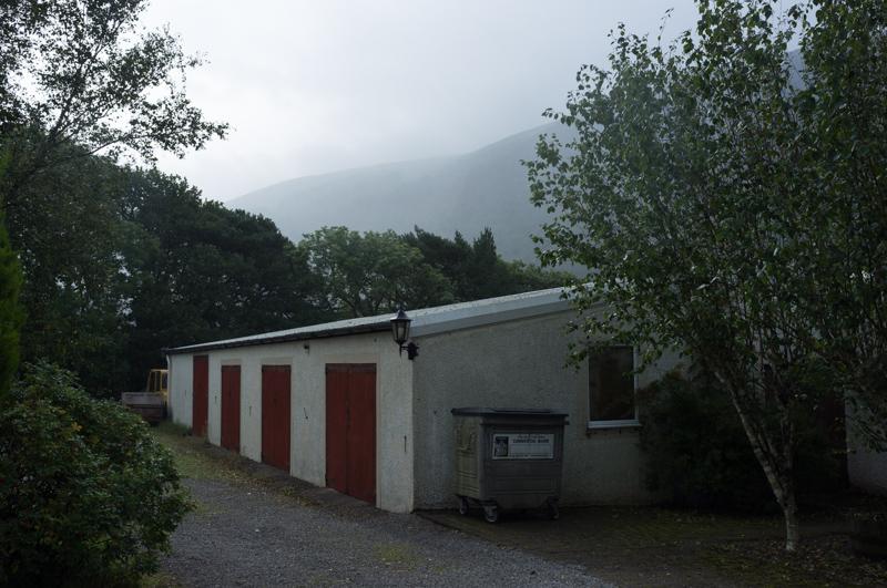
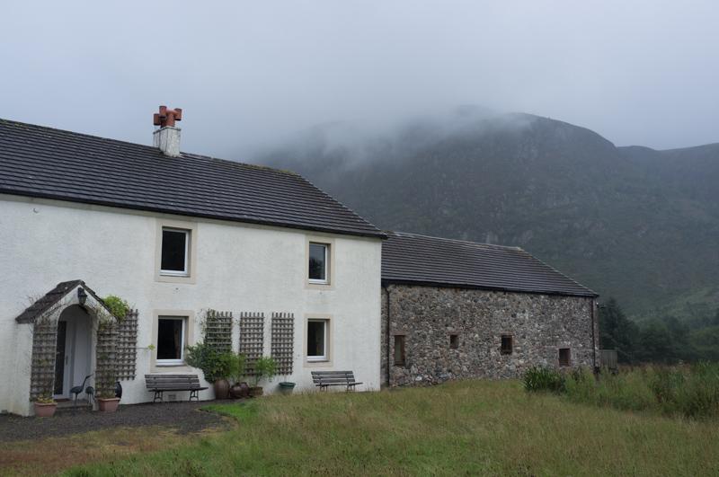
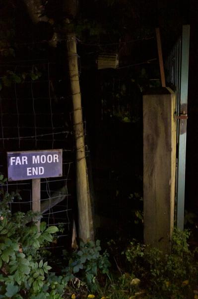
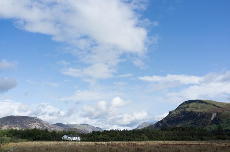
R and I joined this year’s Ashram Holiday, with a group of people including my parents. We stayed in a large house called Far Moor End near a village called Ennerdale Bridge, on the western edge of the Lake District. It’s a remote area, with no public transport.

Friday

We travelled up by train to Penrith, where we met up with my parents, and took a bus to Cockermouth. From there Ian, who lives locally and suggested this holiday, took us the rest of the way in his electric car.

View from the grounds of Far Moor End.
1/250 at f8, 23mm, ISO200 54°31′32″N 3°25′36″W

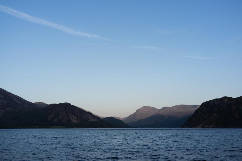
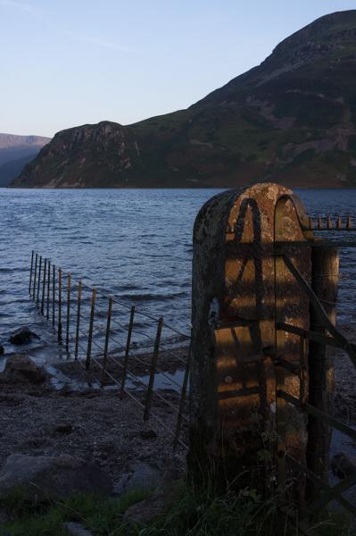
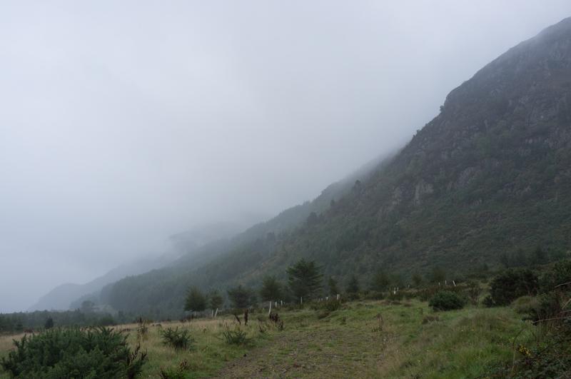
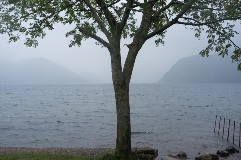
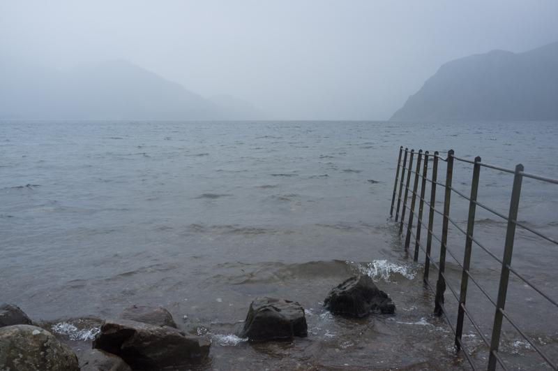
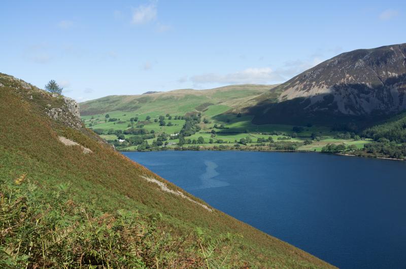
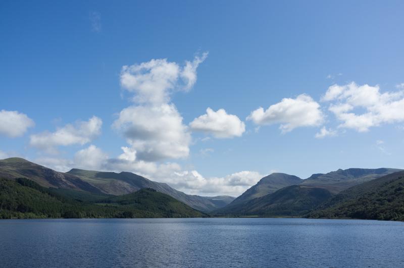
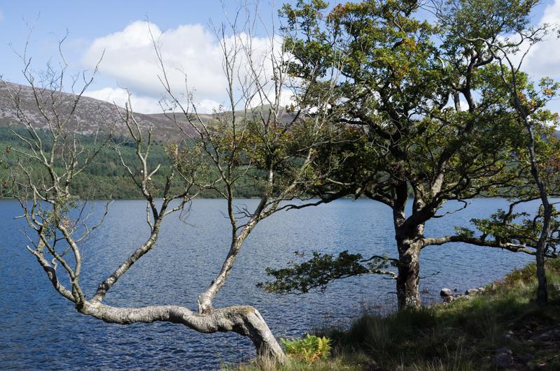
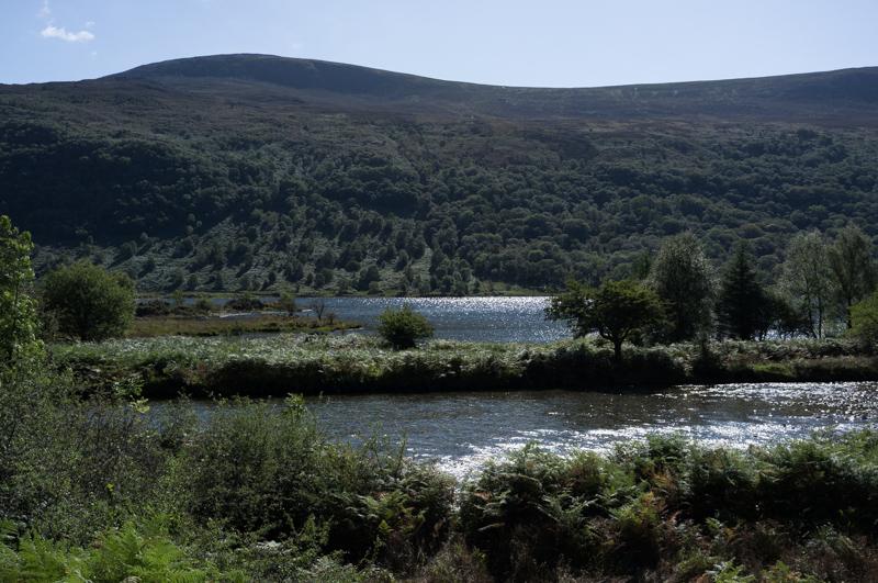
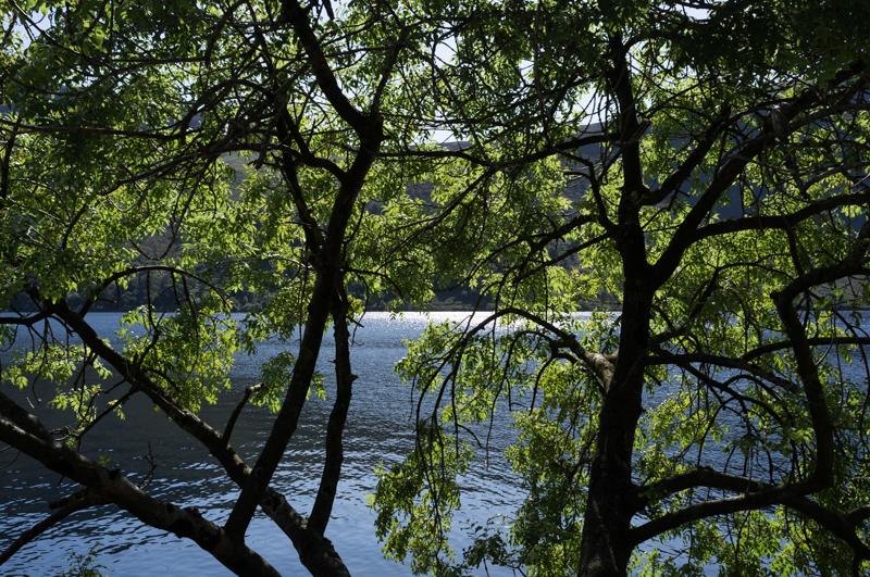
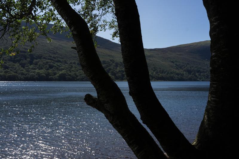
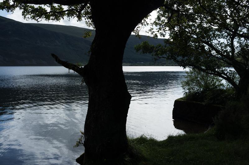
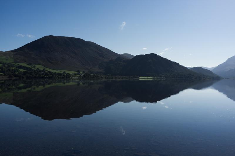
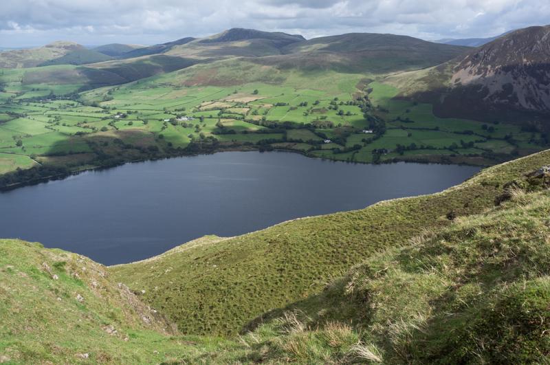
Ian took most of the group on a short walk to get our first look at Ennerdale Water, the local lake. It’s smaller than Windermere, many orders of magnitude less populated, and has been dammed so that it can be used as a reservoir.

Late afternoon view east along the length of the lake.
1/250 at f8, 23mm, ISO200 54°31′44″N 3°24′23″W
Gatepost and fence in the lake. Background: Anglers’ Crag and Crag Fell.
1/250 at f8, 23mm, ISO200 54°31′45″N 3°24′23″W

Saturday

The Lake District is one of the rainiest areas of the UK (not surprising – all that water has to come from somewhere). Saturday in particular was a good day to visit the community café in Ennerdale Bridge, and see inside the church. We also took a short local walk.

Garages at Far Moor End.
1/500 at f8, 23mm, ISO200
Slopes of Grike, the nearest large hill.
1/250 at f8, 23mm, ISO200 54°31′22″N 3°25′42″W
Derelict water mill.
1/250 at f8, 23mm, ISO200 54°31′28″N 3°25′15″W
Gate with web.
1/1000 at f2.8, 23mm, ISO200 54°31′29″N 3°25′14″W
Far Moor End, with Grike behind, and clouds.
1/250 at f8, 23mm, ISO200 54°31′34″N 3°25′34″W

Sunday

R and I were cooking the main meal on Sunday, but we did manage a short walk in the rain.

Ennerdale Water from the same place as last night (1).
1/250 at f8, 23mm, ISO200 54°31′45″N 3°24′23″W
Ennerdale Water (2).
1/250 at f8, 23mm, ISO200 54°31′45″N 3°24′23″W

Monday

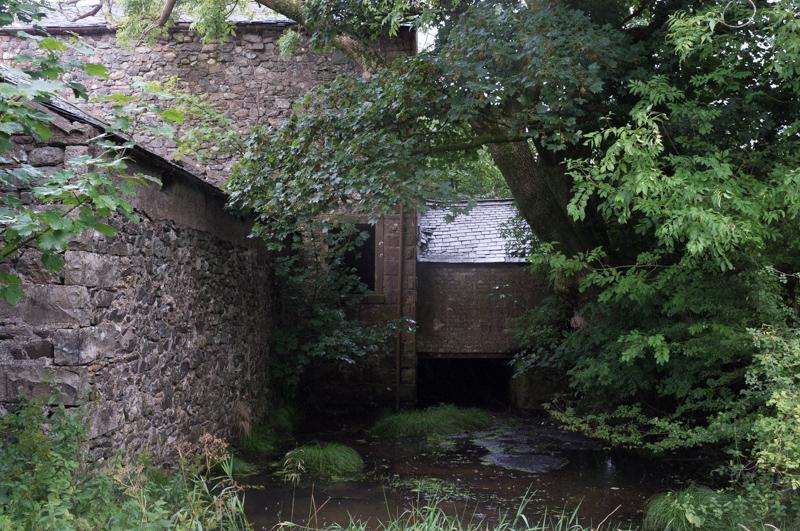
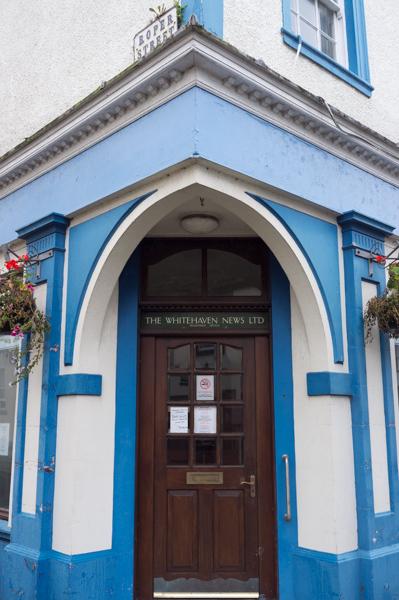
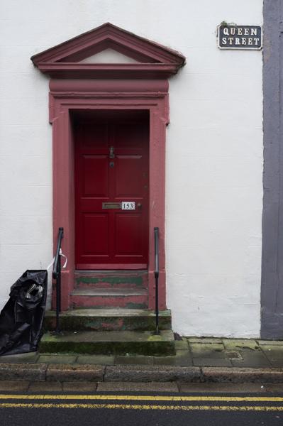
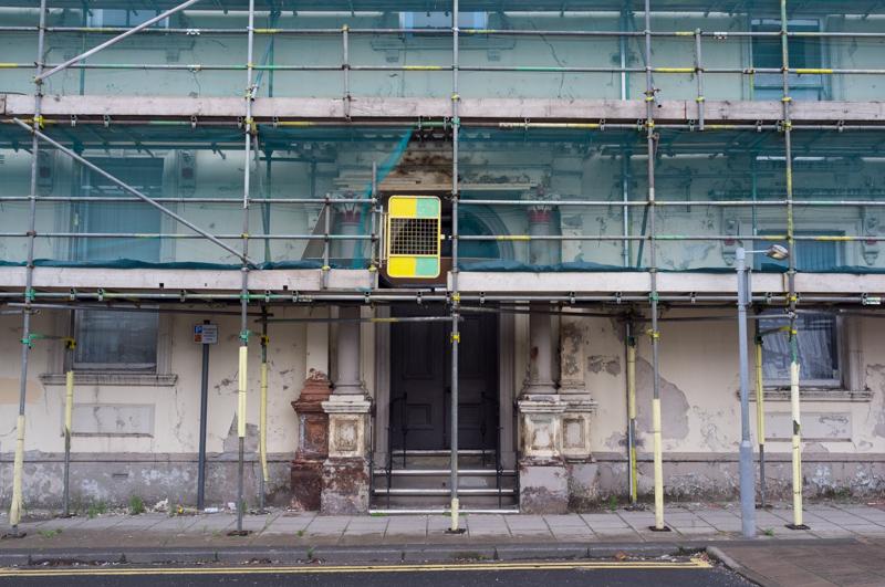
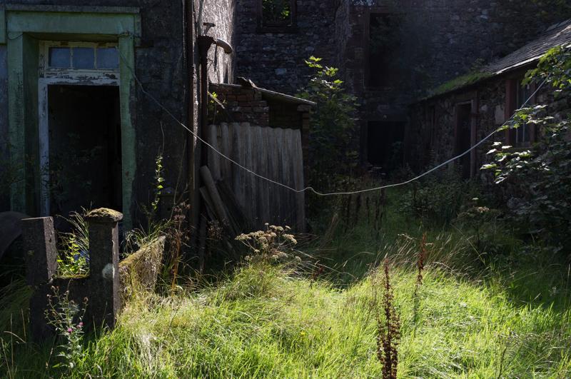
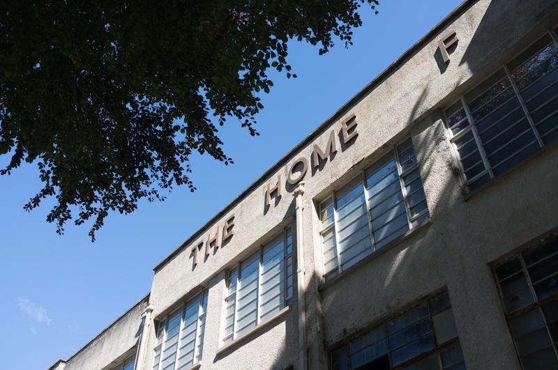
Most of the group went to visit Whitehaven, the nearest coastal town. We saw the museum and walked around town a bit. There are many impressive old buildings from the town’s boom years, although those were a long time ago.

Public baths (disused).
1/250 at f8, 23mm, ISO200
Whitehaven News offices (empty; they moved elsewhere).
1/125 at f8, 23mm, ISO200
Red doorway.
1/125 at f8, 23mm, ISO200
Yellow and green scaffolding on another aging building.
1/125 at f8, 23mm, ISO200

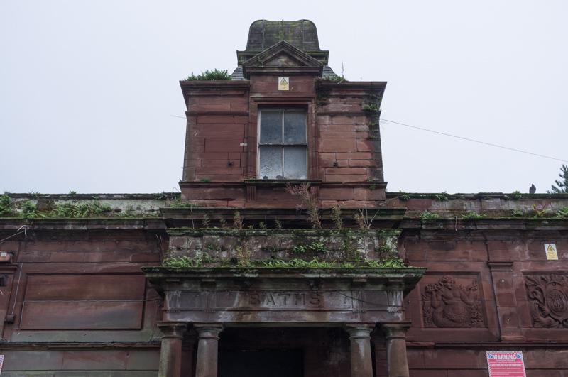
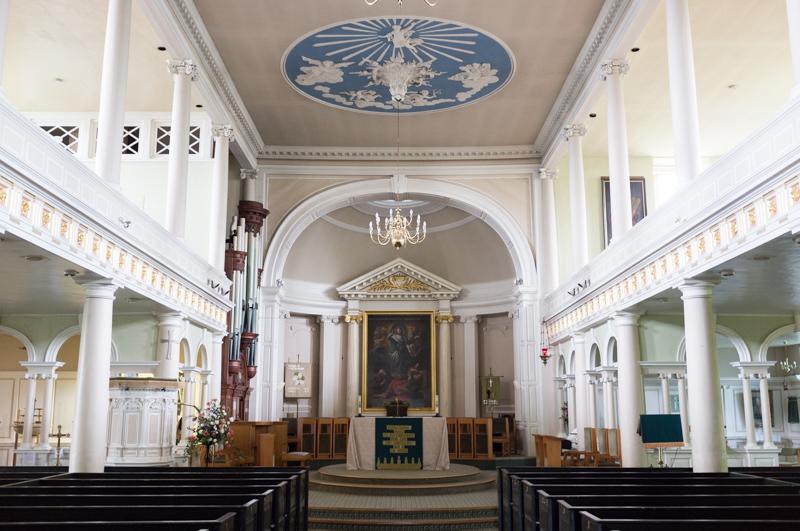
The old church nearest the centre is ruined, but has a rather nice café in the remaining part. There’s a newer church up the hill.

The newer (and very impressive) church.
1/15 at f2.8, 23mm, ISO400
Bright cyan house.
1/250 at f8, 23mm, ISO200

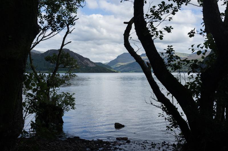
Later, we went out to see the lake at night. It was quite dark.
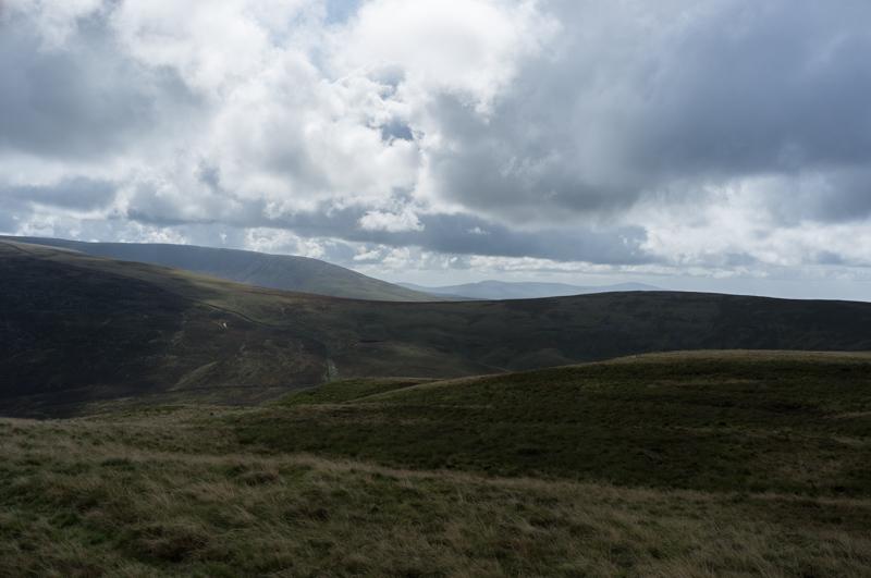
House sign (Far Moor End) and gatepost.
1/15 at f2.8, 23mm, ISO1600

Tuesday

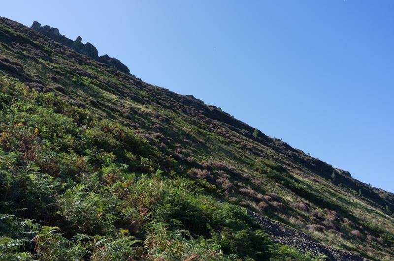
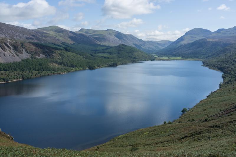
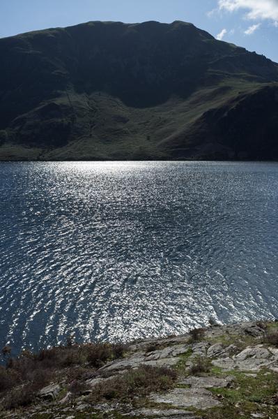
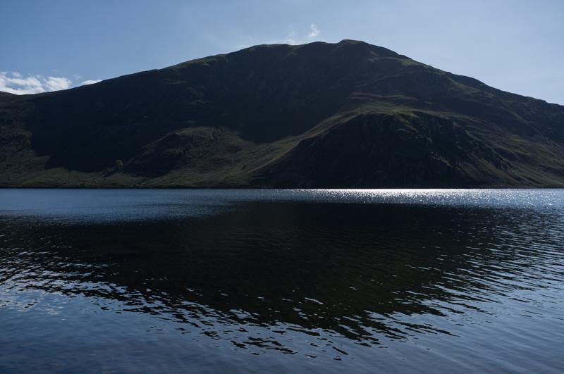
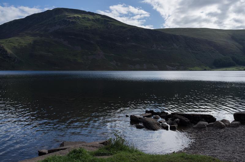
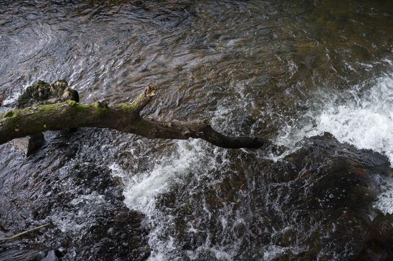
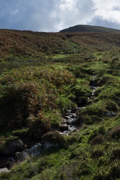
Tuesday was sunny, and Ian led us on a circular walk around Ennerdale Water.

Part of the derelict mill.
1/250 at f8, 23mm, ISO200 54°31′29″N 3°25′14″W
Crag Farm House.
1/250 at f8, 23mm, ISO200 54°31′19″N 3°24′52″W
Joining the lakeside path.
1/500 at f8, 23mm, ISO200 54°31′22″N 3°24′24″W

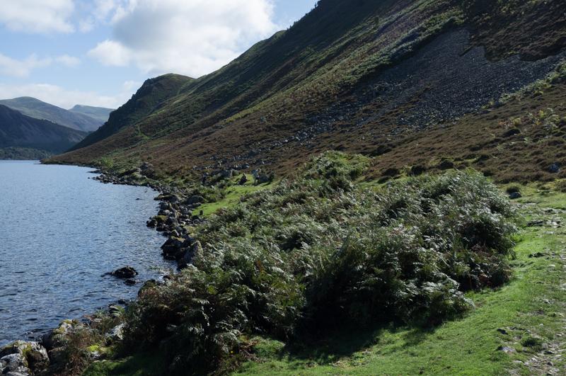
The easiest route is up and across Anglers’ Crag, a lump that juts out into the lake. This does involve going up (about 140 metres) and then down again, but the path is not too steep.

Edge of Anglers’ Crag.
1/500 at f8, 23mm, ISO200 54°31′20″N 3°23′47″W
View down to the lake (with my shadow).
1/500 at f8, 23mm, ISO200 54°31′20″N 3°23′45″W
Looking further up at Crag Fell.
1/1000 at f8, 23mm, ISO200 54°31′18″N 3°23′33″W
Across the lake to (if I read the map correctly) Herdus and Great Borne.
1/1000 at f8, 23mm, ISO200 54°31′19″N 3°23′31″W
Eastward lake view. This picture looks like the whole lake, but...
1/500 at f8, 23mm, ISO200 54°31′16″N 3°23′30″W
...here’s the view behind; it continues around the corner of the hill.
1/500 at f8, 23mm, ISO200 54°31′14″N 3°23′24″W

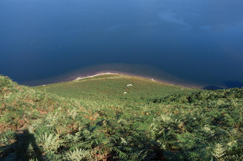
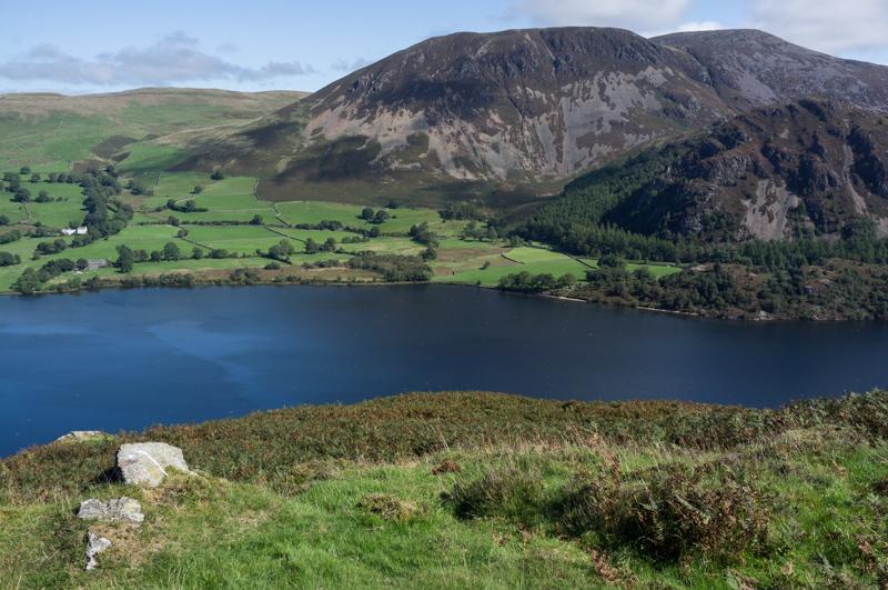
After descending to lake level, we followed the lakeside path around the rest of the southern bank.

End of the lake and eastern hills.
1/1000 at f8, 23mm, ISO200 54°31′14″N 3°23′13″W
North bank.
1/500 at f8, 23mm, ISO200 54°30′58″N 3°22′32″W
Lakeside trees.
1/500 at f8, 23mm, ISO200 54°30′55″N 3°22′10″W
Grassy field and tree shadows at the east end of the lake.
1/500 at f8, 23mm, ISO200 54°30′45″N 3°20′40″W

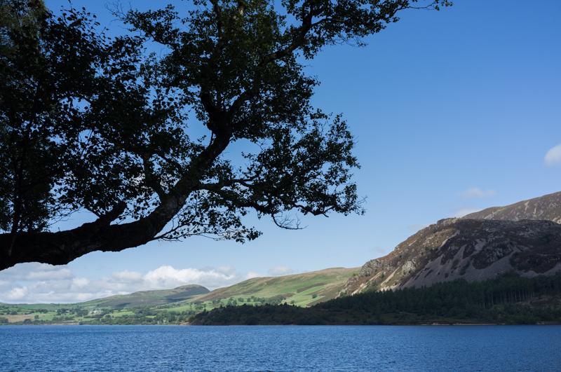
On the northern bank we followed a track some of the way, then an easy lakeside path.

Looking across the river (marked as Char Dub) before it enters the lake.
1/1000 at f8, 23mm, ISO200 54°31′3″N 3°21′9″W
South bank through tree leaves.
1/250 at f11, 23mm, ISO200 54°31′22″N 3°22′20″W
South bank through tree trunks.
1/250 at f16, 23mm, ISO200 54°31′7″N 3°21′20″W
South bank (Crag Fell) with sunlight.
1/1000 at f8, 23mm, ISO200 54°31′31″N 3°22′51″W
Crag Fell (with Anglers’ Crag) and its shadow (1).
1/1000 at f8, 23mm, ISO200 54°31′43″N 3°22′56″W
Trees on bank.
1/1000 at f8, 23mm, ISO200 54°31′59″N 3°23′49″W
Crag Fell and its shadow (2).
1/500 at f8, 23mm, ISO200 54°31′56″N 3°24′0″W
View east along the lake between trees.
1/250 at f11, 23mm, ISO200 54°31′50″N 3°24′18″W

Wednesday

Morning look at the still lake.
1/2000 at f8, 23mm, ISO200

David kindly gave us a lift into Keswick (and back from Cockermouth later), because we wanted to see the pencil museum that we had missed in our last trip to the area.

Part of the old pencil factory (it used to say ‘The Home of Cumberland Pencils’).
1/250 at f8, 23mm, ISO200 54°36′15″N 3°8′29″W

Thursday

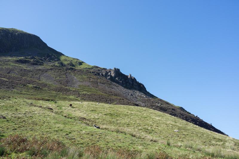
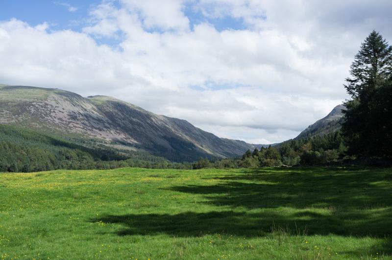
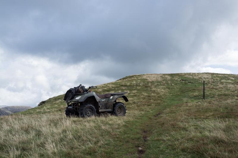
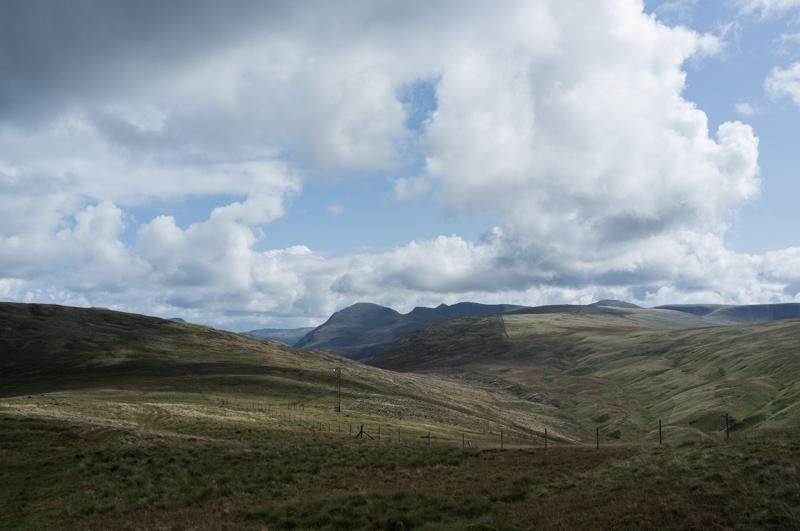
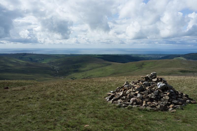
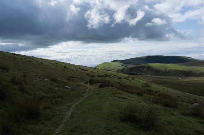
A group, including us, decided to try walking to the two nearest hill summits listed in the Wainwright books: Crag Fell and Grike.

Branch in the River Ehen.
1/1000 at f2.8, 23mm, ISO200 54°31′30″N 3°25′41″W

We took a fairly easy and direct path that angled up the hill.

Plantation on the lower slopes of Grike.
1/250 at f8, 23mm, ISO200 54°31′13″N 3°24′52″W
Looking down at the lake and building work by the weir.
1/250 at f8, 23mm, ISO200 54°31′11″N 3°24′36″W
Following Ben Gill up the hill.
1/1000 at f8, 23mm, ISO200 54°31′11″N 3°24′35″W
A shepherd‘s quad bike.
1/500 at f8, 23mm, ISO200 54°31′3″N 3°24′5″W

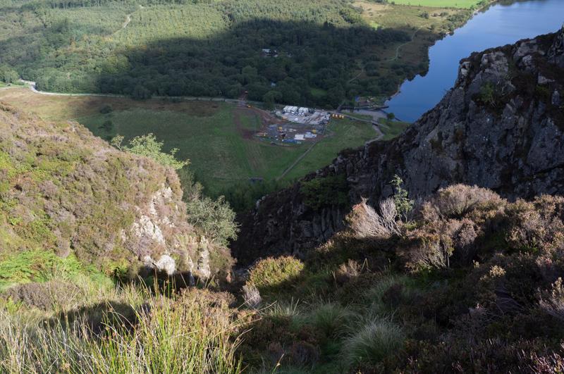
There are two summits of Crag Fell (523 and 522 metres above sea level) and we visited both.

Lake and hills to the north.
1/1000 at f8, 23mm, ISO200 54°31′3″N 3°24′4″W
Eastern lake and hills beyond.
1/500 at f8, 23mm, ISO200 54°30′58″N 3°23′40″W
Southern view from the top.
1/1000 at f8, 23mm, ISO200 54°30′58″N 3°23′41″W

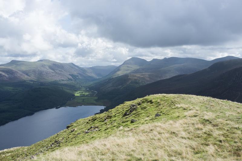
From Crag Fell we walked along the hilltops to Grike, which is a little lower (488 metres).

Eastward hills and radio mast (an atmospheric monitoring station built for Sellafield, I think).
1/1000 at f8, 23mm, ISO200 54°30′49″N 3°24′38″W
View toward the sea and the Isle of Man beyond.
1/1000 at f8, 23mm, ISO200 54°30′49″N 3°24′53″W
Cairn on top of Grike, with view toward Sellafield nuclear reprocessing plant and the sea.
1/1000 at f8, 23mm, ISO200 54°30′49″N 3°24′53″W

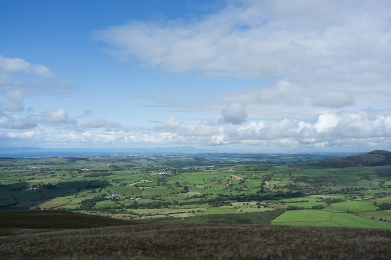
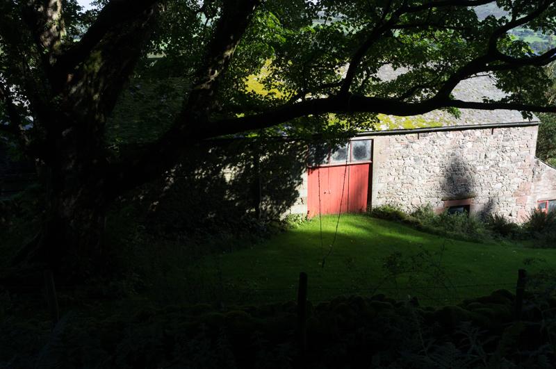
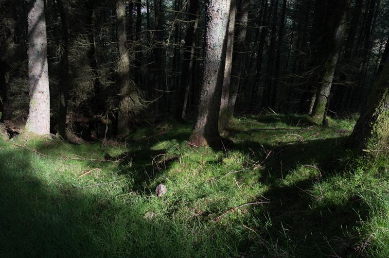
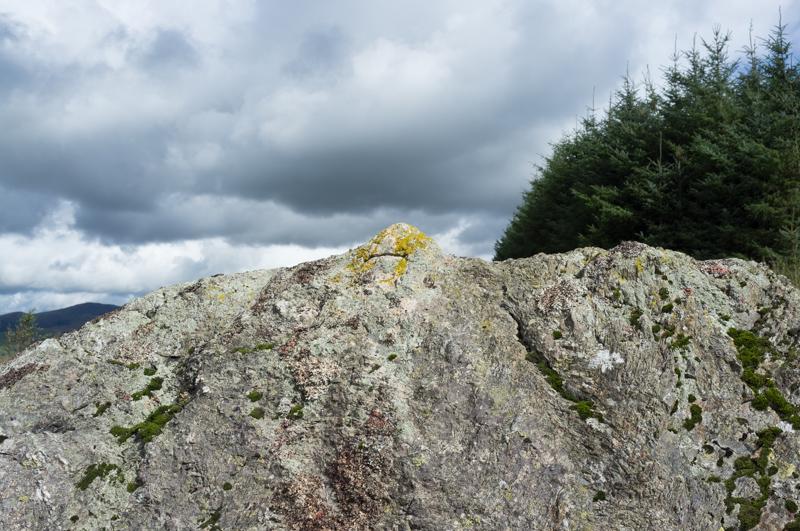
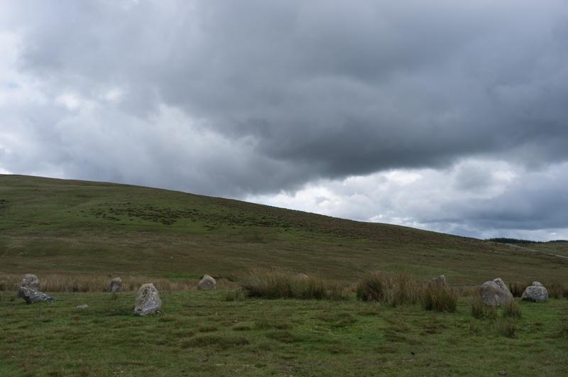
We then descended by a forestry track toward the Great Stone of Blakeney, which as we had previously been warned is not particularly great.

It’s basically a rock at the edge of a field.
1/1200 at f8, 23mm, ISO200 54°30′46″N 3°26′38″W

We continued to the road and followed it back into the village, and then to Far Moor End.

Path to the road.
1/1200 at f8, 23mm, ISO200 54°30′45″N 3°26′36″W
Stone circle by road.
1/250 at f8, 23mm, ISO200 54°30′46″N 3°27′12″W
Looking in the direction of the lake (Crag Fell on the right).
1/1000 at f8, 23mm, ISO200 54°31′45″N 3°25′51″W
Cables at the end of Far Moor End.
1/500 at f11, 23mm, ISO200

Friday

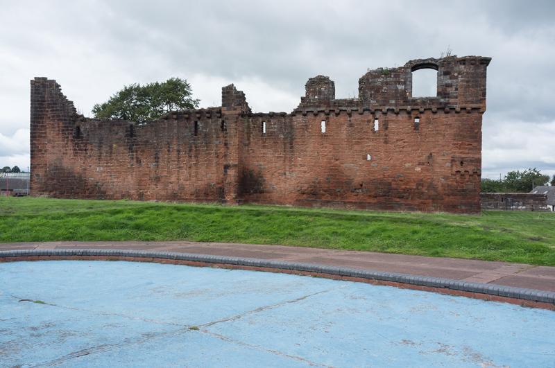
Sadly we had to go home on Friday. This involved waiting in Penrith for a train. The station is quite near Penrith Castle...

One tower of the castle, and arched roof below.
1/500 at f8, 23mm, ISO200 54°39′43″N 2°45′26″W
More of the castle behind a dry paddling pool.
1/500 at f8, 23mm, ISO200 54°39′42″N 2°45′23″W

All images © Samuel Marshall. All rights reserved.