Lake District (1)

Introduction

For the second part of our honeymoon, R and I went to the Lake District for a week. We stayed in a very nice (and tiny) cottage, in the grounds of somebody’s house in Windermere, and travelled around by bus.

There are quite a lot of photos, so I‘ve split this into two parts.

Saturday

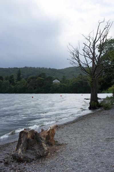
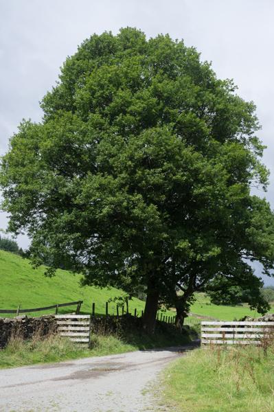
Arriving by train from York, we found the cottage and got settled in. After that we went for a short walk down to the lakeside; good to see an actual lake once you arrive in the Lake District.

The first pretty waterfall we saw.
1/15 at f4, 23mm, ISO800 54°22′52″N 2°55′12″W
A nice tree by the lake.
1/30 at f4, 23mm, ISO200 54°22′51″N 2°55′18″W
Boathouse and greyish lake view.
1/125 at f8, 23mm, ISO200 54°22′50″N 2°55′18″W

Sunday

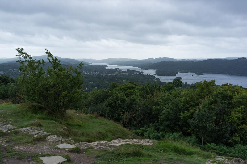
We walked up to the local viewpoint, a hill called Orrest Head. The summit is 238 metres above sea level (ground here being about 50 metres), which means it isn’t very high by local standards, although R would point out that it definitely counts as a mountain in East Anglia.

Mossy wall by a road on the way up.
1/30 at f2.8, 23mm, ISO200 54°23′0″N 2°54′17″W
View from the top looking south along Lake Windermere.
1/250 at f8, 23mm, ISO200 54°23′10″N 2°54′13″W
View inland.
1/200 at f8, 23mm, ISO200 54°23′10″N 2°54′13″W
Tilted tree.
1/125 at f8, 23mm, ISO200 54°23′17″N 2°54′9″W
Stream.
1/250 at f8, 23mm, ISO200 54°23′30″N 2°53′59″W
Grating in building.
1/15 at f2.8, 23mm, ISO200 54°23′1″N 2°54′24″W

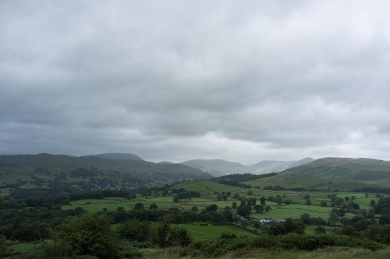
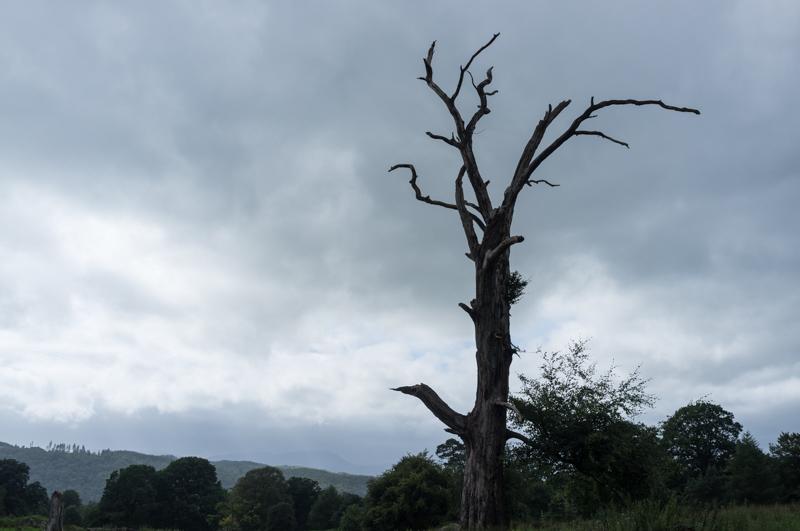
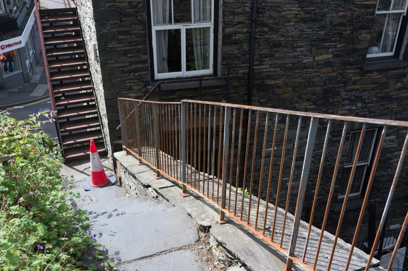
Later in the afternoon we took a walk to Bowness, the next town down the lake, and around the amusingly-named Cockshott Point.

Nice dead tree.
1/500 at f8, 23mm, ISO200 54°22′38″N 2°54′40″W
Looking across (some of) the lake at Belle Isle House.
1/250 at f8, 23mm, ISO200 54°21′33″N 2°55′51″W

Monday

A short trip on the (rather expensive) local bus took us to Ambleside, the next town northwards. Some of the buses are open-topped, so you can take pictures from them and/or get rained on.

Small hill and trees, from the bus. Sign: Ambleside Flower Show.
1/500 at f8, 23mm, ISO200 54°23′57″N 2°56′4″W

Ambleside is rather prettier than Windermere, but doesn’t have a railway station. We wandered around the town and had lunch in a rather nice café.

Not part of the flower show.
1/125 at f5.6, 23mm, ISO200 54°25′49″N 2°57′54″W
Picture from a very small house built into a bridge, which is open to the public.
1/125 at f8, 23mm, ISO200 54°25′59″N 2°57′48″W
Nonfunctional water-wheel.
1/250 at f8, 23mm, ISO200 54°25′57″N 2°57′44″W
Building with triangular chimneytops.
1/500 at f8, 23mm, ISO200 54°25′57″N 2°57′45″W
Curving path.
1/250 at f8, 23mm, ISO200 54°25′57″N 2°57′45″W

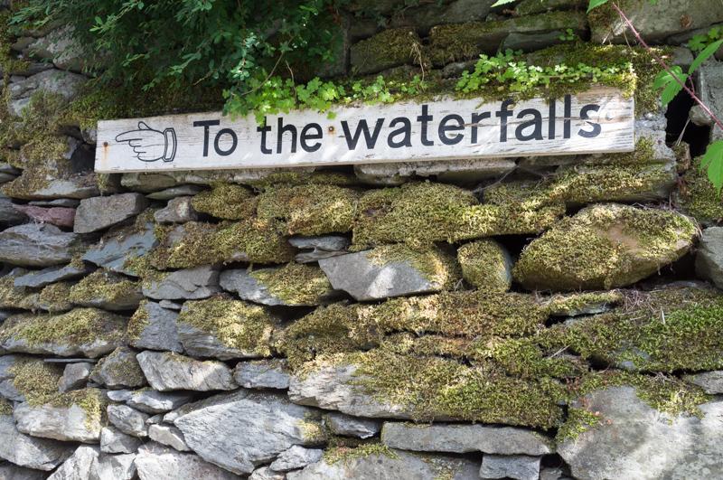
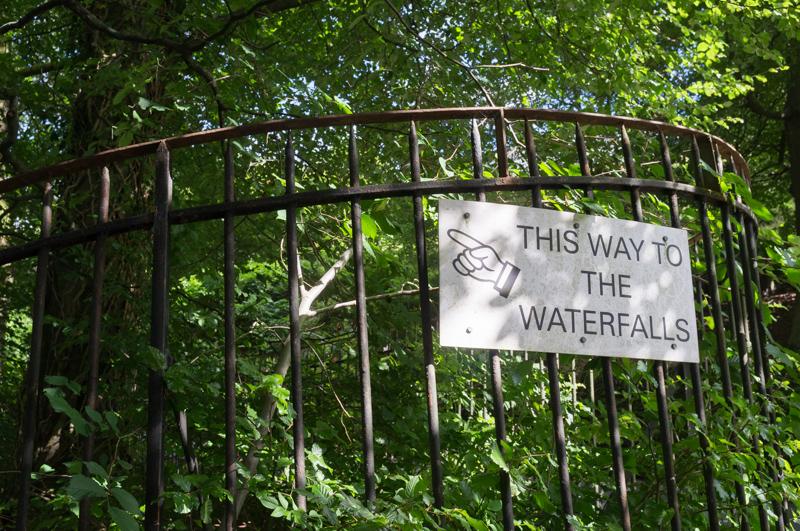
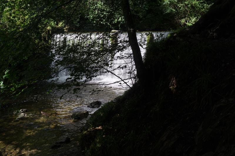
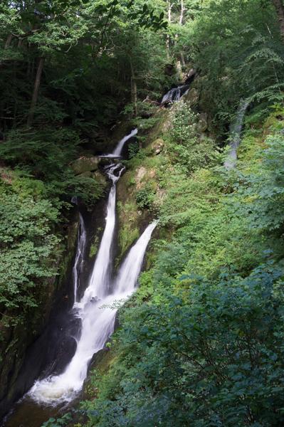
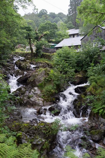
According to our agreement, this was a non-walking day (we were alternating). But there were waterfalls shown on the map very near Ambleside, so I suggested that a short stroll out there didn’t count.

Looking back down steps uphill by buildings.
1/250 at f8, 23mm, ISO200 54°25′47″N 2°57′42″W
Nice fence.
1/125 at f8, 23mm, ISO200 54°25′53″N 2°57′40″W
Helpful sign 1.
1/60 at f8, 23mm, ISO200 54°25′54″N 2°57′41″W
Helpful sign 2. They're big on the ☜ symbol here!
1/125 at f8, 23mm, ISO200 54°25′55″N 2°57′25″W
Despite appearances, we had not in fact reached the waterfalls.
1/250 at f8, 23mm, ISO200 54°25′56″N 2°57′21″W
These are the waterfalls.
1/15 at f8, 23mm, ISO200 54°25′57″N 2°57′6″W
White water, trees, and sunlight near the top (1).
1/125 at f8, 23mm, ISO200 54°25′57″N 2°57′1″W
White water, trees, and sunlight near the top (2).
1/125 at f8, 23mm, ISO200 54°25′57″N 2°57′2″W

Tuesday

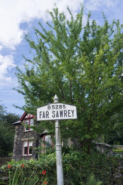
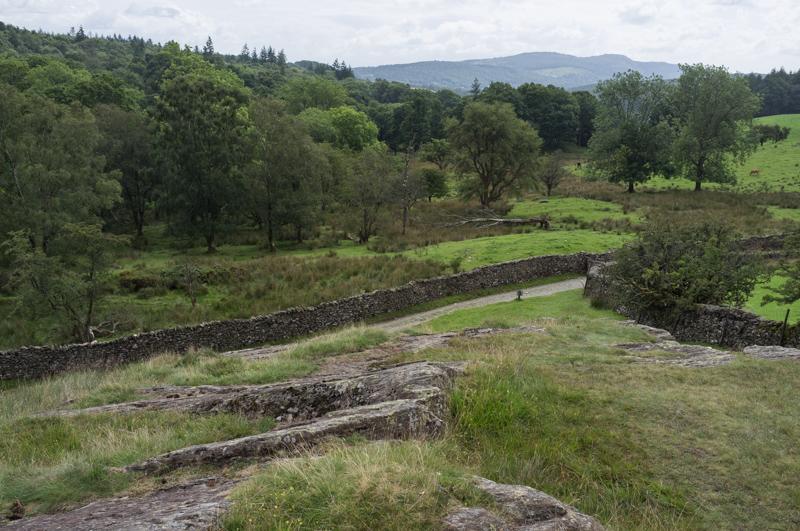
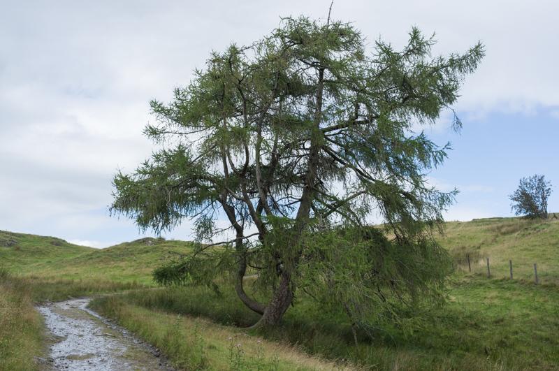
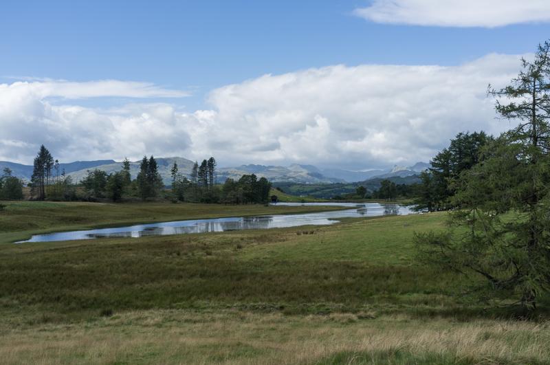
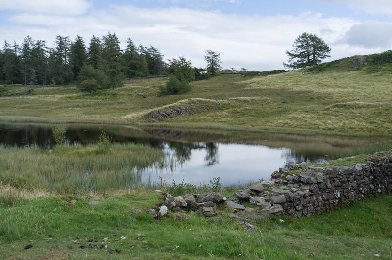
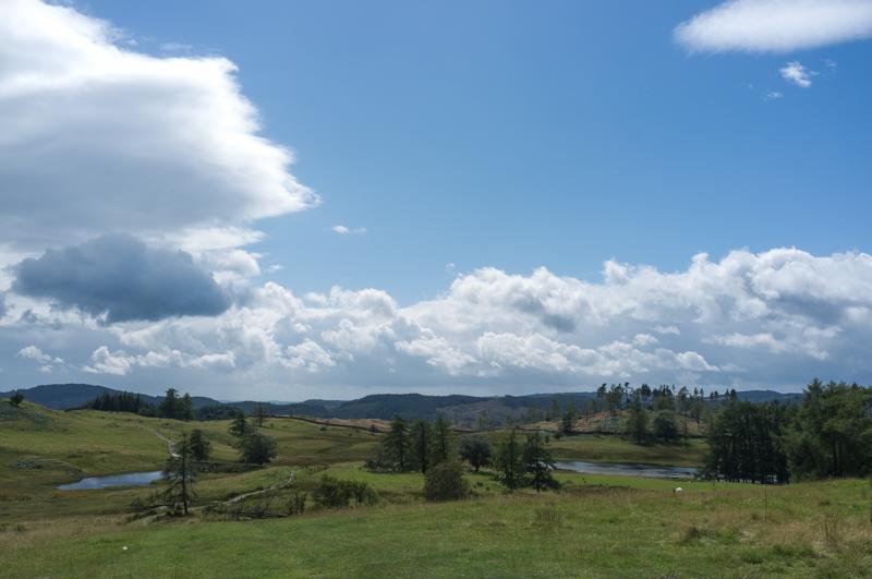
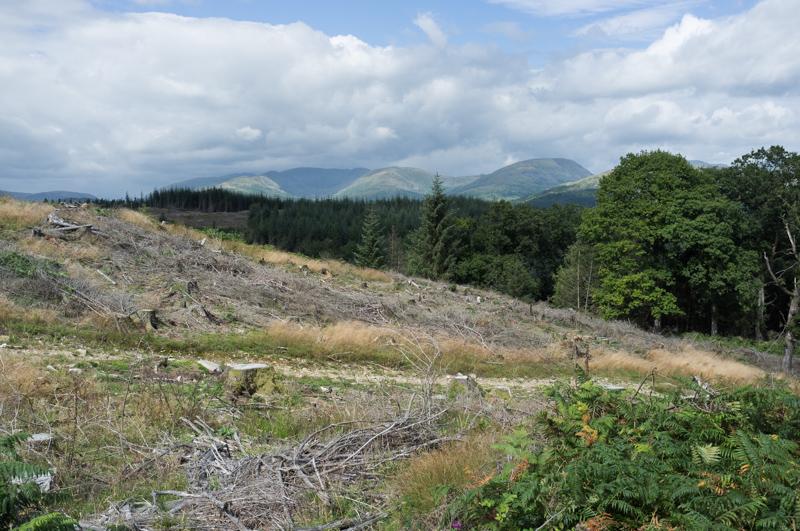
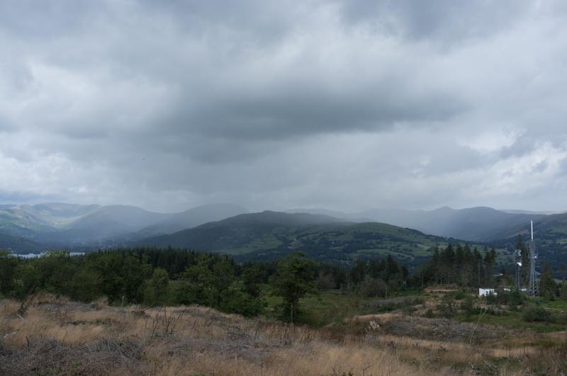
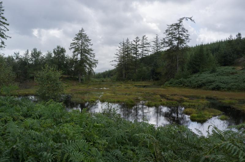
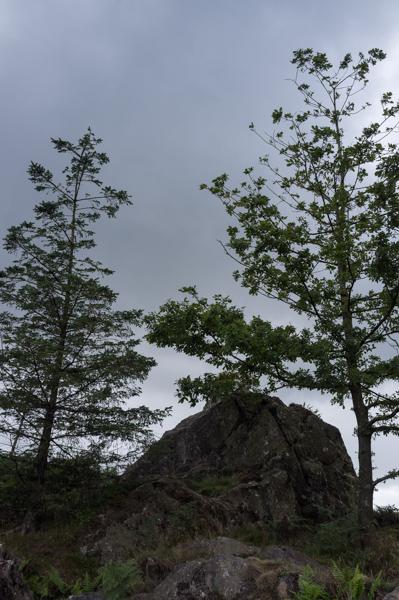
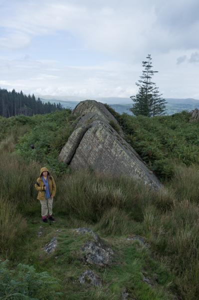
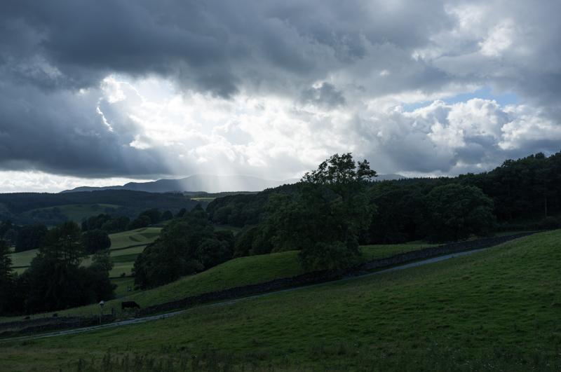
On Tuesday we planned a walk on the opposite side of the lake, using the publicly-run ferry from Bowness (of which more later). The circular walk went to the village of Far Sawrey, then in a large loop around an area called Claife Heights.

Signpost for Far Sawrey.
1/500 at f8, 23mm, ISO200 54°20′54″N 2°56′55″W
Nice tree (1).
1/500 at f8, 23mm, ISO200 54°21′8″N 2°57′32″W
Lane.
1/500 at f8, 23mm, ISO200 54°21′9″N 2°57′33″W
Footbridge.
1/125 at f8, 23mm, ISO200 54°21′19″N 2°57′51″W
Nice tree (2).
1/500 at f8, 23mm, ISO200 54°21′26″N 2°57′58″W

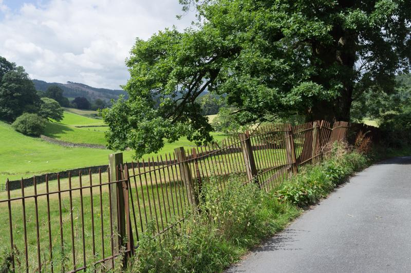
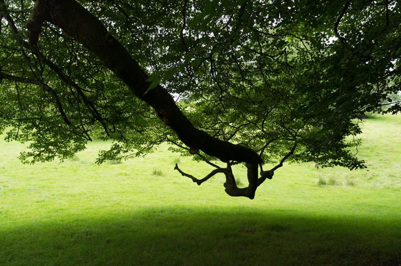
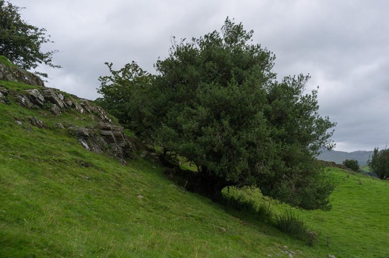
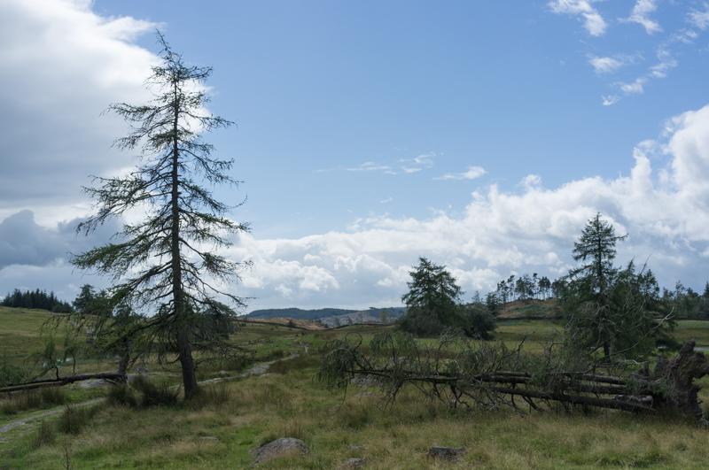
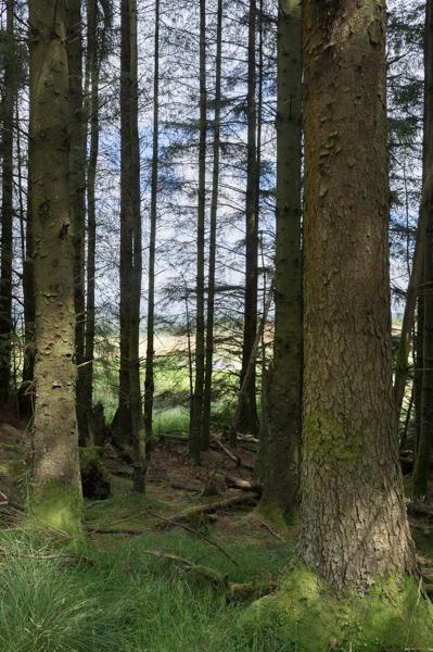
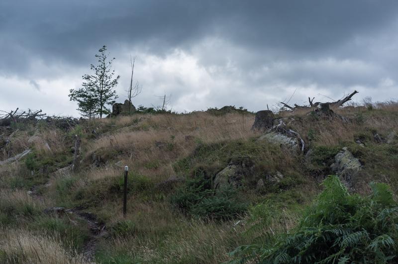
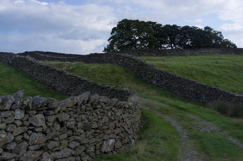
After a little way out, the path starts looking a bit more rugged and the landscape a little wilder (well, for England).

Rocks near Moss Eccles Tarn.
1/500 at f8, 23mm, ISO200 54°21′43″N 2°58′3″W
Track and trees.
1/500 at f8, 23mm, ISO200 54°21′59″N 2°57′56″W
We ate our lunch overlooking Wise Een Tarn.
1/500 at f8, 23mm, ISO200 54°22′6″N 2°58′3″W
The Scale Tarn.
1/250 at f8, 23mm, ISO200 54°22′9″N 2°58′3″W
Trees, some of which are even the right way up.
1/1000 at f8, 23mm, ISO200 54°22′13″N 2°57′59″W
Looking back at the last two tarns.
1/500 at f8, 23mm, ISO200 54°22′17″N 2°57′57″W
Damp footpath.
1/1000 at f8, 23mm, ISO200 54°22′18″N 2°57′56″W
Plantation treetrunks.
1/250 at f8, 23mm, ISO200 54°22′24″N 2°57′52″W
Cleared forest.
1/500 at f8, 23mm, ISO200 54°22′31″N 2°57′42″W
Radio transmitter, Windermere, oncoming weather.
1/500 at f8, 23mm, ISO200 54°22′19″N 2°57′14″W
Marshy pond.
1/250 at f8, 23mm, ISO200 54°22′12″N 2°57′9″W
Desolate landscape.
1/250 at f8, 23mm, ISO200 54°22′0″N 2°57′18″W
Rocky outcrop.
1/250 at f8, 23mm, ISO200 54°21′58″N 2°57′18″W
R waiting patiently by another outcrop.
1/250 at f8, 23mm, ISO200 54°21′53″N 2°57′17″W
Small but reflective pond.
1/500 at f8, 23mm, ISO200 54°21′24″N 2°57′10″W
Dry stone walls.
1/250 at f8, 23mm, ISO200 54°21′22″N 2°57′11″W
Sun shining through clouds on our way down.
1/500 at f8, 23mm, ISO200 54°21′13″N 2°57′24″W

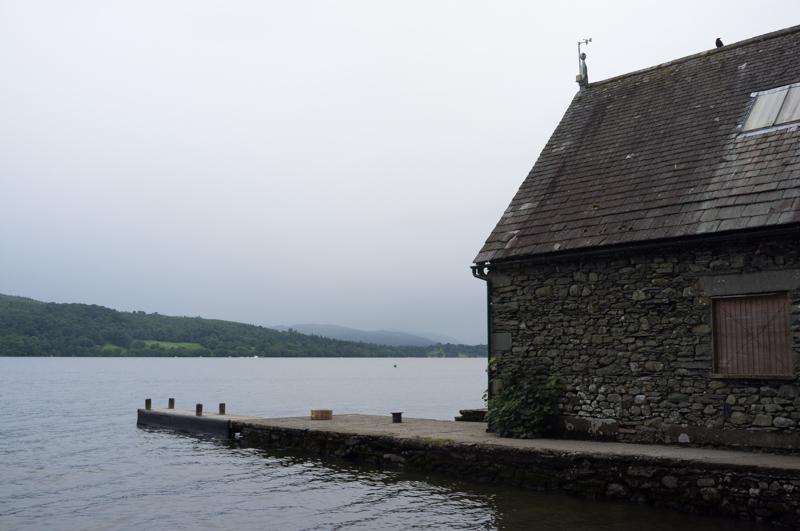
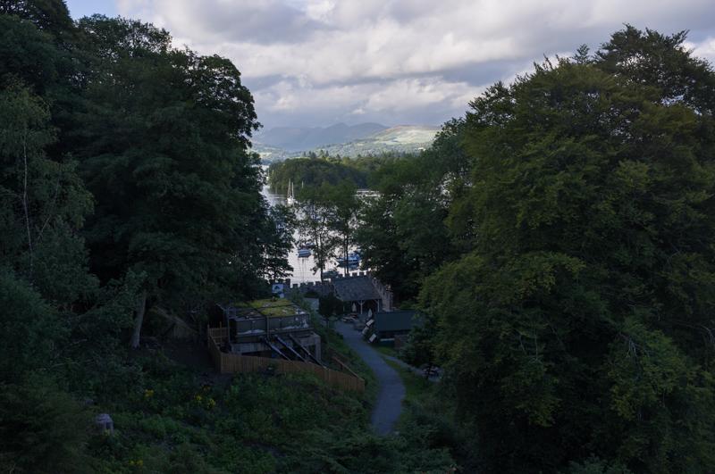
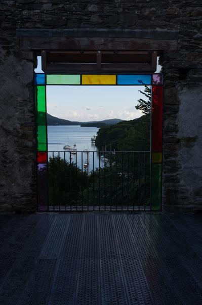
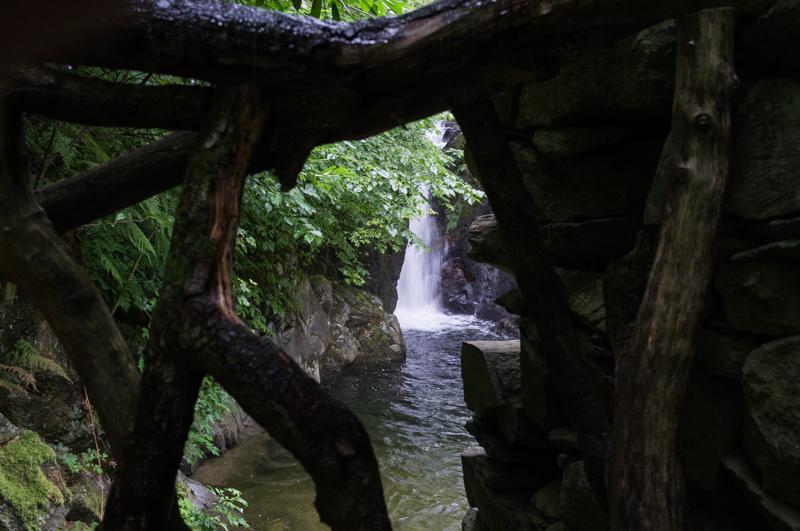
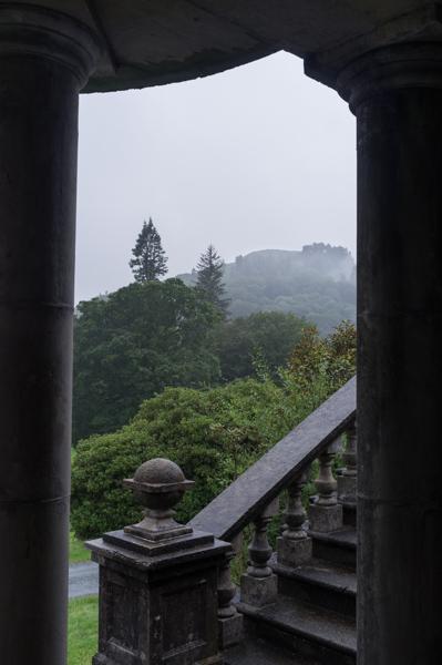
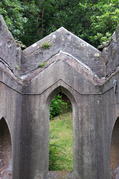
Near the ferry point there’s a building called Claife Viewing Station, built in 1790s specifically for visitors to view the lake from. We climbed up a little way to the building and did just that.

View down the road toward the lake.
1/250 at f8, 23mm, ISO200 54°21′3″N 2°56′32″W
Slightly more picturesque view from viewing station.
1/250 at f8, 23mm, ISO200 54°21′3″N 2°56′32″W

At this point, we just missed the ferry - no problem, except that, as we discovered, it had now stopped running for the day (despite being scheduled to continue until 22:00 according to their website, with no obvious signs to the contrary). Oops. We sat waiting around hoping it would come back, which could have been a long wait, but were soon rescued by a very kind local man who had arrived in his car also hoping for the ferry. He gave us a lift all the way around the lake back to Windermere.

Wednesday

We took the bus again to Grasmere, a tourist hotspot mainly featuring the Wordsworth house/museum (which we didn’t go to). After having lunch in a café, we strolled around the town.

River Rothay.
1/250 at f2.8, 23mm, ISO800 54°27′30″N 3°1′19″W

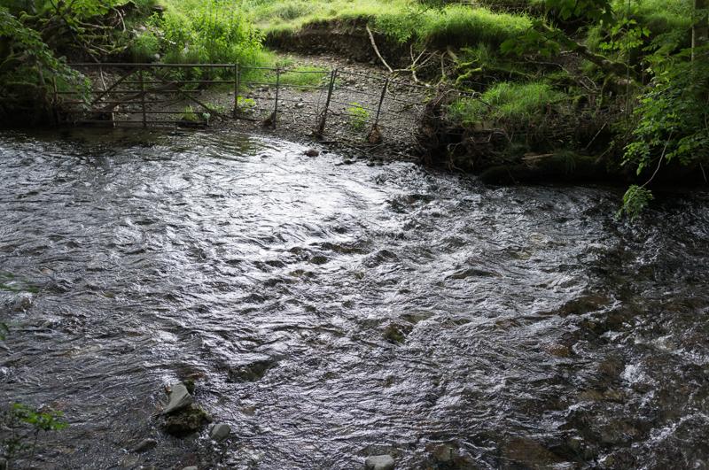
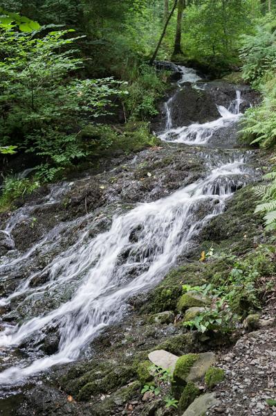
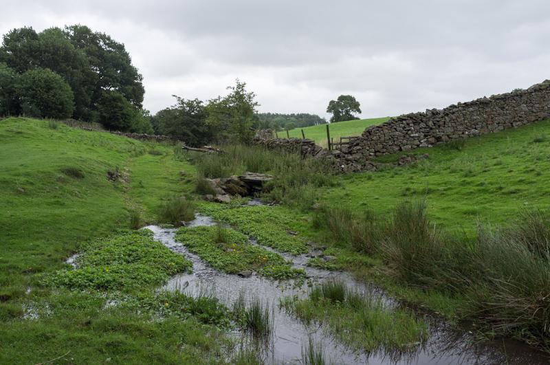
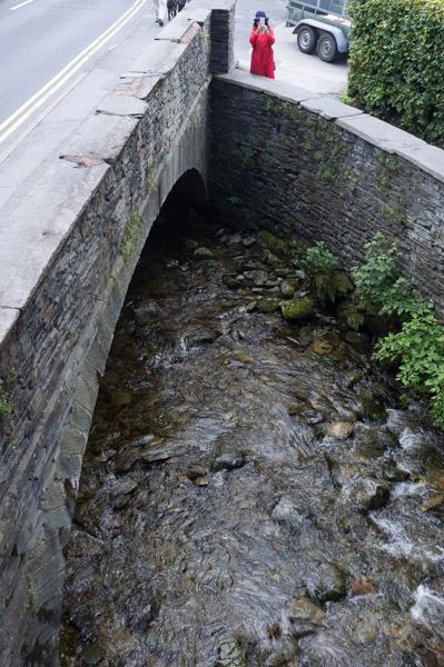
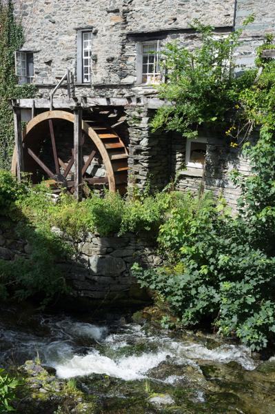
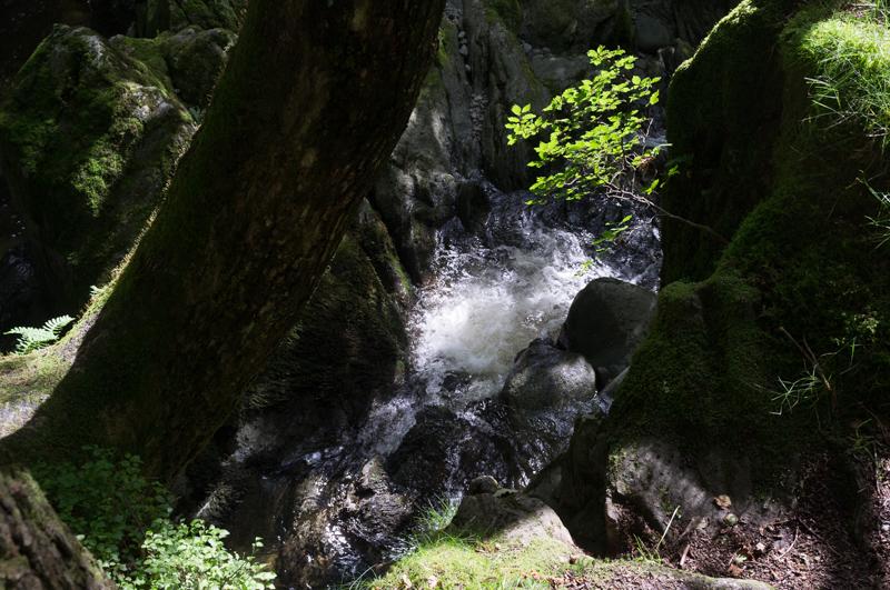
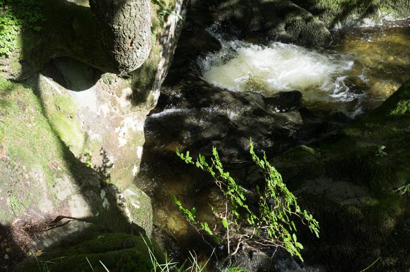
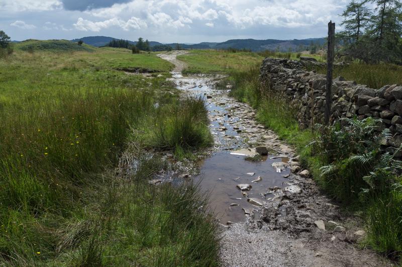
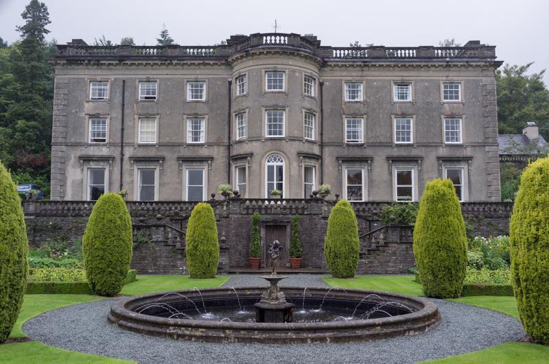
On our way back, we got off the bus at a place called Rydal, basically to see if there was anything there. Turned out that there is: there’s a stately home called Rydal Hall, which is now a Church of England retreat venue. Their grounds are open to the public, as is the tearoom in an old school house, which we found not only to be reasonably priced but possibly the best tearoom of the entire trip (and we tested quite a few). Also, right next to the tearoom there’s a fairly impressive stream.

The fairly impressive stream.
1/30 at f5.6, 23mm, ISO200 54°26′56″N 2°58′46″W
A waterfall constructed for the gardens.
1/15 at f8, 23mm, ISO400 54°26′54″N 2°58′42″W
Lion fountain. (Probably unnecessary given general climate.)
1/30 at f2.8, 23mm, ISO200 54°26′53″N 2°58′47″W
View while sheltering from said climate.
1/60 at f8, 23mm, ISO200 54°26′53″N 2°58′47″W
Rydal Hall.
1/60 at f8, 23mm, ISO200 54°26′53″N 2°58′47″W
Part of the local church.
1/15 at f8, 23mm, ISO200 54°26′50″N 2°58′54″W
Sundial in churchyard; of limited use.
1/60 at f2.8, 23mm, ISO200 54°26′49″N 2°58′55″W

More to follow in part two!

All images © Samuel Marshall. All rights reserved.