Introduction
I went to stay with my parents over Easter. We went for a couple of walks and I took some snaps.
Windsor
Mum and I went on a walk from Staines to Windsor.
We crossed Staines Bridge and walked on the riverside path to Runnymede.
Mum didn’t know beforehand, but Runnymede’s tea-room had recently reopened (after closing down due to the flooding earlier in the year). This resulted in unexpected cake.
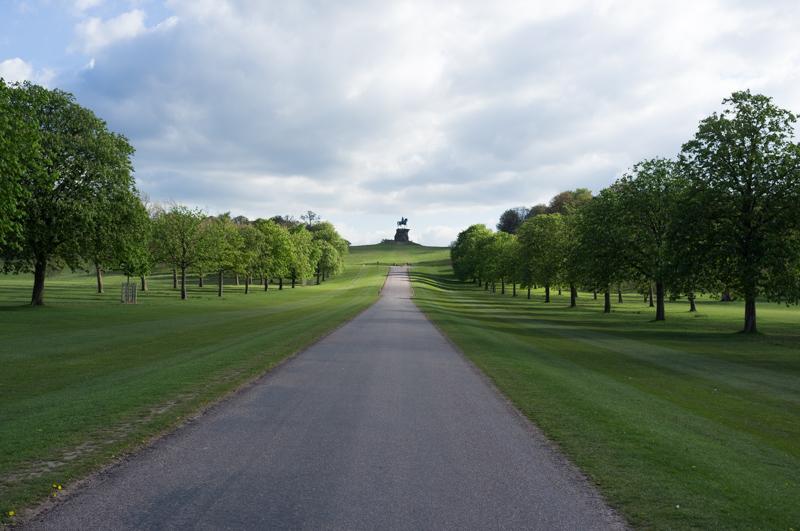
We then took a footpath uphill, travelling briefly to America. (The land around the Kennedy Memorial on Runnymede was gifted to the USA.) After that, we followed roads through part of Englefield Green and, past some exceedingly expensive houses, into Windsor Great Park.
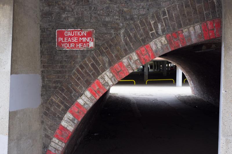
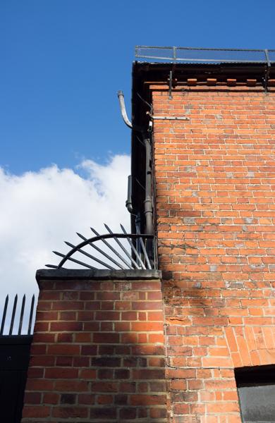
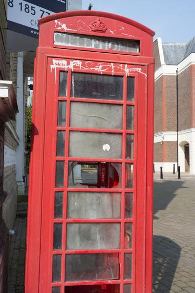
We walked around Windsor a little before getting a train back.
Wraysbury
Our second walk was to Wraysbury and back. We began by walking into the centre of Staines and then along Church Street toward Moor Lane.
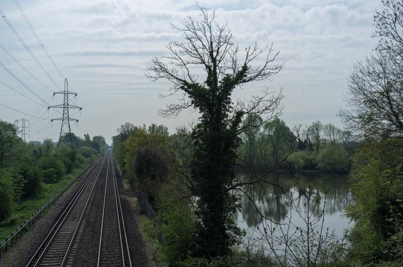
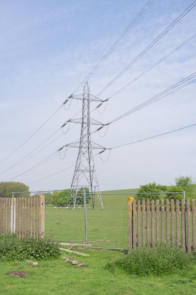
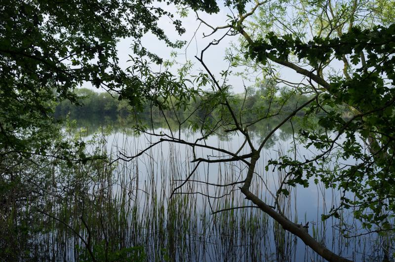
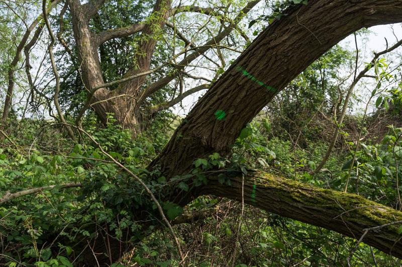
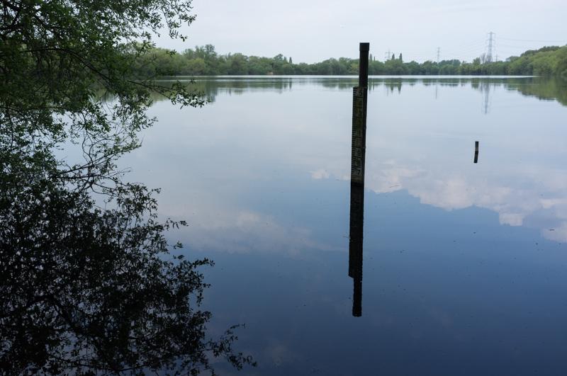
We crossed the railway near Wraysbury and took what we thought was a footpath between some of the lakes (which were actually gravel pits, obviously). I’m not entirely convinced it was an official footpath because the tree-climbing parts seemed slightly more to the fore than I would have expected.
After a slight argument with dad as to which way right and left go, we eventually managed to escape the lakes, although this did involve climbing over a locked gate out of some ground owned by the water company. We then took a diversion down an interesting side road that I’d never been down before, Colne Way, which led to a weir across Colne Brook and then some industrial units on Ferry Lane.