Introduction
Mum suggested a walk from Earls Barton, which has an interesting church, to Northampton along the River Nene.
It was a grey, overcast day - but there was still significantly more light than later on in the walk! The last eight pictures were actually taken at night. Not ideal but an interesting change, perhaps.
Earls Barton
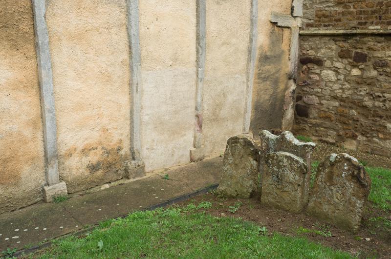
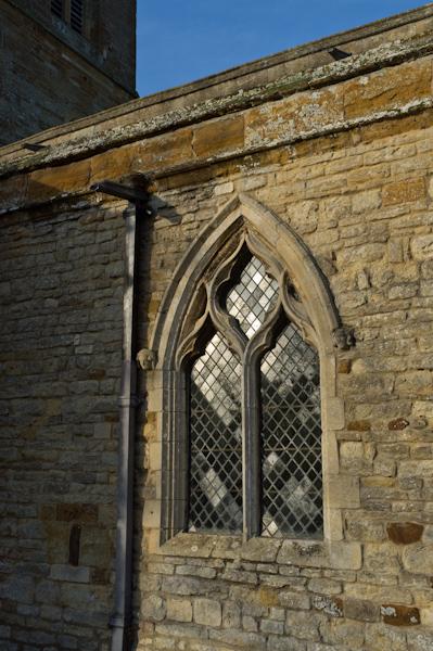
From Northampton station we got an X4 bus to Earls Barton. There, the church is notable for its architectural features. We had a look and walked around it. It was locked, so we didn't think we would have a chance to see inside.
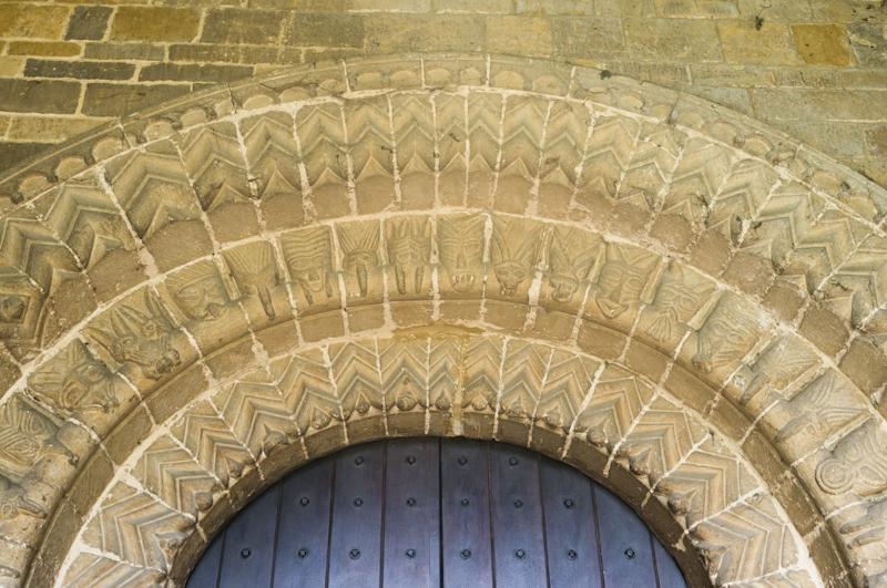
By chance, somebody arrived to do some cleaning or preparation of some kind in the church. He let us in so we were able to look around.
Leaving the village, we took a footpath to a road on the outskirts.
Another path beside the road took us to a footbridge over the main dual carriageway in the area (which we could hear for most of the walk) and then to the river.
River Nene
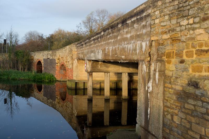
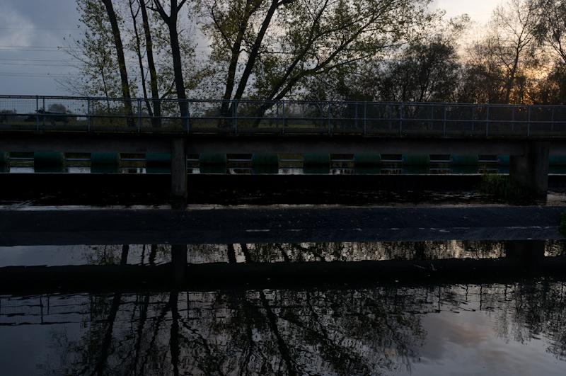
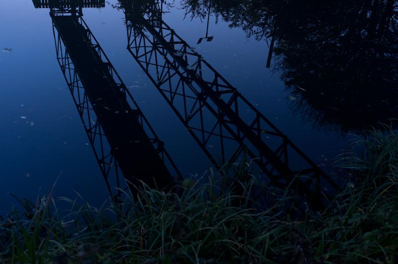
We reached the river at a lock. Until we got to the city, all the locks had this strange arrangement; the upstream gate was a traditional pair of manually operated swing gates, but the downstream one was an enormous 'guillotine' gate that lifts vertically. This is apparently so they can more easily be left open (letting the water flow straight through) in times of flood.
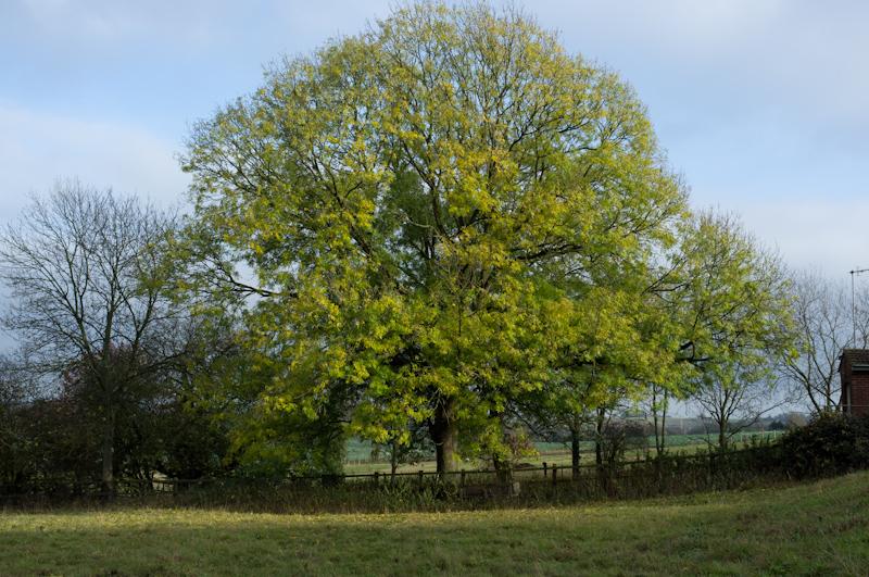
By the lock, we encountered a couple of surveyors with some kind of device on a tripod; they seemed to be surveying the river, moving their equipment from point to point in a small dinghy. We moved faster than they did and soon left them behind. The river made interesting twists and turns, including some loops which were now backwaters, the river having presumably been straightened.
At the first of several mobile home parks we left the river by an old watermill and headed uphill to Cogenhoe village. Tentatively, the sun came out.
Cogenhoe
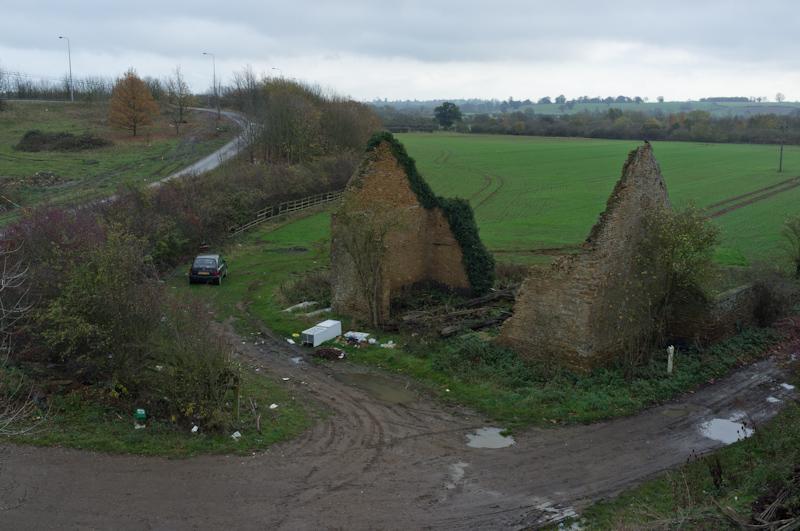
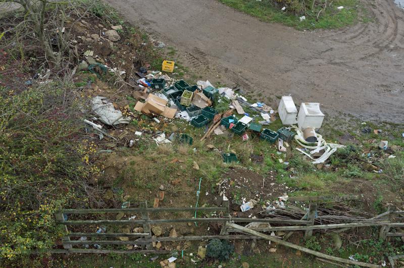
Marked on the map was a 'factory'. This seemed astonishingly unlikely, but we found it... sort of. It turned out to be a small group of buildings that had once been a mini industrial estate but were now boarded up ready for later conversion into houses. Possibly at one time it was an actual factory.
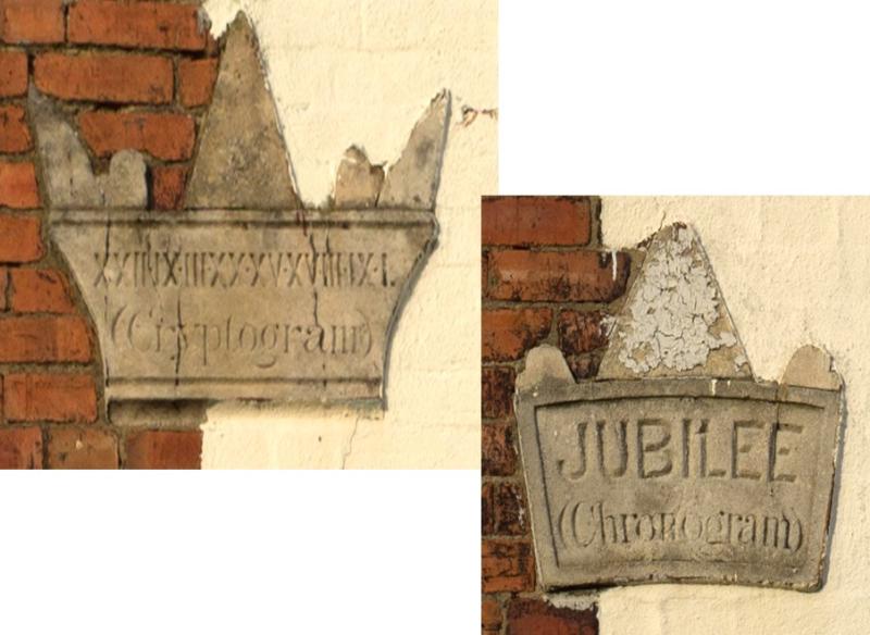
We followed the main street through the village, which was mostly unremarkable. It's called Station Road but the railway is long gone. However, we did encounter a puzzle house. The house wasn't anything special but it had two stone markers in the wall where you would normally find the date of building. Can you work out that date? We were inordinately pleased when, between us, we managed to do so. :)
Billing
Eventually we reached the river again and promptly got lost. There was a sign for the Nene Valley Way which pointed across the bridge, but that isn't the right route. After negotiating a complicated mess of waterways and bridges past a chain pub, we found the path in the other direction and did a complete loop just so we'd walked it all.
Having emerged only briefly, the sun rapidly began to set as we passed another lock and the enormous Billing Aquadrome caravan park (yes, another one).
Washlands
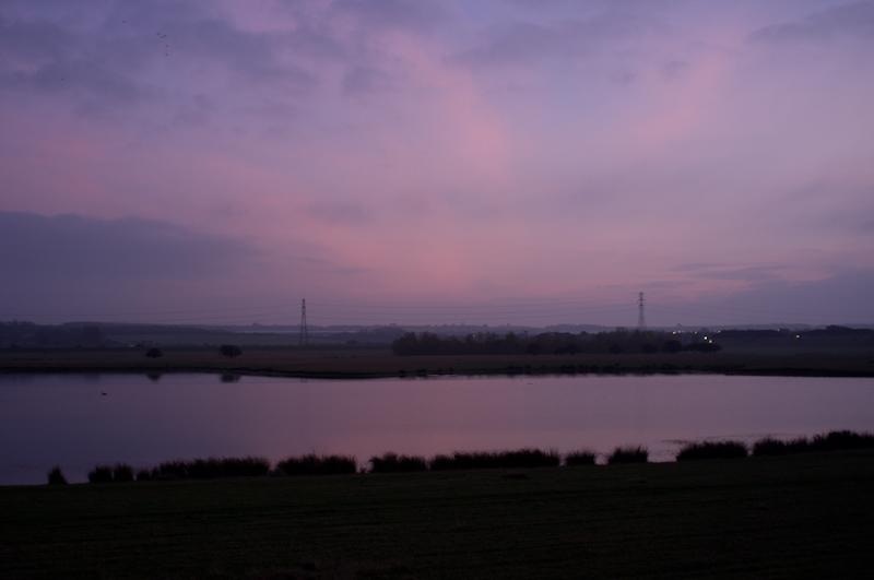
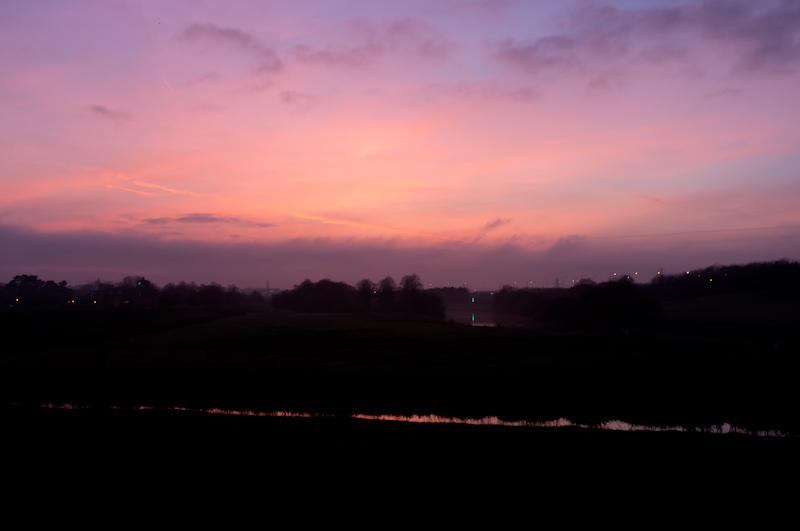
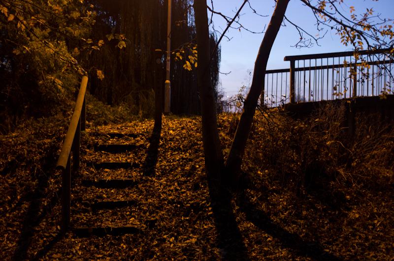
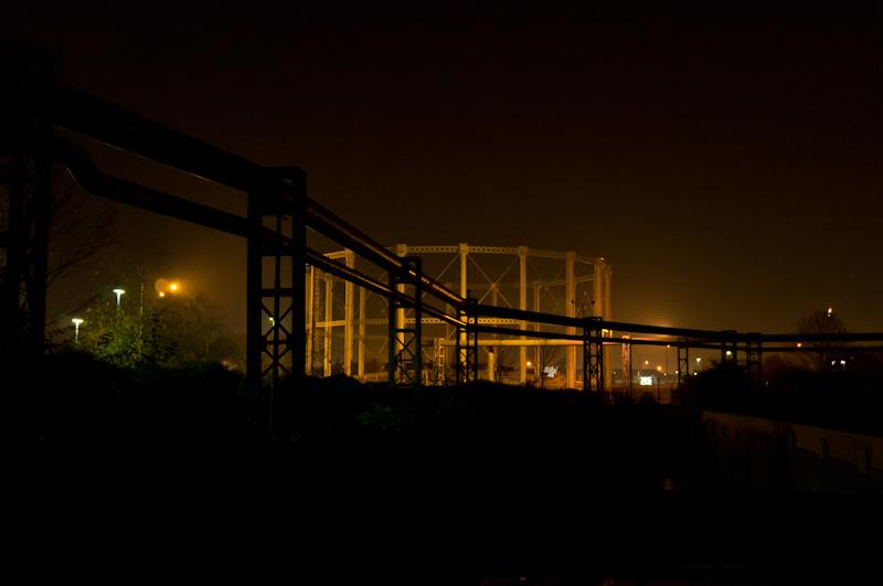
There's a large area of open space called the 'washlands' which is designed to flood when necessary. It also has some large lakes all year round. We crossed it, for a mile or so, on raised embankment. The landscape was pleasantly bleak but it was now getting rather dark.
Northampton
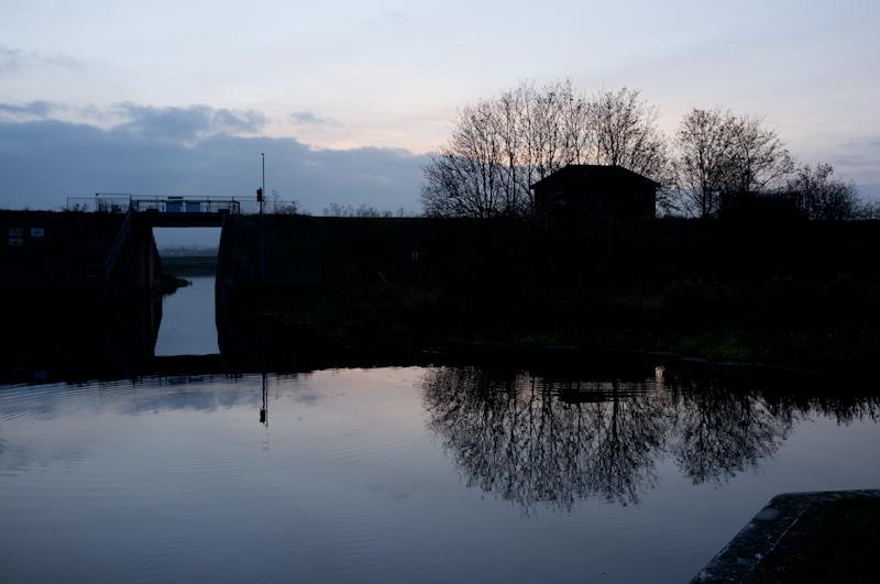
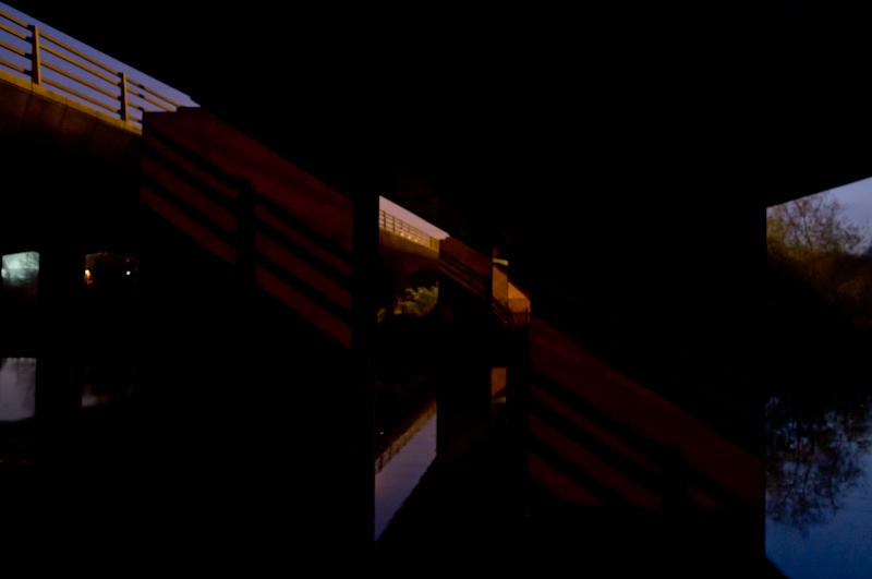
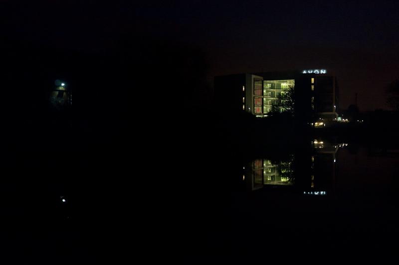
Entering Northampton proper, the path and river split in two. Night had fallen but we decided to take the longer way beside the narrower section of the river - perhaps the original route of the river or perhaps an old millstream. There were two locks, this time with normal gates at both ends. Office buildings and the like occupied both sides of the building, including those of such ill repute as Barclays Corporate Banking and a Holiday Inn.
After that we crossed both parts of the river.
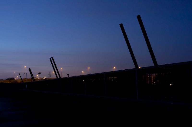
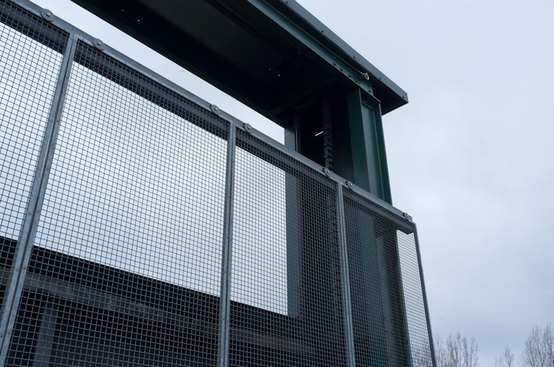
Once across, we eventually figured out that a very odd set of bizarre concrete forms and metal poles were some kind of canoeing facility, but in the dark it seemed quite mysterious.
We continued on the riverside walk until we reached the part where it joins the canal. It was a bit of a challenge to figure out where that actually was! But we worked it out eventually.

Having finished the walk, we went into Northampton centre and tried to find a place to eat, but failed - apparently on Saturday night all the restaurants are fully booked because of the theatre. So we went to the railway station and home.