Introduction
As usual I went on the Ashram Holiday (my parents are Ashram members). This year we stayed in a house which had previously been a small hotel, in a sort-of-village (no church, no pub, no post office) called Rousdon. It’s in East Devon, but the nearest town is Lyme Regis in Dorset.
There are a lot of pictures, so I split them into two parts; this is the first. (Part 2.)
Friday
We travelled to the nearest railway station, Axminster, where Ian kindly met our train and gave us a lift to Rousdon.
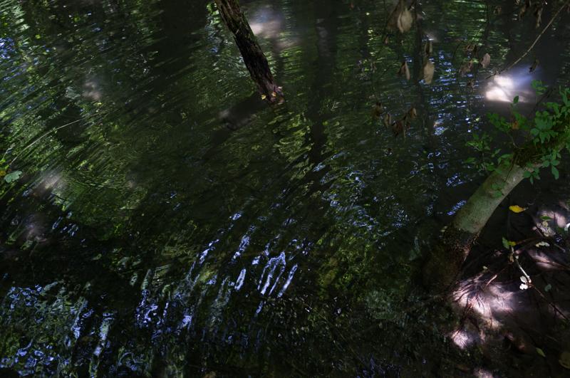
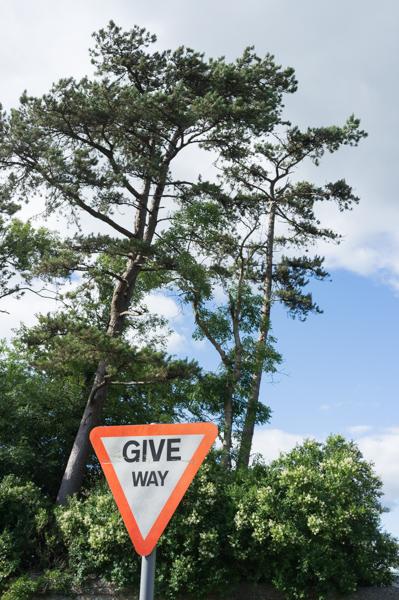
After dinner we took a short walk to the nearest village which does at least have a church, Combypne. I have some pictures of the church later but for now, here’s one of another village highlight.
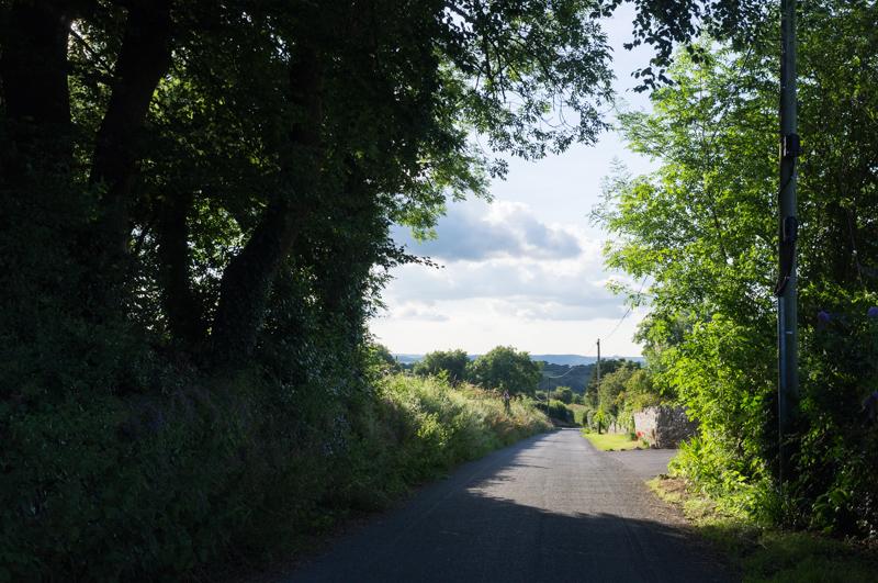
By the way, it’s only three quarters of a mile to Combpyne, so a reasonably sensible walk to do in the dark.
Saturday
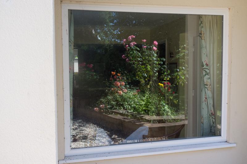
I had a look around the garden after breakfast.
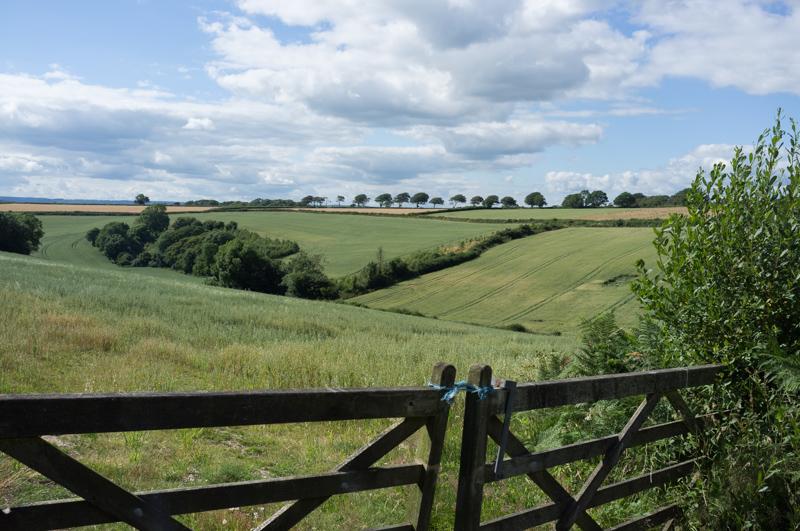
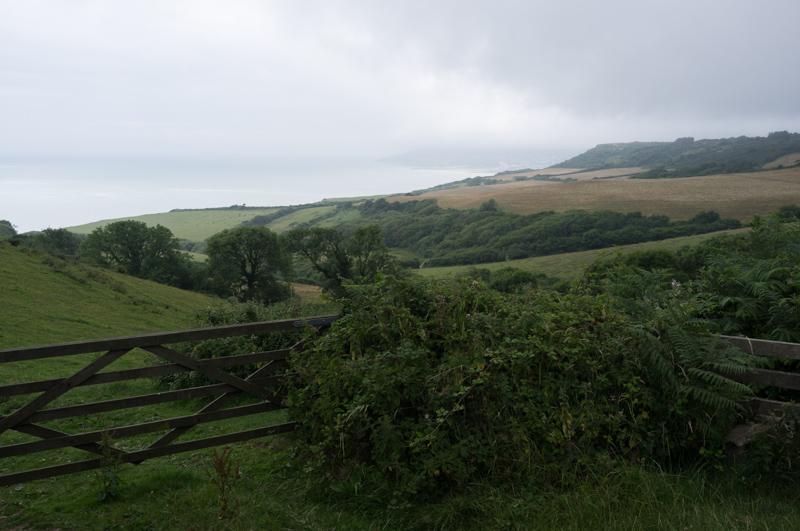
Then Ian led a walk to Lyme Regis via the coast path. There isn’t an official route to the coast path from Rousdon, but you can get there if you walk down somebody’s drive.
We started by heading (legally, thus far) to the bridleway that runs through the local estate. I don’t mean council estate; it’s the Peek Estate, where half of Peek Freans biscuits once lived (well, not literally). After that it was a private school. The various buildings on the estate have now been sold off as expensive houses and flats, or holiday accomodation.
After passing the Peek mansion we headed steeply down to meet the coast path.
At this point, the oldest people who’d come with us thought better of it; there were rather a lot of steep steps. They retreated more slowly to the hotel, accompanied by two others of the party (Ian and my mum).
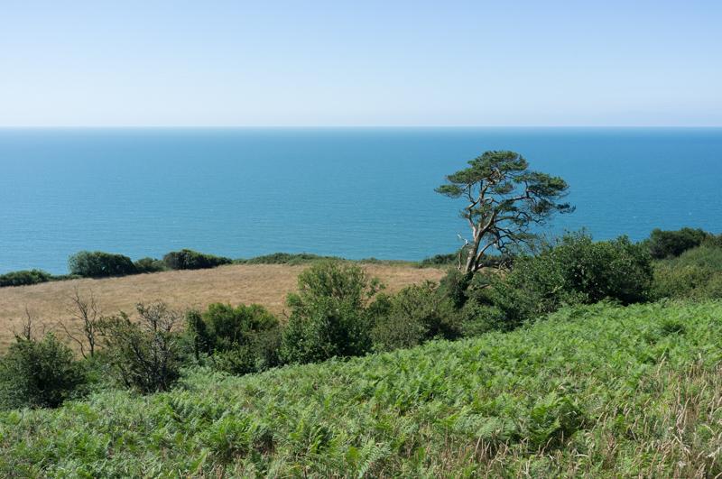
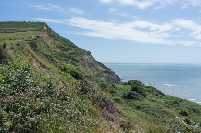
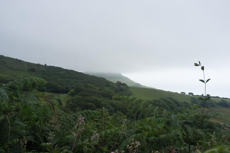
The less considerate four of us continued to Lyme Regis. It turned out that the route indeed isn’t that easy. I forgot to count the steps for the rest of the way, but there were an awful lot. Overall it’s probably about the most strenuous you can expect from a marked, well-maintained path in the south of England (given there isn’t any actual rock-scrambling or wading through marsh or whatever). We were glad of the constant shade.
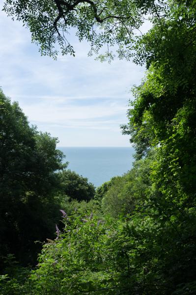
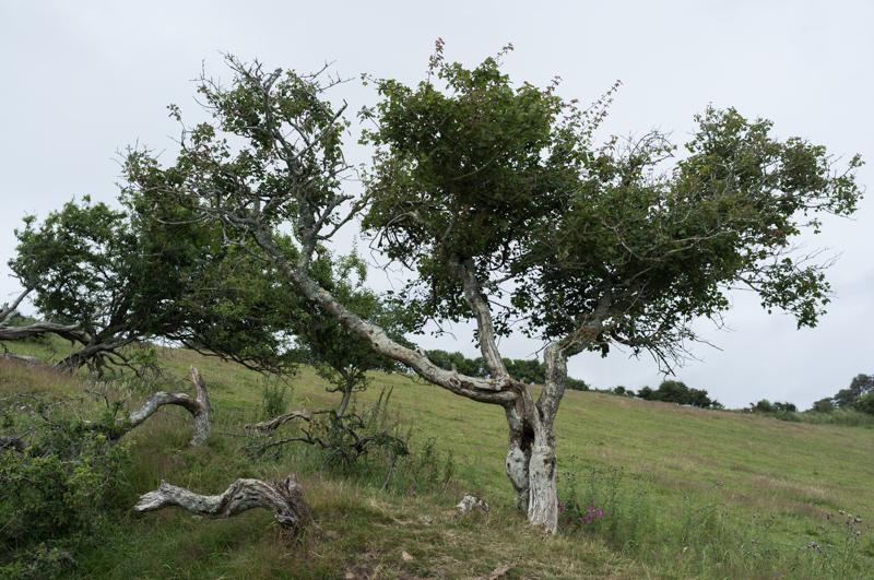
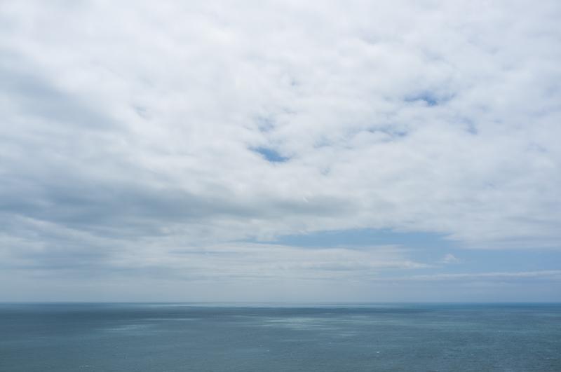
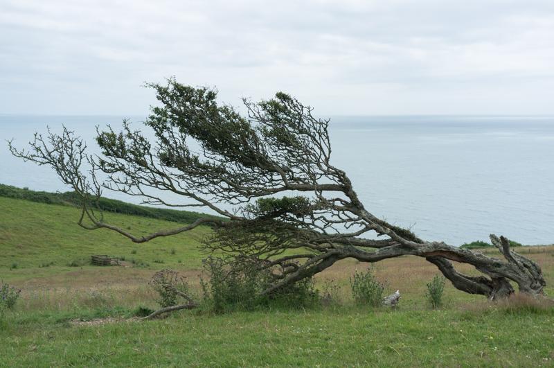
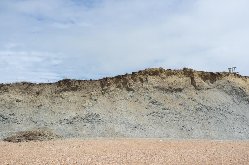
Although it’s part of the official coast path, you barely see the sea; there are rare glimpses. The path runs through dense, almost jungle-like woodland. There are cliffs above, some of which collapsed a while ago to form the lower level of cliffs we walked on (known as the Undercliffs), which is still quite high above the sea. Strange and interesting experience.

By the way, a previous stretch of the path was closed off because of recent landslips; there are very few official routes to access this section, so it isn’t easy to bypass a blockage. (If you want to walk on any of the South West Coast Path, you should check the website first. It all seems to fall into the sea fairly regularly.)
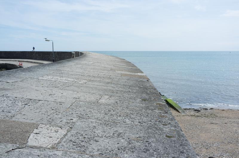
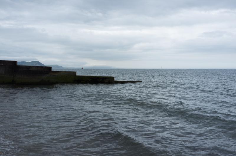
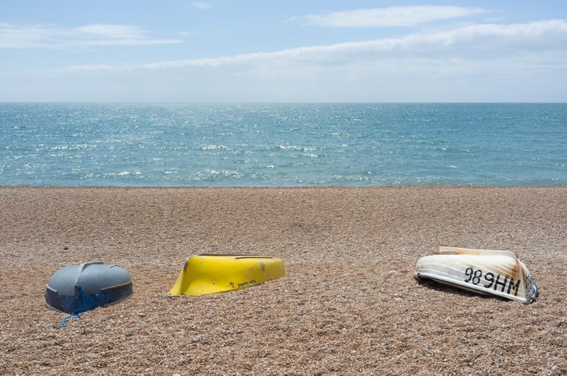
We emerged above Lyme Regis and walked down to the artificial harbour, known as the Cobb. There’s been a harbour like this for many hundreds of years, although it got washed away several times; the current one isn’t that old.
At some point we’d got separated from one of the party, but we managed to meet up again on the way to the pub. After that we sat on the beach to eat lunch. Mum joined us again after getting a lift into Lyme. We walked around Lyme as a family for a bit.
We got the bus back. There’s an excellent bus service along the coast, provided your definition of ‘excellent’ is that it runs every 2 hours, the last one is at five, and it’s sometimes half an hour late.
Sunday
Most of the group dispersed to various churches (the local one in Combpyne, a Methodist in Seaton, and a Quaker meeting somewhere else). Dad and I went for a morning walk instead to a disused railway viaduct and a quarry.
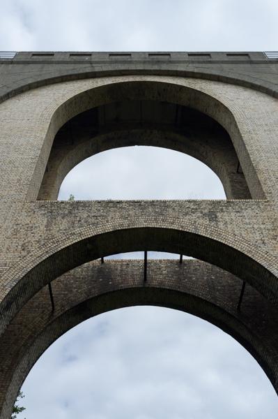
The railway viaduct is on the line between Axminster and Lyme Regis, which would have been very useful if it still ran. The track’s all been taken up and even one of the cuttings was filled in, but this viaduct still looks in excellent condition. It’s very impressive although the river that runs under it is less so, at least in summer. (We walked across it without realising; it was a squelchy patch of grass.)
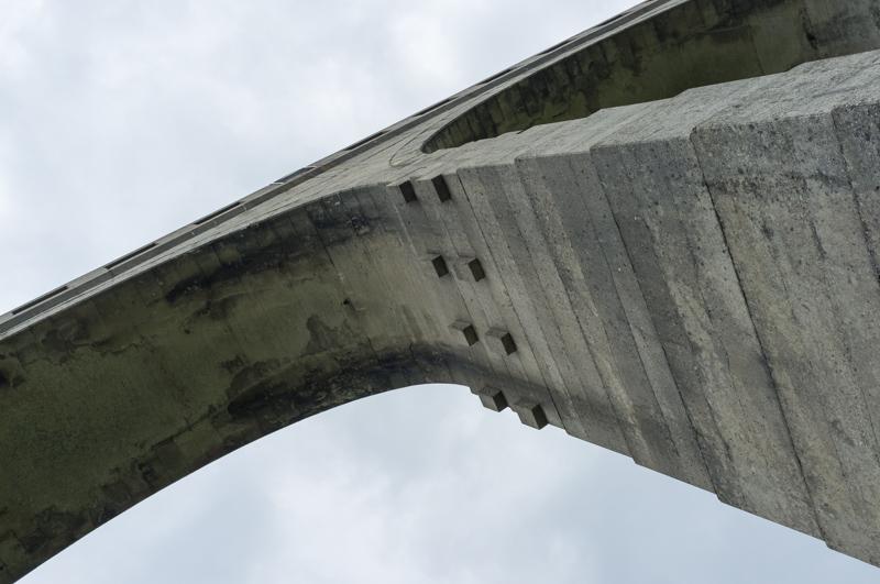
Before it opened, one of the arches subsided a bit. They reinforced it with brick. Seems to have worked - it outlasted the trains and is still standing, a hundred some years later.
A public footpath runs alongside the quarry, which seems to have been operating for quite a while.
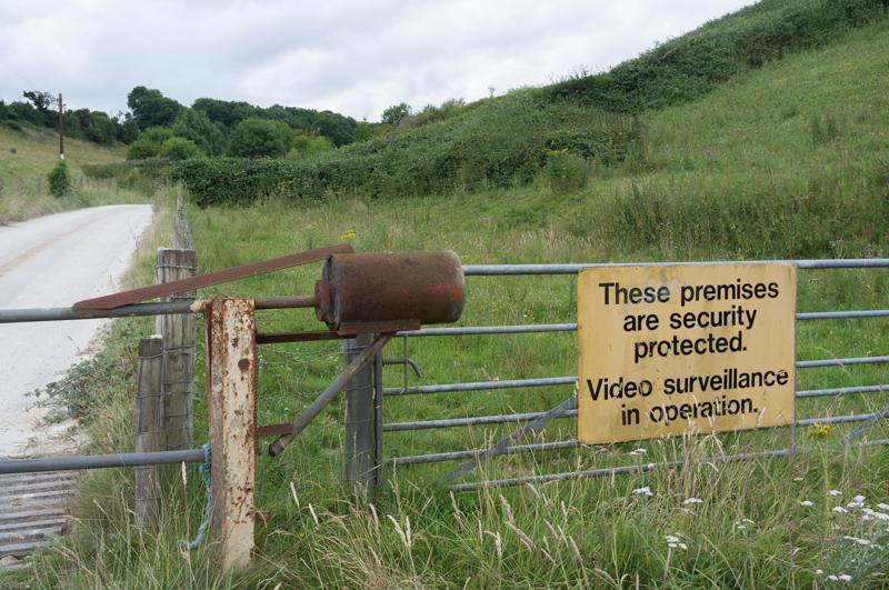
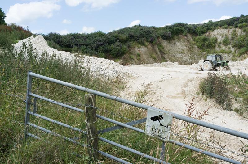
There weren’t cameras near either sign. Possibly there may be some near the quarry buildings.
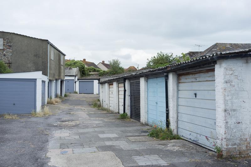
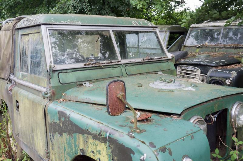
We walked back along the side of the main road, but took a side track past a garage. It seems to still be operating as a garage (called ‘The Shrubbery’ garage, by the way), and as a Land Rover graveyard.
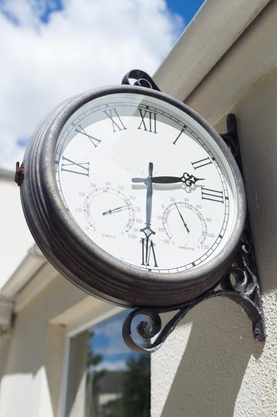
Back at the hotel, I took a photo of the clock on the outside wall. We saw similar clocks on at least one other building in the areas.
In the afternoon, we were joined by several others for a walk around some more of the local area, including Combpyne.
Monday
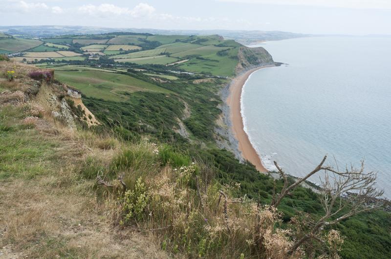
The Golden Cap is a cliff, or a hill (depending on which side you look at). It’s the highest point on the south coast. Ian gave us (my family and Chris) a lift to Stonebarrow Hill and we walked along, and up, the coast path from there.
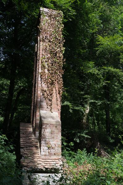
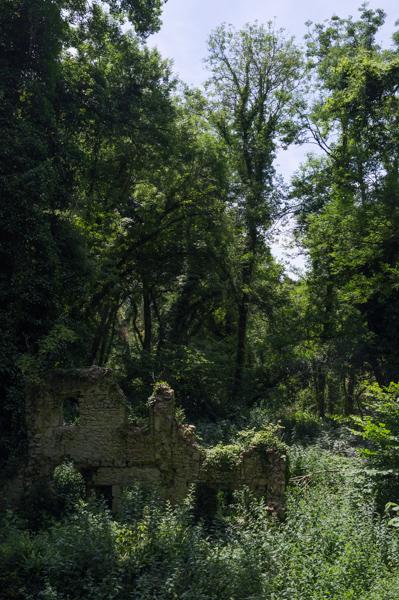
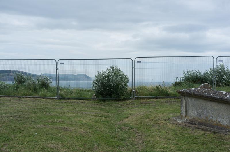
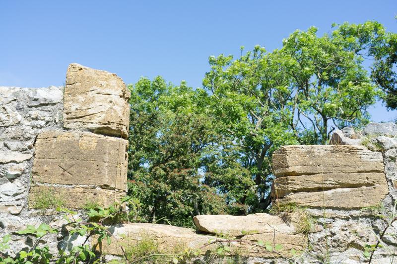
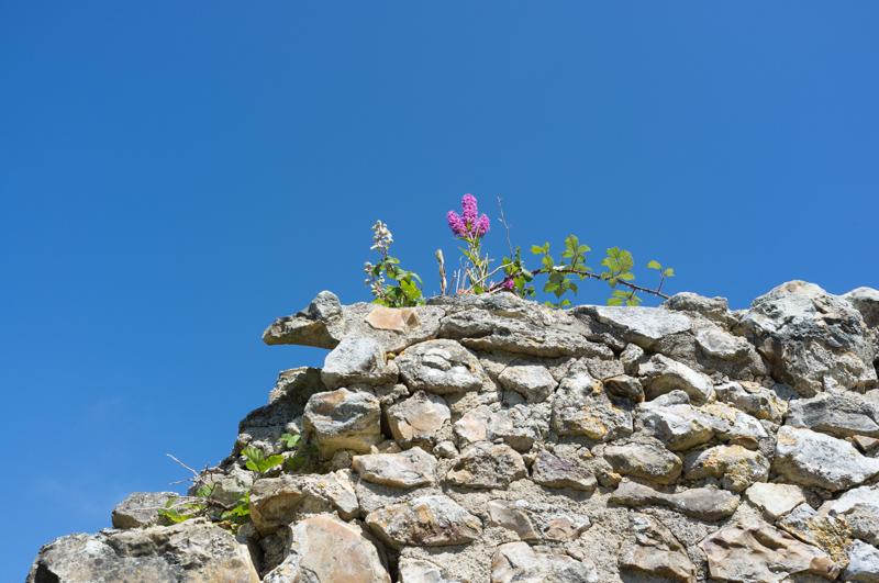
We diverted from the path at one point to go see a ruined church.
Back on the coast path, we still had a significant climb before reaching the top.
At the top we had lunch and admired the view. Then we walked down to the beach at Seatown, a tiny place (beach, pub, and caravan park) not to be confused with Seaton, which is a totally different town some way west.
To make the circular walk we returned via a different route, a little way inland. The weather began to turn, but we made it back to Ian’s car without actually getting rained on.
That evening Mum and I went for a short walk toward the railway viaduct.
That‘s the end of part one. I‘ll post part 2 later.