Darent Valley Path: Sevenoaks to Eynsford

Introduction

Mum and I decided to walk the Darent Valley Path, or at least some of it. The path officially runs from the Thames (near Dartford) to Sevenoaks, so of course we decided to go in the opposite direction.

There is actually a choice of two end points (start points, from our perspective) for the walk. One is near Sevenoaks station; the other is a bit to the west, nearer the source of the River Darent. We were starting from the station, but decided to walk to the less obvious route, on the basis that it seemed slightly more authentic for some reason.

Chipstead

So we headed west from the station toward an old village (now subsumed in Sevenoaks sprawl) called Chipstead. On the way we passed an area called Riverhead, which turns out not in fact to be near the head of any river.

Railway bridge in Riverhead. I’m not entirely convinced that is genuine stone.
1/125 at f8, 23mm, ISO200 51°17′8″N 0°10′16″E

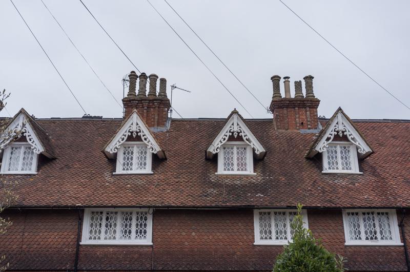
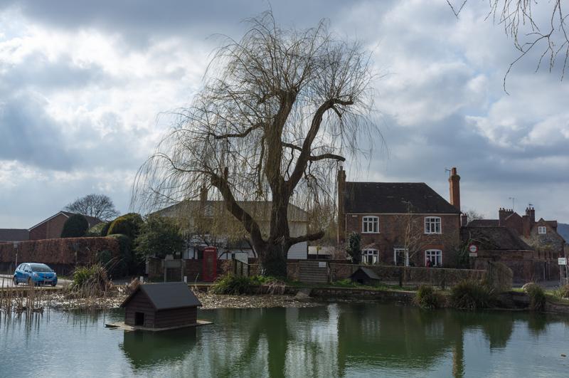
Chipstead turned out to be a very nice collection of old houses, mostly with names of the form ‘The old (insert useful amenity here)’. It now has basically no facilities, except for a couple of pubs.

A rather nice row of houses.
1/125 at f8, 23mm, ISO200 51°17′3″N 0°9′14″E
Several layers of painted sign near an ex-shop.
1/125 at f2.8, 23mm, ISO200 51°17′5″N 0°9′7″E
Whitewashed walls and some kind of climbing plant.
1/250 at f5.6, 23mm, ISO200 51°17′4″N 0°9′5″E
Public footpath sign.
1/250 at f5.6, 23mm, ISO200 51°17′5″N 0°9′8″E

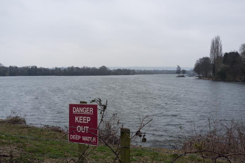
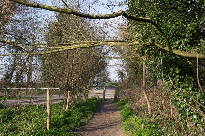
Taking the footpath toward a lake, we caught our first glimpse of the river - possibly. There were bridges over two streams, at least one of which was probably the river.

Horizontal fencing, a local speciality.
1/125 at f8, 23mm, ISO200 51°17′6″N 0°9′6″E
The local lake (okay, gravel pit).
1/80 at f8, 23mm, ISO200 51°17′9″N 0°8′57″E

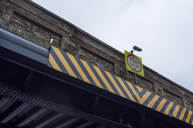
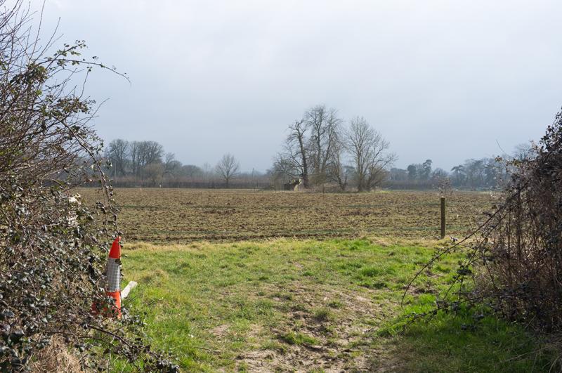
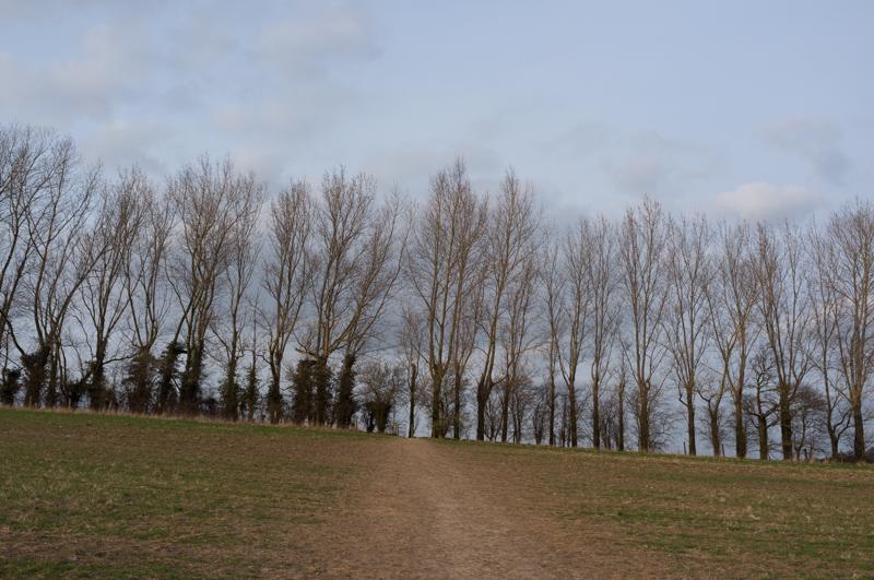
We followed a path beside the lake, into farmland, and then across the route of an old railway branch. (The railway closed in 1961 and the M25 now uses part of its route, so they won’t be re-opening it in a hurry.) After that we followed a muddy track under the motorway and up through newly-planted woodland.

In the motorway underpass.
1/15 at f2, 23mm, ISO200 51°17′50″N 0°9′33″E

After walking a little way along roads (and past a car showroom called Chaucer, which seems a little incongruous) we then followed another footpath through fields toward Otford.

And, momentous occasion, the sun came out!
1/250 at f8, 23mm, ISO200 51°18′9″N 0°9′43″E

Otford

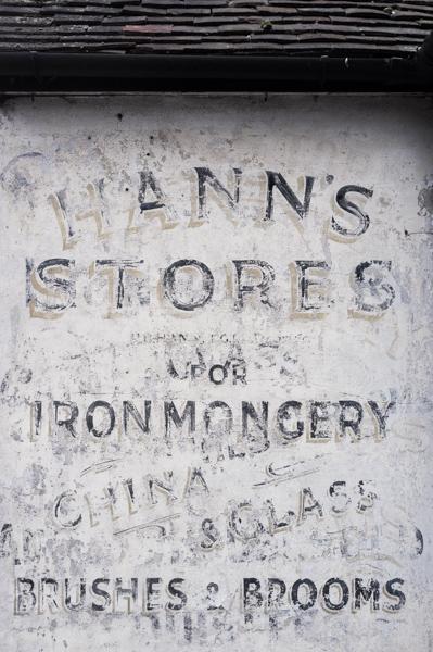
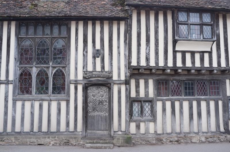
Otford is a pleasant but touristy small town with a large supply of old buildings and antique shops (although not so many of the latter as Dorking can boast).

And three camper vans including (at back) the Musical Circus.
1/250 at f8, 23mm, ISO200 51°18′38″N 0°10′35″E
Here’s a slightly older house.
1/320 at f4, 23mm, ISO200 51°18′46″N 0°11′8″E
And the JME building (boy better know); I suspect it used to be a chapel.
1/320 at f8, 23mm, ISO200 51°18′46″N 0°11′9″E
Village pond with duck house, which was presumably not MP-funded.
1/500 at f8, 23mm, ISO200 51°18′46″N 0°11′28″E
Church.
1/1000 at f8, 23mm, ISO200 51°18′44″N 0°11′28″E
Bishop’s Palace, dressed in fancy yellow and blue scaffolding.
1/500 at f8, 23mm, ISO200 51°18′41″N 0°11′27″E

Leaving Otford we followed a clear riverside path for the first time, although it wasn’t long before our path diverged as we passed a golf course.
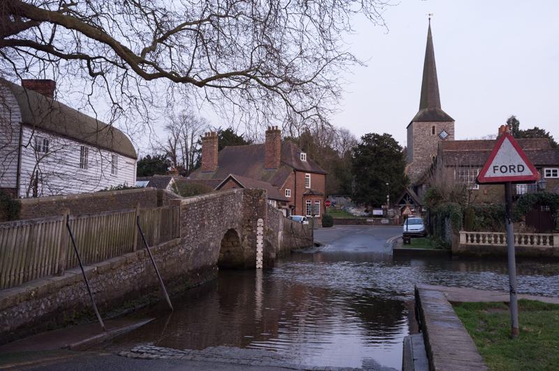
Signage.
1/250 at f8, 23mm, ISO200 51°18′49″N 0°11′1″E
Nice tree.
1/500 at f8, 23mm, ISO200 51°19′8″N 0°10′50″E
Horizontal branches, near golf course.
1/500 at f8, 23mm, ISO200 51°19′36″N 0°10′58″E

Shoreham

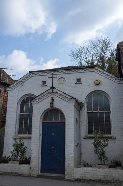
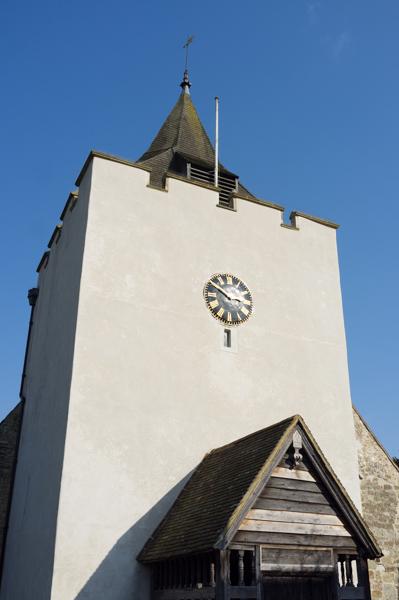
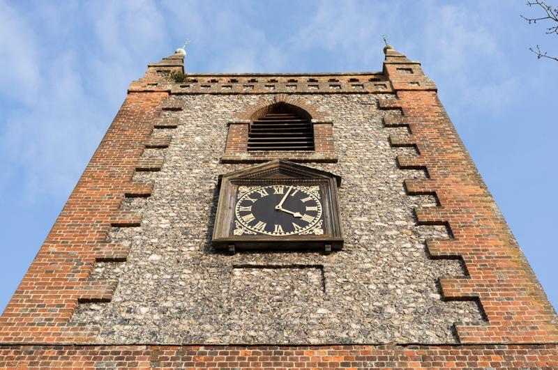
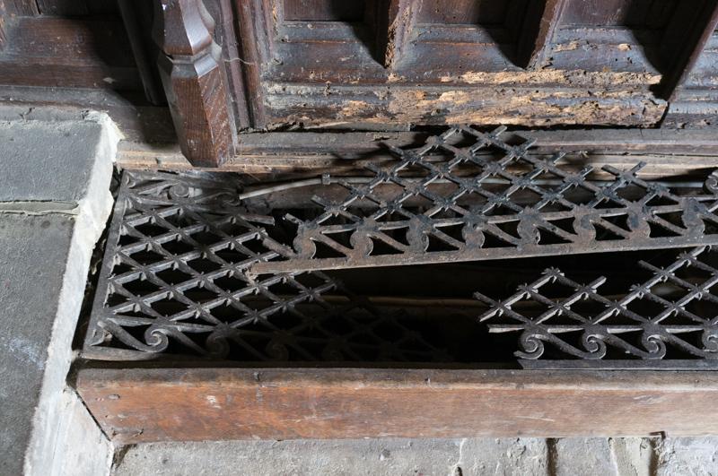
We had looked in Otford church, but Shoreham’s was still more photogenic.

Church tower and clock.
1/250 at f8, 23mm, ISO200 51°19′58″N 0°11′3″E
Painting of an event at the church. I’m not sure why everyone is falling over, but the guidebook did explain it.
1/8 at f2.8, 23mm, ISO400 51°19′58″N 0°11′3″E
Benches.
1/15 at f4, 23mm, ISO800 51°19′58″N 0°11′3″E
Heating grate.
1/8 at f4, 23mm, ISO800 51°19′58″N 0°11′3″E
Path through churchyard.
1/500 at f8, 23mm, ISO200 51°19′59″N 0°11′3″E

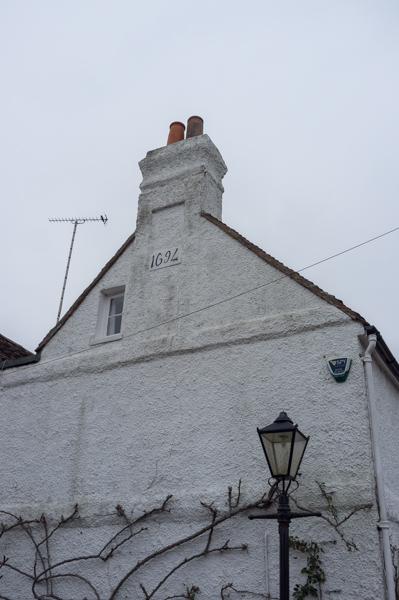
Shoreham had more nice houses.

Including this one.
1/250 at f2.8, 23mm, ISO200 51°19′58″N 0°10′59″E

We followed another riverside path for a while.

Old mill, one of several ex-watermills we saw that day.
1/250 at f8, 23mm, ISO200 51°20′14″N 0°10′51″E
Line of trees on field.
1/400 at f8, 23mm, ISO200 51°20′41″N 0°11′6″E
Barn.
1/125 at f8, 23mm, ISO200 51°21′0″N 0°11′14″E

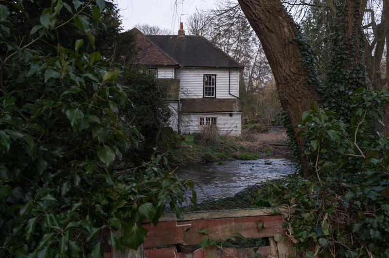
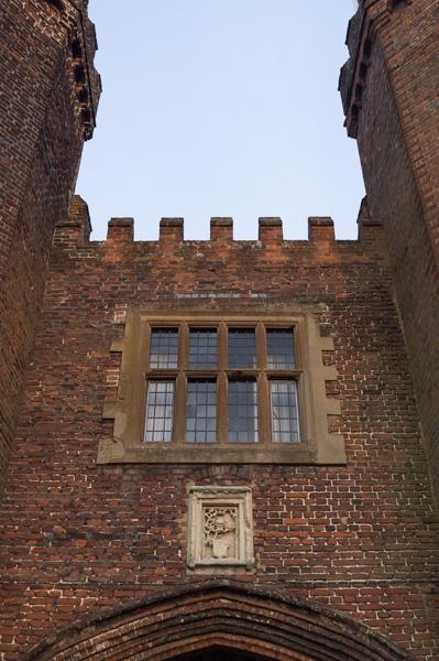
I don’t think there is much left of Lullingstone Castle except for the gatehouse.

To be fair, it is quite a nice gatehouse.
1/125 at f8, 23mm, ISO200 51°21′28″N 0°11′40″E
Wall, weird trees, and bags.
1/60 at f8, 23mm, ISO200 51°21′32″N 0°11′43″E

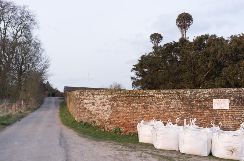
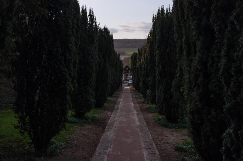
Lullingstone is a visitor attraction of some sort, with gardens. It was closed by then, and we continued on.

Eynsford

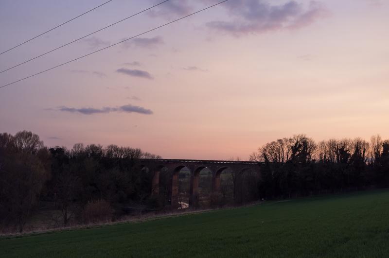
Taking a slightly circuitous route, our path crossed the railway near an impressive viaduct and then sloped down into Eynsford, another small town.

Viaduct at sunset.
1/125 at f8, 23mm, ISO200 51°22′10″N 0°12′16″E
Eynsford has an actual ford, but we chickened out and took the bridge.
1/30 at f8, 23mm, ISO200 51°22′5″N 0°12′38″E

After that we took the main road up to the railway station and got a train back to London.

All images © Samuel Marshall. All rights reserved.