Introduction
I'd just finished processing my photo backlog from Christmas, and the next day turned out really sunny, so I headed out for a bike ride.
Since I live in south-east Milton Keynes, the easiest way to get out of it is east. There's a limited number of places you can cross the M1, so I planned the route with that in mind.
Getting started
I went out to Wavendon then (with some effort) crossed the busy Newport Road, following Lower End Road past the golf course.
I turned left on Cranfield Road, which crosses the M1 to Salford.
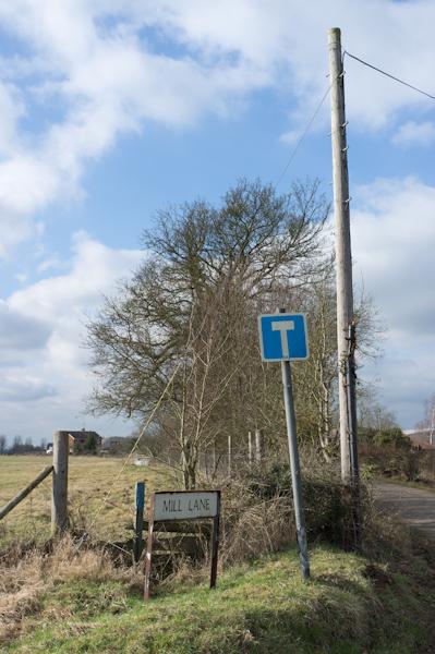
Mill Lane
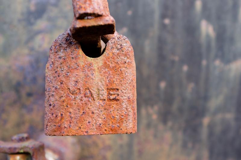
Don't think I've been down Mill Lane before, so I decided to see where it goes. Well, it goes past some dull light-industrial units and ends at the gate to Newport Stone, which has a massive sign about their CCTV cameras. I guess people often come up here to steal bricks.
I hung around outside their gate, looking suspicious and waiting for a break in the clouds, which eventually arrived.
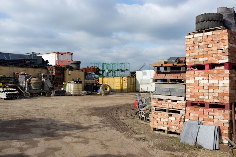
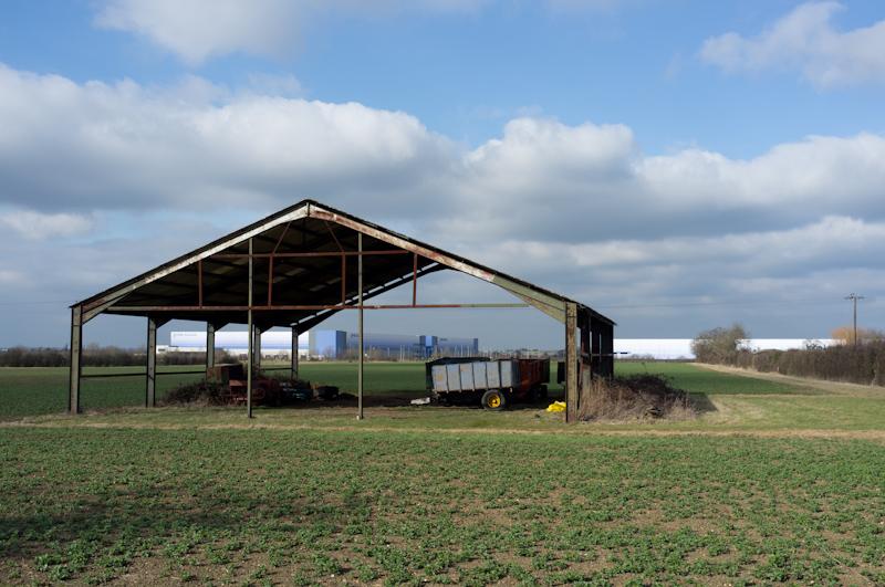
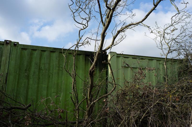
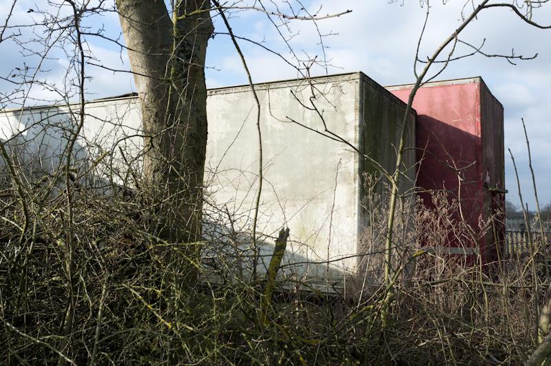
That's as far as you can get in a vehicle (despite both Google and the Ordnance Survey showing roads), but a track leads north a little way. Ingeniously, they've used shipping containers instead of a fence to divide the yard from the track.
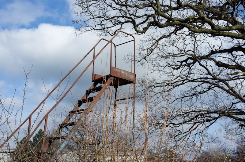
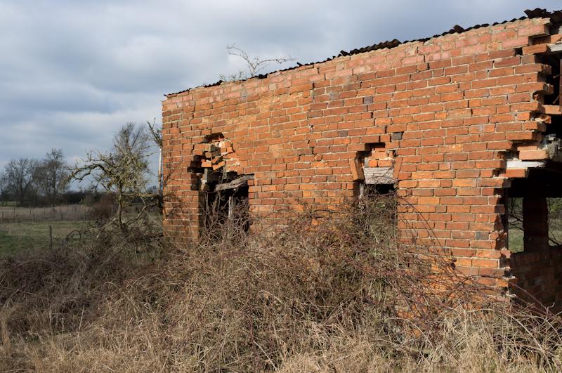
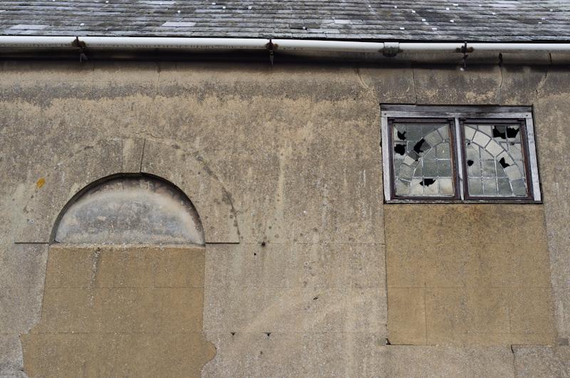
Then the path really ends, unless you fancy some blatant trespassing, at an interesting brick building. (Looking at the satellite view, it seems like there might be some remains of the actual mill on the river? Maybe I should have tried to go further. Oh well.)
So I went all the way back down Mill Lane. That's one of the things I like about being on bike instead of on foot; backtracking half a mile isn't particularly annoying. As I passed the Newport Stone gates, I heard a dog barking. Maybe security eventually responded to those cameras.
Salford
Still amused that this Salford is a tiny village. There's no BBC office; just a church (which I didn't divert to see), a pub, expensive houses, and a farm or two.
I left the village on Cranfield Road, which is long, boring, and uphill. Navigating roundabouts past the Nissan Technical Centre, I got to the edge of the airfield and took some crap pictures of planes parked there, then continued on through parts of Cranfield University.
Moulsoe
After that I looped back around on a more pleasant (and downhill) lane toward Moulsoe.
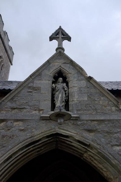
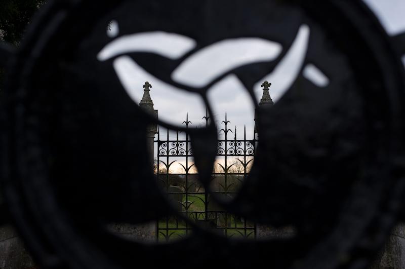
I got to Moulsoe - another village, with more fancy houses and more absolutely nothing else. This time I went to see the church, which was quite interesting.
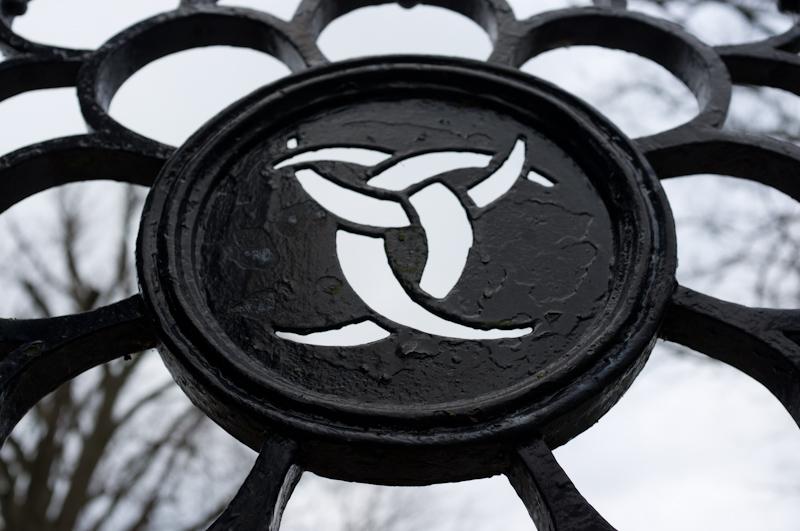
In the small graveyard, there was a fenced-off area for one family. I don't know what you call those - it would be a family vault, except there isn't a vault. Regardless, it's impressive, and decorated with what appears to be an early version of the biohazard symbol.
It was at this point that the batteries died in my GPS tracker, not that I noticed. (I need to plan to go out at least the day before so I can make sure it's fully charged. Ah well.)
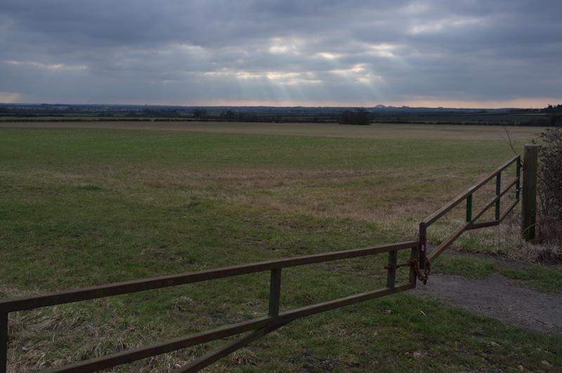
Now heading for another M1 crossing point, I left the road a little past Moulsoe and walked on a public bridleway (pushing my bike) to a junction with another farm track. There was a large wheeled water-tank, the sort you can probably attach to a tractor to irrigate fields, although it didn't look frequently used.
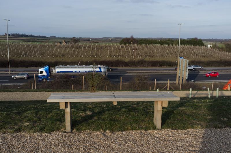
The track took me to a public road again, and then back across the M1.
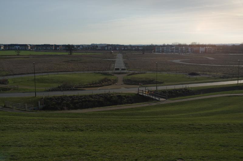
New estate
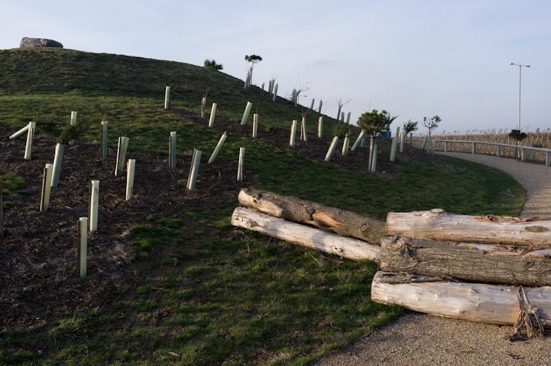
At this point, all the maps show fields. Not any more. It was a weird deserted landscape, prepared for (I assume) yet more new housing and with landscaping banks already completed beside the motorway.
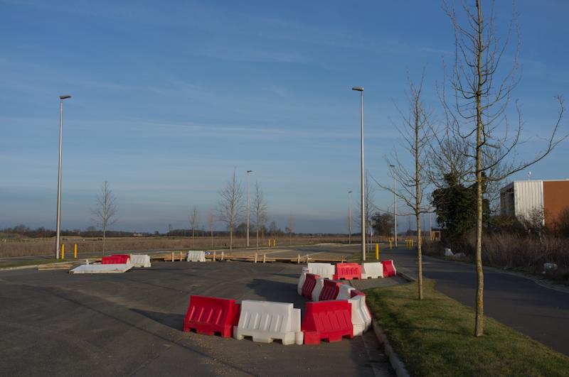
After that I had to ride back by another new estate that's actually been finished, then Kingston - where the redway doesn't join up (wtf) so I had to ride on the main road for a bit. Pretty dull. That's it. :)