Introduction
Mum and I went for an afternoon walk from Whitton railway station to Feltham, mainly along the River Crane.
The Crane is a short river that runs from Hayes to join the Thames at Isleworth. Compared to walking along that larger river, it had the advantage of not being flooded at the time.
We did most of this walk once before as part of the London Loop.
Whitton to Crane Park
Leaving Whitton station, we first had to cross the Chertsey Road (a large dual-carriageway) on our way to Crane Park.
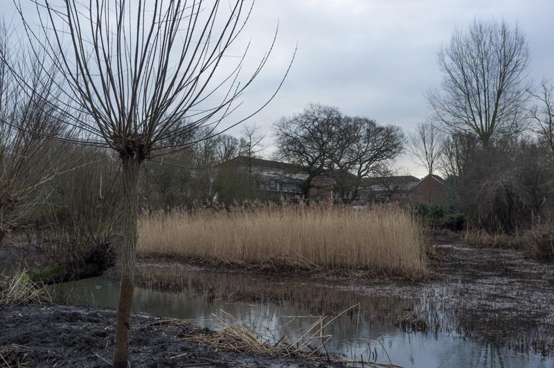
After walking for a short distance through residential streets, we reached the park and were then able to follow a riverside path for quite some distance.
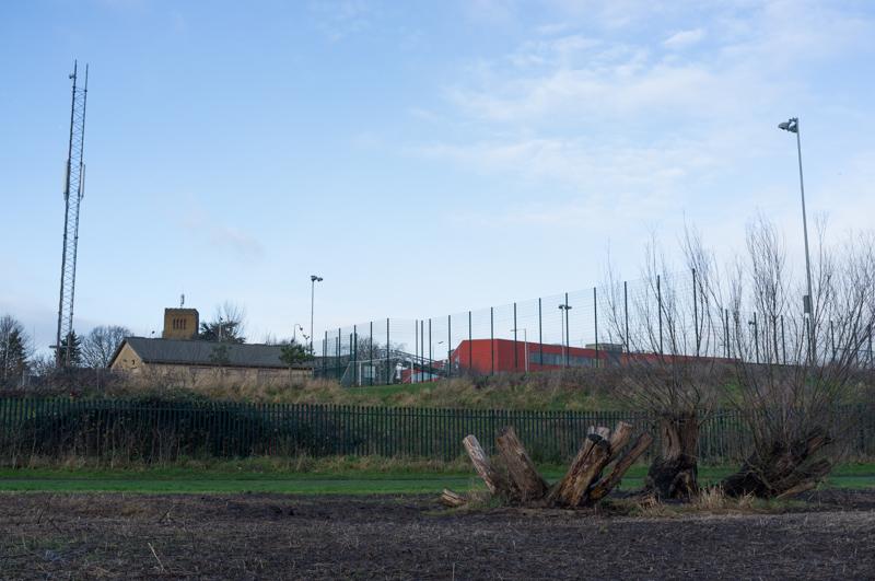
The river goes under a couple of major roads, one of which becomes 'Great Chertsey Road' at this point, although it didn't seem any greater than the last time we crossed it.
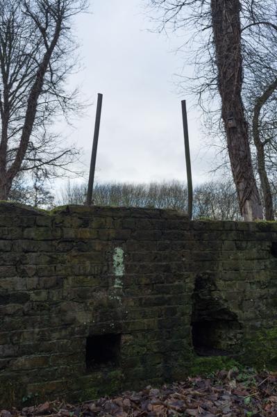
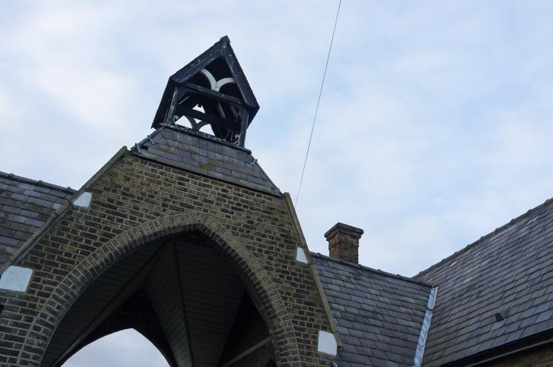
Shot Tower and island
There's a building in Crane Park called the Shot Tower, although there seems to be some dispute as to whether it was actually used to make lead shot. (You do need a tower for that; the process is to melt the metal at the top and let it drip down into a pool of water at the bottom. While falling through the air, it becomes nicely spherical and cools.)
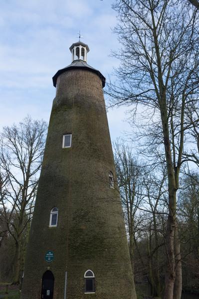
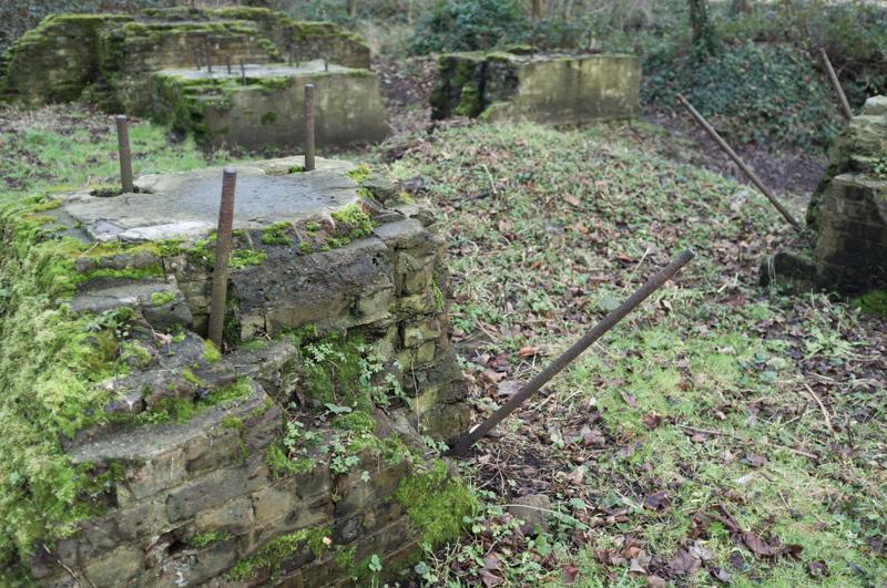
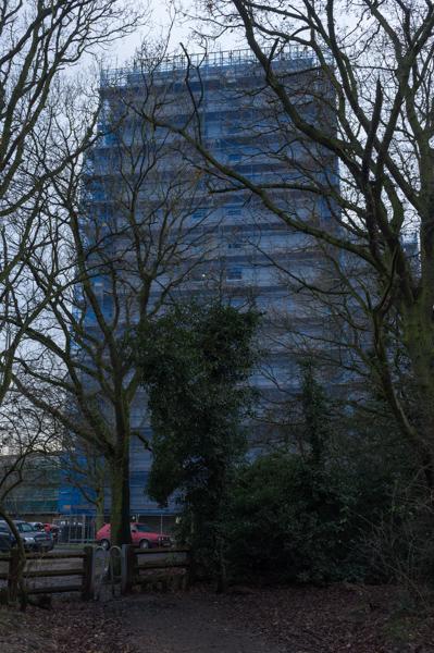
Not in question are the local gunpowder mills, which used to operate (and periodically explode) in several places along the Crane until the 1920s. An island by the tower used to have some of the mill buildings, but is now a nature reserve.
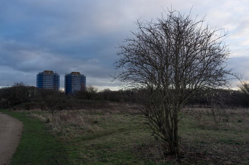
Hounslow Heath and the rest
A little further on, we left the Crane and walked along the road for a while to reach a path onto Hounslow Heath.
The Heath feels relatively wild considering its location. But, unsurprisingly, there were way too many people walking dogs - one giant specimen of which insisted on jumping all over Mum.
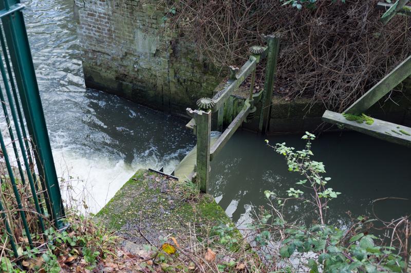
At the edge of the Heath we reached the Crane again (it forms the western border) and followed the riverside path a little further.
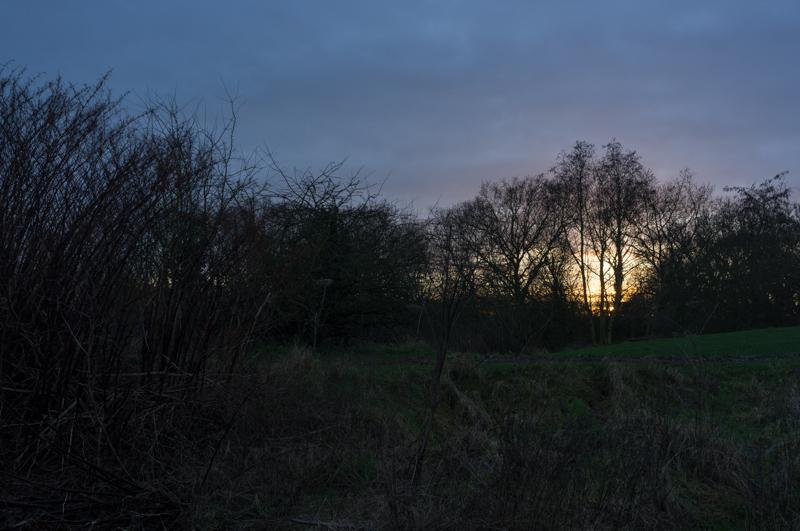
Darkness was beginning to fall as we emerged onto a main road at Baber Bridge and headed back to Feltham station.
Bonus pic
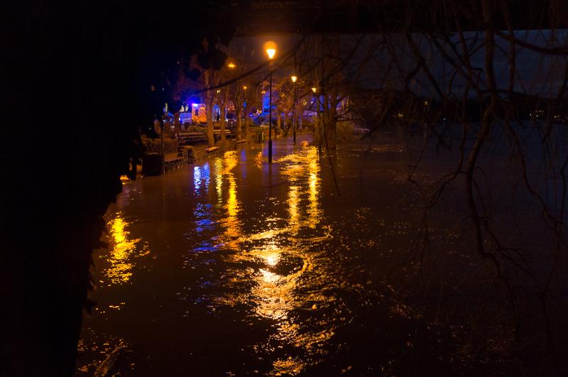
It wasn't really part of this walk, but after getting back to Staines we did a little shopping at the supermarket and walked back along the riverside. Along the way we came upon the scene of an accident where the road was closed to traffic (for an inexplicably long time, we later discovered).