Cornwall (1)

Introduction

R and I went on holiday to St Ives in Cornwall for a week. This is the first half of the photos from that holiday.

Saturday

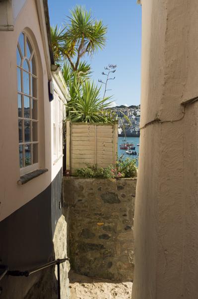
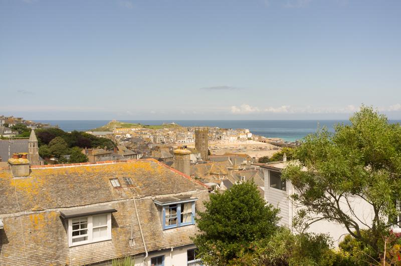
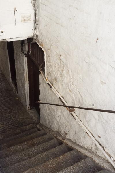
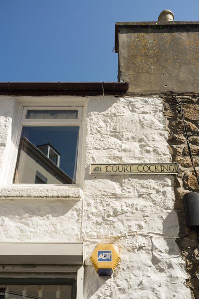
After a rather long train journey we arrived in St Ives and found our accommodation, which was in the upper floor of an old building in a courtyard off one of the main streets. This had originally been used as a ‘pilchard press’ although, slightly disappointingly, it did not smell of fish.

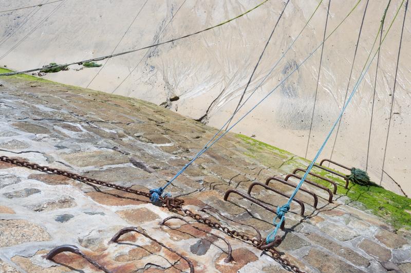
We went out for a short walk around the harbour.

View down steps toward harbour, with palm trees and pastels.
1/500 at f8, 23mm, ISO200 50°12′55″N 5°28′37″W
Harbour light.
1/1000 at f8, 23mm, ISO200 50°12′48″N 5°28′36″W
Green sea and railings.
1/250 at f11, 23mm, ISO200 50°12′48″N 5°28′36″W

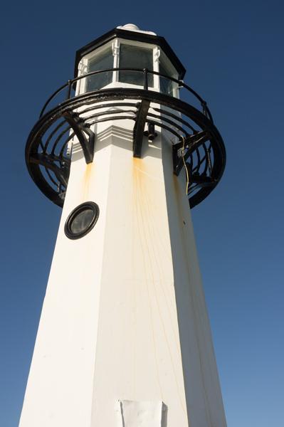
We continued some way toward the ‘Island’, a peninsula just north of the harbour, but returned to our flat when it began to get dark.

Wall and sunset.
1/30 at f8, 23mm, ISO200 50°12′57″N 5°28′33″W

Sunday

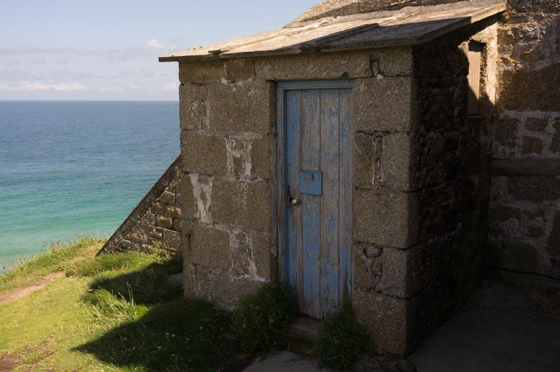
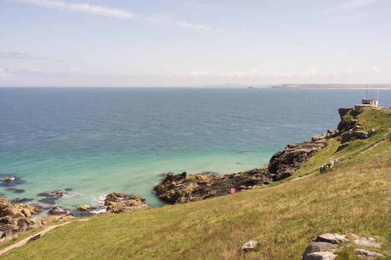
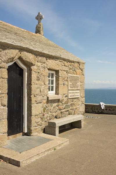
In the morning we repeated the walk from the harbour to the Island, properly this time.

Mooring ropes at low tide.
1/1000 at f8, 23mm, ISO200 50°12′54″N 5°28′41″W
Bamalûz Point.
1/1000 at f8, 23mm, ISO200 50°13′0″N 5°28′30″W
Part of a gun emplacement on the Island (built to keep Napoleon III out).
1/500 at f8, 23mm, ISO200 50°13′6″N 5°28′35″W
Steps by coastguard station.
1/500 at f8, 23mm, ISO200 50°13′6″N 5°28′34″W
Shed, also by coastguard station.
1/500 at f8, 23mm, ISO200 50°13′6″N 5°28′35″W
Northern side of the peninsula.
1/500 at f8, 23mm, ISO200 50°13′5″N 5°28′42″W
St Nicholas’s Chapel (demolished by the War Office in 1904 for no obvious reason, since rebuilt).
1/1000 at f8, 23mm, ISO200 50°13′5″N 5°28′42″W
Clouds above hilltop.
1/1000 at f8, 23mm, ISO200 50°13′2″N 5°28′44″W

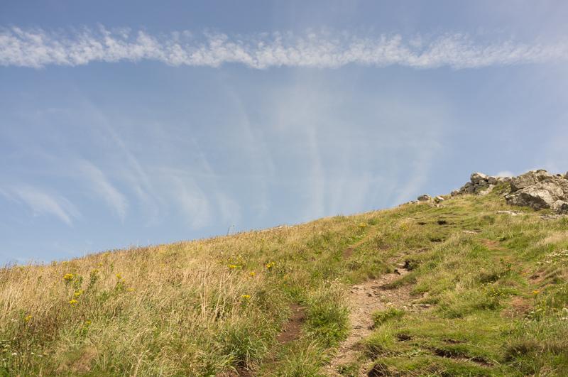
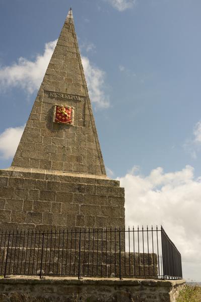
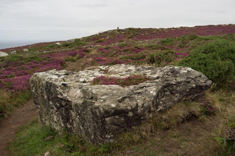
For the afternoon we followed a route from a book of local walks bought from the tourist information centre, managing not to get very lost despite the absolutely terrible instructions. The walk took us up the hill behind St Ives to see a local monument.

View back toward St Ives.
1/1000 at f8, 23mm, ISO200 50°12′37″N 5°28′54″W
Farm shed.
1/1000 at f8, 23mm, ISO200 50°11′52″N 5°29′10″W

Knill’s Monument commemorates a guy who made it big in the City in the 18th century. There is an amusing ceremony every five years in which ten young girls dance around it for some reason. When this isn’t happening, you do still get very nice views over the surrounding countryside.

Monument.
1/1000 at f8, 23mm, ISO200 50°11′45″N 5°28′53″W

After walking back to town, we found a Barbara Hepworth sculpture near the railway station (more of these to come in the second set of photos).

View of/through the sculpture.
1/250 at f16, 23mm, ISO200 50°12′38″N 5°28′39″W

Monday

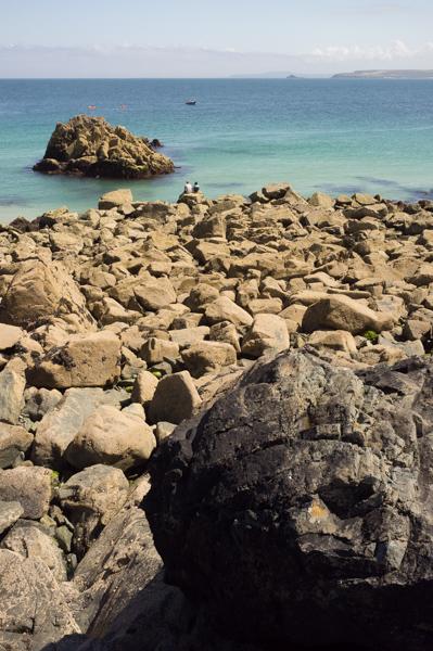
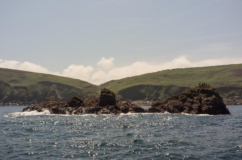
In the morning we went for a boat trip to Seal Island, which isn’t really called that, but is an island and does feature seals.

Alleyway near our flat.
1/125 at f8, 23mm, ISO200 50°12′48″N 5°28′49″W
Court Cocking. Great name for a road (or anything really).
1/500 at f8, 23mm, ISO200 50°12′50″N 5°28′49″W
Sea view across rocks.
1/1000 at f8, 23mm, ISO200 50°12′52″N 5°28′31″W

It was easy to get onto the boat (obvious foreshadowing here). The trip to see the seals was rather bouncy but pleasant, for me at least.

Bird Island (okay it isn’t really called that either).
1/1000 at f8, 23mm, ISO200 50°12′55″N 5°32′51″W
Seal Island; if you look carefully you can see some seals.
1/1000 at f8, 23mm, ISO200 50°12′50″N 5°33′4″W

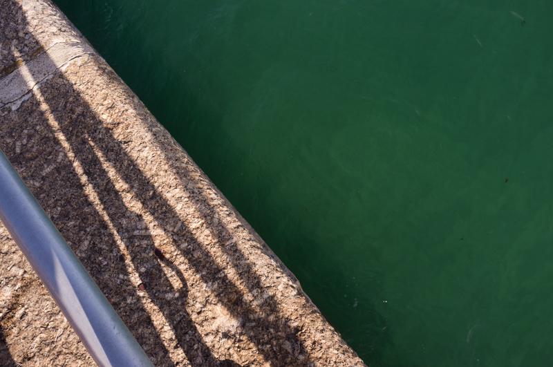
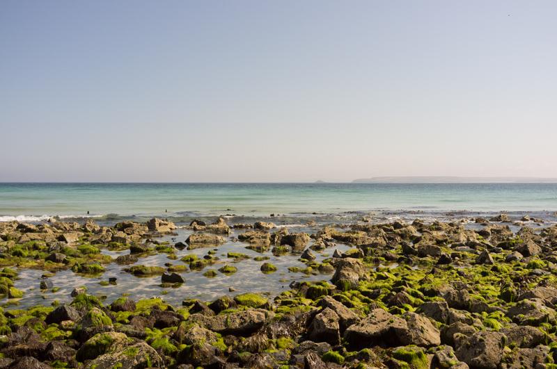
Once it returned to St Ives, getting off the boat was substantially more difficult because the tide was out; they made us jump into thigh-deep water and wade to the beach. Apart from getting very wet and covered in sand, this did work okay.

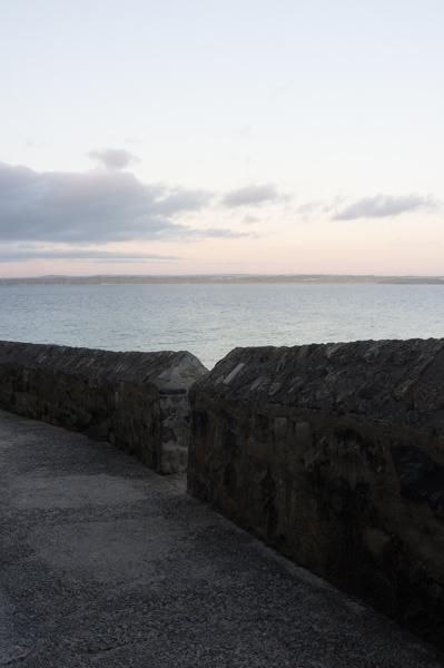
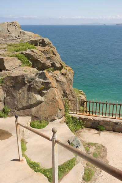
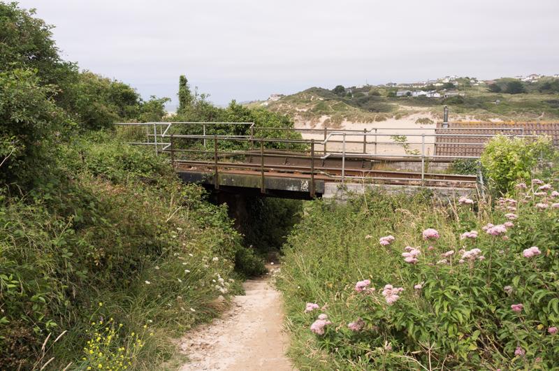
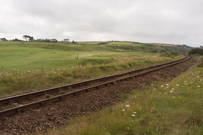
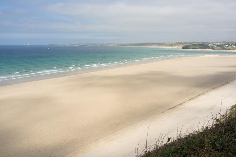
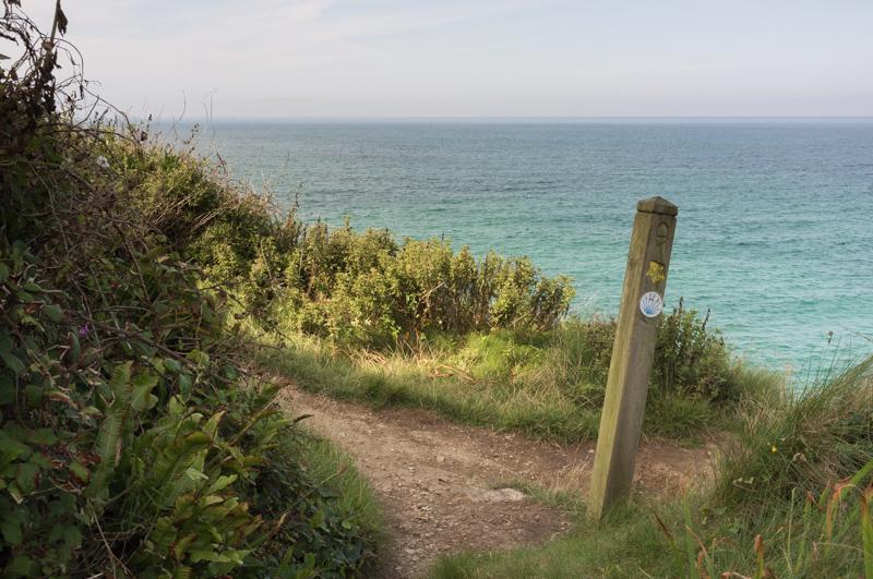
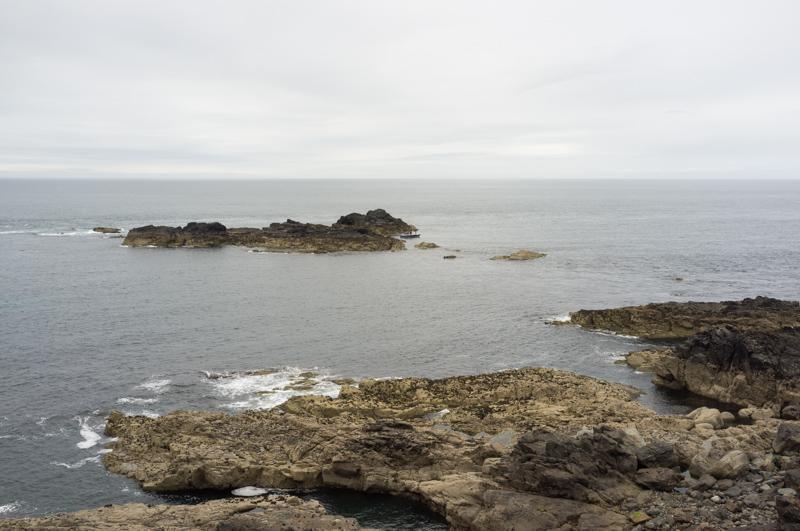
For the afternoon we walked part of the Southwest Coast Path by taking a train to the local park-and-ride station (Lelant Saltings) and walking back.

Iron monument railings in Lelant church.
1/1000 at f2.8, 23mm, ISO200 50°11′19″N 5°26′9″W
Some kind of rail inside the church.
1/15 at f2.8, 23mm, ISO1600 50°11′19″N 5°26′10″W
Pillbox by golf course. ‘DANGER - GOLF’. My thoughts exactly.
1/500 at f8, 23mm, ISO200 50°11′24″N 5°26′8″W
View from pillbox (1).
1/250 at f11, 23mm, ISO200 50°11′24″N 5°26′8″W
View from pillbox (2). Much prettier.
1/250 at f11, 23mm, ISO200 50°11′24″N 5°26′8″W

The coast path mostly followed the railway along the edge of the clifftop.

Railway bridge.
1/500 at f8, 23mm, ISO200 50°11′25″N 5°26′8″W
Railway curve.
1/500 at f8, 23mm, ISO200 50°11′33″N 5°26′22″W
Beach below (with cloud shadows and view back towards the lighthouse on Godrevy Island).
1/500 at f11, 23mm, ISO200 50°11′40″N 5°26′57″W
Orange flowers in bright sunlight on wooded part of path.
1/125 at f11, 23mm, ISO200 50°11′41″N 5°27′12″W
Waymarker: do not walk off the cliff.
1/250 at f11, 23mm, ISO200 50°11′51″N 5°27′19″W
Large tree and private gate in Carbis Bay.
1/30 at f4, 23mm, ISO200 50°11′58″N 5°28′11″W
A sign on the clifftop house claims it was once used to watch out for shoals of pilchard.
1/500 at f8, 23mm, ISO200 50°12′20″N 5°28′17″W

Tuesday

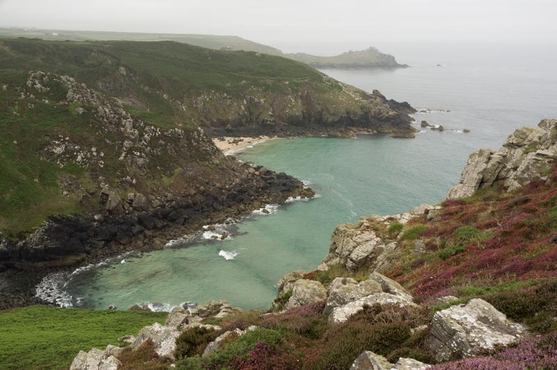
Tuesday’s walk was also along the Southwest Coast Path. The weather forecast had predicted a clear day, and we took a bus along the coast to Zennor.

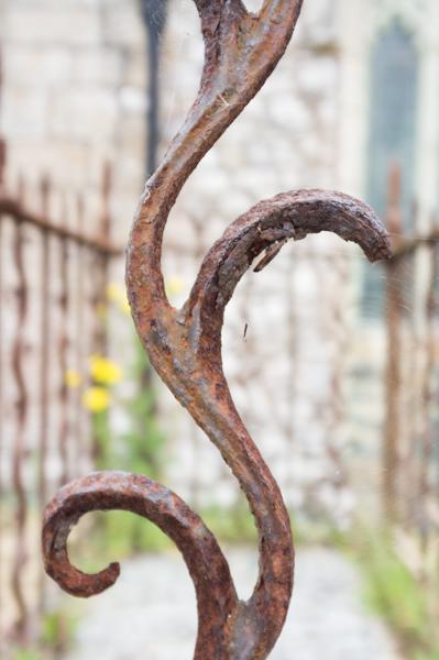
Zennor church has a pew with a mermaid carving, because of reasons, but otherwise is a normal small church. It does have the advantage (on days where the weather forecast predicts it to be clear) of a roof to keep the rain off.

Zennor churchyard, with clear hills in background.
1/250 at f8, 23mm, ISO200 50°11′30″N 5°34′3″W

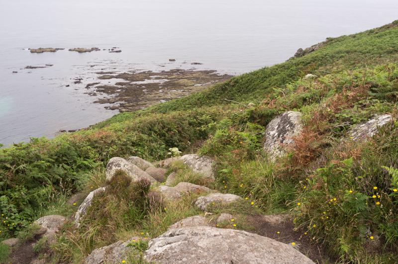
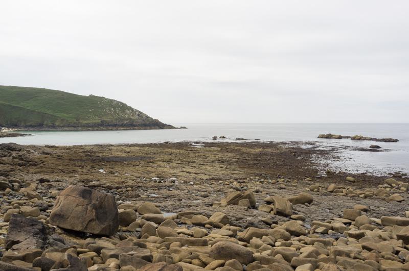
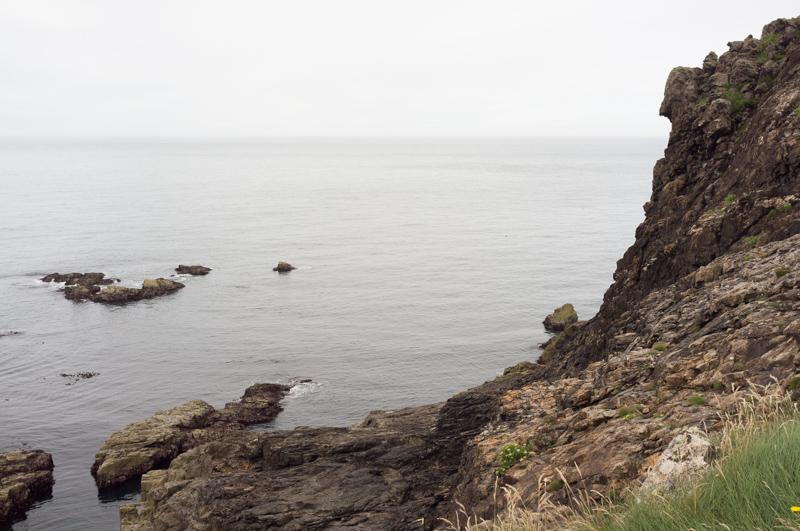
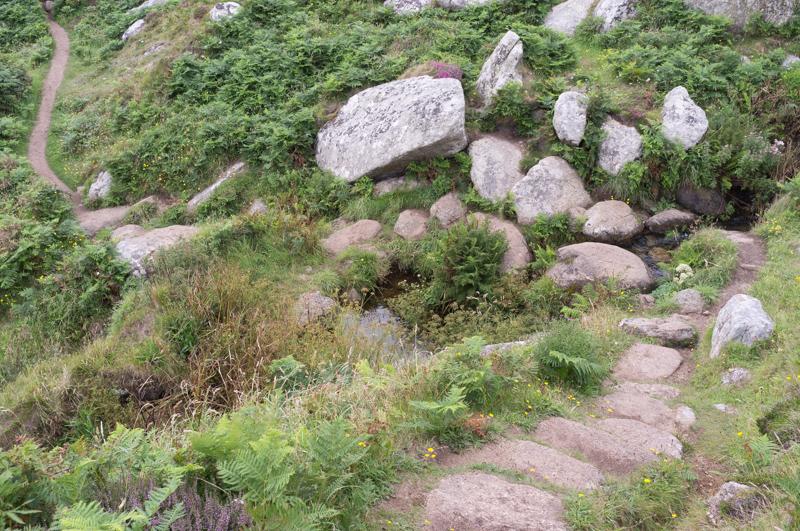
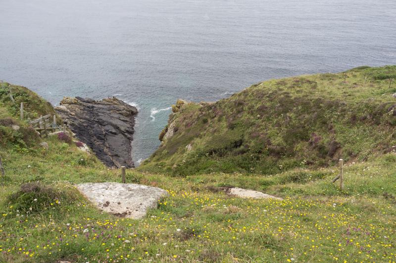
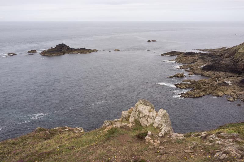
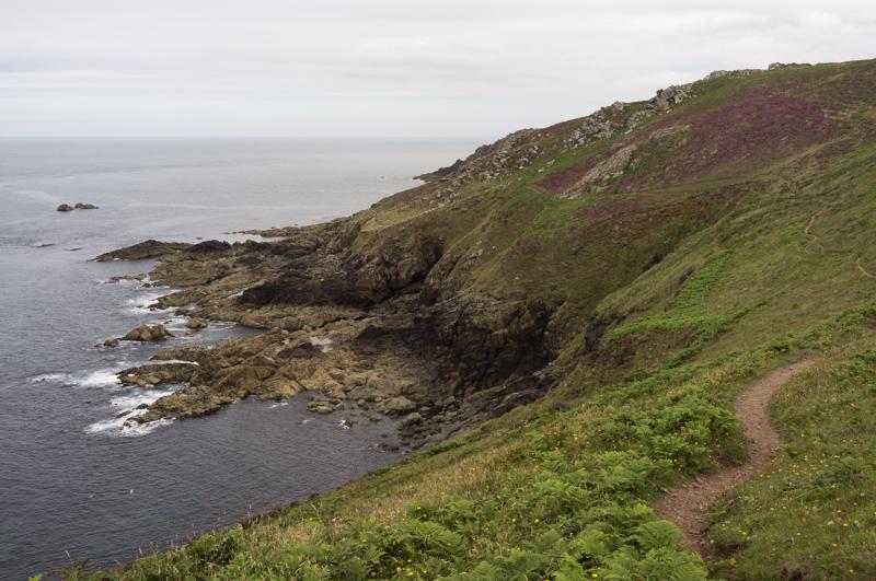
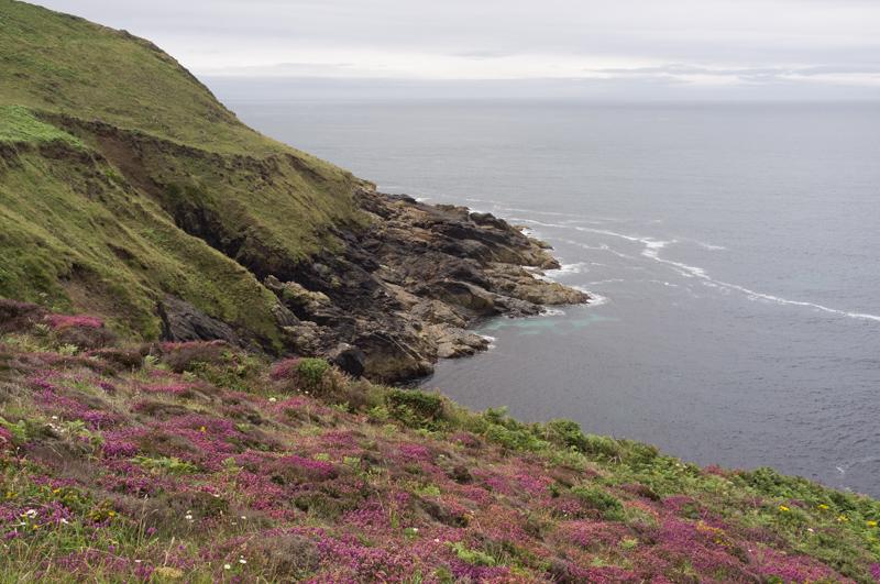
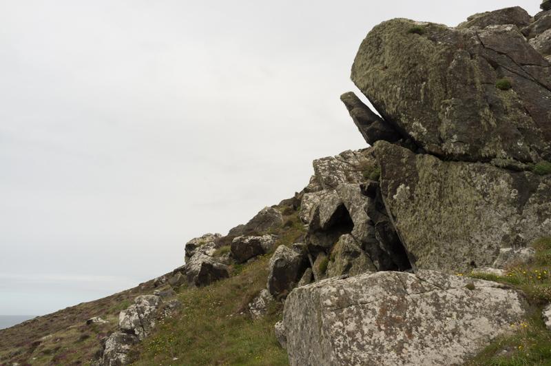
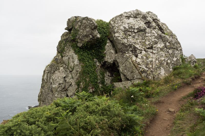
After a short walk from the village we reached the coast path proper, which runs along the edge of the cliffs all the way back to St Ives. This section of the path was described in our book as ‘short but testing’, and it claimed ‘half a day allows you plenty of time’. The first of these statements was true.

View back along the coast with Gurnard’s Head in the distance.
1/320 at f8, 23mm, ISO200 50°11′48″N 5°34′32″W
Rocks balanced on the edge of Zennor Head cliff, with sea beyond.
1/125 at f11, 23mm, ISO200 50°11′51″N 5°34′37″W
Fractal patterns in sea, from Tremedda Cliff.
1/320 at f11, 23mm, ISO200 50°11′54″N 5°33′57″W

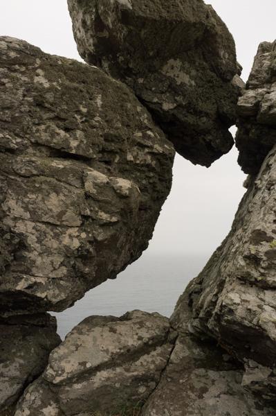
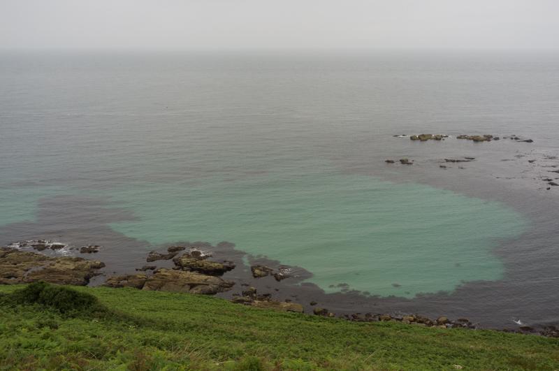
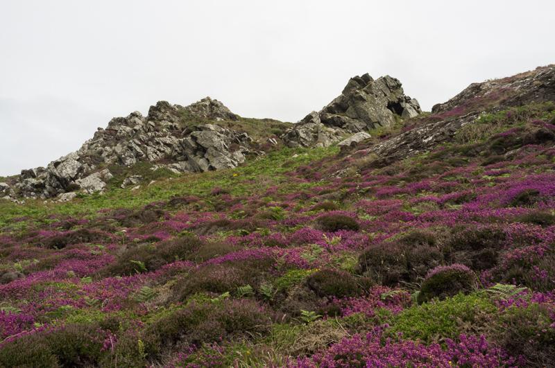
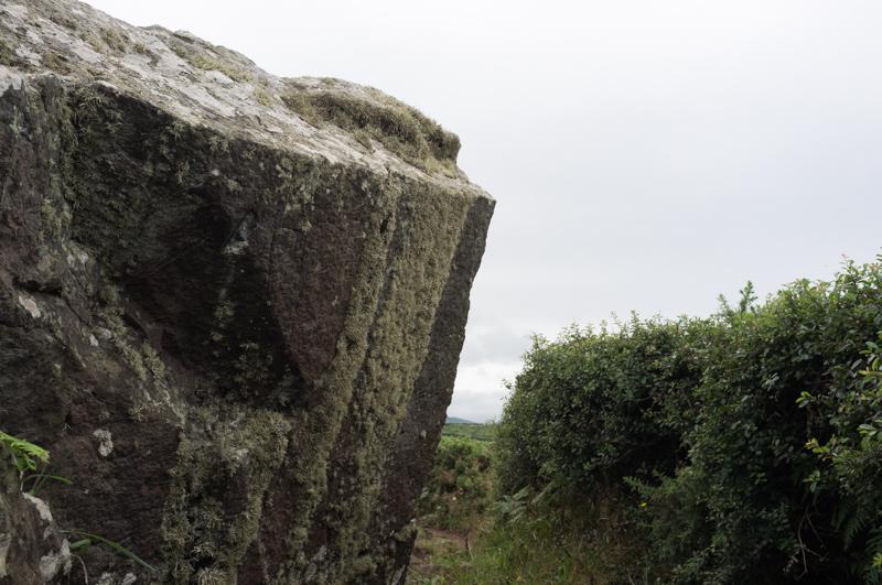
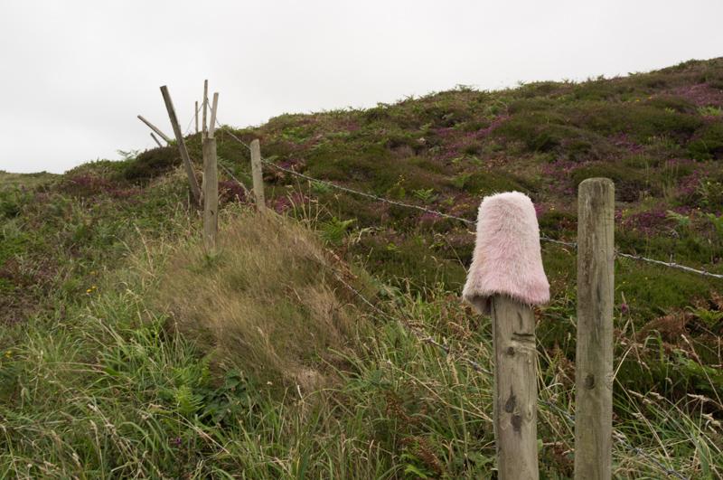
At some points the path stopped being a path and turned into a pile of rocks. It wasn’t always clear exactly which direction was correct, but we didn’t actually manage to get lost.

Looking ahead (and down) to the Gala Rocks, path in foreground.
1/250 at f8, 23mm, ISO200 50°11′57″N 5°33′50″W
View back to Zennor Head from the Gala Rocks.
1/500 at f8, 23mm, ISO200 50°12′7″N 5°33′42″W
Side of Tregerthen Cliff.
1/1000 at f8, 23mm, ISO200 50°12′11″N 5°33′36″W
View to Mussel Point.
1/500 at f8, 23mm, ISO200 50°12′11″N 5°33′23″W
Nice snaky bit of path.
1/125 at f8, 23mm, ISO200 50°12′10″N 5°33′18″W
Big rock.
1/500 at f8, 23mm, ISO200 50°12′13″N 5°33′15″W
Looking down to what I think is called Wicca Pool.
1/250 at f11, 23mm, ISO200 50°12′22″N 5°33′8″W
View toward The Carracks (aka Seal Island).
1/250 at f11, 23mm, ISO200 50°12′31″N 5°33′11″W
Economy Cove. (I’m not sure why - maybe it’s a really cheap place to get shipwrecked.)
1/250 at f11, 23mm, ISO200 50°12′31″N 5°33′9″W
Nice purple flowers (1).
1/250 at f11, 23mm, ISO200 50°12′35″N 5°32′58″W
Looking steeply down at some rocks.
1/250 at f11, 23mm, ISO200 50°12′36″N 5°32′57″W
Nice purple flowers (2).
1/250 at f11, 23mm, ISO200 50°12′36″N 5°32′57″W
More rocks by the path.
1/250 at f11, 23mm, ISO200 50°12′38″N 5°32′56″W
Seal Island again, with boat.
1/250 at f11, 23mm, ISO200 50°12′39″N 5°32′55″W
Looking back along the coast.
1/250 at f11, 23mm, ISO200 50°12′41″N 5°32′54″W
Another big rock next to a hedge.
1/250 at f11, 23mm, ISO200 50°12′47″N 5°32′19″W

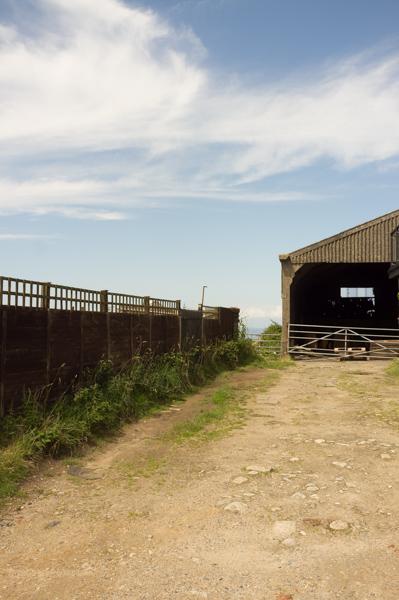
We could see a derelict mine building in the distance, but unfortunately didn’t have the opportunity to get closer (it’s probably part of somebody’s farm anyway).

Purple flowers (3), another large rock, and the mine tower.
1/250 at f11, 23mm, ISO200 50°12′47″N 5°32′17″W
An even bigger rock.
1/100 at f11, 23mm, ISO200 50°12′54″N 5°30′41″W
Pink furry hat.
1/100 at f11, 23mm, ISO200 50°12′54″N 5°30′37″W

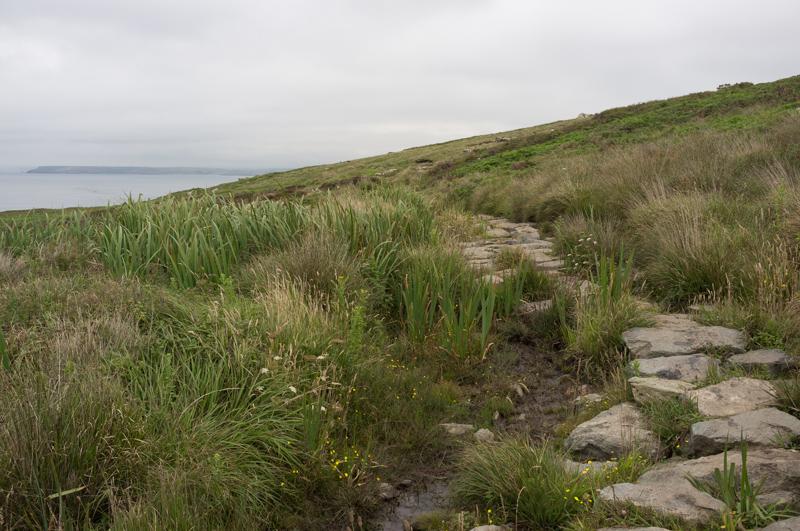
The next segment of walk crossed rather marshy ground, and we were swarmed by flying ants.

Stepping stones.
1/250 at f8, 23mm, ISO200 50°13′2″N 5°30′5″W
Inlet far below.
1/125 at f8, 23mm, ISO200 50°13′3″N 5°29′59″W

We made it back to St Ives in reasonable time, but it had taken us most of a day to cover just six miles. Respect to the guy who passed us in the opposite direction… wearing flip-flops.

That’s it for now. The remaining photos will be posted in a second set.

All images © Samuel Marshall. All rights reserved.