Christmas 2015, Staines area

Introduction

As usual I stayed with my parents over the Christmas and New Year period. These are a few photos from the local area around Staines.

Wraysbury

Mum, Dad, and I walked to Wraysbury, which is a nearby village. We were following a route from a book of local walks; on the previous attempt a year or so ago, we had gone the wrong way and got slightly lost. (It worked okay but we ended up climbing over a fence to get out.) This time we intended to do better...

The route leaves Staines along Moor Lane, then takes an underpass below the M25 and follows a path by the railway line to Wraysbury.

It’s very scenic, especially if you like pylons.
1/60 at f8, 23mm, ISO200 51°26′51″N 0°31′35″W
Another pylon in front of the Wraysbury Reservoir.
1/60 at f8, 23mm, ISO200 51°27′2″N 0°31′52″W
Derelict hut by railway line (1).
1/15 at f8, 23mm, ISO200 51°27′6″N 0°31′58″W
Derelict hut by railway line (2).
1/15 at f2.8, 23mm, ISO200 51°27′6″N 0°31′59″W
Small bridge.
1/30 at f8, 23mm, ISO200 51°27′11″N 0°32′5″W
Caravan in reservoir grounds.
1/30 at f8, 23mm, ISO200 51°27′12″N 0°32′6″W

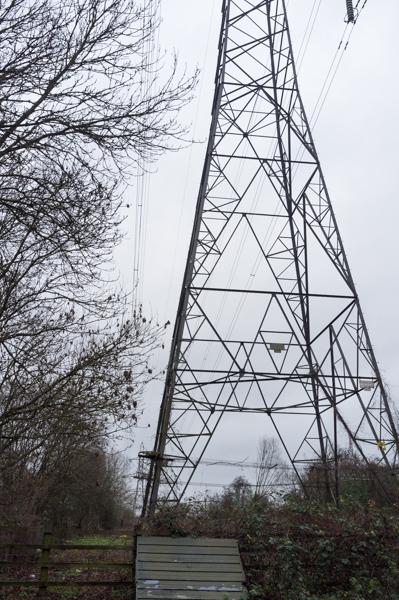
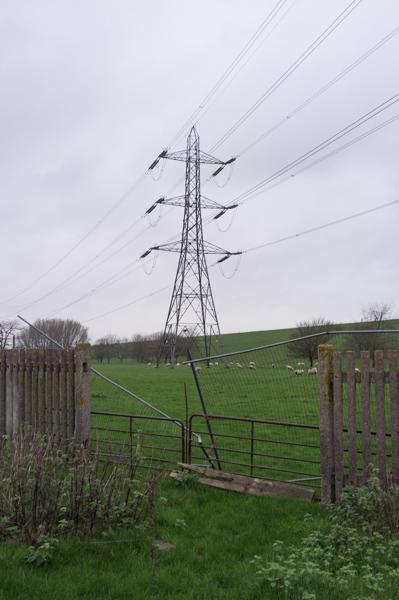
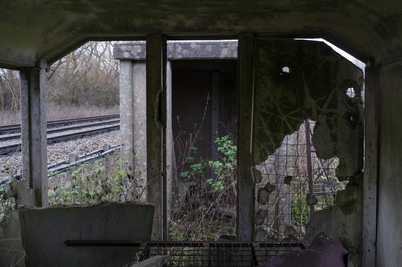
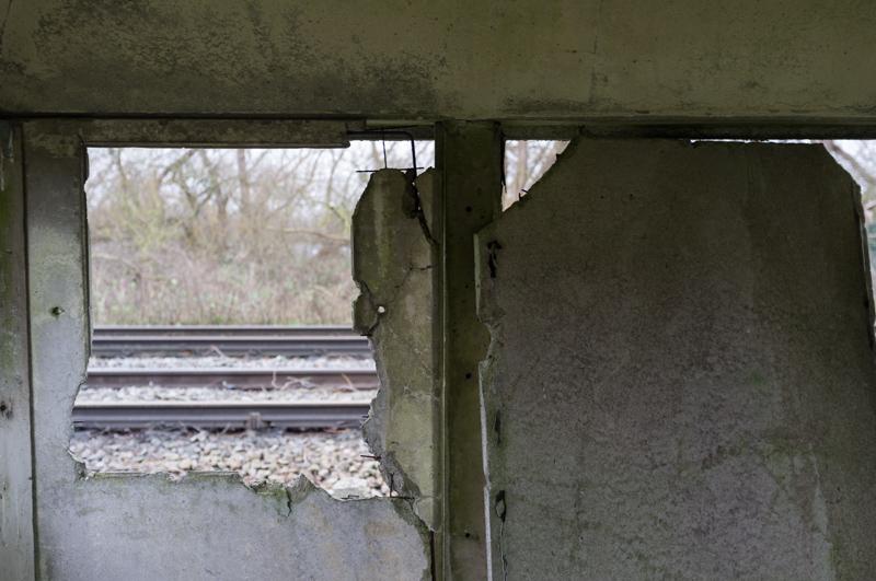
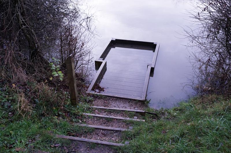
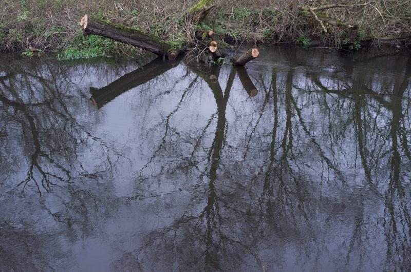
After crossing the railway using a pedestrian crossing, we had to negotiate the local gravel pits. This is where we got lost last time. We made very sure not to make the same mistake again.

Private fishing by one of the gravel pits.
1/30 at f8, 23mm, ISO200 51°27′14″N 0°32′19″W
Substantial bridge over the Colne Brook, presumably built for gravel extraction.
1/30 at f8, 23mm, ISO200 51°27′14″N 0°32′19″W
Nice bendy guardrail.
1/30 at f8, 23mm, ISO200 51°27′14″N 0°32′19″W

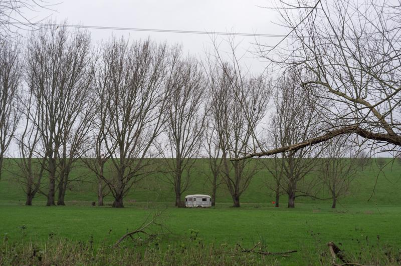
At this point we went the wrong way again (basically taking the opposite direction along the river). But it was an interesting route that none of us had ever taken before.

Reflections in river.
1/30 at f8, 23mm, ISO200 51°27′15″N 0°32′27″W
Dead barge at edge of gravel pit. (Graffiti: ‘HMS’ something - I couldn’t get closer to see.)
1/30 at f8, 23mm, ISO200 51°27′15″N 0°32′29″W

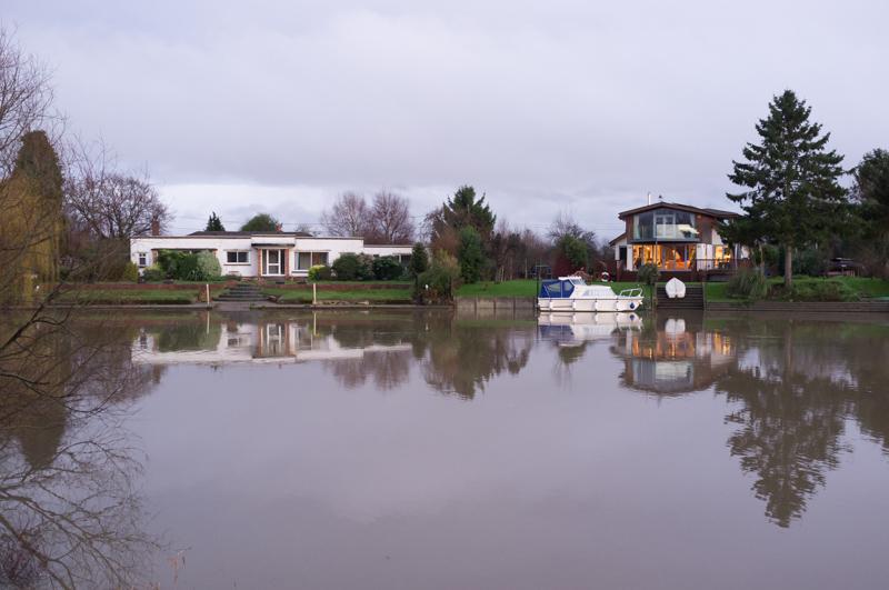
We arrived at Wraysbury proper and decided to walk along the main road to where we should have ended up.

Roof, weathervane, tree.
1/60 at f4, 23mm, ISO200 51°27′28″N 0°32′50″W
Baptist church.
1/30 at f5.6, 23mm, ISO400 51°27′25″N 0°33′14″W

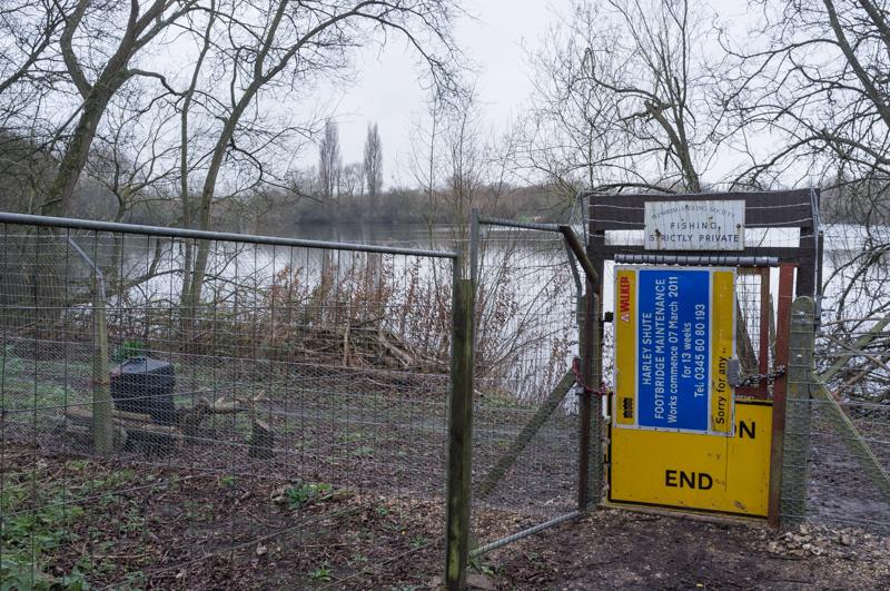
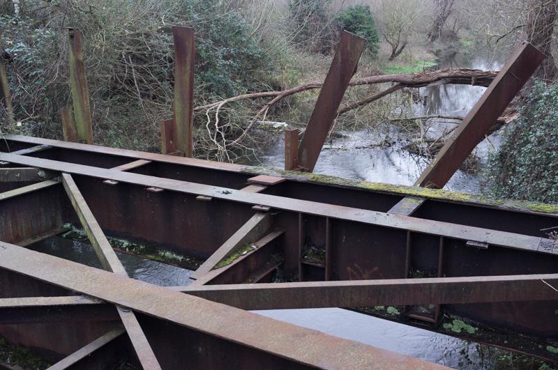
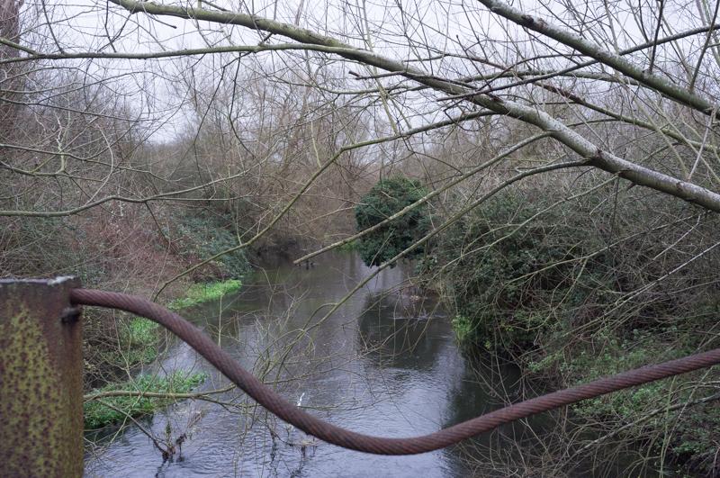
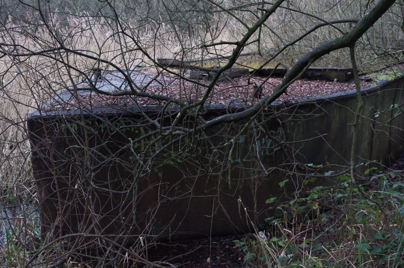
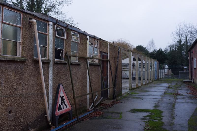
It was quite a long way, and the light was fading by the time we rejoined our intended route. We then took another quick diversion along Ferry Lane, where there is a small industrial site and you can cross the river at a weir... except you can’t, because it’s currently fenced off, so we had to go back and along the main road again.

Derelict building.
1/4 at f4, 23mm, ISO400 51°26′32″N 0°32′12″W

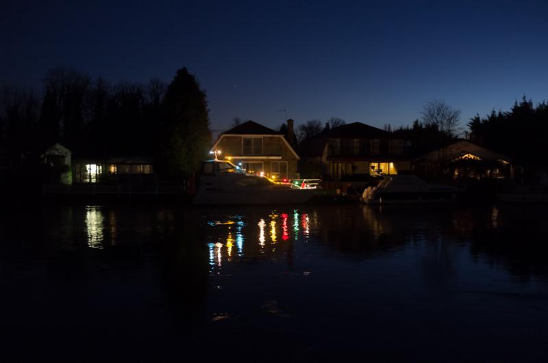
We crossed Lammas Park and walked the rest of the way back along the Thames in the dark.
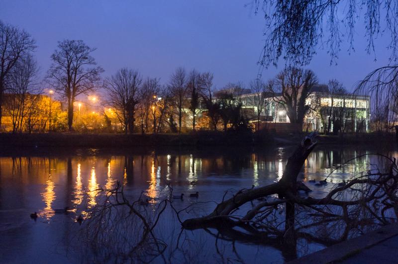
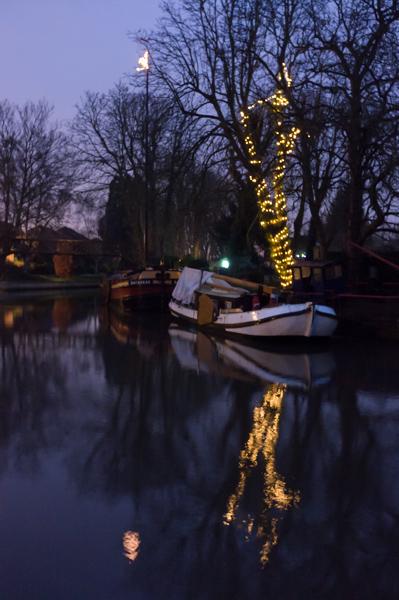
View across the Thames from Lammas Park.
1/4 at f4, 23mm, ISO800 51°26′7″N 0°31′18″W
Dutch barge with Christmas lights; Humber Keel ‘Daybreak’ behind.
1/2 at f4, 23mm, ISO800 51°26′7″N 0°31′15″W

Around the Thames

After the New Year, my mum and I took a short evening walk.

Fishing point, Penton Hook Island.
1/20 at f4, 23mm, ISO1600
Houses on Penton Hook.
1/25 at f2.8, 23mm, ISO1600 51°24′39″N 0°30′2″W
Tree reflected in puddle, Laleham.
1/15 at f2.8, 23mm, ISO1600 51°24′50″N 0°29′49″W
Boat with Christmas lights, Staines.
1/8 at f2, 23mm, ISO1600 51°25′3″N 0°30′22″W

All images © Samuel Marshall. All rights reserved.