Introduction
Over Christmas 2012, and New Year 2013, I stayed with my parents as usual. During that period we took a few walks in the local area, as well as further afield. I've grouped the local ones together on this page.
Shortwood Common
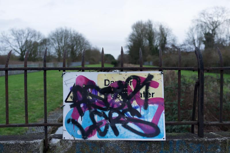
Dad and I went for a quick walk to the Shortwood Common area on the 23rd. We started by walking along Knowle Green to the old BAT headquarters building (which is now occupied by a company providing synergistic leverage solutions, or something like that), then along the road behind to the corner of common that got cut off by the Staines bypass road.
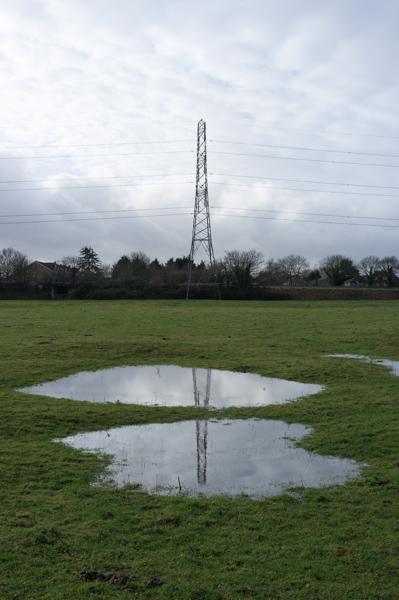
After leaving the common, we went to the area of the Crooked Billet roundabout (named after the Crooked Billet pub, which has been demolished).
We returned through Staines, along Kingston Road.
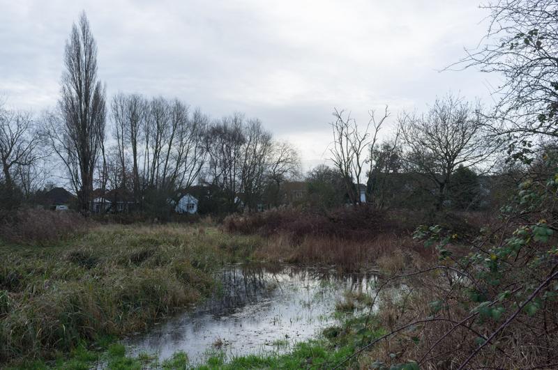
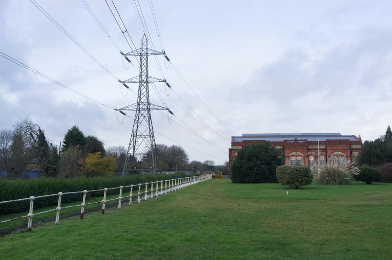
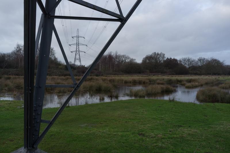
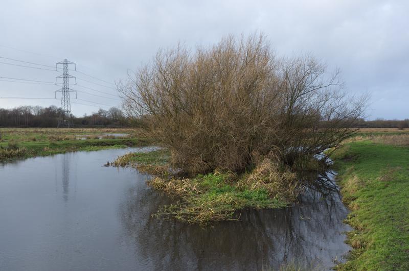
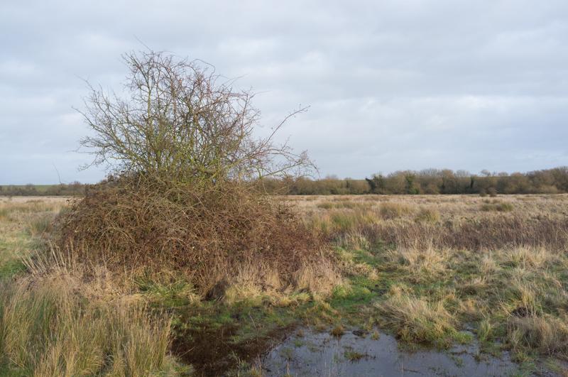
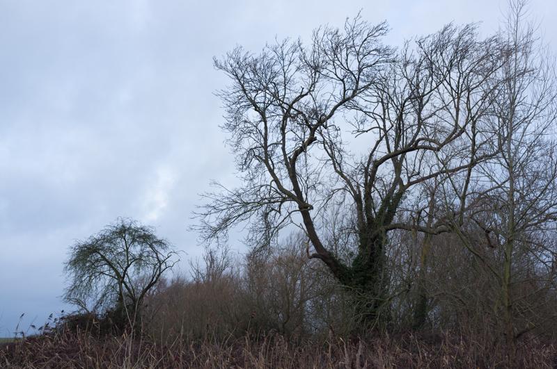
Staines Moor
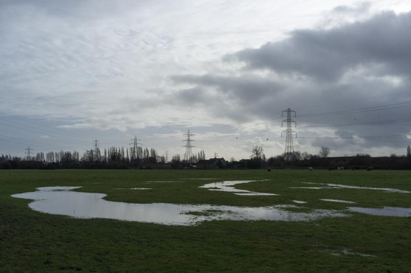
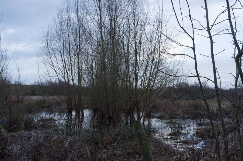
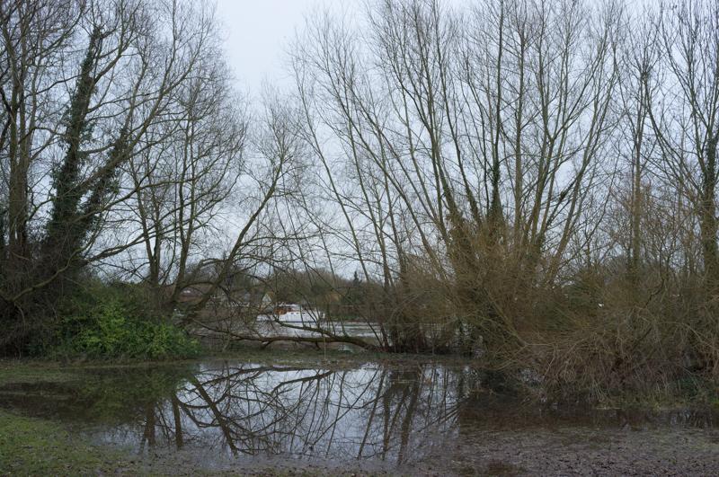
All three of us went for a walk on Staines Moor on the 30th. Partly we were curious as to whether it would actually be passable; a few years back in another period of flooding we had tried to cross the moor without success (well, it was quite successful in terms of taking lots of pictures of floodwater, but there was no way across the moor without a kayak). The flooding was much less extensive this time.
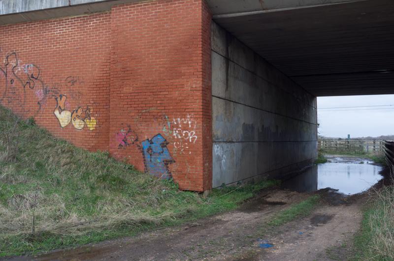
We initially planned to follow the disused railway. In the end, there was a change of plan and we had to backtrack a bit.
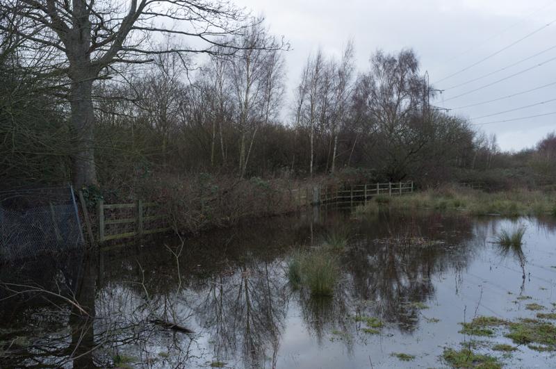
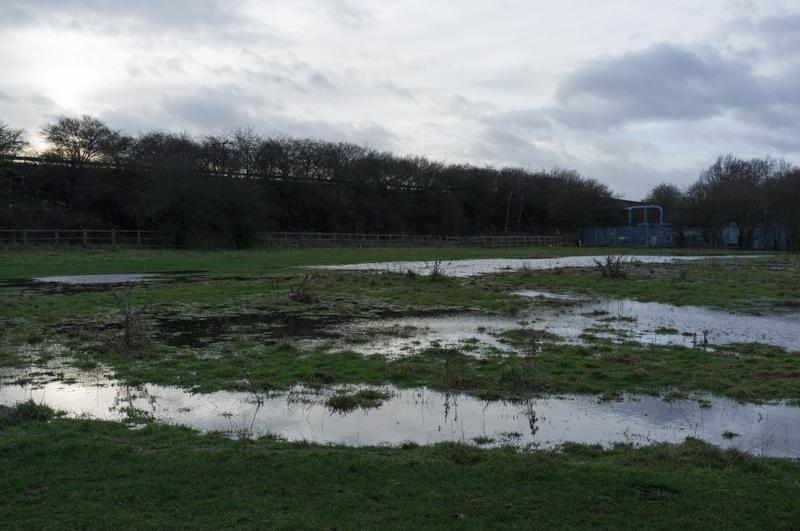
The main path across the moor was passable (I suspect the main path is the main path precisely because it's on parts that don't often flood), and we easily made it to the bridge over the official river. After that, there was one sketchy part where we had to get around a large puddle, but I didn't actually get wet feet.
This area also boasts the oldest known yellow meadow anthills in Britain (yes really), but I didn't photograph them this time. I did take another picture of the burnt-out Land Rover, but I haven't included that one.
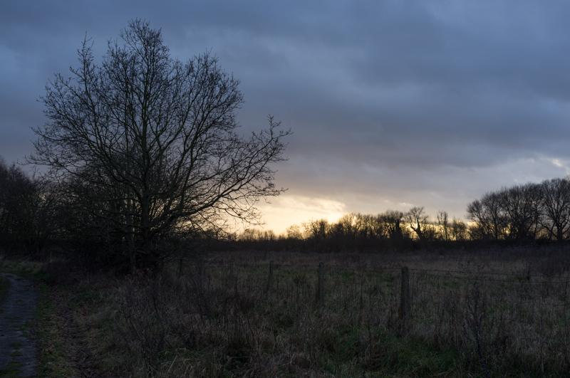
We reached the other side of the moor as the afternoon drew toward its end, and returned along the concrete path beside the bottom of the reservoir.
Penton Hook island
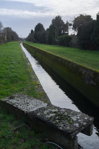
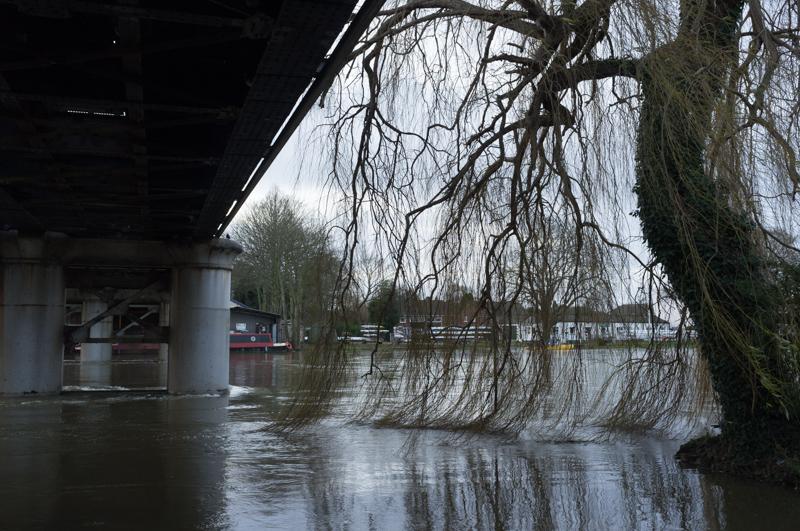
By the 2nd, the Thames had subsided and the towpath was no longer flooded. Mum and I took a short walk along the river to Penton Hook Lock and the island across it.
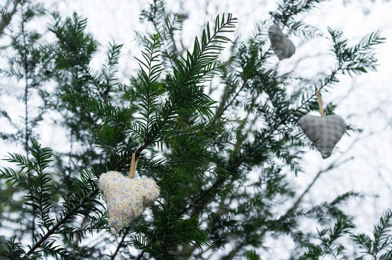
Futher on, a couple more of the heart decorations were tied to a bench dedicated to a local teenager (Matthew Lyne) who died of cancer in 2009, so that may also be the reason for the tree decorations.
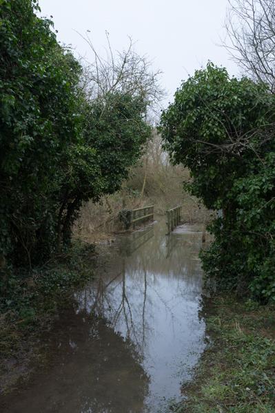
We weren't entirely surprised to find that the path around the outside of the island was blocked. So was the path through the middle. After scrambling under branches on cross-paths, we ended up returning back to the route by which we'd come. Then we went back to have a look at the other end of the flooding.
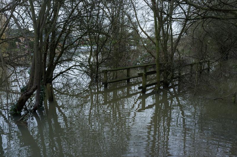
The pond they built in the island is supposedly meant to provide a refuge for fish in 'times of high flow', which might include when these pictures were taken.
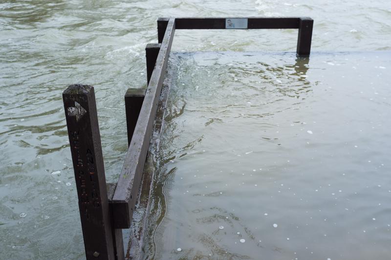
(The plaque in the photo is for somebody called Kadir Shillingford, who died near here in 2010 along with Ian Coy.)
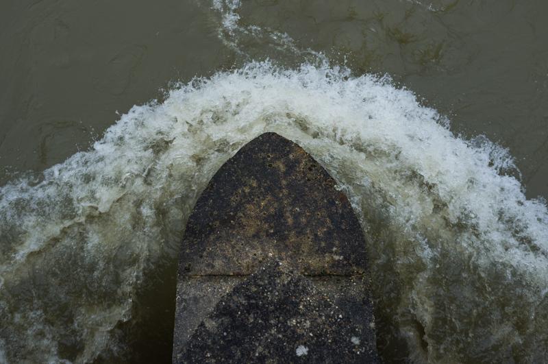
The first weir between the lock and the island was fully open, meaning that even though the Thames is flowing fast, the curve around the island was almost still.