Introduction
Over the Christmas period, I went to stay with my parents. From there, as well as visiting relatives, we also went on several walks around the local and London area.
Thames Path: Barnes Bridge to Vauxhall
We've been walking the Thames Path upstream, but at this time of year the days are too short to do any more of that, with travel involving train and bus and taking a couple of hours. However, there are some chunks of the Thames Path in London that we haven't walked yet. On the 27th, we picked one of these: Barnes Bridge to Vauxhall.
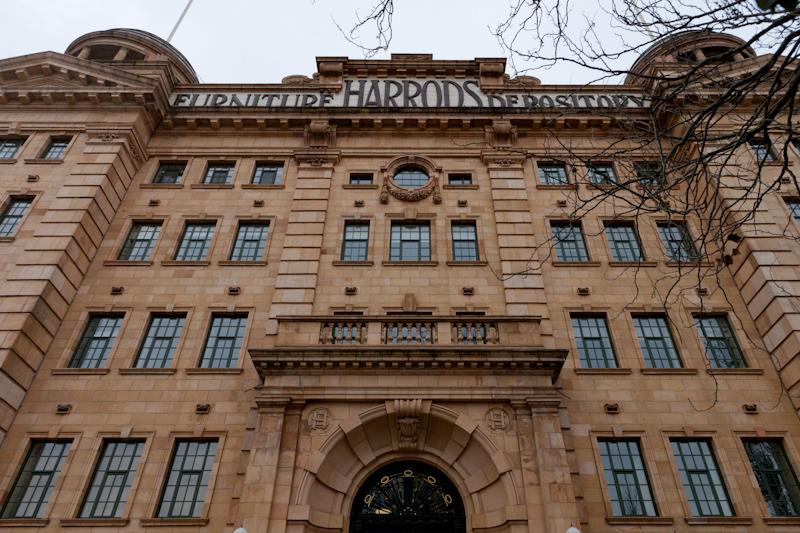
This really used to be a 'furniture depository'; it was started to store furniture of people who went abroad to rule Africa, or whatever. Nowadays, it isn't owned by Harrods, but storing yourself there (in a two-bed flat) still costs about a million.
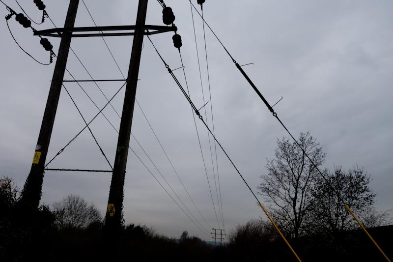
We passed a Big Yellow Self-Storage later in the walk, but my bet is that in a hundred years time, nobody will be converting that into luxury flats.
There are about a million rowing clubs in the strip of bank leading up to Putney Bridge. We think it's where the Boat Race starts, or something like that.
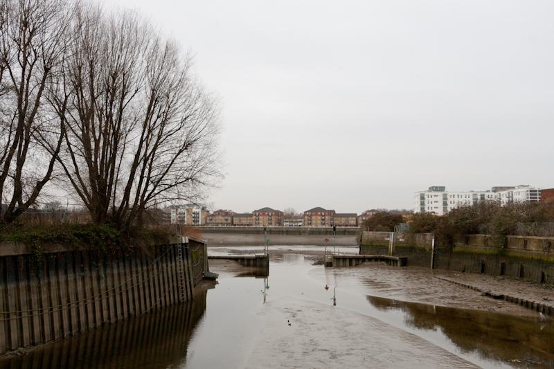
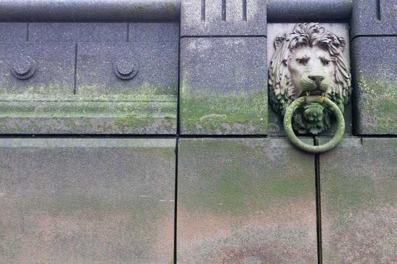
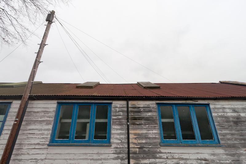
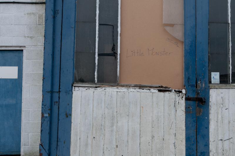
Beyond Putney, the riverbank gets a lot more ex-industrial, by which I mean enormous (and mainly ugly) blocks of new luxury riverside flats, built where there used to be a working wharf or factory. But if you go inland a bit (which the Thames Path does at points when there's no access to the bank), there is still a little bit of actual working business.
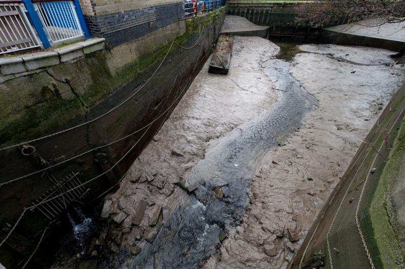
The River Wandle joins the Thames here at Bell Lane Creek. Apparently, the river is hugely cleaner than it used to be, because all the industry that used to pollute it closed down. Of course, at low tide it remains agreeably slimy.
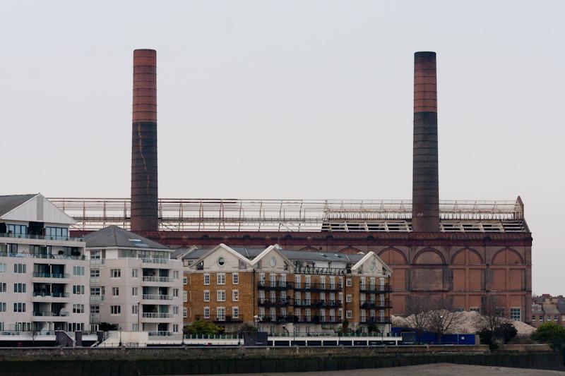
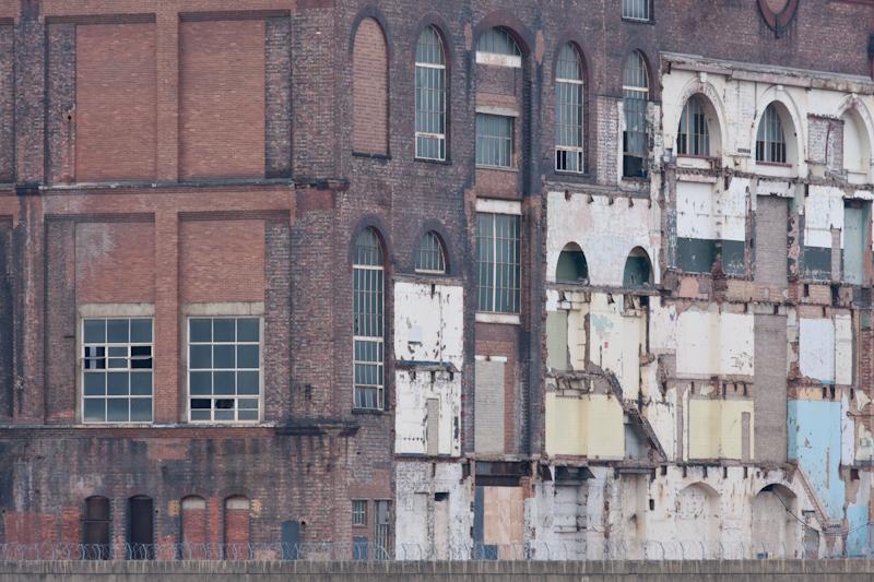
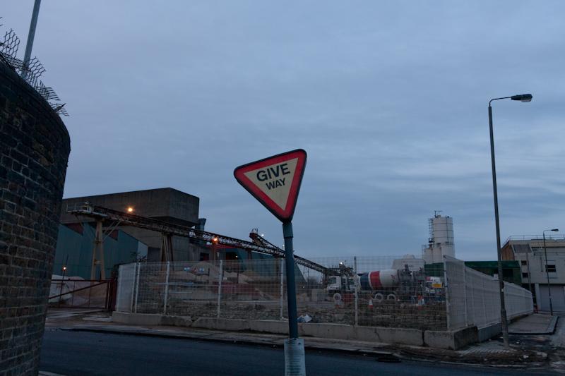
After that, there's a big rubbish and recycling plant (not that exciting) and what appears to be some kind of cement works before Wandsworth Bridge; some fairly entertaining graffitied old factories opposite; a rather dull heliport; and then Lots Road Power Station on the opposite bank. Bizarrely, this appears to have provided (some) power for the Tube until 2002. Anyone familiar with London will probably have guessed that it isn't the biggest or best power station in this walk, but it's still pretty neat.
Incidentally, opposite the power station there's a rather pretty church on the bank where we were actually walking. Apparently Mum once locked her bike outside said church, and came back at high tide to find it in the water...
The path continued past Battersea Bridge and Albert Bridge; then we were in Battersea Park.
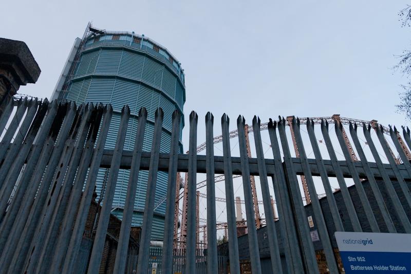
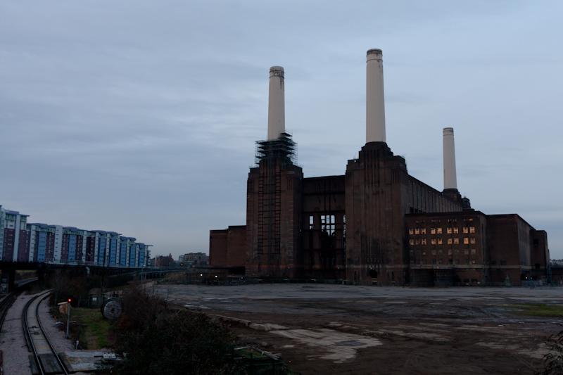
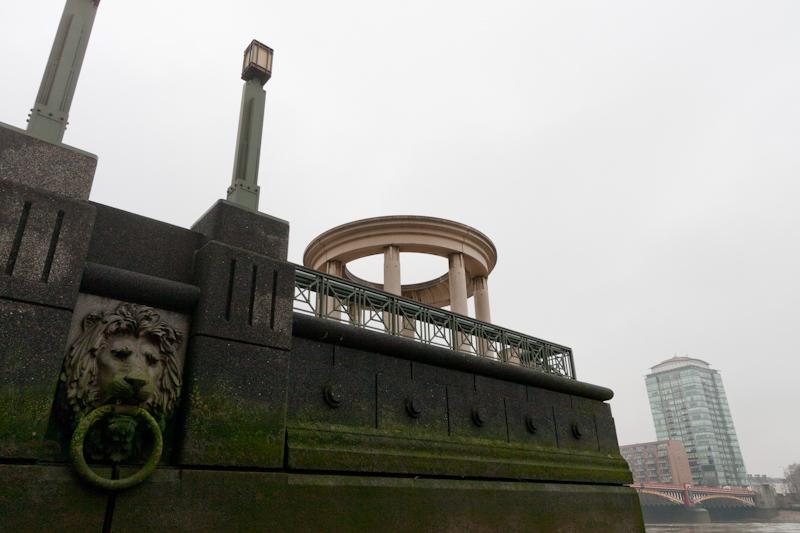
After the park, the route leaves the river again, reaching an exciting area: first gasholders, which are always good, then Battersea Power Station, which is officially (well, not really) the eighth wonder of the world. (Link goes to 6 minute video with history/information, found at random. Low res and lots of shakycam but quite interesting.)
We just about managed to reach Vauxhall before it got actually dark, so not bad timing!
Thames Path: Vauxhall Bridge to Waterloo Bridge
On the 30th we were going to see an exhibition at the British Library; we decided to go there on foot from Vauxhall and so walk a little along the Thames first.
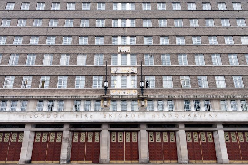
After Lambeth Bridge the path goes beside Lambeth Palace and St. Thomas's Hospital [which is apostrophised correctly on the Victorian engraving, but not in the name on top of its 1960s block]; then you get to the South Bank buildings leading up to Waterloo Bridge, where we left the path and headed north.
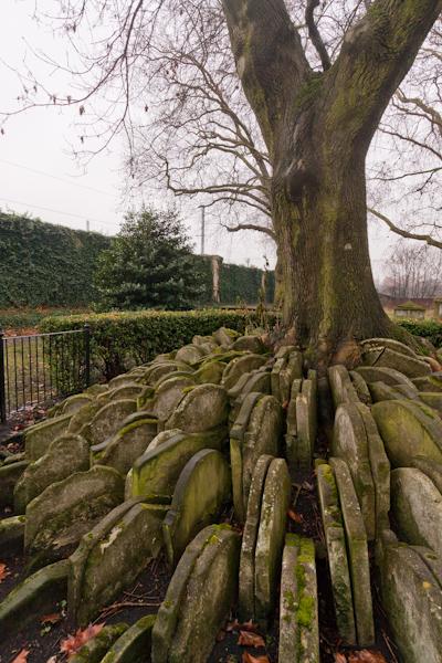
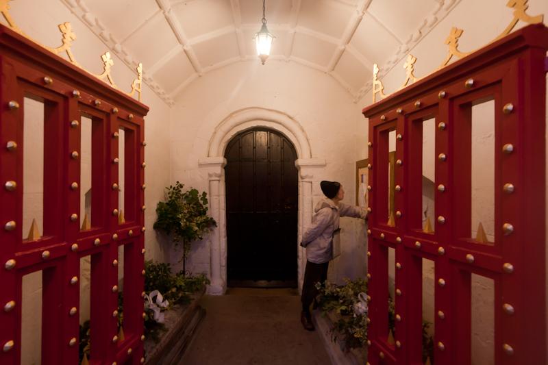
Before going to the exhibition, we ate lunch in the nearby Old St. Pancras churchyard:
Staines: across the river
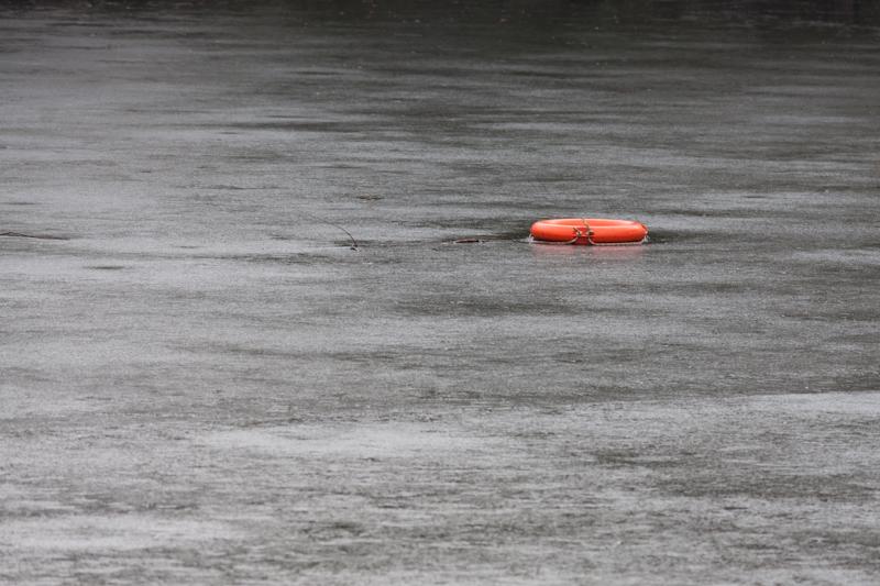
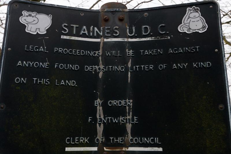
My parents live in Staines. (Sample 1960s joke: 'Housewives! Do you want to avoid unsightly stains? Then try the A30 bypass'.) Anyway, we had seen an old picture of a part of river where we often walk, and decided to go across to the other side - which is sort of hard to get to and not on the way to anywhere - to take the same picture.
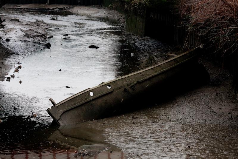
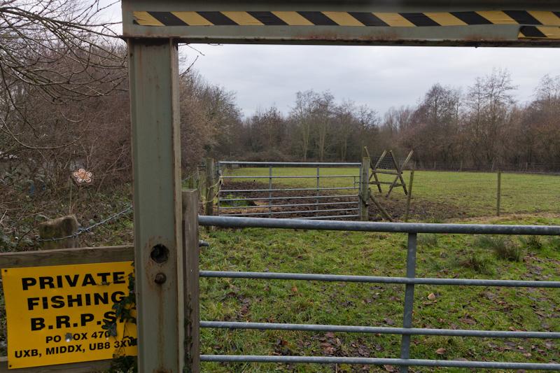
I haven't included that picture, because it's rubbish, but there's a small light industrial estate (basically a boatyard and a few service businesses):
Box Hill
On New Year's Day, we decided to go for a 'country' walk on Box Hill.
The first part of the walk was a bit strange, because some kind of run was in process - people were running up and down the hill (which by the way is crazy tall and has a steep, stepped path, so it's a pretty stupid place to run - I got out of breath just walking up it). Lots were dressed as Father Christmas; other costumes included Superman (and Superwoman), Batman (and Batwoman), a fox, somebody who might've been King Arthur, and so on. There were random scary skintight blue people, barbarians, devils, etc. I think my favourite was the woman dressed as a Christmas tree.
While this was entertaining, it did get in the way rather. To begin with, they weren't letting us cross the stepping stones at the bottom, so we had to take the bridge instead. Then when you have people both running up and down a narrow path at the same time as you're trying to walk up it... well, we tried to walk off the path where we could and most of the runners were perfectly polite (nobody pushed us out of the way or anything), but it still felt a bit stressful.
Anyway, I didn't take any pictures of that part (and I'm crap at taking pictures of people, especially if they're moving, so I didn't take any of the runners either).
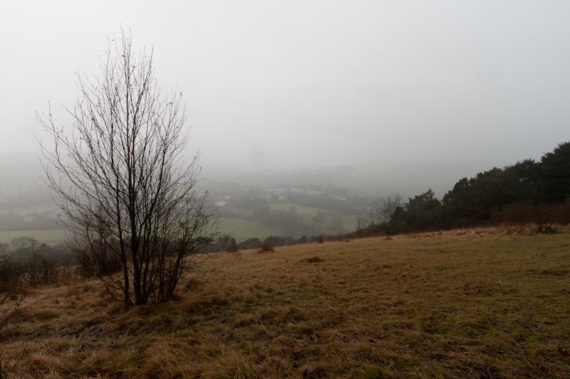
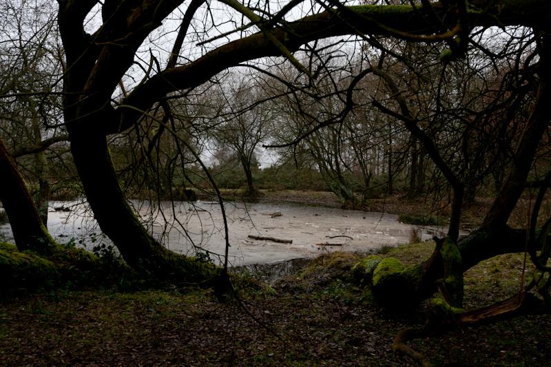
Incidentally, the weather wasn't great: from the top of the hill we had fantastic views over mist.
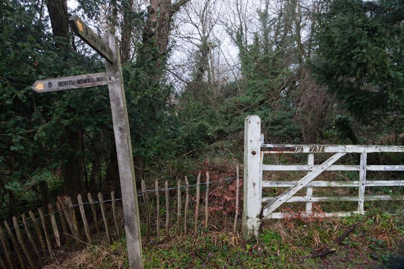
We were following the route of the North Downs Way to start with. When it was time to turn off that, the path we'd planned to take was too steep and slippery; we got part way up but had to turn back. This turned out to be a lucky break, because we got to see an impressive building next to an old lime quarry.
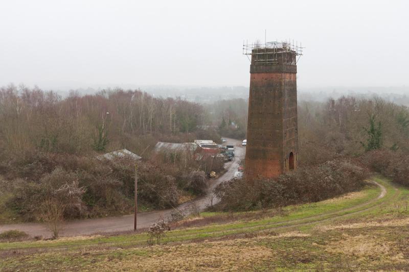
We weren't sure what it was but thought it might be a lime kiln; when we got home, mum suggested to look up in a book about industrial archeology to see what those look like, so I did. As it turns out, the BP Book of Industrial Archeology circa ages ago actually has a picture of this exact building! Freaky.
Anyway, the next path we tried was - just - climbable, so we headed north to National Trust land and a village called Headley.
We then turned west toward another small village, Mickleham. By now it was beginning to get dark - we'd measured the walk as ten miles but the first part had taken rather longer than hoped, what with the runners and, um, the walking uphill. According to the web, which was the only way to actually tell given the general greyness of everything, the sun had set before we reached Mickleham's church.
We returned to the railway station by a path alongside a road; it was still light enough to see (without using my phone as a torch), so we hadn't got the timing that badly wrong.
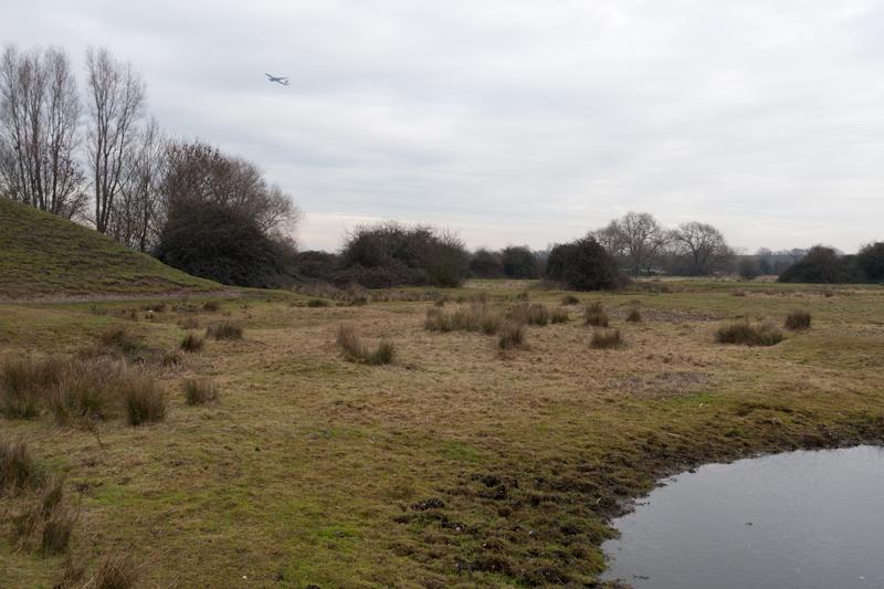
Staines Moor
Joan Gardam from my mum's church led a short guided walk around the local area on the 3rd, which we (me and both parents) decided to join. Her title for the walk was 'Field and fountain, moor and mountain', and we wondered where she was going to find a mountain in Staines. [Actually, Mum guessed it! But I didn't.]
There were about 20 people on the walk, but of course you won't see them in these pictures. :)
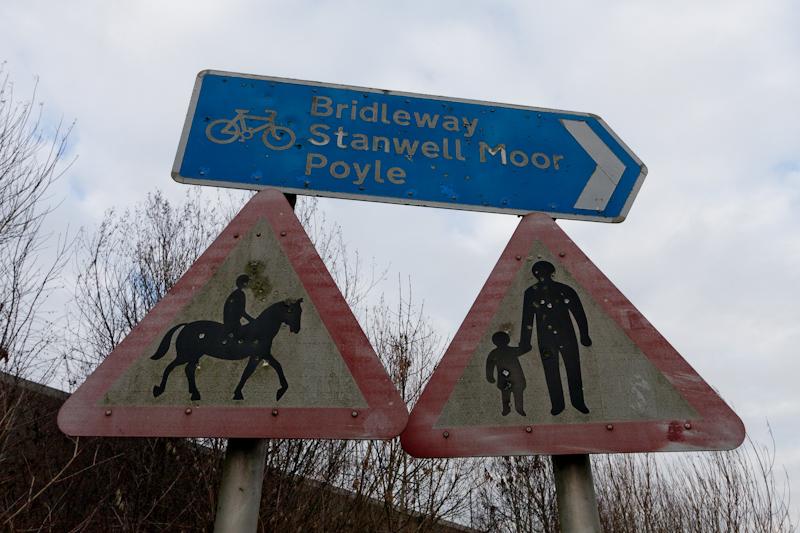
The mountain turned out to be a large (but not actually mountain-sized) bank of earth that had been built a long time ago for rifle practice of some kind. Nowadays they just use roadsigns.
Whew. That's it! Thanks for reading to the end.