Introduction
This is another walk on the Capital Ring long-distance path. Unlike last time, our journey to the start went as planned (except for having to wait twenty minutes for the appropriate flavour of Piccadilly Line train, due to a signal failure somewhere). The weather was dry but overcast.
Harrow
We resumed the walk from Sudbury Hill station, passing along residential streets and beside public playing fields to Harrow.
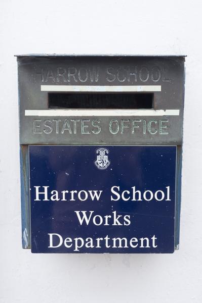
Harrow is the location of a famous private school. We didn‘t see any pupils wearing silly hats; probably their term had finished already.
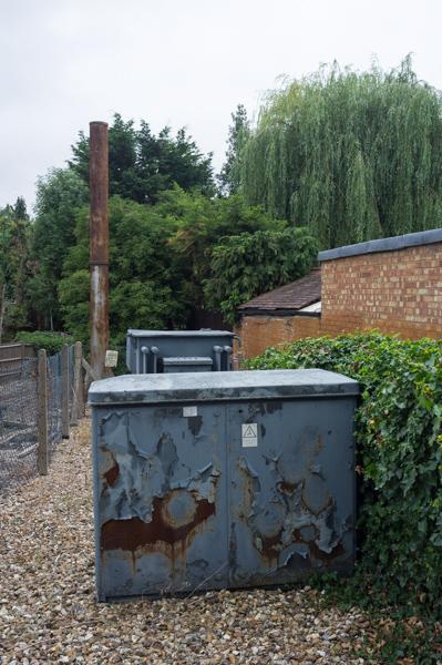
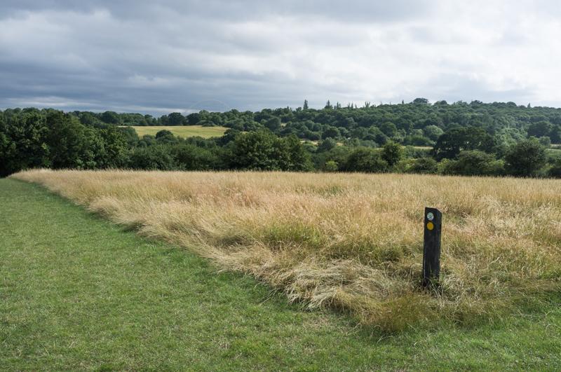
After following a path downhill and between the school‘s playing fields, we took a slightly less manicured public footpath that run beside Northwick Park Hospital and then by a golf course.

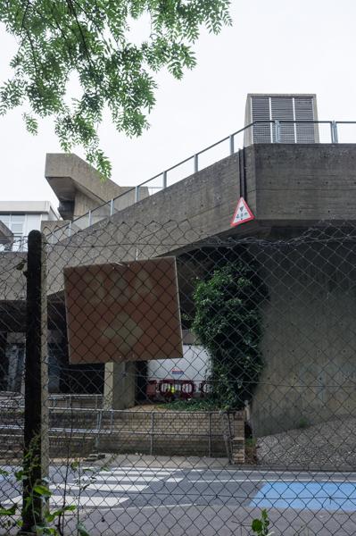
The path was a little overgrown in places, but not enough to cause us any real problems. We stopped in Northwick Park to eat lunch, watching trains pass on the West Coast Main Line.
South Kenton
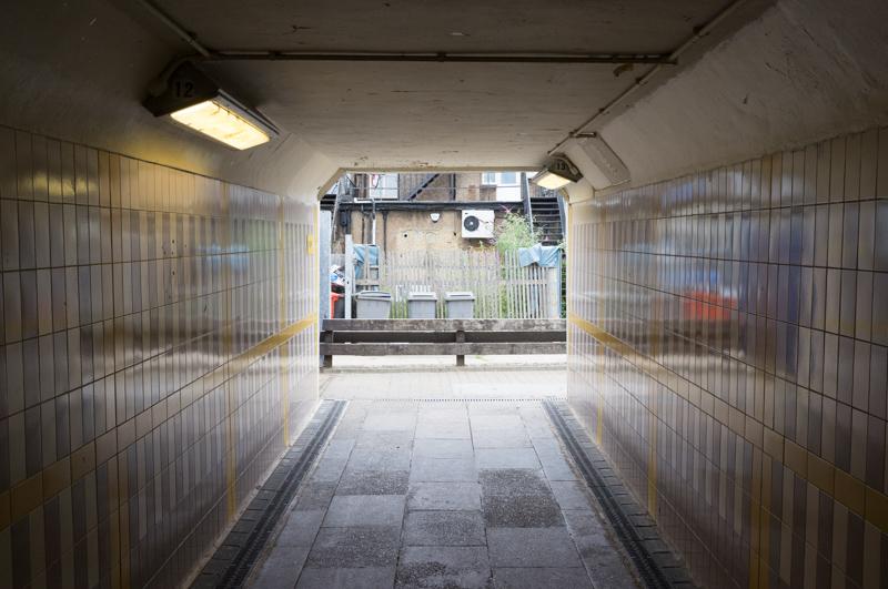
We crossed under the railway using the subway for South Kenton station.
We walked through a park and along a couple more residential streets to Preston Road, passing the railway station of the same name.
The next street had a number of rounded Thirties-style houses, some of which looked rather dillapidated. At the main road we passed under a railway bridge and along another street to reach the edge of the Fryend Country Park open space.
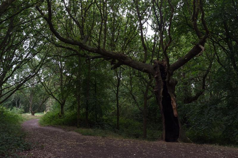
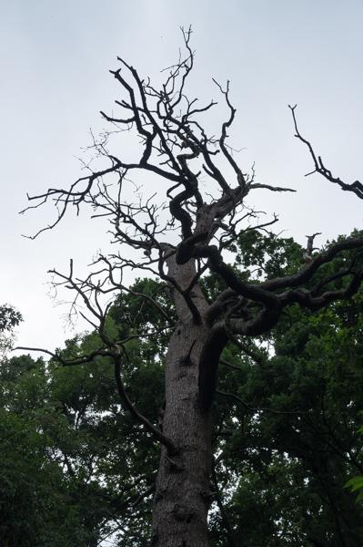
Our route climbed through woods past a pond to a viewpoint (of sorts - there were only a few breaks in the trees but you could at least see Wembley Stadium). Then down the other side of the hill, across a main road, along hedgerows and up another, less wooded hill. Here, the sun came out for the first time.
Churches
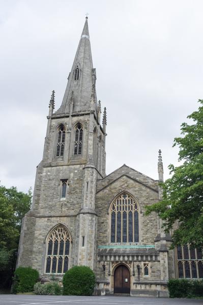
After this the path zigzagged through streets for some distance before reaching St. Andrew‘s Church. The church has an interesting history; the current one was originally built in 1847 in the Marylebone area of London, then demolished and rebuilt in its current location. Meanwhile the previous church, which is much smaller and was built in the 12th or 13th century, still stands and has apparently now been leased to the Romanian Orthodox Church.
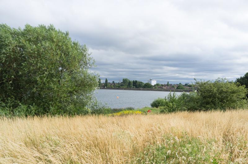
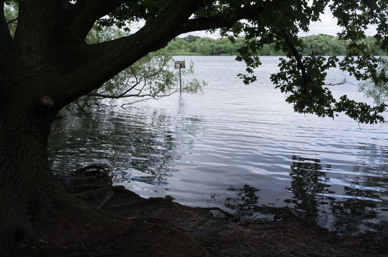
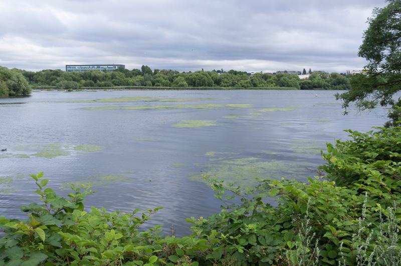
Welsh Harp
The last major feature of this walk was Brent Reservoir, also known as Welsh Harp. I was confused by the name (it isn‘t especially harp-shaped) but Wikipedia says it‘s named after a nearby pub, which closed in the 70s. The reservoir was built to provide water for the Paddington Arm of the Grand Union Canal.
We next had to walk a rather long way along a residential street.
Finally we crossed over yet another railway line and followed the edge of a park to reach the road near Hendon Central tube station, the end of this stage.