Capital Ring 13 and 14: Clapton to West Ham

Introduction

After a long interlude (for obvious reasons), R accompanied me in walking some of the Capital Ring long distance path in August 2016, starting from Clapton where the last walk in December 2015 had finished.
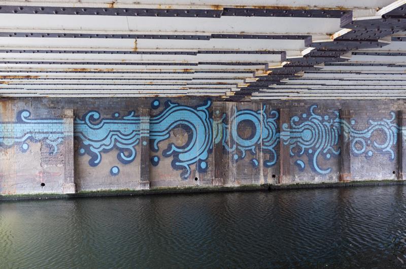
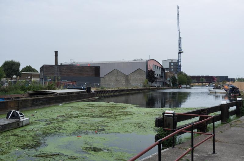
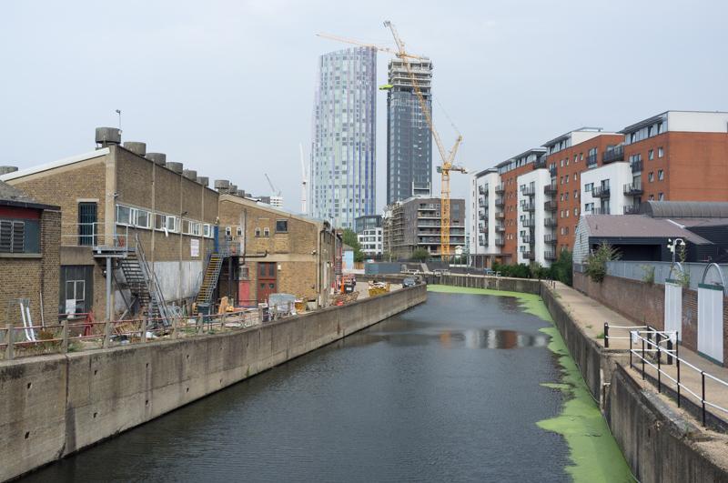
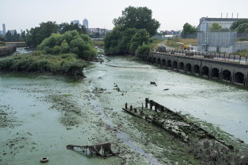
Lee Navigation

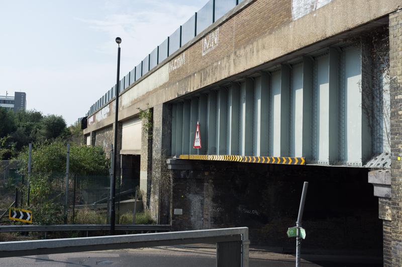
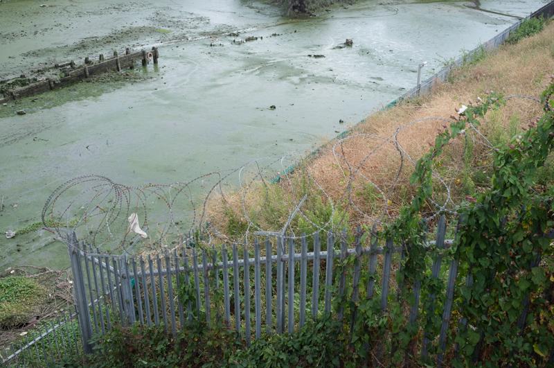
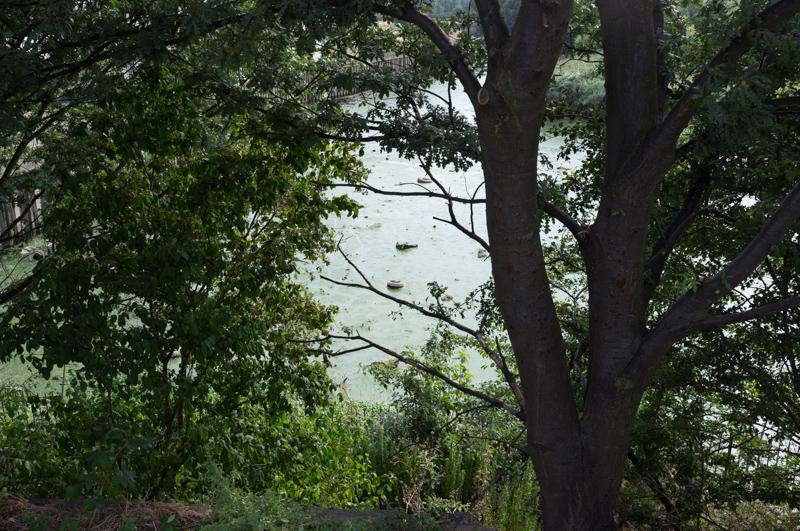
From Clapton station we walked through Millfields Park to the River Lea, which immediately branched into two at a lock. The Capital Ring follows one of the two streams, the Lee Navigation for a fair distance. (And yes, the spelling difference is correct, at least as per Ordnance Survey.)

Narrow boat with smiley in its name.
1/500 at f5.6, 23mm, ISO200 51°33′46″N 0°2′51″W
Bridges (carrying the imaginatively named Lea Bridge Road).
1/500 at f8, 23mm, ISO200 51°33′44″N 0°2′45″W
Underside of bridge.
1/125 at f2.8, 23mm, ISO200 51°33′44″N 0°2′45″W

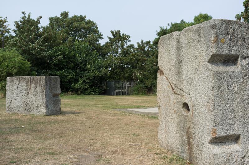
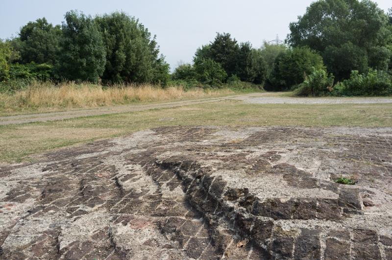
We diverted slightly from the path to have a look in the Middlesex Filter Beds nature reserve. It used to be a sewage treatment plant, which is a bit of a theme of this walk… The reserve includes the ‘Hackney Henge’ sculpture (and yes, I annoyed R by repeating that name out loud in my totally pukka London accent) - concrete blocks which apparently used to be the base for a pumping engine, arranged in a circular pattern.

Ackney Enge.
1/500 at f8, 23mm, ISO200 51°33′40″N 0°2′37″W
Interesting rippled brick base.
1/500 at f8, 23mm, ISO200 51°33′40″N 0°2′37″W
Cobweb on gate.
1/1000 at f2.8, 23mm, ISO200 51°33′38″N 0°2′33″W

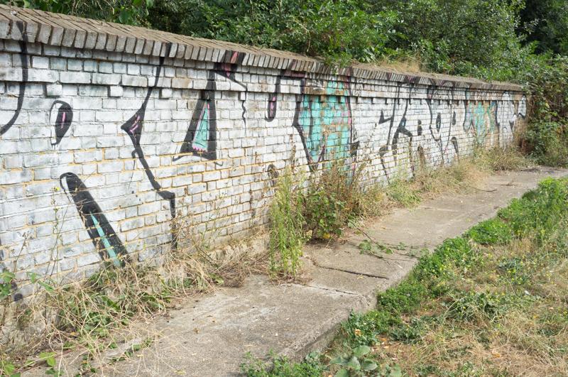
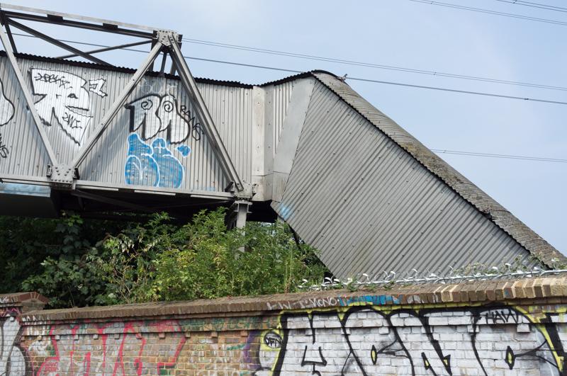
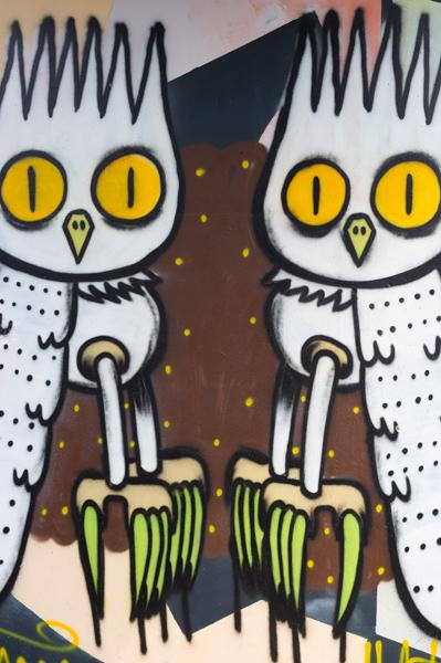
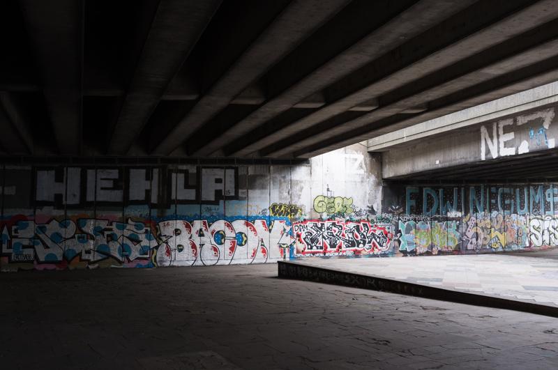
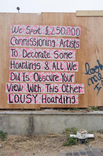
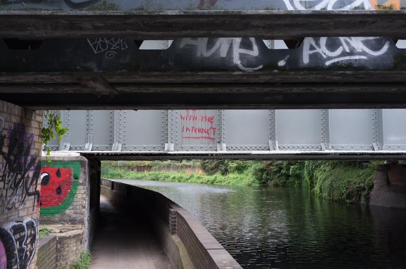
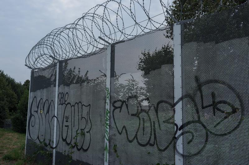
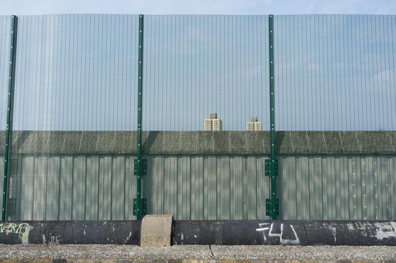
Then we returned to the Navigation towpath. The graffiti in this area is pretty strong.

Wall of nature reserve.
1/500 at f8, 23mm, ISO200 51°33′37″N 0°2′28″W
Nice bridge.
1/1000 at f8, 23mm, ISO200 51°33′35″N 0°2′23″W
Possibly a door.
1/500 at f8, 23mm, ISO200 51°33′34″N 0°2′22″W
Green footbridge.
1/500 at f8, 23mm, ISO200 51°33′29″N 0°2′19″W
Evil owls?
1/500 at f4, 23mm, ISO200 51°33′20″N 0°2′7″W
East Cross Route road bridge.
1/60 at f8, 23mm, ISO200 51°32′55″N 0°1′36″W
Barge.
1/640 at f4, 23mm, ISO200 51°32′50″N 0°1′31″W
Graffiti on building; two trains on bridge.
1/1000 at f8, 23mm, ISO200 51°32′34″N 0°1′18″W

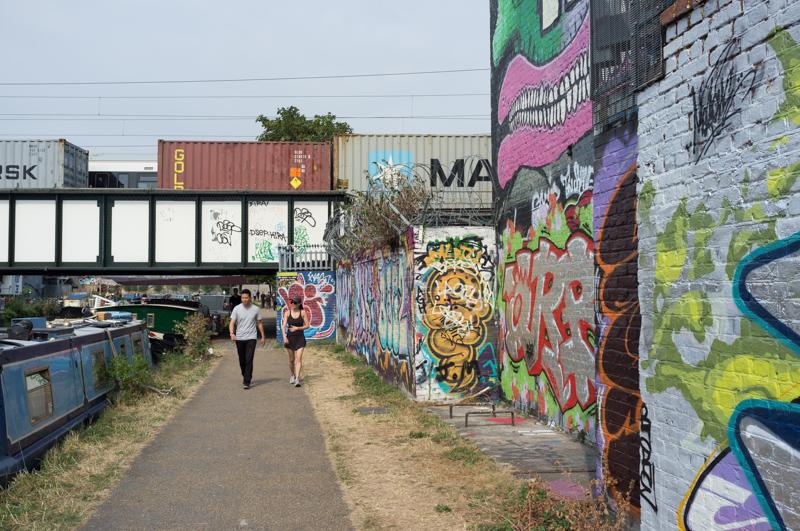
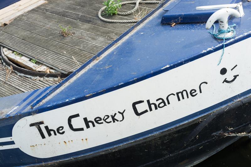
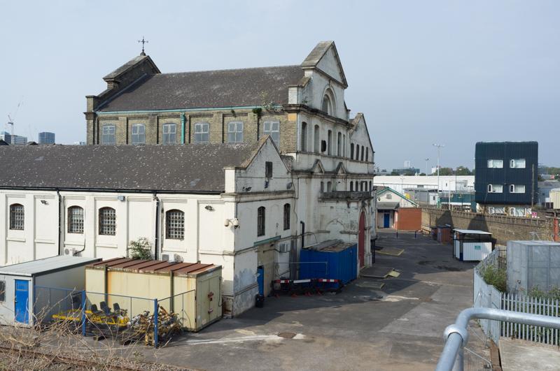
At this point we took a bridge across the river to eat lunch in a pizzeria, which is also a craft brewery, opposite. Pizzas were served on chopping boards, and the bartenders had silly beards, because this is Hackney (Wick). While I’m sure gentrification and the hipster takeover can be a terrible thing (also I like plates), I have to admit that mine was a really delicious pizza.

Under White Post Lane bridge.
1/125 at f4, 23mm, ISO200 51°32′33″N 0°1′17″W
Hoarding near part of the 2012 Olympic site.
1/250 at f8, 23mm, ISO200 51°32′24″N 0°1′13″W
Blue/white fence.
1/250 at f4, 23mm, ISO200 51°32′17″N 0°1′14″W
View across to Fish Island.
1/250 at f8, 23mm, ISO200 51°32′16″N 0°1′14″W
Bridge over River Lea, as the two streams rejoin (stadium behind).
1/250 at f8, 23mm, ISO200 51°32′14″N 0°1′14″W
‘With the Internet’ bridge.
1/250 at f8, 23mm, ISO200 51°32′12″N 0°1′17″W
Pipe bridges.
1/125 at f8, 23mm, ISO200 51°32′10″N 0°1′16″W

NOSE

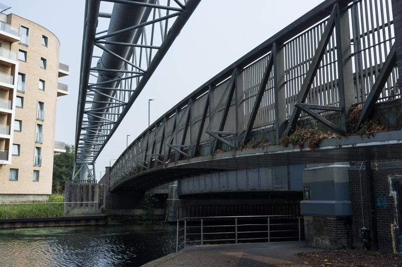
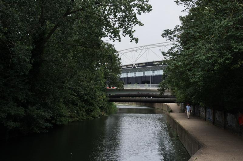
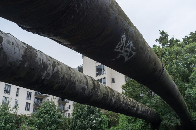
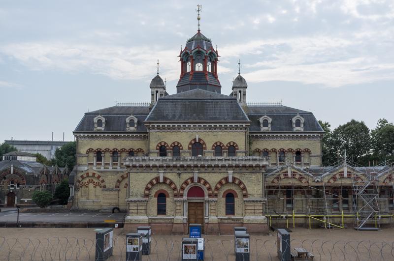
The Capital Ring walk than left the canal, climbing to the top of the Northern Outfall Sewage Embankment. And yes it’s a very large sewer, part of the original Bazalgette sewage system built in the 1860s that stopped everyone getting cholera. There’s a wide path along the grassed-over top, called the ‘Greenway’. It doesn’t smell bad. Mostly.

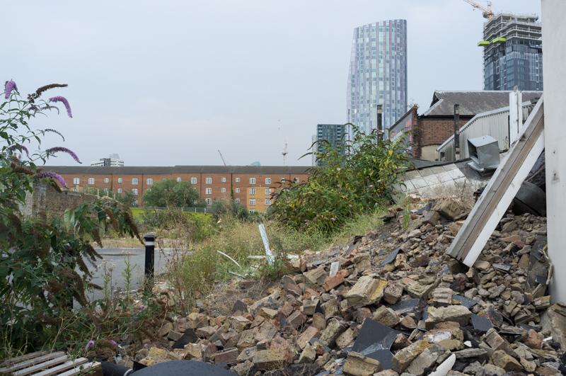
After a while our path diverted from the sewer along Marshgate Lane, which I think was partly demolished for the Olympics, but is still relatively picturesque.

Railway bridges.
1/500 at f8, 23mm, ISO200 51°32′4″N 0°0′43″W
Demolition on corner of Marshgate Lane.
1/250 at f8, 23mm, ISO200 51°31′58″N 0°0′39″W
Gates.
1/250 at f8, 23mm, ISO200 51°31′57″N 0°0′40″W
Metal beams bracing facade.
1/250 at f8, 23mm, ISO200 51°31′55″N 0°0′40″W
Bridge over Bow Back River.
1/500 at f8, 23mm, ISO200 51°31′55″N 0°0′40″W

We came back to the Greenway after a short walk along Stratford High Street.

Fencing near Abbey Mills pumping station.
1/500 at f8, 23mm, ISO200 51°31′53″N 0°0′4″W
The pumping station, once known as the ‘Temple of Sewage’.
1/500 at f8, 23mm, ISO200 51°31′52″N 0°0′3″W
The delightfully green Abbey Creek.
1/250 at f8, 23mm, ISO200 51°31′50″N 0°0′3″E
View from bridge that takes the Greenway across it.
1/500 at f8, 23mm, ISO200 51°31′50″N 0°0′5″E
Looking through trees.
1/250 at f8, 23mm, ISO200 51°31′49″N 0°0′6″E
Nice old building.
1/1000 at f8, 23mm, ISO200 51°31′49″N 0°0′9″E
Bridge over Manor Road.
1/500 at f8, 23mm, ISO200 51°31′48″N 0°0′18″E

We descended from the Greenway and followed the road a short distance to West Ham station.

Greenway bridge from below.
1/500 at f8, 23mm, ISO200 51°31′47″N 0°0′17″E

All images © Samuel Marshall. All rights reserved.