Introduction
Caldecotte is a local balancing lake, built to reduce flooding. It’s close to my flat and a nice place for a relaxing walk. Usually I don’t bring a camera, because let’s face it I would take the same pictures every time, but I made an exception for my first visit of 2015.
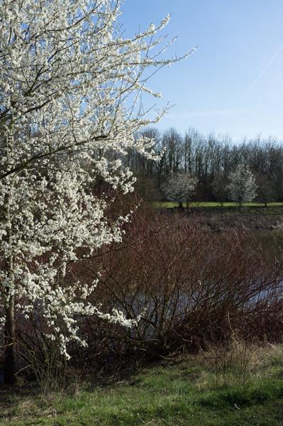
Blackthorn blossom, near and far.
1/500 at f8, 23mm, ISO200 52°0′45″N 0°42′0″W
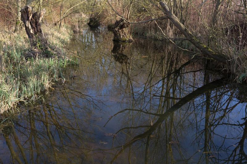
The swampy bit in the middle.
1/250 at f8, 23mm, ISO200 52°0′38″N 0°42′11″W
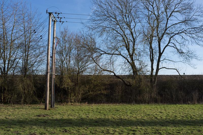
Railway line at southern end (1).
1/500 at f8, 23mm, ISO200 52°0′7″N 0°42′18″W
Railway line at southern end (2).
1/250 at f8, 23mm, ISO200 52°0′6″N 0°42′20″W
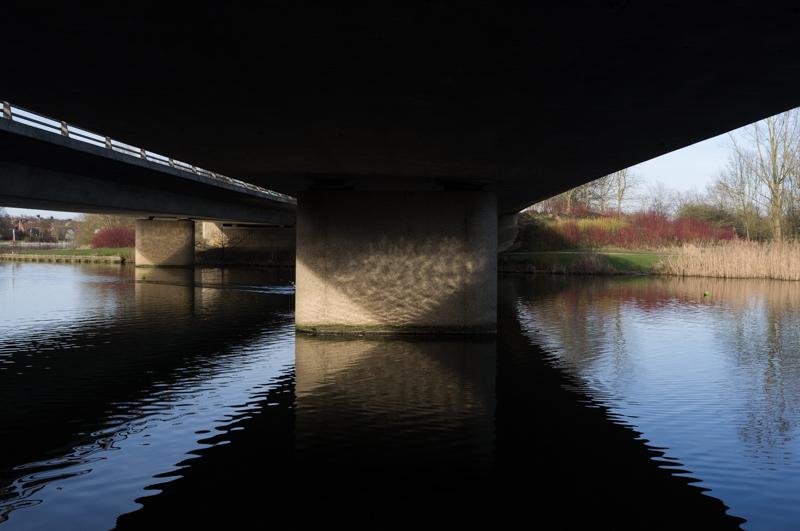
Grid road bridge over the lake’s centre.
1/500 at f8, 23mm, ISO200 52°0′38″N 0°42′24″W
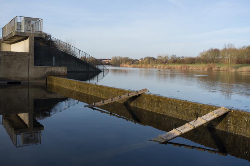
Link to River Ouzel (1).
1/250 at f8, 23mm, ISO200 52°0′45″N 0°42′37″W
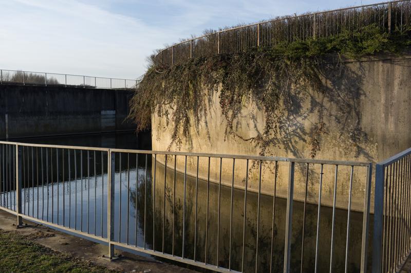
Link to River Ouzel (2). Nice wall with the vegetation climbing down...
1/250 at f8, 23mm, ISO200 52°0′45″N 0°42′37″W
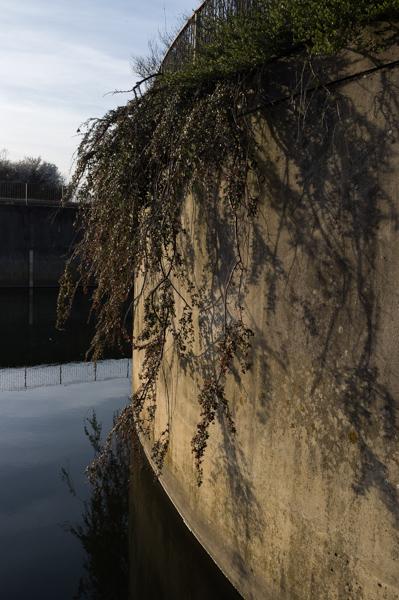
Link to River Ouzel (3).
1/250 at f8, 23mm, ISO200 52°0′46″N 0°42′37″W
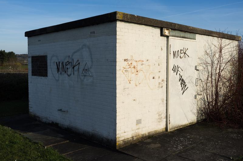
Control building. Tags: Minsk, AMF Crew.
1/500 at f8, 23mm, ISO200 52°0′48″N 0°42′36″W
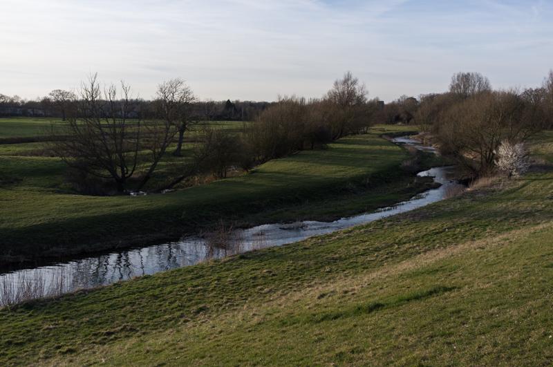
River Ouzel toward Simpson, old moat on left.
1/500 at f8, 23mm, ISO200 52°0′52″N 0°42′33″W
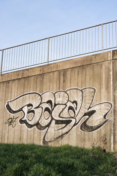
Nice graffiti. Is it ‘Bajah’? In which case the black and white is appropriate...
1/125 at f8, 23mm, ISO200 52°0′55″N 0°42′18″W
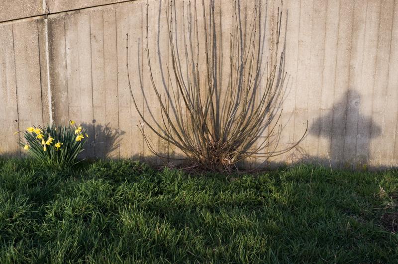
Self-portrait with daffodils and shrub.
1/125 at f8, 23mm, ISO200 52°0′54″N 0°42′18″W