Caldecotte Lake

Introduction

R and I both had the day off work, while the baby was somebody else‘s problem at nursery. We took advantage by taking a short local walk along routes that we walked many times in the past, but not recently.

Walton Park to Caldecotte

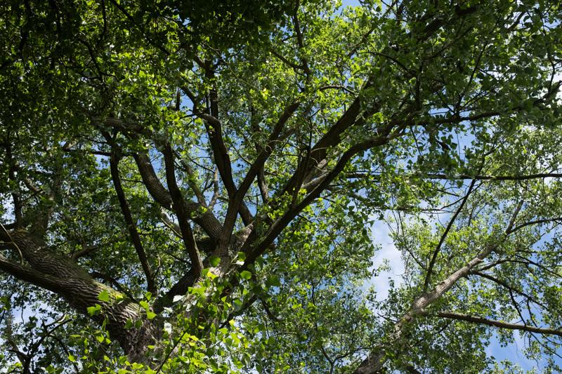
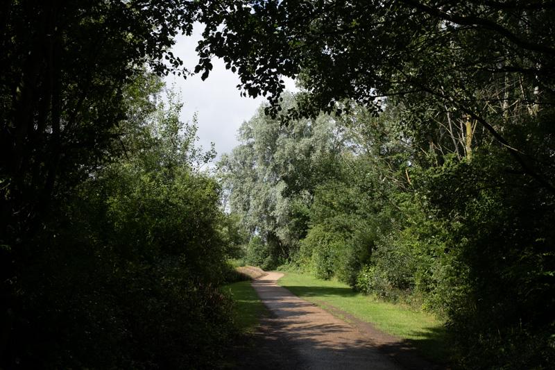
We first walked through some of Walton Park along the river toward Caldecotte Lake. The weather was pleasant, despite forecast rain.
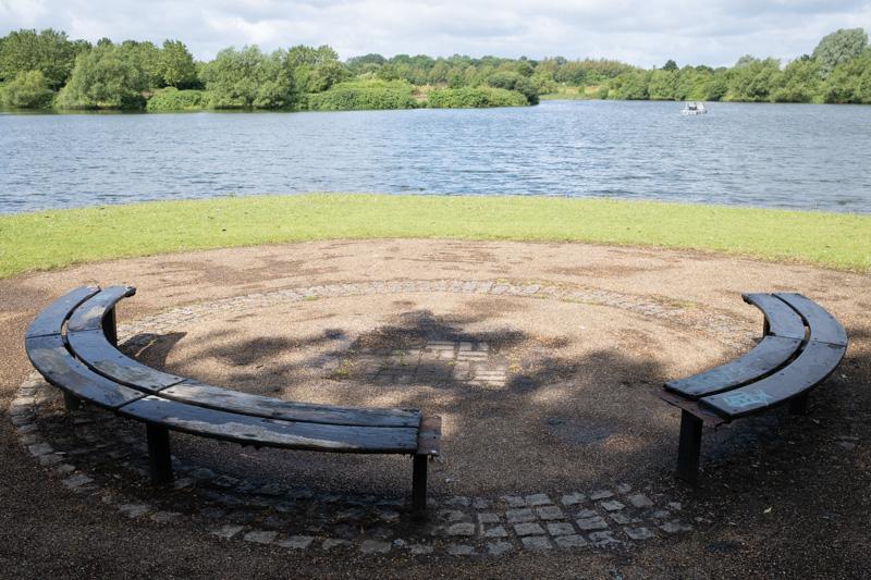
A very tall tree.
1/250 at f8, 23mm, ISO160 52°1′35″N 0°42′54″W
H9 Groveway crossing the flood plain of the River Ouzel.
1/500 at f8, 23mm, ISO160 52°1′10″N 0°42′36″W
Tree trunks by the river.
1/500 at f8, 23mm, ISO160 52°1′10″N 0°42′37″W
The Ouzel near Simpson Road.
1/1000 at f8, 23mm, ISO160 52°1′1″N 0°42′41″W

Caldecotte Lake

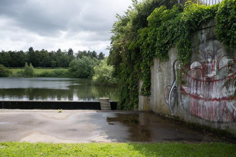
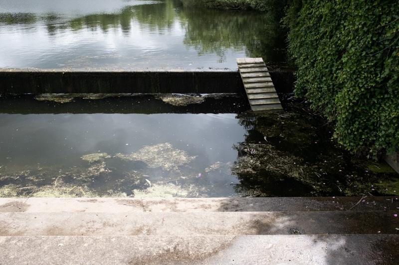
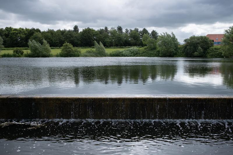
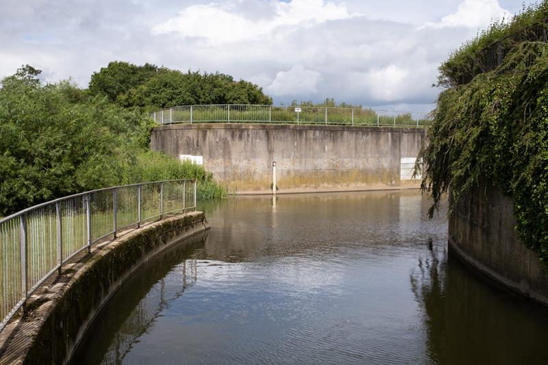
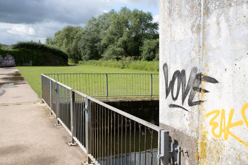
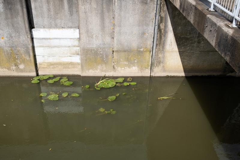
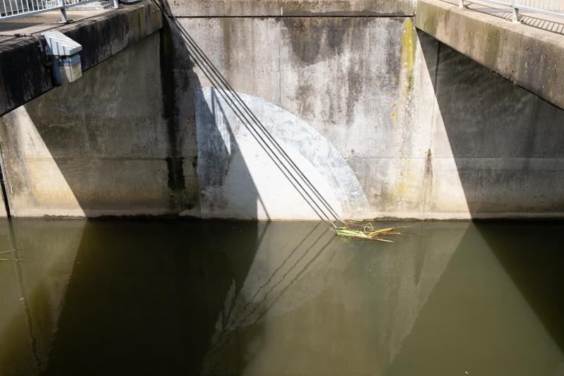
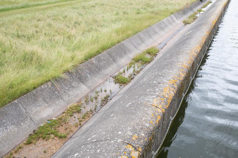
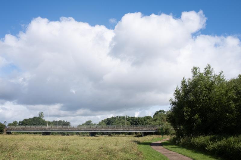
Once we arrived at the lake, we walked around the northern half, beginning and ending at the giant halfpipe - some kind of concrete flood overflow structure. Caldecotte is a balancing lake, designed to reduce the risk of flooding caused by concreting over the rest of the nearby countryside to build south-east Milton Keynes.

The semicircular bench has a bit missing now.
1/500 at f8, 23mm, ISO160 52°0′51″N 0°42′18″W
Lakeside path with tree canopy.
1/500 at f8, 23mm, ISO160 52°0′45″N 0°41′59″W
Bridge over small weir.
1/125 at f8, 23mm, ISO160 52°0′43″N 0°42′3″W

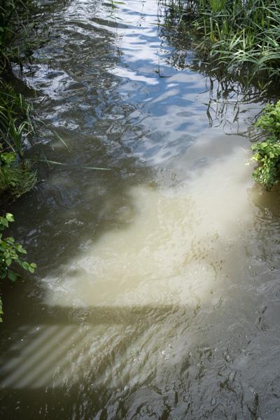
The best bit of the lake (my opinion) is the large concrete structure around the point where it connects to the river.

This graffiti was there last time I visited. It‘s pretty neat.
1/500 at f8, 23mm, ISO160 52°0′43″N 0°42′37″W
For ducks who want to walk the plank.
1/500 at f8, 23mm, ISO160 52°0′43″N 0°42′37″W
Overflow and the opposite bank.
1/500 at f8, 23mm, ISO160 52°0′44″N 0°42′37″W
Channel linking to the river.
1/500 at f8, 23mm, ISO160 52°0′45″N 0°42′37″W
Love.
1/500 at f8, 23mm, ISO160 52°0′45″N 0°42′37″W
New graffiti on sluice control building (I don‘t know, 23 TEFS maybe?)
1/500 at f8, 23mm, ISO160 52°0′45″N 0°42′37″W
Part of the river sluice gates.
1/500 at f8, 23mm, ISO160 52°0′45″N 0°42′38″W
Another part of the sluice gates.
1/500 at f8, 23mm, ISO160 52°0′46″N 0°42′38″W
The halfpipe at the northern end of the lake.
1/125 at f8, 23mm, ISO160 52°0′53″N 0°42′27″W

All images © Samuel Marshall. All rights reserved.