Introduction
This is the second and final part. If you haven't seen it already, you could also check out Part 1.
Spurn Head
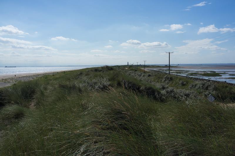
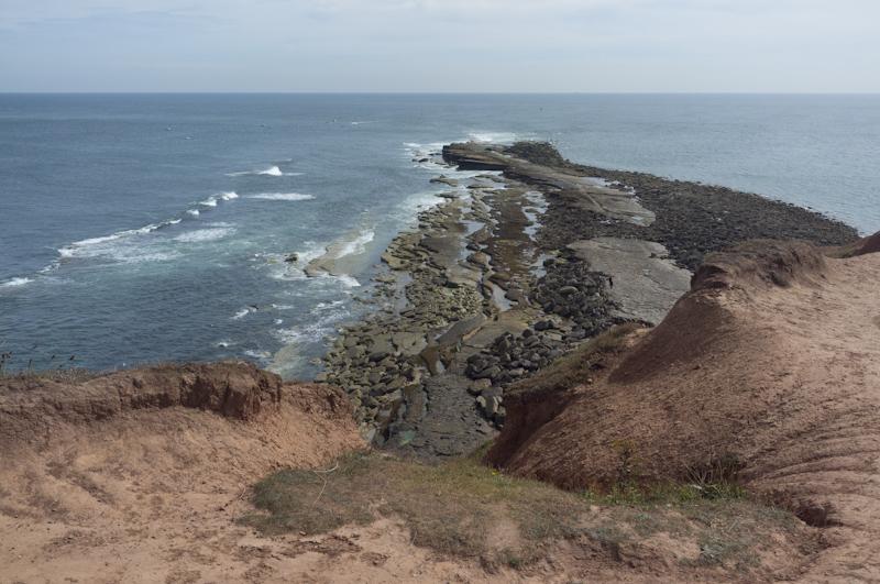
Spurn Head is a long, thin strip of sandy ground that stretches out into the mouth of the Humber. I'd been before, but wanted to make another trip because it's a great place.
To get there I took a train into Hull, then a bus to Patrington, and cycled the rest of the way (about ten miles, I think). This trip was the only reason I took my folding bike on holiday; Spurn isn't an easy place to access by public transport.
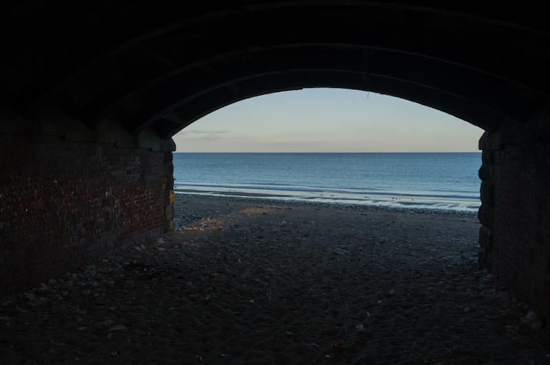
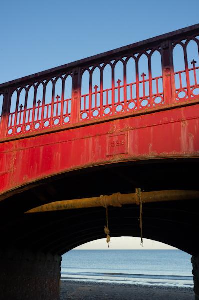
The Head itself is now owned by the Yorkshire Wildlife Trust. You have to pay a small fee to drive onto it, but not if you're on foot or on bike. Cycling has its own disadvantage: the road is sometimes concrete slabs (the old military road or its descendant) but more often becomes sand over weird blocks designed to stop it all eroding away. It's incredibly uncomfortable.
So when I finally got to the end I was glad to rest my sore backside. I was about to lock my bike up in the car park when - just in time - I realised I'd forgotten the key. I twisted the chain around so it wasn't entirely obvious it wasn unlocked and set off on foot to walk around Spurn Point (the slightly larger round bit of land at the end of the headland).
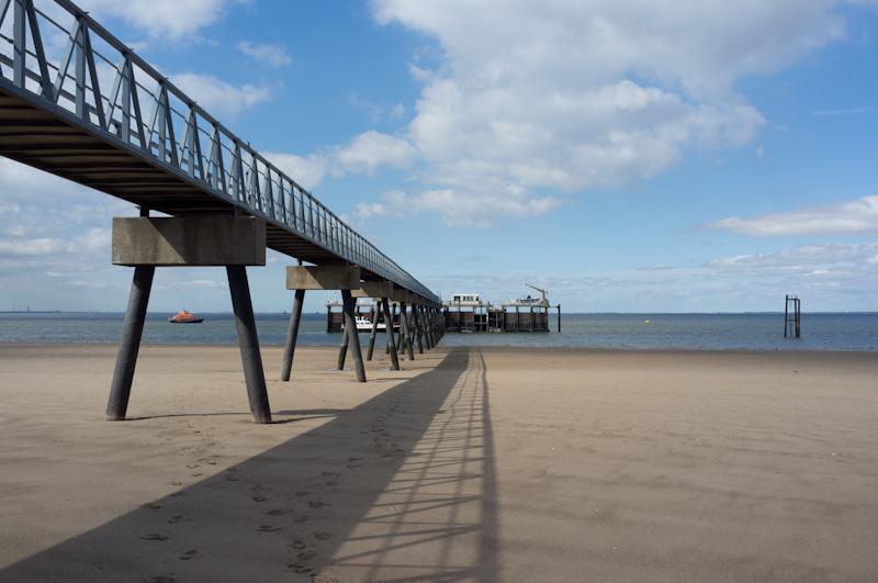
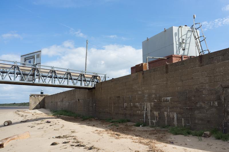
Spurn Point is home to the Humber pilots and lifeboat.
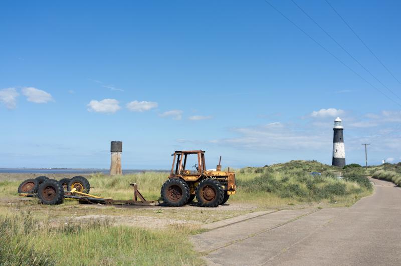
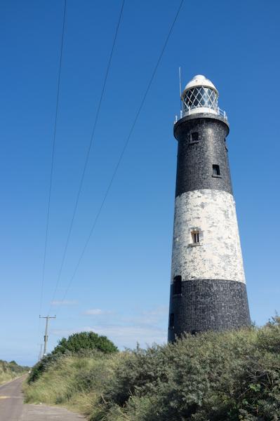
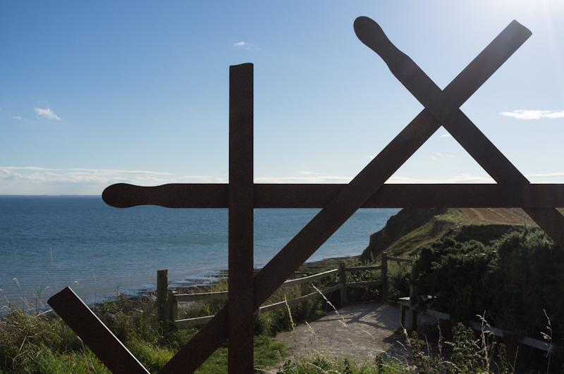
As you might have noticed from some of the pictures above, there are two lighthouses, both disused. The older one was the 'low light' back from when lighthouses were built in pairs.
I recovered my bike safely (looks like nobody drives all the way out to Spurn just to steal bikes) and set off back, stopping a few times to take photos.
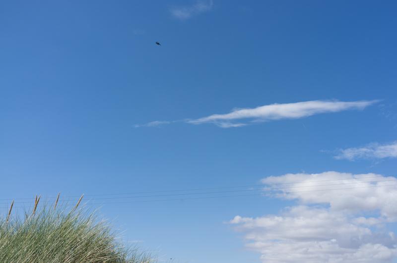
Military aircraft flew overhead... and flew overhead... and flew overhead... I was like, what, I'm sure the UK doesn't even have that many fighter planes. Then I realised they were flying in a wide circle so I was seeing the same few over and over. Well, I guess that's one way to spend your afternoon.
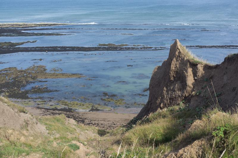
Leaving Spurn, I returned to Kilnsea, which is really just a handful of buildings and farms and a caravan park; most of it fell into the sea years ago. (The Holderness coast has the highest rate of erosion in Europe, according to Wikipedia: on average it loses 1.5m a year.) The old pub, now the wildlife trust's café, still has quite a few years to go, so I was able to get an ice cream there. After admiring the road where it turns into a beach, I set off again for Easington, the nearest small town.
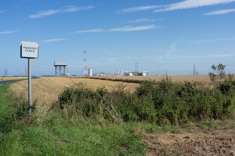
Easington has a large complex of gas plants, something to do with North Sea gas. There's a public road running right through this, although tall fences mean you can't see that much. I took a few pictures anyway but - not entirely to my surprise, though there weren't any no-photography signs - got stopped by a security guard. He was perfectly polite and just asked me to delete those photos, so it wasn't too bad. Bit disappointing though.
After that I cycled to Withernsea (from where I got a bus back to Hull) through farmland, on a bridleway and country lanes.
Bridlington
I spent a day in town; there's a leaflet for a maritime heritage walk, so I followed that, and even visited the small maritime museum, which was reasonably interesting.

In the afternoon, I walked out to Dane's Dyke woods and around the nature trail.
Filey to Scarborough
Next day I took the train to Filey and walked along the coast path to Scarborough.
Filey's a relatively nice, small town. I walked along the seafront a bit, then climbed steps to reach the cliff path. Before long, I was approaching an interesting sandy-cliffed headland that jutted into the sea. I took the side-path out along it, but stayed at the clifftop, rather than trying to descend to the rocks at the end.
It was extremely windy and somebody told me for the first time I'd better hold onto my sunhat. I counted: over the day, five people said that. (They were right, but I managed not to lose it.)
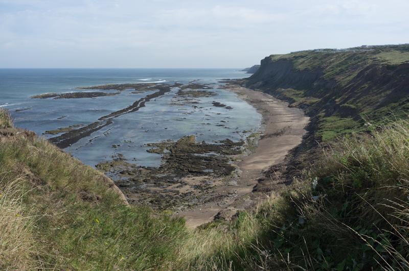
After that I basically followed the path all the way along the coast. It was pleasant but there were few notable landmarks. I took about a million pictures of cliffs, all of which were interesting, but you know, not that interesting, so here's a small selection.
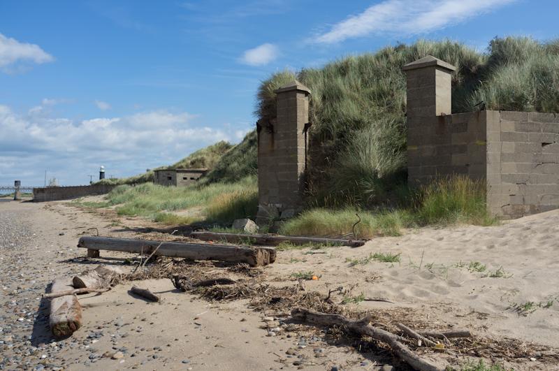
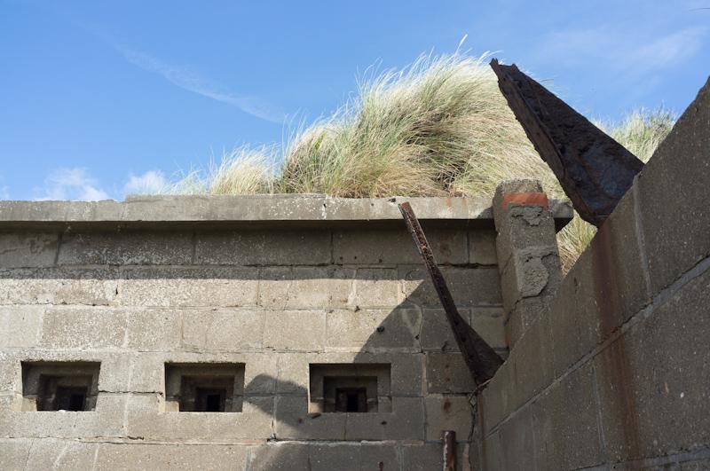
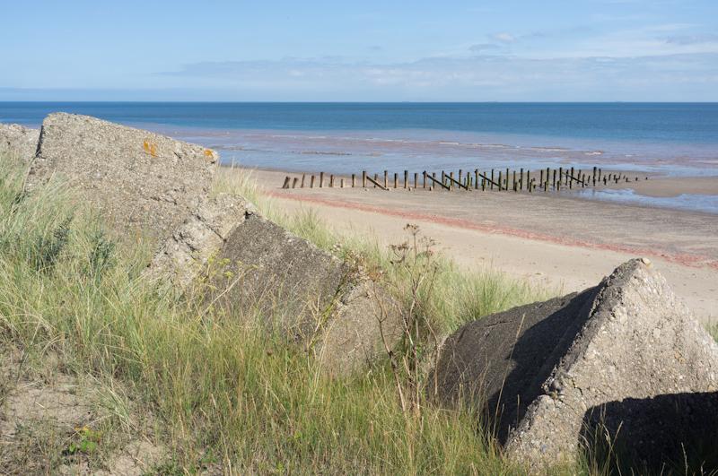
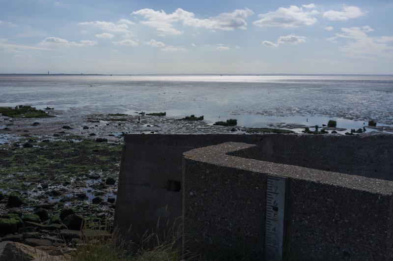
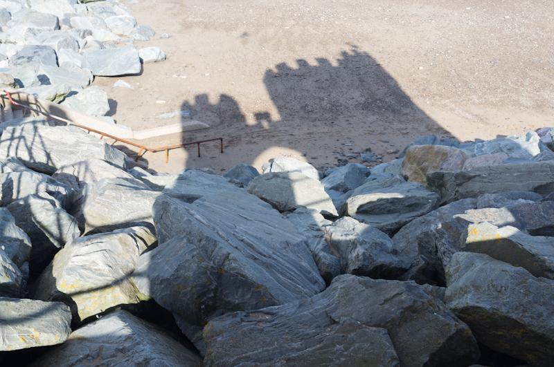
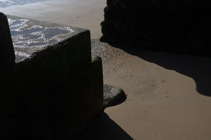
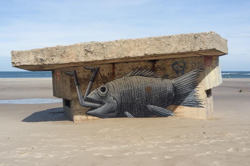
I went down to a sandy beach to sit and eat lunch. The beach had not just one, but two old pillboxes. I don't know why. (Did they just fall off the cliff from erosion, or were they dumped here specifically?)
I reached Scarborough itself in early evening. It's a nice town, and it might have been good to be there earlier when the chocolate shops were open.
On the train back, I amused myself spotting the disused stations that were listed on Wikipedia (there's quite a few, most of which still have platforms). At one point, you can even see the junction where tracks used to run into Filey Holiday Camp.
Speeton to Bridlington
For the last day, I decided to do another section of coast, taking a bus to a village called Speeton a short way north. The bus driver demonstrated the traditional Yorkshire welcome: 'Speeton? I don't go there.' 'Uh...' *driver checks timetable* 'Oh, no, I do. More's the pity. Throws off my timing something terrible.'
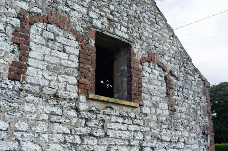
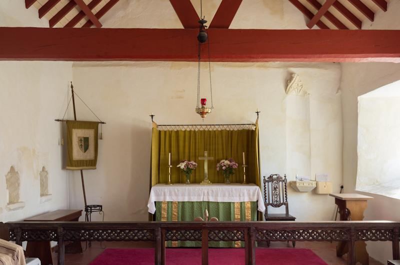
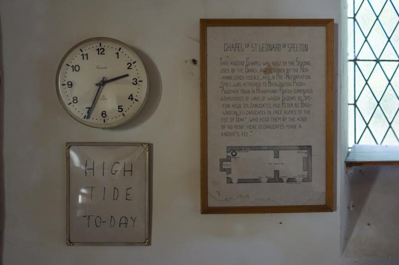
Speeton had a pretty and very small church, which was built around 1100 on the site of an earlier Saxon church.
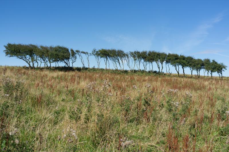
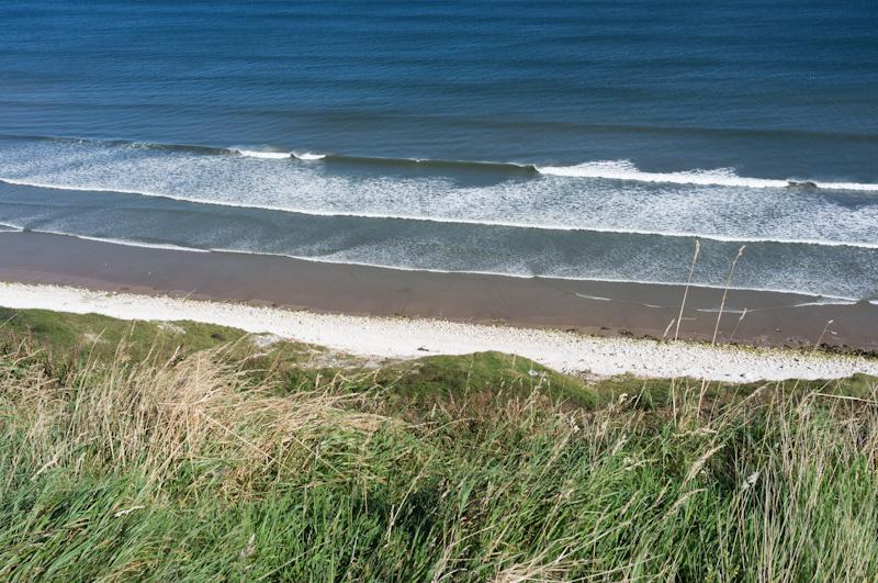
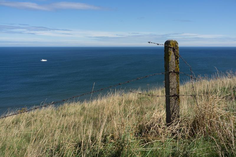
After that I walked along a short footpath to the cliffs. It was another sunny, windy day.
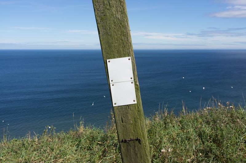
The white plates in that picture are faded public footpath indicators (just arrows pointing each way). I couldn't see them in real life, but if you play with the photo enough they become visible.
There's an RSPB reserve at Bempton. I didn't notice any particularly interesting birds, although there were plenty of seagulls. I think this must have been a particular type of seagull as they made a strange noise, a bit like an old diesel engine in a boat. Possibly gannets, since those were mentioned on various signs.
There's also a disused airbase, but I didn't see a way to get close enough to photograph the remaining buildings. (Didn't look like much anyway.)
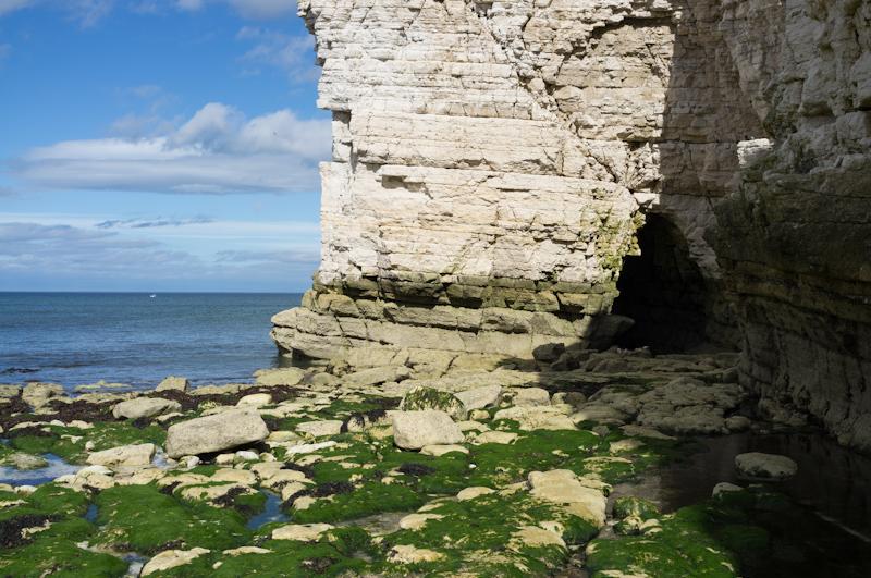
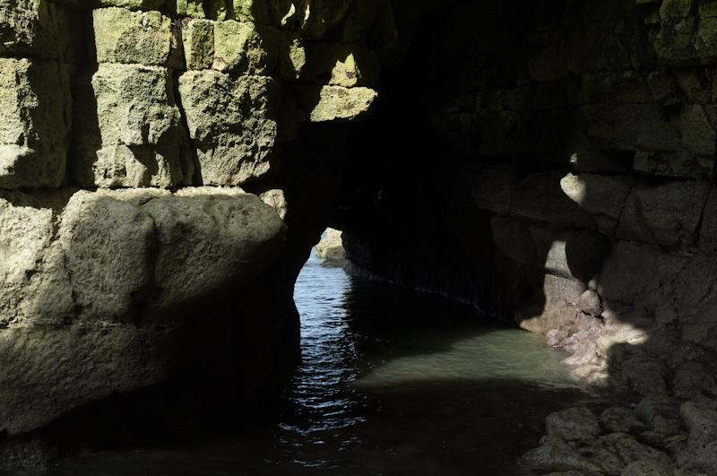
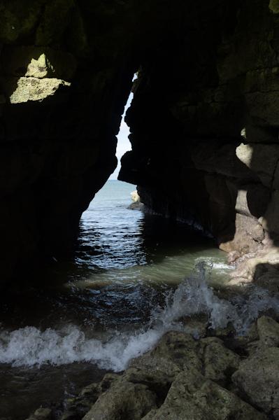
I ate lunch sitting on rocks by Thornwick Bay, after checking out the nearby sea cave.
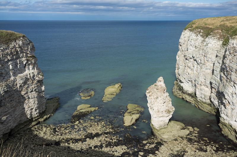
Returning to the clifftop again, I continued around to approach Flamborough Head (which I'd visited back on the first day) from the north.
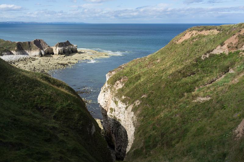
I returned to Bridlington on the coastal path.
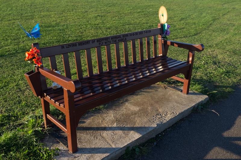
In clifftop parkland north of Bridlington there's a long row of benches facing the sea, all dedicated to somebody or other. A few have plastic flowers and the like.
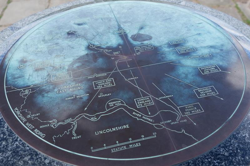
When I arrived in Bridlington, I went looking for a picture I'd seen featured in the local paper. They'd got the location wrong, so I didn't find it straight away.
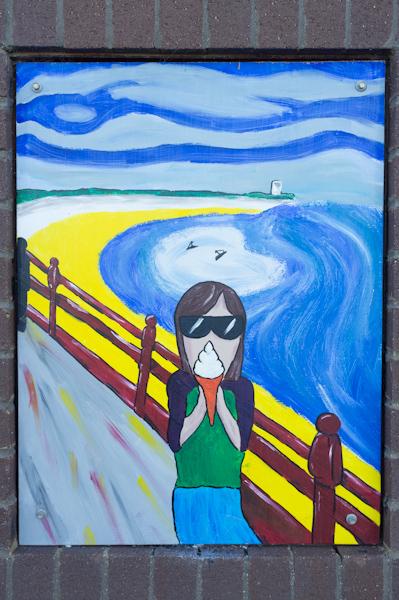
They got local schoolkids to do paintings which were installed along the promenade. This one amused me: it looks like a reference to The Scream, which means either it's making a point about the deep futility of life in a seaside resort, or it's an 'I Scream' pun. Either way, good job.
And that's all. Thanks for looking at all these photos!