Brentford

Introduction

During the Easter break I went for a walk with my dad in the Brentford area. He took us to various interesting and picturesque locations.

The Thames

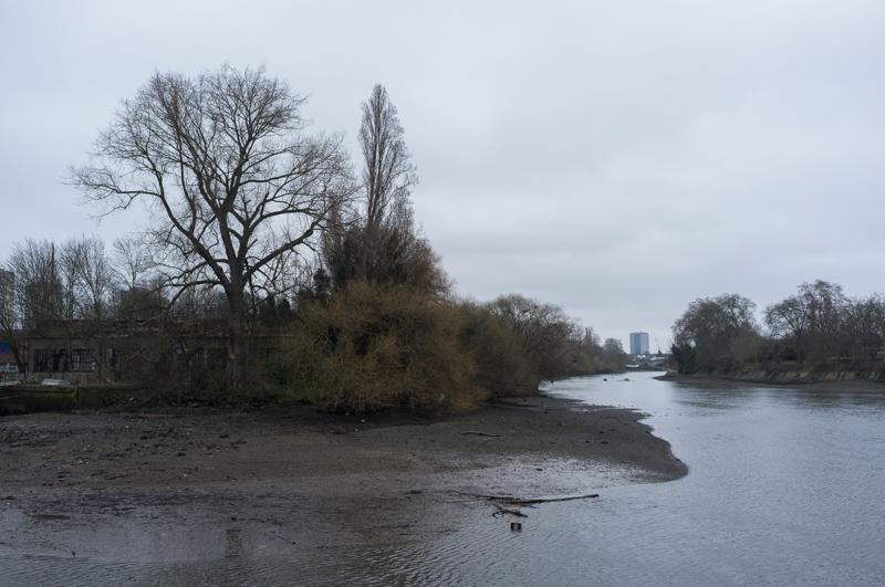
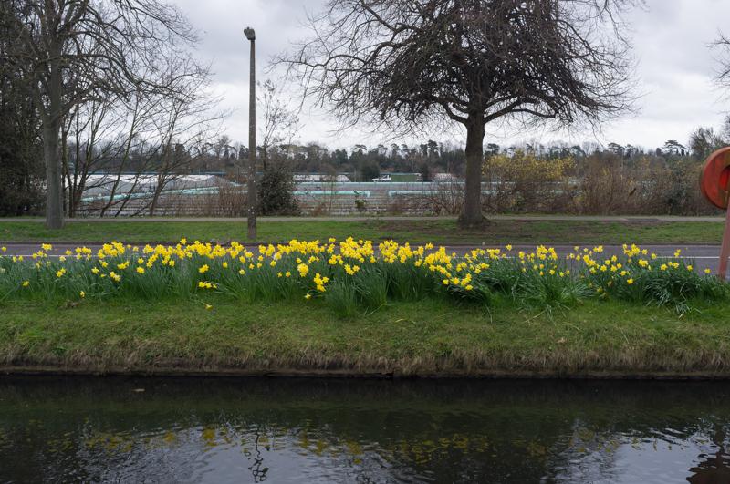
We started from Kew Bridge station and walked to the Thames just beside, unsurprisingly, Kew Bridge. We then followed the Thames west a short way to the point where the Grand Union Canal leaves it, passing through Watermans Park (which Dad said used to be a gasworks when he was a kid).

View across one stream of the Thames to Brentford Ait.
1/125 at f8, 23mm, ISO200
Houseboats Libra, Alabtros, and Deepwater.
1/60 at f8, 23mm, ISO200
Deepwater again.
1/60 at f8, 23mm, ISO200
Boat with slightly rotten parts; more-rotten remains to left.
1/60 at f8, 23mm, ISO200
Odd painted sign. (Neo-nazis? Official warning symbol?)
1/60 at f4, 23mm, ISO200
View from river level across to a boat moored by Lot’s Ait.
1/125 at f8, 23mm, ISO200

We left the Thames and took a short detour along some roads.

Royal Horse Guardman pub wall.
1/125 at f8, 23mm, ISO200
Isleworth Polishing & Plating Ltd.
1/125 at f8, 23mm, ISO200

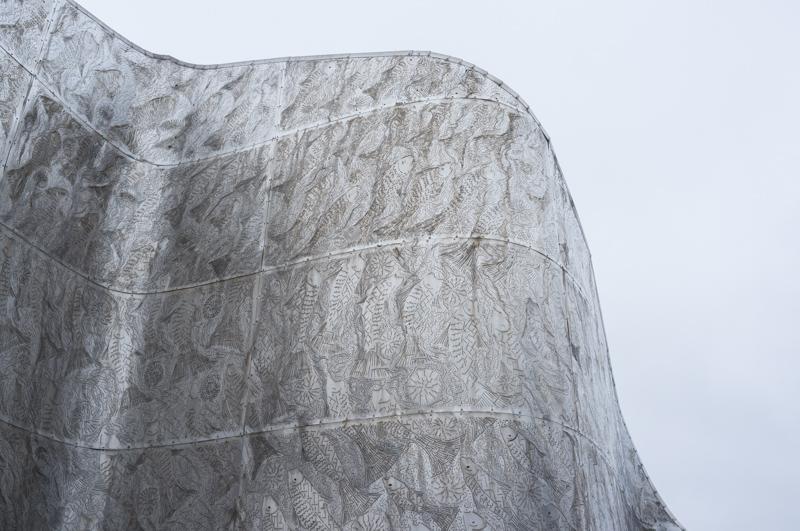
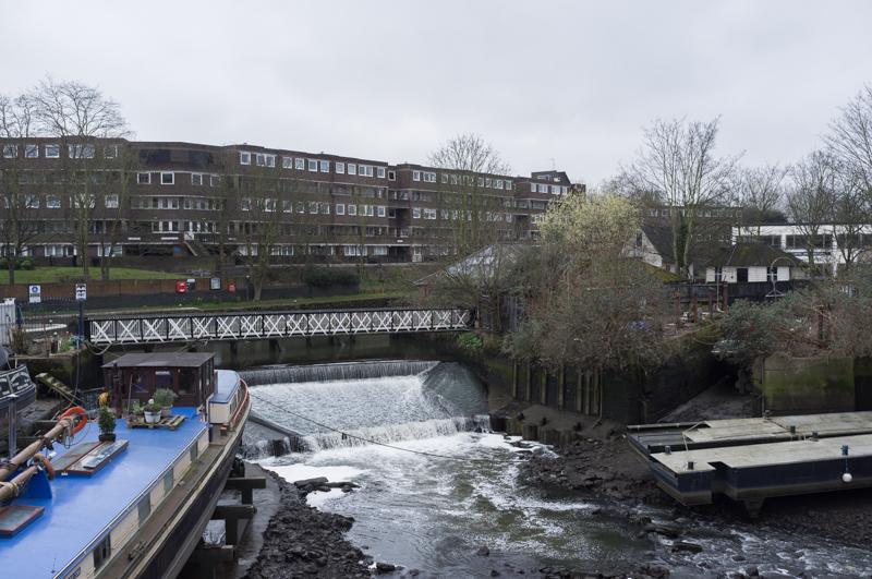
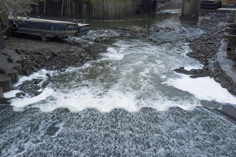
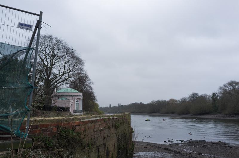
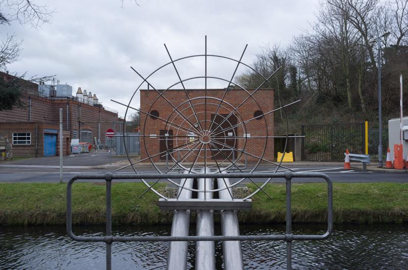
Returning to the river, we walked around the point with a sculpture where the two streams of the Thames rejoin, and where the River Brent (also the canal) then leaves. I’d seen the sculpture before, but not walked around that area as much.

View of the sculpture, including a lot of fish.
1/125 at f8, 23mm, ISO200
View along the main stream of the river back toward Kew Bridge.
1/125 at f8, 23mm, ISO200

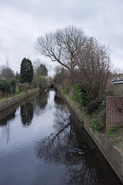
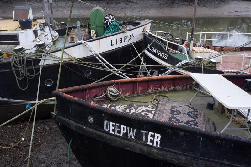
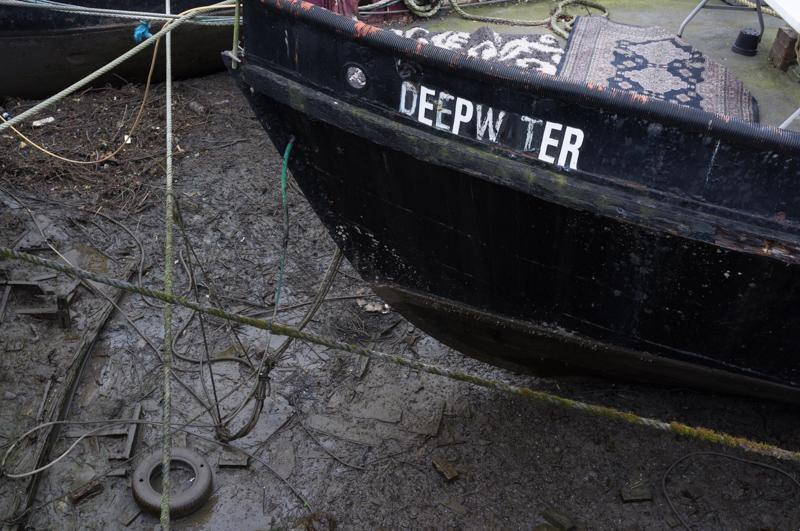
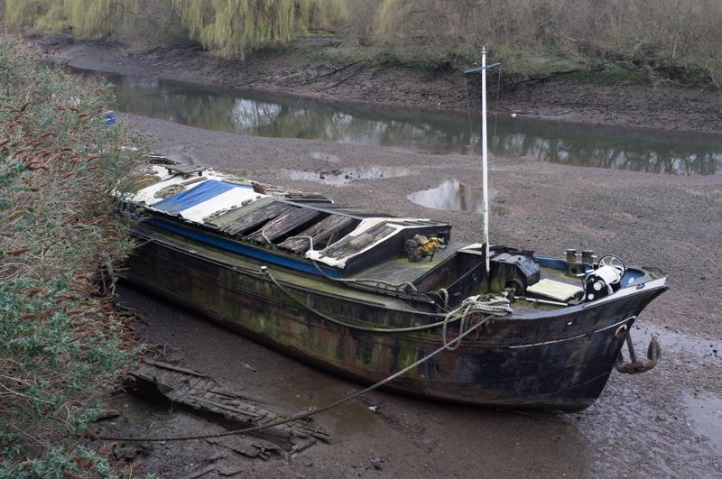
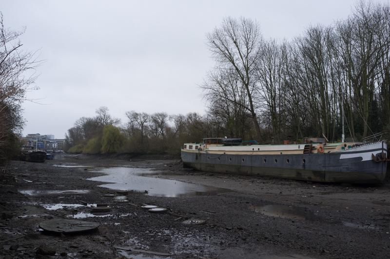
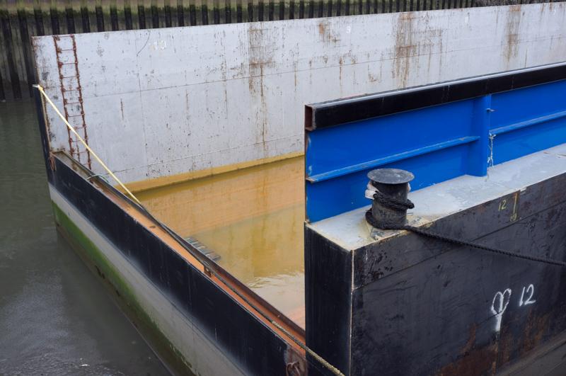
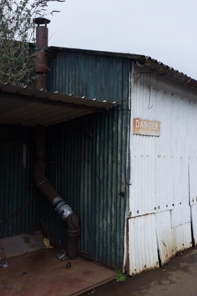
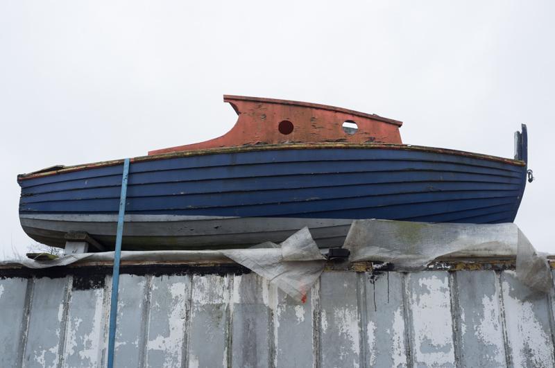
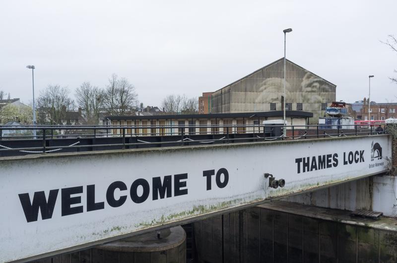
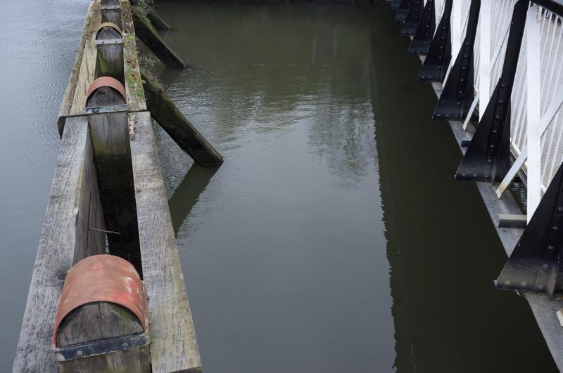
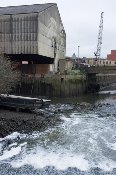
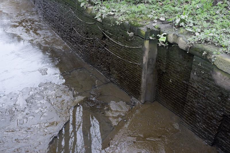
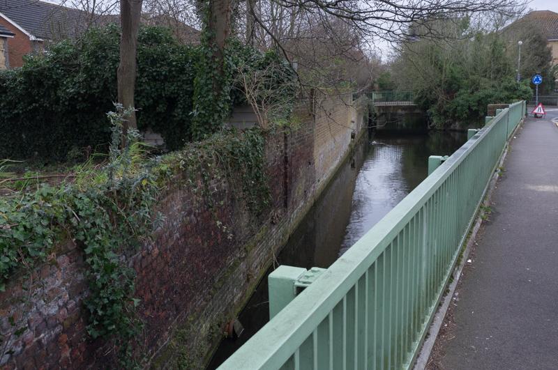
We followed the path beside the River Brent/canal and walked around the boatyards by Thames Lock.

Floating dock.
1/125 at f8, 23mm, ISO200 51°28′58″N 0°18′9″W
Blue building.
1/125 at f8, 23mm, ISO200 51°28′57″N 0°18′11″W
Yellow building.
1/250 at f8, 23mm, ISO200 51°28′59″N 0°18′14″W
Private yard; view of derelict Wilson and Kyle factory.
1/125 at f8, 23mm, ISO200 51°29′0″N 0°18′18″W
Nice building with loading dock over canal.
1/250 at f8, 23mm, ISO200 51°28′58″N 0°18′18″W
Building with loading dock; suspiciously shiny van.
1/250 at f8, 23mm, ISO200 51°28′57″N 0°18′16″W

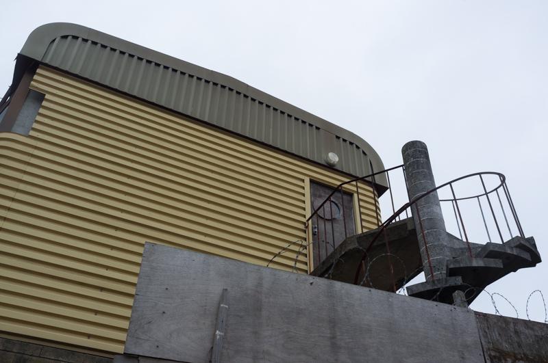
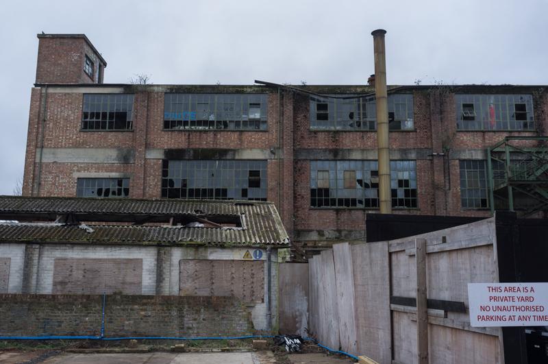
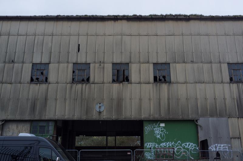
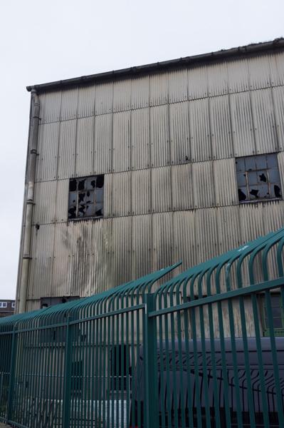
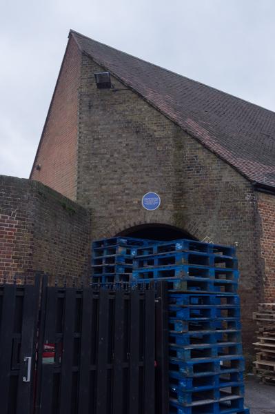
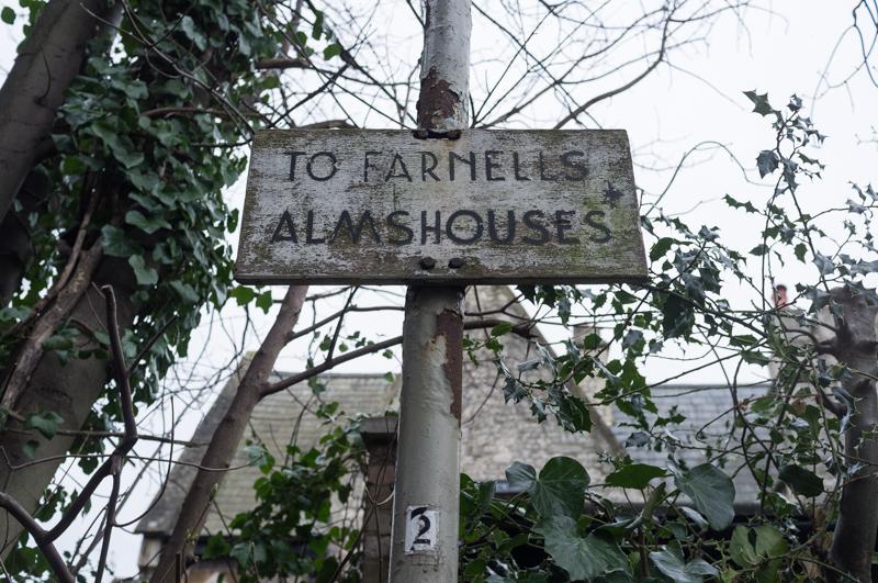
This area used to be a significant port; goods were taken from Thames boats onto the Great Western Railway. The dock used for this still exists but is now part of a large housing estate, which we wandered into and had a quick look.

View of canal weir. Part of housing estate in background.
1/250 at f8, 23mm, ISO200 51°28′57″N 0°18′17″W
Shed by Dock Road.
1/125 at f8, 23mm, ISO200 51°28′57″N 0°18′15″W
Boat on the roof.
1/250 at f8, 23mm, ISO200 51°28′57″N 0°18′16″W
Welcome to Thames Lock.
1/250 at f8, 23mm, ISO200 51°28′56″N 0°18′15″W
Bridge.
1/125 at f8, 23mm, ISO200 51°28′56″N 0°18′17″W
Weir.
1/500 at f4, 23mm, ISO200 51°28′56″N 0°18′18″W
Loading dock, barge, weir.
1/500 at f4, 23mm, ISO200 51°28′56″N 0°18′18″W
Canal walls.
1/60 at f4, 23mm, ISO200 51°28′56″N 0°18′20″W
Flats due for demolition, Catherine Wheel Road.
1/250 at f8, 23mm, ISO200 51°28′58″N 0°18′24″W

We followed Brent Way back to the river and took a slight detour along the river and across a footbridge back to the housing estate. The road access to the estate runs over an old railway bridge; you can still see evidence of the route on maps and aerial photos.

Autowise, Brent Way.
1/250 at f8, 23mm, ISO200 51°28′57″N 0°18′32″W
Shed, Brent Way.
1/125 at f8, 23mm, ISO200 51°28′56″N 0°18′33″W
Under the ex-railway bridge.
1/30 at f2.8, 23mm, ISO200 51°28′54″N 0°18′29″W

We followed the River Brent for a bit back to the high street.

Nice shed.
1/125 at f8, 23mm, ISO200 51°28′52″N 0°18′33″W

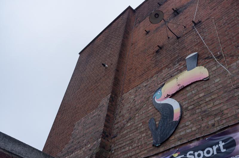
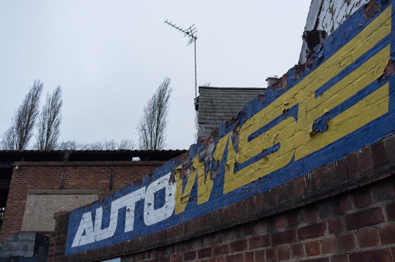
On the high street we went into a shop to buy snacks; the shopkeeper, seeing Dad’s camera, proceeded to show us a folder full of interesting photos he’d taken of Brentford (mainly old buildings that have now been demolished). Not something you expect when you stop off for a chocolate bar!

We continued across Syon Park back to the Thames.

Part of Syon Park.
1/125 at f8, 23mm, ISO200 51°28′40″N 0°18′53″W
Pink building (also part of the Syon Park estate) and the Thames.
1/125 at f8, 23mm, ISO200 51°28′17″N 0°19′8″W

We walked around the river frontage of Isleworth, then followed the line of the Duke of Northumberland’s River along various footpaths and minor roads.

Nice wall plant.
1/60 at f5.6, 23mm, ISO200 51°28′15″N 0°19′24″W
Almshouses.
1/125 at f8, 23mm, ISO200 51°28′15″N 0°19′28″W
River (actually a conduit dug to supply water for mills in Isleworth).
1/125 at f8, 23mm, ISO200 51°28′15″N 0°19′51″W
Nicely lettered sign.
1/250 at f4, 23mm, ISO200 51°28′19″N 0°20′9″W
Entrance to Farnell’s Almshouses (and a plane from nearby Heathrow).
1/125 at f8, 23mm, ISO200 51°28′18″N 0°20′11″W
Shopping trolley in footpath.
1/250 at f8, 23mm, ISO200 51°28′17″N 0°20′9″W

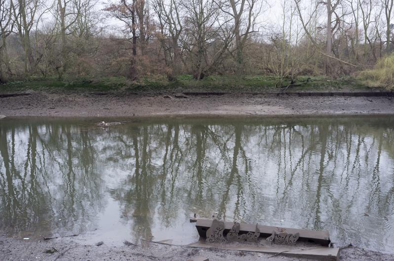
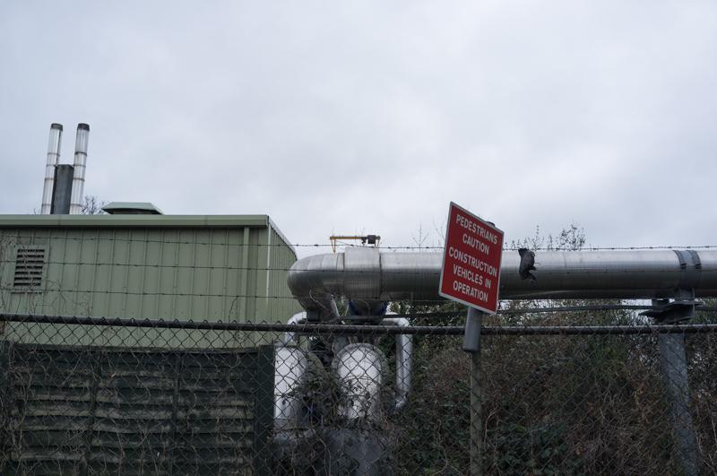
The river and its accompanying footpath runs through the very large Mogden Sewage Treatment Works (which did smell a bit, but not too bad). You can barely see it from the footpath, because it’s screened by trees.

River, daffodils, sewage ponds.
1/125 at f8, 23mm, ISO200 51°27′48″N 0°20′24″W
Large pipes.
1/125 at f8, 23mm, ISO200 51°27′41″N 0°20′24″W
Pipe bridge.
1/125 at f8, 23mm, ISO200 51°27′39″N 0°20′25″W

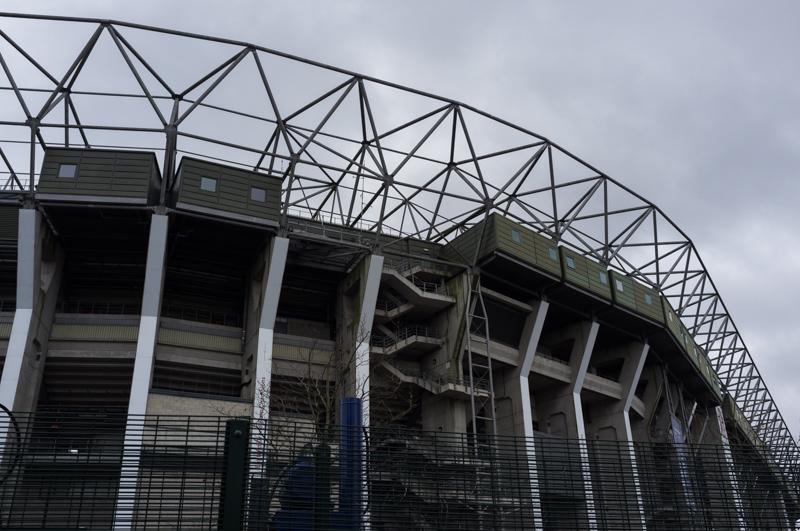
We continued with the river as it passed the rugby stadium in Twickenham.

Stadium car park and river.
1/160 at f8, 23mm, ISO200 51°27′32″N 0°20′29″W
Stadium.
1/125 at f8, 23mm, ISO200 51°27′22″N 0°20′38″W

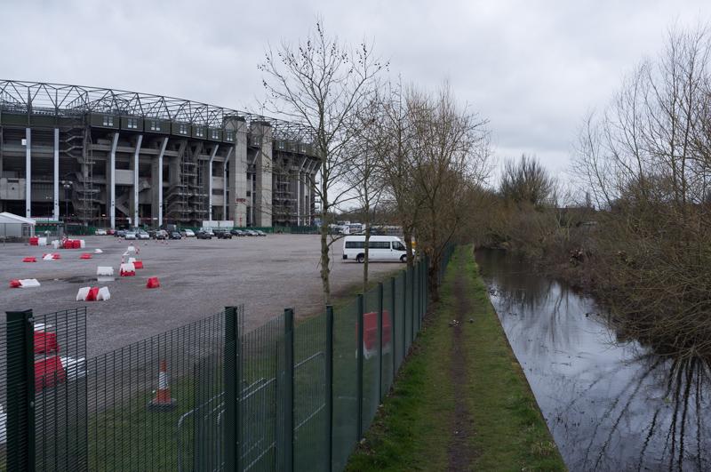
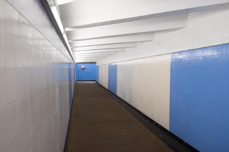
The river also passes a second and rather smaller rugby stadium, not half a mile from the first. It then crosses under the railway where it joins the River Crane. We followed this across a park, then walked along a few streets and in a subway under Chertsey Road to reach Whitton railway station.

River passing gardens.
1/125 at f8, 23mm, ISO200 51°27′13″N 0°20′41″W
Subway.
1/60 at f4, 23mm, ISO200 51°26′55″N 0°21′17″W
Whitton station.
1/250 at f8, 23mm, ISO200 51°26′57″N 0°21′27″W

All images © Samuel Marshall. All rights reserved.