Belper to Whatstandwell

Introduction

We were staying at my brother's; he led us on a walk over the hills from Belper (where he lives) to a place with a silly name: Whatstandwell.

The walk

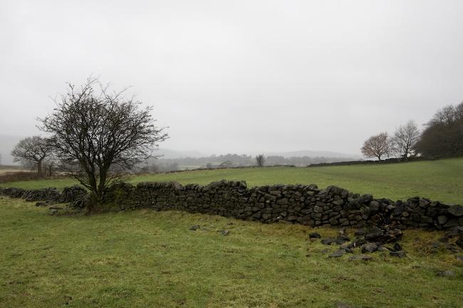
We climbed steeply out of the town and then along the hilltops. The weather was lovely.

Trees and drystone walls and hills and rain.

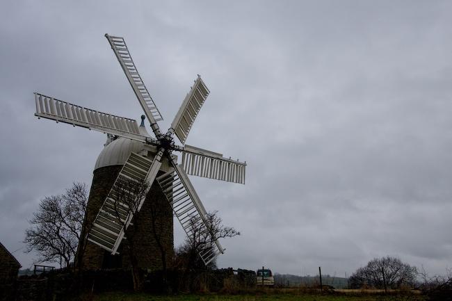
The first exciting landmark was a windmill near a town called Heage, which is just across the hill from Belper.

Windmill (closed).
A wet stile.

Passing through more fields, we eventually descended into a place called Bullbridge.

Coloured drainpipes in a farm in town.
Side window of farm building.

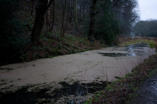
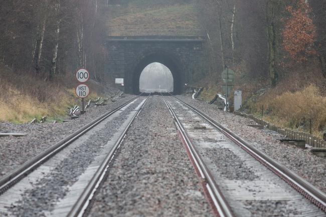
I think there was a disused railway bridge or so, but we ended up skirting patches of damp to cross a field, then over the still-used railway line.

Tunnel view from railway crossing. (It's raining.)

Crossing more muddy fields and eventually something that was practically a swamp, we emerged into the town of Crich. This appears to be best-known for a disreputable vicar several hundred years ago. It also has a chipshop where lunch was obtained.

The town cross.

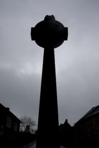
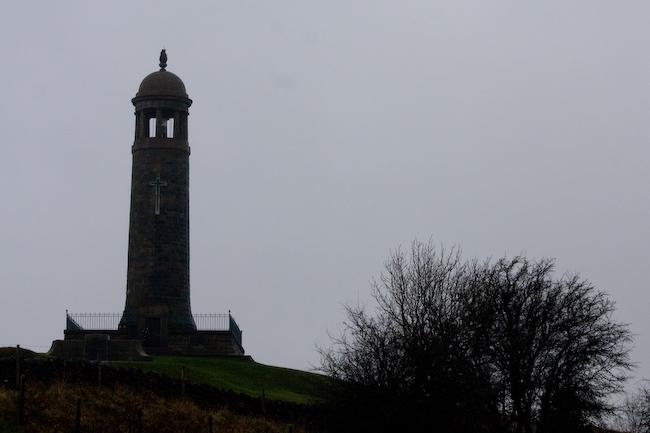
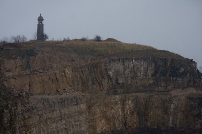
Leaving behind this den of debauchery, we took a road out of town and up a hill to a large memorial tower, Crich Stand. This is a memorial to soldiers in the local regiment who died in the world wars.

Still raining. Up on the top of the hill it was really damn cold; my fingers got completely numb, I could barely take pictures.
You can see for miles! Of grey.

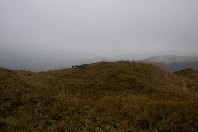
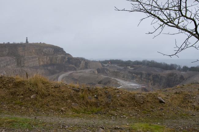
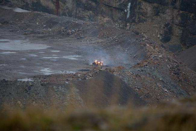
We hadn't noticed it from the direction we approached, but the memorial is actually built on the edge of a huge quarry that ate up half the hill. Descending on the other side, we rounded the quarry's edge.

Quarry (memorial tower on left).
Bonfire on quarry base. This isn't a great picture, but it really reminds me of the gates of Mordor or something, so I left it in.
Telephoto view of some of the quarry wall with memorial on top.

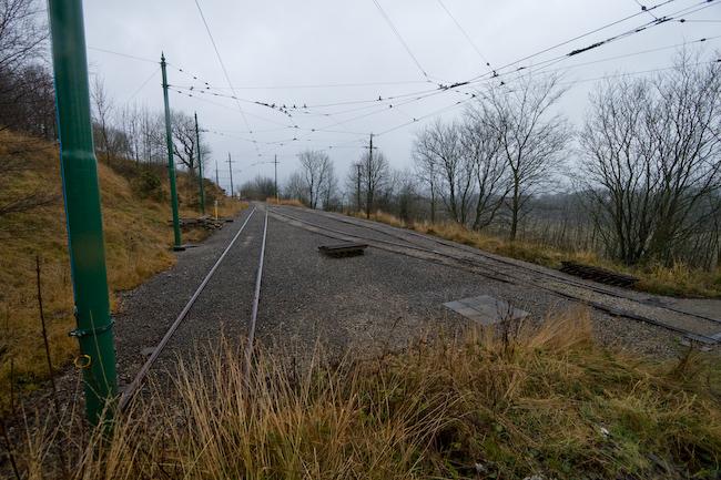
Continuing downhill, we reached the edge of the National Tramway Museum (which was closed). I presume the trams were all safely home indoors. (Before it was a tramway museum, a railway had been built here to carry minerals from the quarry.)

Tram tracks.

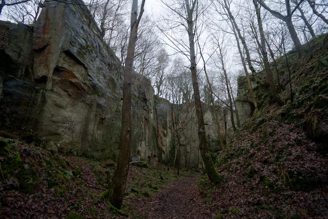
Still further downhill, we found and indeed walked through more of the quarry - but this was a little less dramatic, since trees and copious undergrowth grew all over. Still, it was quite an impressive place.

Trees and rocky quarry-edge cliffs.

Finally we followed the railway and canal to Whatstandwell station, where we discovered that the bus would arrive before the train, so got that back.

Having diverged from the mainline, the railway is single-track at this point.
Mmm, that canal water looks so clean you could drink it!

Javascript recommended; browser information

This site requires Javascript and a current browser for the dynamic photo viewer to work. The browser you're using doesn't make the grade.

You can still use the site; when you click on a picture thumbnail, the picture will open in this same window. (Use the Back button to return.)

If you want the site to be at its best, please enable Javascript and use a supported current browser. This site does not use any browser-specific code but it relies on support for core Web standards set by the W3C: XHTML, CSS, and the Javascript DOM.

We recommend using Mozilla 1.0+ or Netscape 7.0+ (or another browser using the Gecko layout engine). The site also works on Microsoft Internet Explorer 6.0+ (PC), which doesn't fully support the necessary standards but we did a workaround for it. It doesn't work on Opera because Opera doesn't support the DOM. Opera 7.0+ may resolve this in which case it'll work there too.

Site developed in valid XHTML 1.0 and CSS 2.0. Fully accessible to users in text browsers or without CSS+JS.

Created with leafdigital picstory 1.0